

Rievaulx Moor
Good walks are even better shared.
SE5890 : Track Junction, Rievaulx Bank
Mick Garratt Photo source
Overview
Rievaulx Moor
Overview
Nestled within the enchanting North York Moors, Rievaulx Moor stands as a hidden gem for outdoor enthusiasts. At an elevation of 410 meters, it is classified as a Marilyn, offering both challenge and reward for those willing to trek its trails.
Geology
Rievaulx Moor showcases the stunning geological features typical of the Yorkshire landscape. The predominant sandstone, coupled with limestone, creates a patchwork of rocky outcrops and grassy slopes. These geological formations not only add character but also provide ideal habitats for local wildlife.
Routes
One of the most popular routes is from the historic Rievaulx Abbey. This 6.5 km hike will take around 2.5 hours and is of moderate difficulty. Expect to be charmed by the woodland trails that give way to open moorland as you make your ascent. It’s a walk that combines history and natural beauty—perfect for those who enjoy a good story along with their cardiovascular workout!
Summit Features
At the summit, you’ll find a small stone cairn and a trig point—ideal for a cheeky pose with your walking partner. The views from up here are simply splendid, so don’t forget your camera (or, as some like to say, 'the mother of all selfie sticks').
Terrain
The terrain is predominantly grassy but be cautious as some areas may be boggy, especially after wet weather. On your way, keep an eye out for some of those notorious Yorkshire gritstone outcrops—these rocks don't fool around!
Views
When the clouds part, the vista from Rievaulx Moor is breathtaking. One can savour the sight of the Hambleton Hills and even the distant Cleveland Hills on a clear day.
Best visited during late spring to early autumn, when the moors are awash with blooming heather and the weather tends to play nice.
Hazards
While Rievaulx Moor can be a delight to walk, remember that poor weather can suddenly obscure the views. Navigational skills could be vital; don’t forget to pack a map and compass. And watch your step in those muddy patches—some may try to swallow you whole!
Access
The start of your adventure begins at Rievaulx Abbey, where there’s a handy car park (SE570903) for your vehicle. If public transport is your style, Helmsley is your best bet, though you may have to walk a bit to reach the trailhead.
Amenities are available nearby, including public toilets at the abbey and various cafes in Helmsley for a well-deserved treat after your hike.
History
The name Rievaulx hints at its storied past—meaning 'valley of the river,' it’s steeped in history thanks to the Cistercian monastery established in the 12th century. These monks didn’t just brew ale; they played a key role in shaping the very ethos of medieval England.
So, whether you’re a history buff, a nature-lover, or simply someone looking for some fresh air (and potentially some fresh cakes after), Rievaulx Moor should undoubtedly be on your list!
Happy hiking!
Explore routes near Rievaulx Moor
Walks starting near this hill. Open a route to check its map, distance and full itinerary.
Sutton Bank: Gormire Lake and Boltby full northern circuit
View route
Silton Forest and Red Way circuit
View route
Coxwold, Beacon Banks and Husthwaite circular walk near Thirsk
View route
Scarth Wood Moor and Mount Grace Priory approach via Osmotherley
View route
Route planning notes
These notes describe possible approaches. Check a route's map and access information when planning your walk.
Rievaulx Abbey to Moor Summit
A scenic route starting from the historic Rievaulx Abbey, leading you through woodland and open moorland to the summit.
Make a day of it, together
Find someone to share the walk with, or organise a day out along a route you like.
Photo Gallery
View all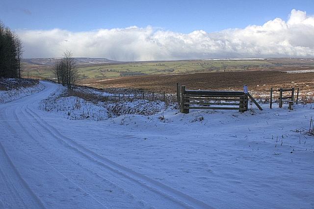 Photo could not load
SE5890 : Track Junction, Rievaulx Bank
Mick Garratt
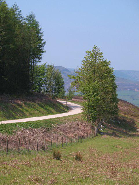 Photo could not load
SE5890 : Track at base of Rievaulx Bank
Gordon Hatton
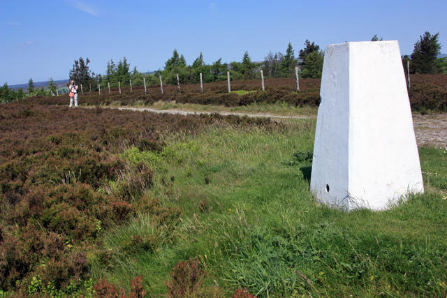 Photo could not load
SE5890 : Trig point on Helmsley Moor
Peter Church
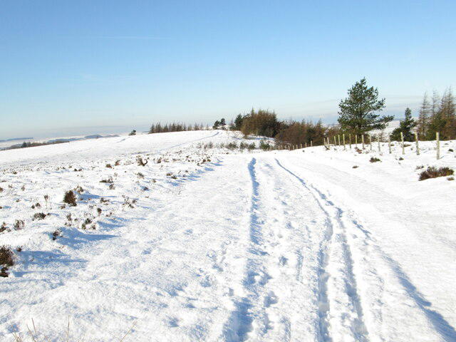 Photo could not load
SE5890 : Rievaulx Moor track
T Eyre
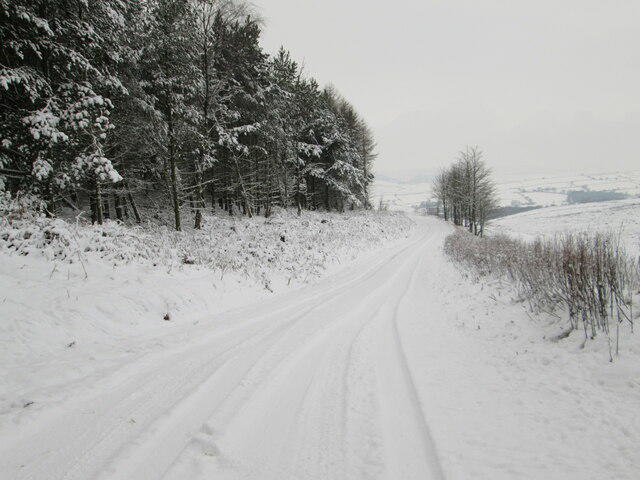 Photo could not load
SE5890 : Roppa Wood
T Eyre
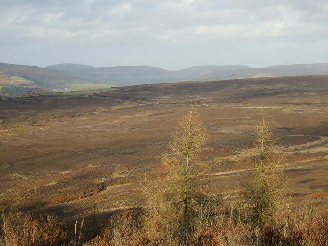 Photo could not load
SE5890 : The top of Rievaulx Bank
T Eyre
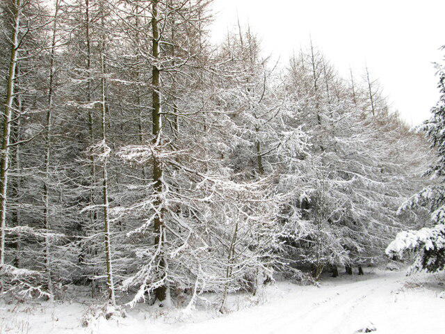 Photo could not load
SE5890 : Bottom of Rievalaux Bank
T Eyre
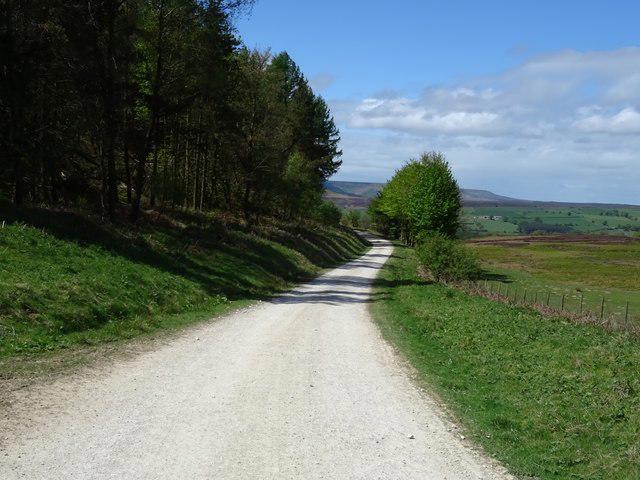 Photo could not load
SE5890 : Track (footpath) heading west below Rievaulx Bank
JThomas
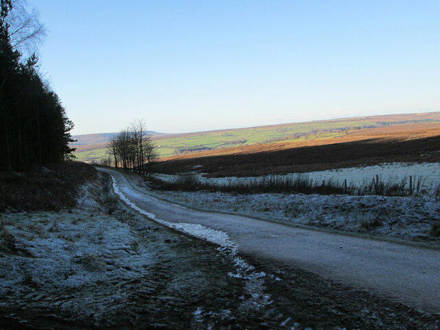 Photo could not load
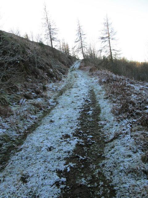
SE5890 : Icy track in Roppa Wood
T Eyre
SE5890 : Rievaulx Bank
T Eyre
Hill facts and local notes
Classifications
Elevation
329m
1,080 ft
Prominence
68m
Coordinates
54.3084, -1.1021
SE585906
OS Map
100
Explorer: OL26S
At the Summit
The summit features a small cairn and offers a trig point, perfect for poses and panoramic selfies.
Terrain & Geology
Primarily composed of sandstone with underlying limestone, Rievaulx Moor features typical Yorkshire gritstone outcrops that provide interesting rock formations and a fascinating landscape.
Views & Scenery
On a clear day, you can see the rolling hills of the North York Moors, including landmarks like the Hambleton Hills and the distant Cleveland Hills.
History & Heritage
Name Origin
The name 'Rievaulx' derives from the French 'Rieuval,' which means 'valley of the river.'
Historical Significance
Historically, the area is known for the influential Rievaulx Abbey, founded in 1132, which played a major role in the Cistercian monastic movement.
Getting There & Facilities
Parking
There is a small car park at the base of Rievaulx Abbey (SE570903), which provides easy access to the start of the walking route.
Public Transport
The nearest bus stop is in Helmsley, approximately 4 miles away, with limited services available.
Nearby Facilities
Public toilets are available at Rievaulx Abbey, and there are several cafes in Helmsley offering refreshments.
Safety Information
Known Hazards
- Poor weather can quickly reduce visibility; ensure you have proper navigation tools. Careful of muddy patches that can be deceptively deep!
General Safety Tips
- Check weather conditions before setting out
- Carry appropriate clothing and equipment
- Let someone know your planned route
- Take a map, compass, and GPS device
- Carry emergency supplies: food, water, first aid kit, torch
Hills
Some common questions about the hills answered
Are there group walks up Rievaulx Moor?
Many walkers use Walkmates to join or organise walks with others. You can check for group walks around Rievaulx Moor through the maps
Are there other walkers around Rievaulx Moor?
Activity varies by location and time, but Walkmates lets you see whether others have shared walks or shown interest in this area. Find other people through the walking friends search walking friends for Rievaulx Moor search or of course create your own walk for Rievaulx Moor
Can I organise a walk to Rievaulx Moor?
Yes. If there aren’t any walks listed already, you can create a walk and make it available for others to join.
If you're signed up to Walkmates, you can create a walk to Rievaulx Moor.
How do I find a walk up this hill?
There are often multiple ways to walk this hill, depending on experience and route preference. Walkmates helps you explore walks and routes that others have shared.
Can I suggest a new route up Rievaulx Moor?
Yes. You can suggest or create routes to share with others. Walkmates focuses on the social side of walking, so routes are used to help people organise walks and explore areas together, rather than as detailed navigation tools or route libraries.
Other uses really appreciate knowledgeable walkers sharing their routes. Share your favourite route to Rievaulx Moor here
The is an error or something incorrect about this hill. How do I let you know?
We always strive to keep the information on Walkmates as accurate as possible. If you find an error, please let us know through the contact form and we'll aim to correct it as quickly as possible
Community Discussion
Comments
Location
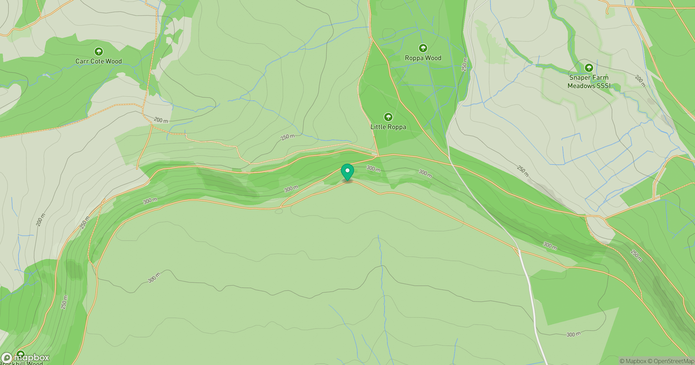
Grid reference: SE585906
View on OpenStreetMapOpens a map in a new tab, centred on the hill.
Nearby Hills
Rombalds Moor [Ilkley Moor]
402m
Buckden Pike
702m

Pen-y-ghent
694m
Nine Standards Rigg
662m

Kinder Scout
636m
No comments yet. Be the first.