

Redhill Common
Good walks are even better shared.
TQ2749 : St Johns School Air-raid shelter
Mike Stace Photo source
Overview
Overview
Redhill Common is a delightful green space nestled in the Surrey Hills, known for its welcoming scenery and friendly trails. Only a stone's throw away from the bustling streets of Redhill, this little gem is perfect for a leisurely wander or a brisk hike.
Geology
The area predominantly features Weald clay and sandstone, remnants of ancient river systems. It's said that many a picnic made on these banks could tell a tale of its own!
Routes
Redhill Common Circular Route
This family-friendly loop allows you to explore not just the Common but the neighbouring woodlands, perfect for kids (or adults) in need of some fresh air.
Redhill Common to Earlswood Park
A simple stroll that leads to the gorgeous Earlswood Park - great for enjoying a lazy afternoon.
Summit Features
The summit, although modest in height, boasts picturesque benches where you can catch your breath and enjoy that all-important view. Pack a sarnie!
Terrain
Expect grassy paths with some rocky patches, well-maintained and forgiving for less experienced hikers and families.
Views
On a clear day, the South Downs and Surrey Hills will greet you, a sight sure to lift your spirits. Spring and autumn offer the best spectacles of nature, each season dressing the Common in beautiful colours.
Hazards
Keep an eye out for wildlife, particularly in the early hours as they tend to be a bit more adventurous!
Access
Parking is handy near Redhill Station, with excellent public transport links from London.
Facilities
You’ll find local cafes for coffee and toilets in Redhill, making this a convenient outing for everyone.
History
The name 'Common' reflects its shared use for grazing and social gatherings, establishing it as a cherished locale for the community.
With its gentle slopes and delightful nature, Redhill Common is a welcome respite from the hustle and bustle of everyday life - perfect for a bit of fresh air and a good walk. So lace up those boots and get wandering!
Explore routes near Redhill Common
Walks starting near this hill. Open a route to check its map, distance and full itinerary.
Reigate Hill B-17 Crash Site and Colley Hill
View route
Box Hill Hike: Mickleham and Headley Heath full circuit
View route
Box Hill - Stepping Stones Circuit
View route
Coulsdon Walk with Men Walking & Talking
View route
Route planning notes
These notes describe possible approaches. Check a route's map and access information when planning your walk.
Redhill Common Circular Route
A family-friendly circular walk offering scenic views and a gentle ascent through lush woodland.
Redhill Common to Earlswood Park
A straightforward path towards Earlswood Park that provides ample spots for wildlife watching.
Make a day of it, together
Find someone to share the walk with, or organise a day out along a route you like.
Photo Gallery
View all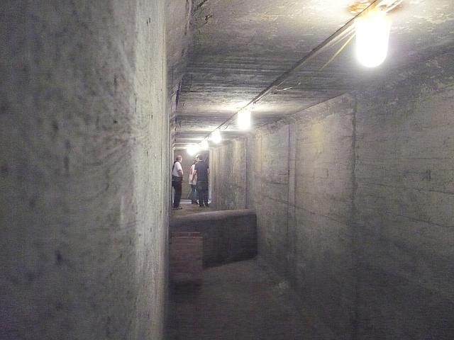 Photo could not load
TQ2749 : St Johns School Air-raid shelter
Mike Stace
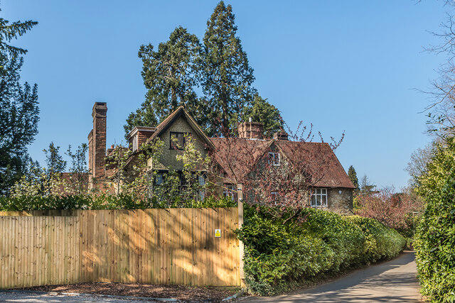 Photo could not load
TQ2749 : The Old House
Ian Capper
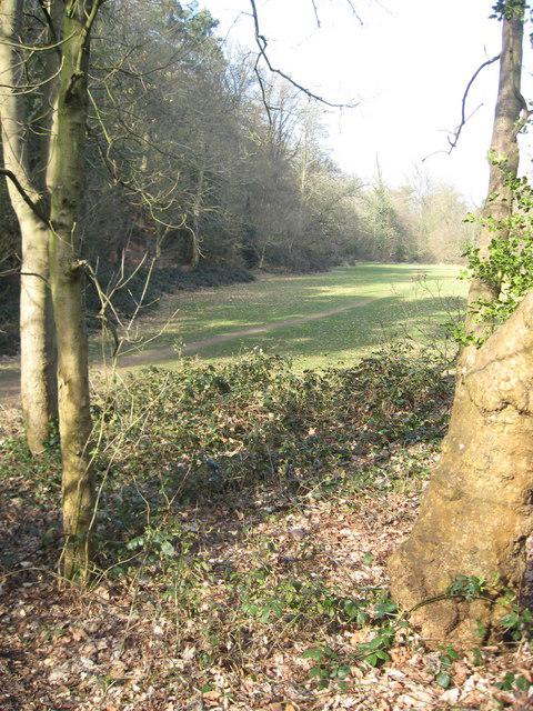 Photo could not load
TQ2749 : Clearing on common
Callum
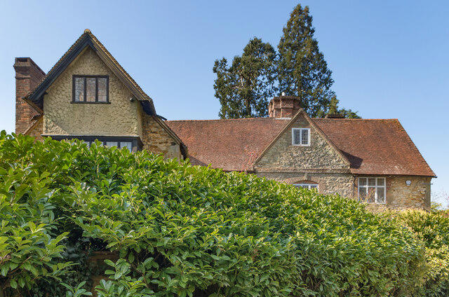 Photo could not load
TQ2749 : The Old House
Ian Capper
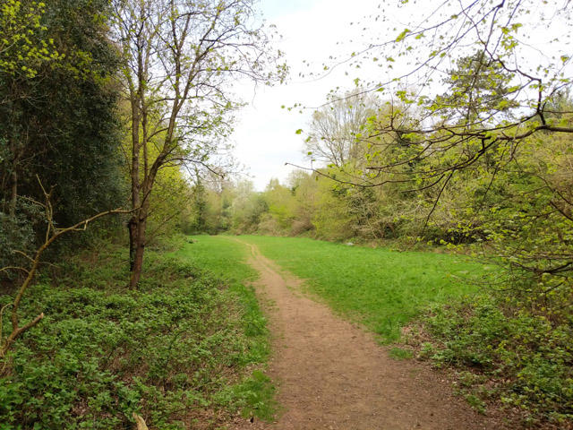 Photo could not load
TQ2749 : Path through open strip, Redhill Common
Robin Webster
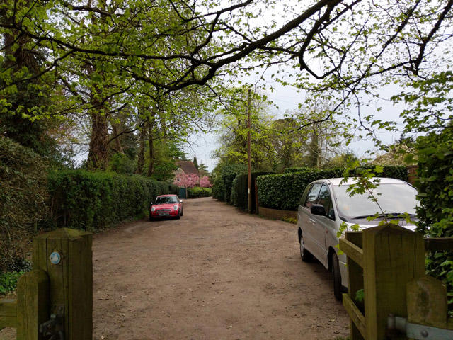 Photo could not load
TQ2749 : High Trees Road, Redhill
Robin Webster
 Photo could not load
TQ2749 : Redhill Common
N Chadwick
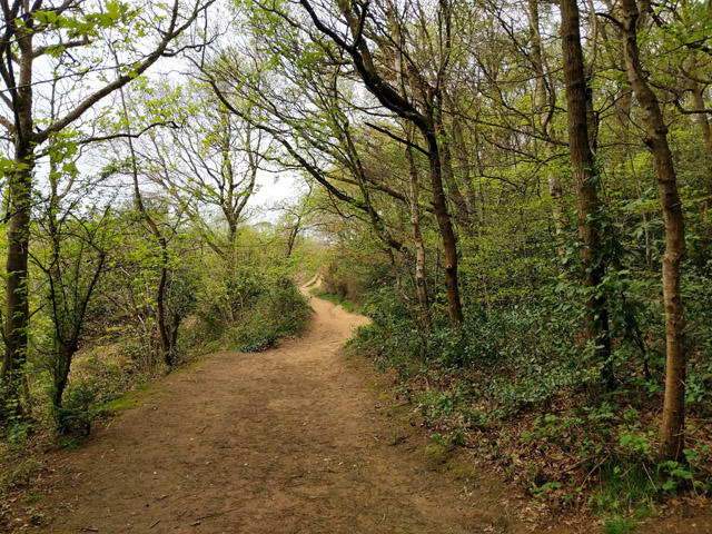 Photo could not load
TQ2749 : Path, Redhill Common
Robin Webster
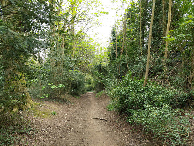 Photo could not load
TQ2749 : Path south down edge of Redhill Common
Robin Webster
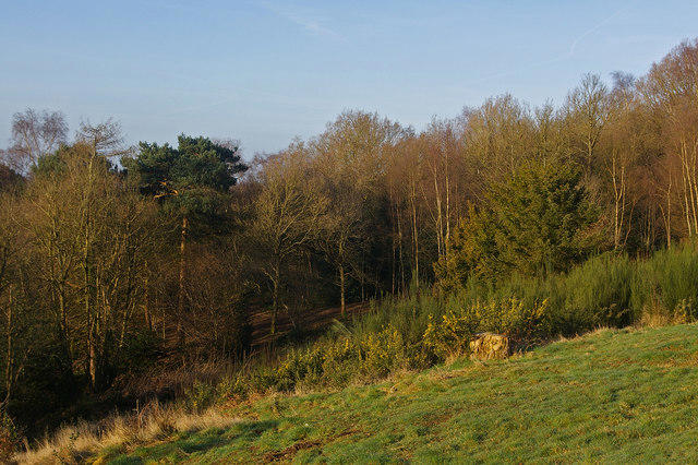
TQ2749 : Redhill Common
Ian Capper
Hill facts and local notes
Classifications
Elevation
144m
472 ft
Prominence
44m
Coordinates
51.2319, -0.1790
TQ272496
OS Map
187
Explorer: 146
At the Summit
A charming little grassy summit with benches for a well-earned rest; there's little more civilised than a picnic atop a common!
Terrain & Geology
Predominantly composed of Weald clay and sandstone, the geology here tells a tale of ancient river systems that once flowed through this charming area.
Views & Scenery
On a clear day, you can spot the South Downs and the distant Surrey Hills.
History & Heritage
Name Origin
The 'Common' refers to the land historically used for communal grazing and recreation.
Historical Significance
An area treasured not just for its scenic beauty, but its cultural history as a gathering point for locals.
Getting There & Facilities
Parking
Parking is available at the nearby Redhill Station with a short walk up to the Common.
Public Transport
Frequent trains from London to Redhill Station, followed by a short bus ride or walk.
Nearby Facilities
Local cafes are within a short drive, and public toilets can be found in the town centre of Redhill.
Safety Information
Known Hazards
- Watch out for emerging wildlife that may cross your path, particularly during early morning hours.
General Safety Tips
- Check weather conditions before setting out
- Carry appropriate clothing and equipment
- Let someone know your planned route
- Take a map, compass, and GPS device
- Carry emergency supplies: food, water, first aid kit, torch
Hills
Some common questions about the hills answered
Are there group walks up Redhill Common?
Many walkers use Walkmates to join or organise walks with others. You can check for group walks around Redhill Common through the maps
Are there other walkers around Redhill Common?
Activity varies by location and time, but Walkmates lets you see whether others have shared walks or shown interest in this area. Find other people through the walking friends search walking friends for Redhill Common search or of course create your own walk for Redhill Common
Can I organise a walk to Redhill Common?
Yes. If there aren’t any walks listed already, you can create a walk and make it available for others to join.
If you're signed up to Walkmates, you can create a walk to Redhill Common.
How do I find a walk up this hill?
There are often multiple ways to walk this hill, depending on experience and route preference. Walkmates helps you explore walks and routes that others have shared.
Can I suggest a new route up Redhill Common?
Yes. You can suggest or create routes to share with others. Walkmates focuses on the social side of walking, so routes are used to help people organise walks and explore areas together, rather than as detailed navigation tools or route libraries.
Other uses really appreciate knowledgeable walkers sharing their routes. Share your favourite route to Redhill Common here
The is an error or something incorrect about this hill. How do I let you know?
We always strive to keep the information on Walkmates as accurate as possible. If you find an error, please let us know through the contact form and we'll aim to correct it as quickly as possible
Community Discussion
Comments
Location
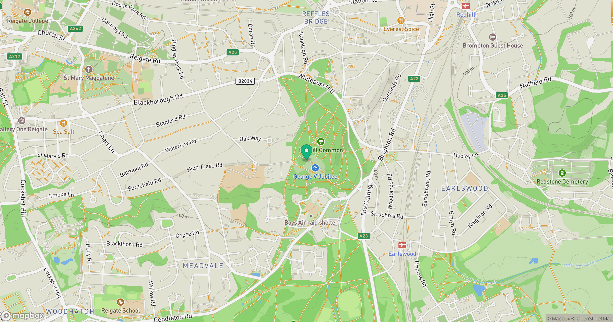
Grid reference: TQ272496
View on OpenStreetMapOpens a map in a new tab, centred on the hill.
Nearby Hills
Leith Hill
294m
Ditchling Beacon
248m
Worcestershire Beacon
425m
Glastonbury Tor
158m
The Roaches
505m
No comments yet. Be the first.