

Puffin Island
Good walks are even better shared.
SH6582 : Puffin Island
Roger Cornfoot Photo source
Overview
Puffin Island
Nestled just off the coast of Anglesey, Puffin Island is a delightful spot for outdoor enthusiasts and wildlife lovers alike. This small but enchanting island, only a stone's throw from Beaumaris, is home to a plethora of seabirds, particularly puffins, during the nesting season.
Geology
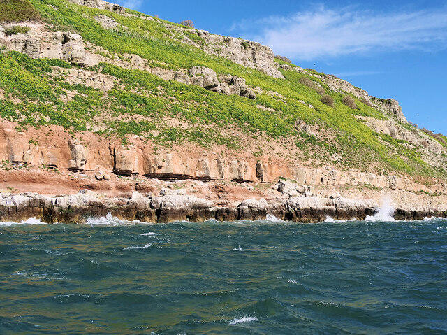
The island is primarily composed of volcanic rock, predominantly basalt. This gives Puffin Island both its rugged terrain and its fascinating geological features. As you explore, you'll notice the unique formations left behind by centuries of erosion and volcanic activity.
Access
Parking
The nearest parking is located at Beaumaris car park, about 2 miles from the ferry terminal. Be sure to check fees, so you don't have to run back to your car like a headless chicken!
Public Transport
If you're not in the mood to drive, fear not! Regular bus services link Beaumaris to neighbouring towns like Bangor and Menai Bridge.
Nearest Town
Beaumaris is a charming seaside town with plenty of history, cafes, and shops to explore before or after your adventure on Puffin Island.
Routes and Trails
While the island itself doesn't have extensive trails, a popular route starts from Beaumaris. The Coastal Trail offers a leisurely walk with splendid views of the Menai Strait, ensuring you'll have your fill of postcard-worthy sights.
Distance
Approximately 5.1 km round trip.
Time
Allow about 1.5 hours at a leisurely pace, perfect for soaking in the sights.
Difficulty
Easy – suitable for families and those who prefer a gentle stroll.
Summit Features
At the summit, you'll find a charming lighthouse, which doubles as a fantastic photo backdrop. Additionally, remnants of historic structures dot the landscape, hinting at the island's rich past.
Terrain
Expect a mix of rocky paths and grassy meadows, with some sandy beach sections – perfect for lounging and daydreaming.
Views
From the summit, the views are nothing short of spectacular. On a clear day, you can gaze upon the majestic Snowdon range, nearby Anglesey, and the shimmering waters that surround the island. The sunsets here are particularly breathtaking, so don't forget your camera!
Hazards
While Puffin Island is a delightful and relatively safe experience for most hikers, do keep an eye on the tides and be cautious of strong coastal winds. Better safe than sorry, right?
Nearby Summits
If you're feeling adventurous, nearby summits like Snowdon and Carnedd Llewelyn offer challenges for seasoned hikers ready to stretch their legs.
Facilities
Beaumaris is well-equipped for visitors, featuring several cafes for a caffeine fix, public toilets, and plenty of historical sites to visit. So, if you fancy treating yourself, you can reward your hike with a slice of cake or a pint of local ale!
Conclusion
All in all, Puffin Island is a delightful escape for nature lovers and hikers alike. Whether you're exploring its rocky shores or simply soaking up the views, this little gem offers a perfect day out without the hassle. Just remember to take plenty of pictures and keep an eye on that sunset!
Explore routes near Puffin Island
Walks starting near this hill. Open a route to check its map, distance and full itinerary.
Llyn Crafnant: Lakeside Circuit from the NRW Car Park
View route
Snowdon Pyg Track returning by Miner's Track
View route
Beddgelert Forest: Derwen Circuit and Llyn Llywelyn
View route
Beddgelert Forest: Llyn Llywelyn Woodland Circuit
View route
Route planning notes
These notes describe possible approaches. Check a route's map and access information when planning your walk.
Coastal Trail from Beaumaris
A scenic route that follows the coastline with stunning views of the Menai Strait, perfect for leisurely walks.
Make a day of it, together
Find someone to share the walk with, or organise a day out along a route you like.
Photo Gallery
View all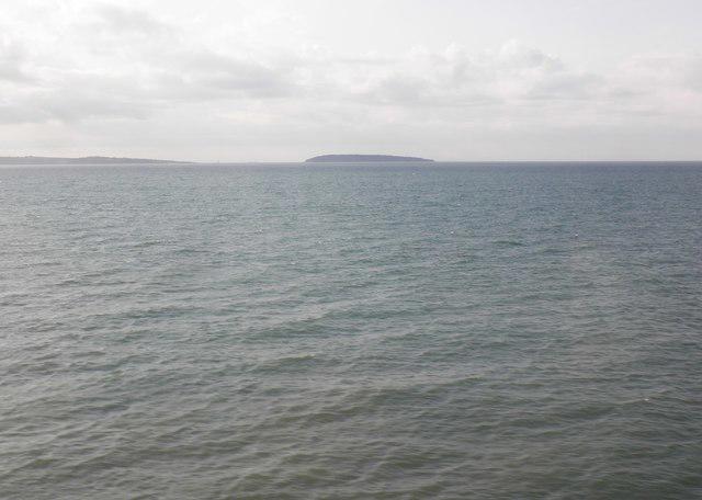 Photo could not load
SH6582 : Puffin Island
Roger Cornfoot
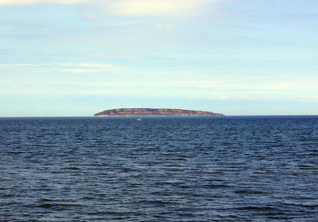 Photo could not load
SH6582 : Puffin Island seen from Llanfairfechan
Jeff Buck
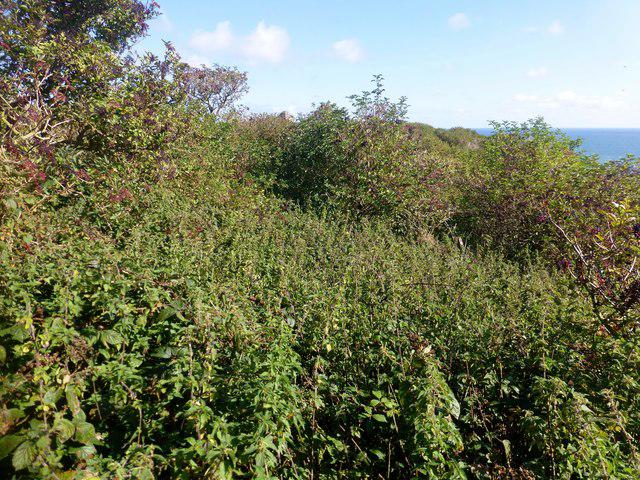 Photo could not load
SH6582 : Vegetated Summit Ridge Of Puffin Island
Rude Health
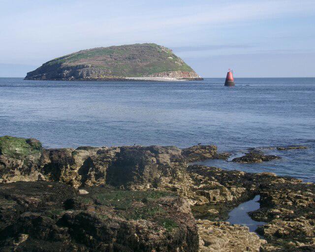 Photo could not load
SH6481 : Ynys Seiriol / Puffin Island
Ceri Thomas
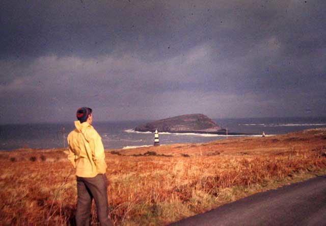 Photo could not load
SH6582 : Puffin Island
Angus McCulloch
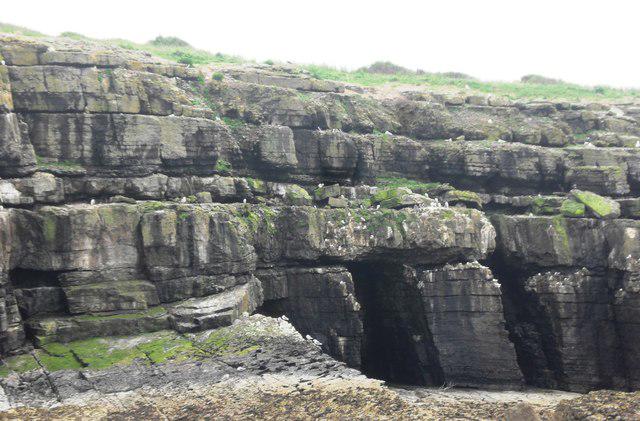 Photo could not load
SH6581 : The Cliffs of Puffin Island
Anthony Parkes
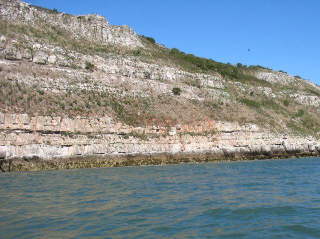 Photo could not load
SH6581 : Puffin Island
David Purchase
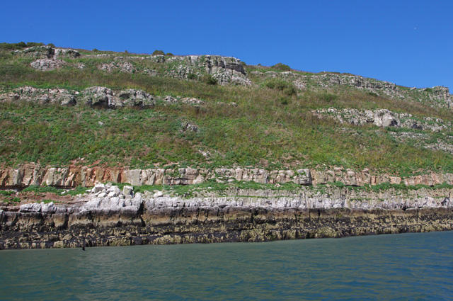 Photo could not load
SH6581 : Puffin Island / Ynys Seiriol
Ian Taylor
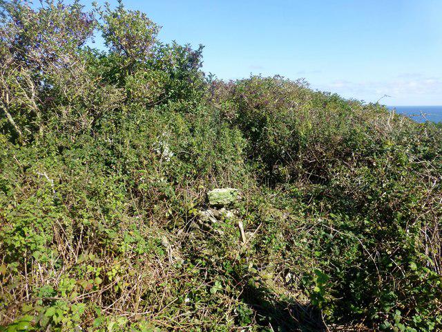 Photo could not load
SH6581 : Puffin Island
Rude Health
SH6581 : Puffin Island
David Dixon
Hill facts and local notes
Classifications
Elevation
58m
192 ft
Prominence
58m
Coordinates
53.3176, -4.0273
SH650819
OS Map
114 115
Explorer: 263N
At the Summit
The summit features a small lighthouse and a few historic ruins, providing a picturesque spot to rest and enjoy the views.
Terrain & Geology
Puffin Island is primarily composed of volcanic rock, specifically basalt, which has solidified over millions of years. The island showcases interesting geological formations due to its volcanic origins.
Views & Scenery
Views of the Snowdon range, Anglesey and the surrounding waters, particularly stunning during sunset.
History & Heritage
Name Origin
The name 'Puffin Island' comes from the large population of puffins that nest on the island, particularly noticeable in the summer months.
Historical Significance
The island has a rich maritime history and was once a significant site for fishing and trade.
Getting There & Facilities
Parking
Beaumaris car park, which is approximately 2 miles from the ferry terminal. Fees apply.
Public Transport
Regular bus services operate from nearby towns like Bangor and Menai Bridge.
Nearby Facilities
There are several cafes and restaurants in Beaumaris, as well as public toilets near the car park.
Safety Information
Known Hazards
- Strong coastal winds and changing tides, so be cautious when exploring rocky areas.
General Safety Tips
- Check weather conditions before setting out
- Carry appropriate clothing and equipment
- Let someone know your planned route
- Take a map, compass, and GPS device
- Carry emergency supplies: food, water, first aid kit, torch
Hills
Some common questions about the hills answered
Are there group walks up Puffin Island?
Many walkers use Walkmates to join or organise walks with others. You can check for group walks around Puffin Island through the maps
Are there other walkers around Puffin Island?
Activity varies by location and time, but Walkmates lets you see whether others have shared walks or shown interest in this area. Find other people through the walking friends search walking friends for Puffin Island search or of course create your own walk for Puffin Island
Can I organise a walk to Puffin Island?
Yes. If there aren’t any walks listed already, you can create a walk and make it available for others to join.
If you're signed up to Walkmates, you can create a walk to Puffin Island.
How do I find a walk up this hill?
There are often multiple ways to walk this hill, depending on experience and route preference. Walkmates helps you explore walks and routes that others have shared.
Can I suggest a new route up Puffin Island?
Yes. You can suggest or create routes to share with others. Walkmates focuses on the social side of walking, so routes are used to help people organise walks and explore areas together, rather than as detailed navigation tools or route libraries.
Other uses really appreciate knowledgeable walkers sharing their routes. Share your favourite route to Puffin Island here
The is an error or something incorrect about this hill. How do I let you know?
We always strive to keep the information on Walkmates as accurate as possible. If you find an error, please let us know through the contact form and we'll aim to correct it as quickly as possible
Community Discussion
Comments
Location
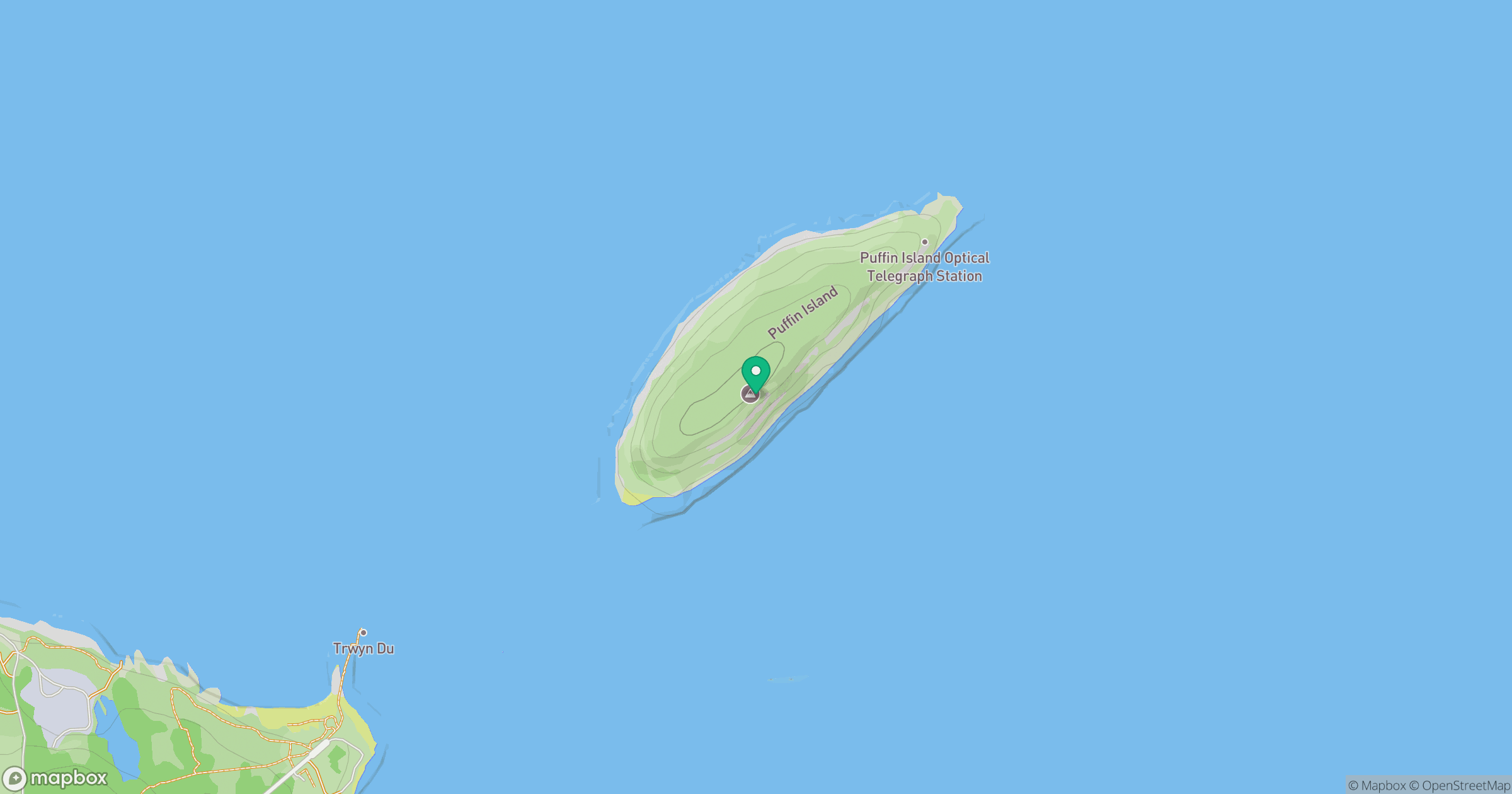
Grid reference: SH650819
View on OpenStreetMapOpens a map in a new tab, centred on the hill.
Nearby Hills
Carnedd Llewelyn
1,062m
Carnedd Dafydd
1,044m
Great Orme [Y Gogarth]
207m
Elidir Fawr
924m
Y Garn
946m
No comments yet. Be the first.