
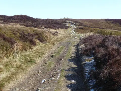
Pinhaw Beacon
Good walks are even better shared.
Overview
Pinhaw Beacon: A Hiker's Paradise
Pinhaw Beacon stands proud at 515 meters above sea level, offering an exhilarating trek and picturesque views. Located in the stunning Yorkshire Dales, this Marilyn is something of a hidden gem among the more famous peaks.
Geology
Composed mainly of limestone from the Carboniferous period, the geology of Pinhaw is notable for its rugged and fascinating terrain. If you’re not careful, you might find yourself pondering the age of the Earth while navigating its rocky paths. Just remember, geology is rock and roll!
Routes
The most popular route is the Pinhaw Beacon Circular Walk, which starts from Cowling. Measuring about 5.0 km, this moderate path provides a pleasurable challenge for most walkers, allowing plenty of opportunities to take in the views without sweating buckets.
Summit Features
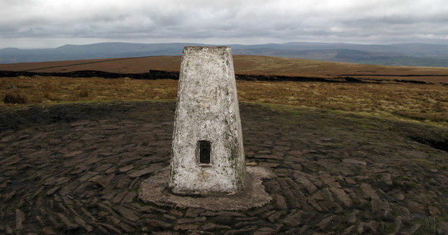
At the top, you'll be greeted by a sturdy trig point, which serves as a wonderful landmark. It's a splendid place for a breather, a quick snack, or capturing that all-important Instagram shot.
Terrain Type
The terrain features lush grassland interspersed with rocky outcrops. Wear sturdy boots, as some areas can get a tad muddy—think of it as a natural foot massage!
Views
The views from Pinhaw Beacon are nothing short of spectacular. With Pendle Hill to the south and the distant peaks of the Lake District, your camera will get a proper workout up here. Best of all, spring and autumn will showcase the landscape in their finest clothes, making every moment unforgettable.
Hazards
Keep your wits about you! The terrain can be uneven, and the weather can change faster than you can say “coffee break,” especially in autumn. Proper footwear and a bit of common sense will go a long way.
Nearby Summits
For those who wish to extend their adventure, nearby summits like Pendle Hill and Boulsworth Hill await your exploration. Each offers similar beautiful vistas and an opportunity for even more hiking.
Access
Getting there is a breeze. The village of Cowling serves as the gateway, offering better parking than your average suburban street. Trains and buses from Keighley and Skipton will drop you nearby. Just remember, you might have to walk back—unless you’ve employed someone to carry you home!
Facilities
While Pinhaw Beacon might lack facilities like toilets and cafes on-site, Cowling is just a short walk away. Stop at a local pub or café to refuel before your adventure.
History
The name ‘Pinhaw’ has an intriguing backstory, likely rooted in the Old English language. Historically, this region has held cultural significance, providing an insight into the lives of those who came before us.
So, lace up your boots and make your way to Pinhaw Beacon. The views will be well worth the climb, and you might just find yourself wanting to come back for more—if you dare!
Explore routes near Pinhaw Beacon
Public walks starting within 80 km of this hill. Nearby does not mean a route reaches the summit; check its map and access before setting out.
Skipton to Gargrave Canal Walk
View route
Silsden to Kildwick Canal Walk
View route
Bolton Abbey: Strid Wood and Barden Bridge Circuit
View route
Malham Landscape Trail: Janet's Foss, Gordale Scar, and Malham Cove
View route
Route planning notes
These notes describe possible approaches, not verified navigable routes or permission to cross land. Check current paths, local access rules and conditions before setting out.
Pinhaw Beacon Circular Walk
A scenic circular route starting from the village of Cowling, taking in stunning views of the surrounding moorland.
Make a day of it, together
Find someone to share the walk with, or organise a day out along a route you like.
Photo Gallery
View all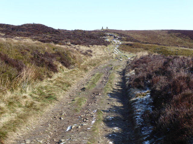 Photo could not load
SD9447 : The Pennine Way near Pinhaw
Dave Kelly
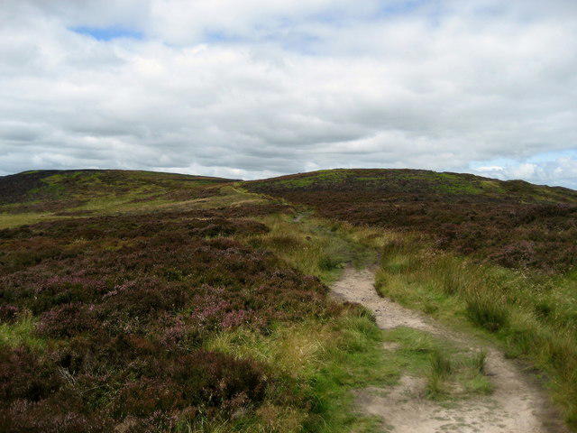 Photo could not load
SD9447 : Pennine Way east of Pinhaw Beacon
Chris Heaton
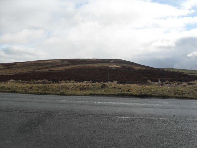 Photo could not load
SD9447 : Pinhaw Beacon from Skipton Old Road
Anthony Parkes
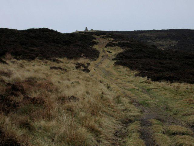 Photo could not load
SD9447 : Pinhaw Beacon
Rude Health
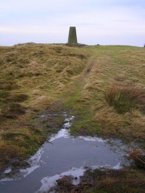 Photo could not load
SD9447 : Pinhaw Beacon, 1273'
John H Darch
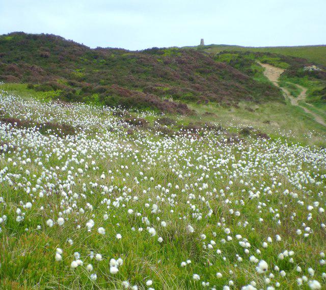 Photo could not load
SD9447 : Cotton Grass on Pinhaw
Gordon Hatton
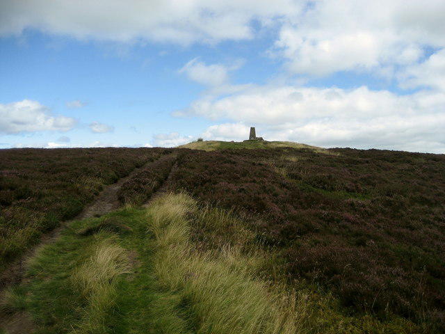 Photo could not load
SD9447 : Trig Point on Pinhaw Beacon.
Chris Heaton
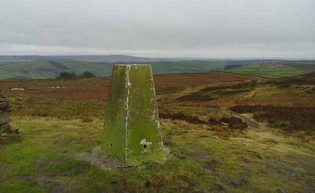 Photo could not load
SD9447 : Trig pillar on Pinhaw beacon.
steven ruffles
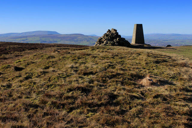 Photo could not load
SD9447 : Pinhaw Beacon (1)
Chris Heaton
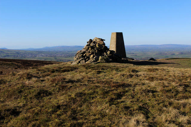
SD9447 : Pinhaw Beacon (2)
Chris Heaton
Hill facts and local notes
Classifications
Elevation
388m
1,273 ft
Prominence
122m
Coordinates
53.9210, -2.0863
SD944472
OS Map
103
Explorer: OL21N
At the Summit
The summit features a large stone trig point which provides a perfect selfie opportunity with the world at your feet.
Terrain & Geology
Pinhaw Beacon is primarily composed of limestone formations that date back to the Carboniferous period. The rugged terrain reflects the geological history of uplift and erosion typical of the region.
Views & Scenery
From the summit, you can see a sweeping panorama of the Yorkshire Dales, including Pendle Hill, and on a clear day, even the peaks of the Lake District might make an appearance.
History & Heritage
Name Origin
The name 'Pinhaw' derives from the Old English 'pin' meaning 'to pin' or 'to attach', perhaps referencing its prominent positioning as a landmark.
Historical Significance
Historically, this area has been significant for its agricultural land and as a site for ancient burials, echoing tales of yore.
Getting There & Facilities
Check current local access restrictions, parking rules and transport timetables before travelling. These notes do not confirm public access to the summit.
Parking
There is ample parking in the village of Cowling (postcode BD22 0BQ). Please be considerate of local residents.
Public Transport
Regular bus services operate from nearby towns like Keighley and Skipton to Cowling.
Nearby Facilities
Although there are no facilities directly on Pinhaw Beacon, the village of Cowling offers a few local pubs and cafes to grab a bite before or after your hike.
Safety Information
Known Hazards
- Uneven terrain and potential muddy patches, particularly after rainfall. Beware of sudden weather changes typical of the region.
General Safety Tips
- Check weather conditions before setting out
- Carry appropriate clothing and equipment
- Let someone know your planned route
- Take a map, compass, and GPS device
- Carry emergency supplies: food, water, first aid kit, torch
Hills
Some common questions about the hills answered
Are there group walks up Pinhaw Beacon?
Many walkers use Walkmates to join or organise walks with others. You can check for group walks around Pinhaw Beacon through the maps
Are there other walkers around Pinhaw Beacon?
Activity varies by location and time, but Walkmates lets you see whether others have shared walks or shown interest in this area. Find other people through the walking friends search walking friends for Pinhaw Beacon search or of course create your own walk for Pinhaw Beacon
Can I organise a walk to Pinhaw Beacon?
Yes. If there aren’t any walks listed already, you can create a walk and make it available for others to join.
If you're signed up to Walkmates, you can create a walk to Pinhaw Beacon.
How do I find a walk up this hill?
There are often multiple ways to walk this hill, depending on experience and route preference. Walkmates helps you explore walks and routes that others have shared.
Can I suggest a new route up Pinhaw Beacon?
Yes. You can suggest or create routes to share with others. Walkmates focuses on the social side of walking, so routes are used to help people organise walks and explore areas together, rather than as detailed navigation tools or route libraries.
Other uses really appreciate knowledgeable walkers sharing their routes. Share your favourite route to Pinhaw Beacon here
The is an error or something incorrect about this hill. How do I let you know?
We always strive to keep the information on Walkmates as accurate as possible. If you find an error, please let us know through the contact form and we'll aim to correct it as quickly as possible
Community Discussion
Comments
Location
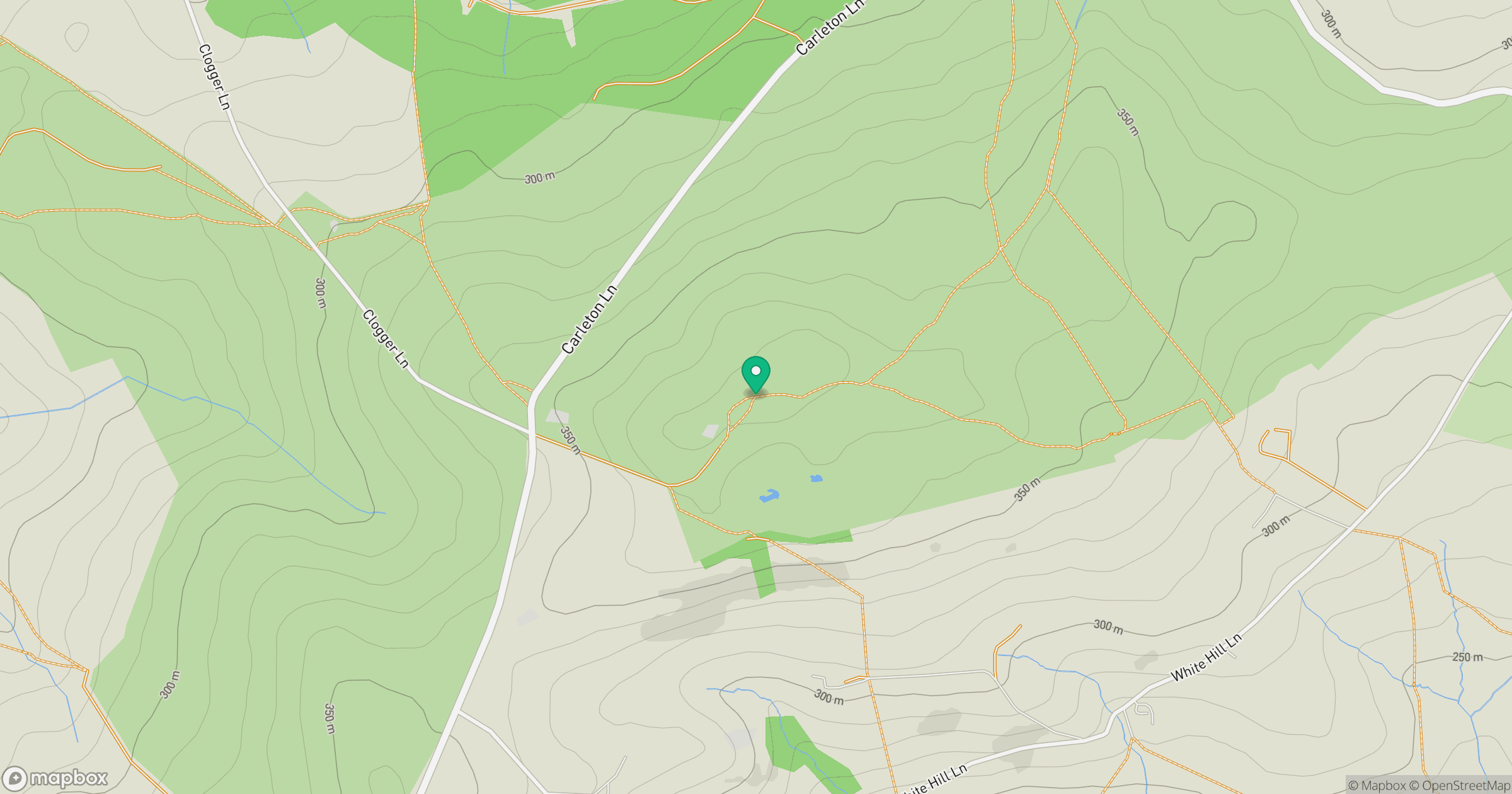
Grid reference: SD944472
View on OpenStreetMapOpens a map in a new tab, centred on the hill.
Hills within 30 km
Straight-line distance, not a walking route or confirmation of access.
Pendle Hill
557m
Rombalds Moor [Ilkley Moor]
402m
Pen-y-ghent
694m
Sharp Haw
357m
Little Wolf Stones
443m
No comments yet. Be the first.