
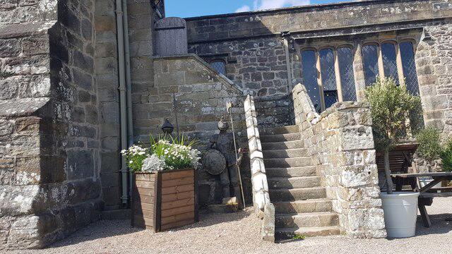
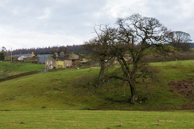
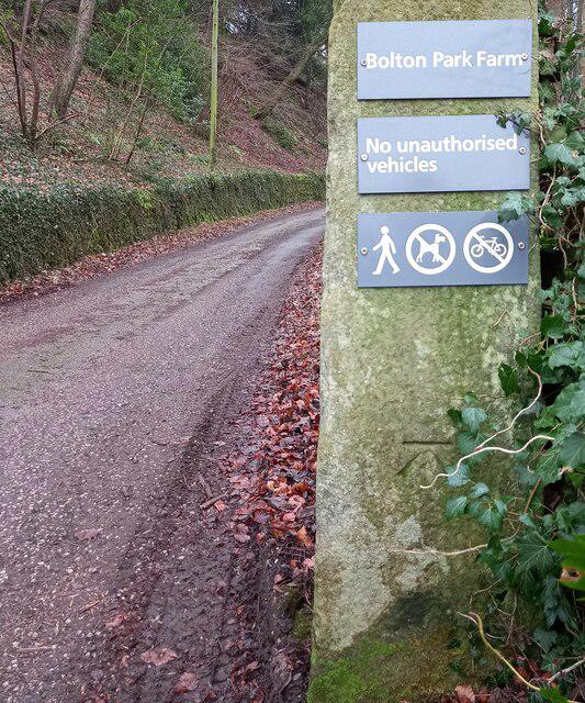
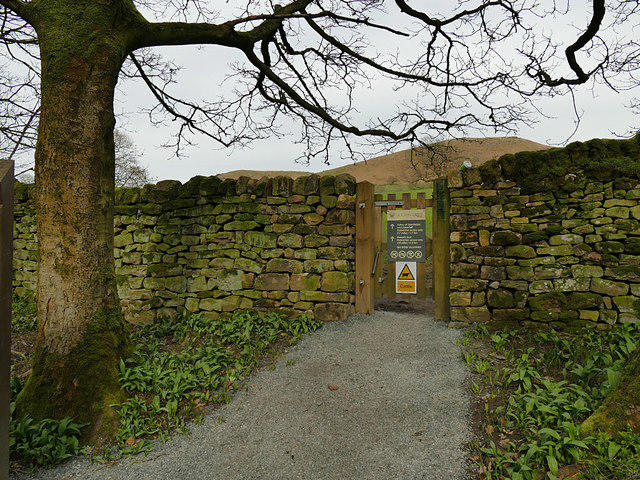
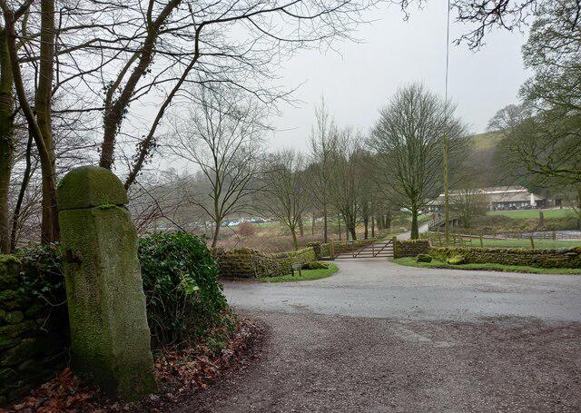
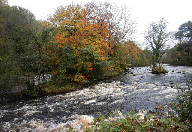
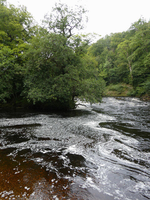
Image shared for Bolton Abbey: Strid Wood and Barden Bridge Circuit
Canal / Riverside Circular

Bolton Abbey: Strid Wood and Barden Bridge Circuit

North Yorkshire

Distance
4.8 mi
Est. time
2h 30m
Difficulty
Medium
PaulWalkmates Route by PaulWalkmates

About this walk

Start at Bolton Abbey's Riverside car park, near Cavendish Pavilion. Follow the estate's Green Trail upstream through Strid Wood, staying on the surfaced woodland path. Beyond the Strid area, take the rising path towards Lady Harriet's Seat and continue towards Barden Bridge. Pass the aqueduct without crossing it. Cross the river at Barden Bridge, then follow the signed Orange Trail downstream on the opposite bank. Use the footbridge beside Posforth Bridge over the beck, and cross the Park Bridge beside Cavendish Pavilion to return to the car park.

Allow about two and a half hours for the full circuit. Woodland paths have inclines, uneven patches and narrower sections; wet leaves and mud can make them slippery. This route uses established paths and bridges rather than stepping stones. Barden Bridge carries traffic and has no pavement, so check both ways and cross carefully. The Strid is a dangerous stretch of water: stay well back from the edge, keep children close and do not leave the path to approach the rocks or water. Keep dogs on leads throughout the woodland.

Riverside parking admits a vehicle and its passengers to the estate. The listed price is £12.50 when booked before the visit date, or £15 on the day. The current estate homepage lists Riverside opening 9am to 5pm, with last entry at 4pm; check your visit date and finish before the car park is locked. Barden Field car park is closed until spring 2027, so use Riverside for this walk. Toilets and refreshments are available around Cavendish Pavilion during their opening hours.

Route information: Bolton Abbey Estate's Cavendish Pavilion to Barden Bridge walking map, current Strid Wood nature-trail map and visitor information.

Walk details

Walk type
Circular
Category
Canal / Riverside
Distance
4.8 mi (7.7 km)
Est. time
2h 30m
Explorer
Yes, off the beaten track

Route map

Use the route details to plan your walk

If the map image does not load, the route description and starting-point details are still on this page.

The interactive map will load when you reach this section.

Where to start

Directions to start

Walking on your own?

Start when you're ready and add the walk to your history. No group date needed.

This walk is waiting for a date

Not ready to pick a date? Follow it and you'll hear when somebody else does.

No commitment. You can follow it now and pick a date later.

Joining a walk

A few things to know before you make plans.

Can I join if no one else is going?

You can be the first to join a scheduled walk. A suggested date is an idea for a group walk; choose Set this date up to organise it. Check the participant list and meeting details before setting off.

What if there is no date yet?

Choose Put a date on this walk to organise a group walk. Not ready to choose a day? Follow the route for scheduling updates, or save it for later.

What does the organiser do?

The organiser sets the date and meeting details and helps the group get started. They are a fellow walker and may be new to the route too.

Each walker is responsible for their own safety and navigation. Check the route, weather, equipment and whether the walk suits your experience and fitness.

Can I walk this route on my own?

Yes. Choose Walk this route on your own to open the start screen, then start when you are ready. Finish the walk to add it to your walking history. You do not need a group date.

What happens after I join?

Use the walk page to check meeting details, updates and who is going. Check in from 24 hours before the start to let the group know you still plan to come.

How do I confirm plans with the group?

Check the participant list and check-ins, and message the organiser or other walkers to confirm where to meet and who is coming. This is especially useful when the group is small.
