
Pen
Good walks are even better shared.
Overview
Pen: A Hidden Gem in the Lake District
Overview
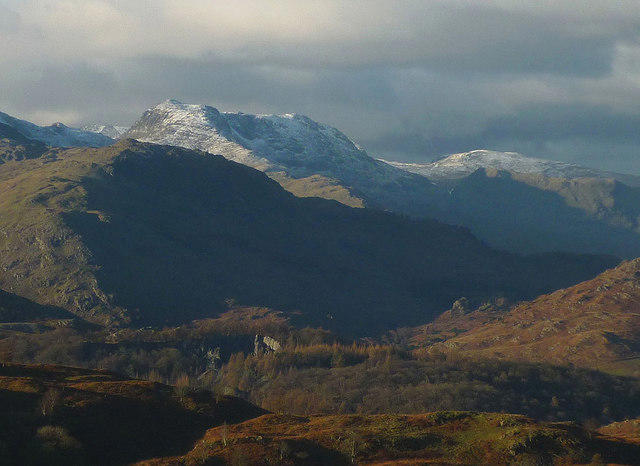
Pen, standing at an elevation of 757 meters, is part of the enchanting Lake District and is a gem amongst the numerous peaks that grace this picturesque region. It is well known among local hikers, yet often remains a less frequented area for those navigating the more popular paths.
Geology
Composed mainly of Skiddaw Slate, Pen's geology offers a unique insight into the volcanic history of this region. The slate-covered slopes may make for a challenging walk, but they also contribute to the stunning views that hikers have come to appreciate.
Routes
Pen via Loweswater
This moderate route starts from the quaint village of Loweswater. Expect a delightful stroll through lush fields and woodlands, with convenient signs guiding you along the way. The ascent becomes steeper nearer the summit, but the views are well worth it!
Pen from Magpie Mine
For those with a bit more adventure in their heart, this challenging route starts at the historical Magpie Mine. Along the way, enjoy the mix of nature and history before reaching the summit. It’s a great way to get your steps in while soaking up some local history!
Summit Features
As you reach the top of Pen, you’ll be greeted by a traditional stone cairn. This makes for an excellent backdrop for that perfect Instagram shot or just a moment to catch your breath while taking in the breathtaking surroundings.
Terrain
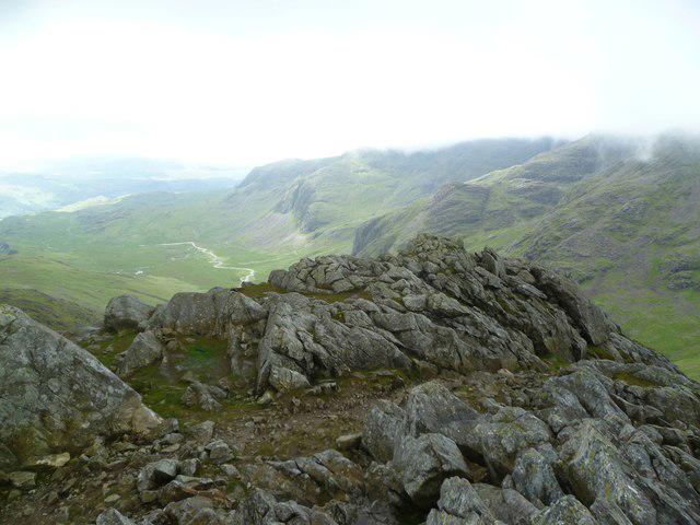
Expect a delightful mix of grassy patches and rocky sections interspersed along the paths. While some areas are well maintained, others might give your ankles a bit of a workout!
Views
From the summit, the views of Buttermere and Crummock Water are simply stunning. You can almost hear the fells calling your name as you sit back and admire the landscape. The best time for views is late spring and early autumn when the skies are generally clear.
Hazards
Be mindful of loose rocks, especially after a rain shower when paths can get a bit slippery! Always feel free to check the weather forecast pre-hike to avoid any surprises.
Nearby Summits
Just a stone's throw away, you can explore the neighbouring fells of Grasmore and Starling Dodd, both offering their unique charm and views.
Access
Parking is available near Loweswater, though it gets busy during peak times, so arrive early! If you prefer public transport, a bus service runs to the village, though expect a bit of a stroll once you disembark.
Facilities
Pack a picnic and a proper cuppa, as facilities are limited. The quaint cafes in Loweswater are ideal for a wee break before or after your trek.
History
The name 'Pen' harks back to Old Welsh, meaning 'head', fitting for such a prominent peak. Besides its natural beauty, the mountain is intertwined with the history of mining in the region.
In summary, Pen offers a delightful mixture of natural beauty, rich history, and a dash of challenge for those willing to seek it out. Just don’t forget your camera!
Happy hiking!
Explore routes near Pen
Walks starting near this hill. Open a route to check its map, distance and full itinerary.
Scafell Pike via Brown Tongue and Hollow Stones
View route
Scafell Pike from Seathwaite via the Corridor Route
View route
Bow Fell from Langdale
View route
Great Carrs Halifax Wreckage from Wrynose Pass
View route
Route planning notes
These notes describe possible approaches. Check a route's map and access information when planning your walk.
Pen via Loweswater
A scenic route starting from the village of Loweswater, winding up through lush pastures and woodland before culminating in a rewarding ascent to the summit.
Pen from Magpie Mine
An alternative approach which offers a blend of historical sites and stunning vistas, making it ideal for those keen to explore both nature and heritage.
Make a day of it, together
Find someone to share the walk with, or organise a day out along a route you like.
Hill facts and local notes
Classifications
Elevation
762m
2,500 ft
Prominence
10m
Coordinates
54.4502, -3.2021
NY221067
OS Map
89 90
Explorer: OL6N
At the Summit
At the summit, hikers will find a traditional stone cairn and a stunning panoramic view over the surrounding fells and valleys, perfect for a well-deserved selfie.
Terrain & Geology
Primarily composed of Skiddaw Slate, the predominant geological material in the area, which is noted for its durability and unique slatey texture. The mountain's formation is a result of ancient volcanic activity, giving it a rugged charm.
Views & Scenery
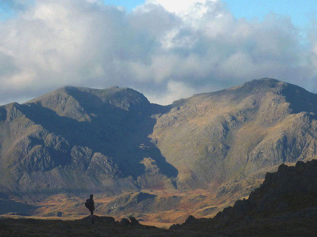
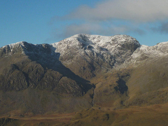
From the summit, views of Buttermere and Crummock Water dominate, along with a stunning panorama of the surrounding Lake District mountains, including Scafell Pike in the distance.
History & Heritage
Name Origin
The name 'Pen' is derived from the Old Welsh word for 'head' or 'top', reflecting its position as a prominent peak in the area.
Historical Significance
Pen is often overlooked by less seasoned hikers, but it has historical ties to the Lake District's mining past and offers a glimpse into the area's rich cultural heritage.
Getting There & Facilities
Parking
There is a small car park just outside Loweswater village, which is often busy on weekends. It's not the Ritz, but you'll find plenty of room for your trusty steed (or car, however you prefer to roll).
Public Transport
Bus services run to Loweswater from Cockermouth, though a brisk walk from the nearest stop might add a few extra steps to your adventure.
Nearby Facilities
Cafes can be found in Loweswater; however, facilities can be limited, so it's wise to bring your own packed lunch and a trusty flask of tea.
Safety Information
Known Hazards
- Loose rock on some paths, particularly after rainfall. Be wary of sudden changes in weather, and remember that visibility can drop quickly.
General Safety Tips
- Check weather conditions before setting out
- Carry appropriate clothing and equipment
- Let someone know your planned route
- Take a map, compass, and GPS device
- Carry emergency supplies: food, water, first aid kit, torch
Hills
Some common questions about the hills answered
Are there group walks up Pen?
Many walkers use Walkmates to join or organise walks with others. You can check for group walks around Pen through the maps
Are there other walkers around Pen?
Activity varies by location and time, but Walkmates lets you see whether others have shared walks or shown interest in this area. Find other people through the walking friends search walking friends for Pen search or of course create your own walk for Pen
Can I organise a walk to Pen?
Yes. If there aren’t any walks listed already, you can create a walk and make it available for others to join.
If you're signed up to Walkmates, you can create a walk to Pen.
How do I find a walk up this hill?
There are often multiple ways to walk this hill, depending on experience and route preference. Walkmates helps you explore walks and routes that others have shared.
Can I suggest a new route up Pen?
Yes. You can suggest or create routes to share with others. Walkmates focuses on the social side of walking, so routes are used to help people organise walks and explore areas together, rather than as detailed navigation tools or route libraries.
Other uses really appreciate knowledgeable walkers sharing their routes. Share your favourite route to Pen here
The is an error or something incorrect about this hill. How do I let you know?
We always strive to keep the information on Walkmates as accurate as possible. If you find an error, please let us know through the contact form and we'll aim to correct it as quickly as possible
Community Discussion
Comments
Location
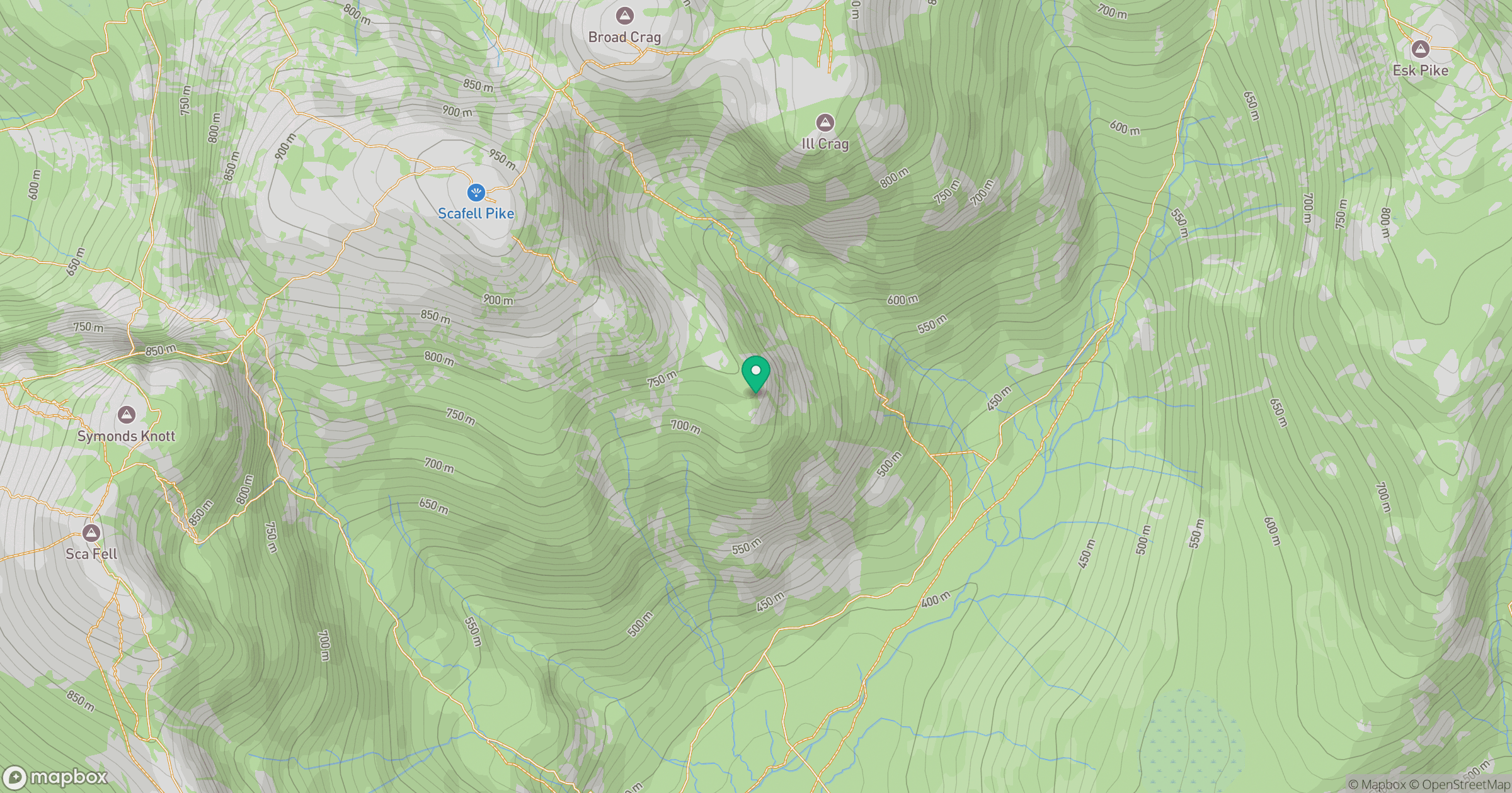
Grid reference: NY221067
View on OpenStreetMapOpens a map in a new tab, centred on the hill.

No comments yet. Be the first.