

Parc Coetir Bargoed
Good walks are even better shared.
ST1599 : South side of William Street, Aberbargoed
Jaggery Photo source
Overview
Parc Coetir Bargoed
Parc Coetir Bargoed is a delightful green space nestled in the heart of South Wales. Ideal for families, casual walkers, and anyone who fancies stretching their legs amidst some splendid scenery, this park offers an escape into nature without requiring you to scale any daunting peaks (unless you fancy the Ridge Walk!).
Geology
The geology of Parc Coetir Bargoed is fascinating with its coal measures born from the Carboniferous period. The layers of sedimentary rock tell the story of a time when this area was covered by warm, shallow seas.
Routes
There are various routes available in the park:
- Bargoed Journey: A pleasant 4.5 km stroll around the park. It’s great for families or those just wanting a gentle saunter.
- Ridge Walk: This 6.5 km loop provides a moderate challenge. It takes you along the ridges, where the views are simply stunning—don’t forget your camera!
Summit Features
While not a traditional summit, the park has a well-constructed viewing platform that offers captivating views of the surrounding valleys, letting you feel on top of the world—at least until the next hill comes along.
Terrain Type
The park features grassy paths that are generally well-maintained. Some rocky sections might surprise you, so keep your eyes peeled!
Views
When the day is bright, the park showcases brilliant views of the Brecon Beacons, complemented by the lush Welsh valleys. Spring and Autumn are great seasons for a visit, with blooming flowers and the vibrant foliage painting the landscape like an impressionist masterpiece.
Hazards
While the park is accessible, do watch out for slippery paths, especially after rains; it’s a bit like trying to dance on ice!
Nearby Summits
Feeling adventurous? Nearby summits include:
- Twyn-y-Garn (elevation 463 meters)
- Mynydd Eglwysilan (elevation 503 meters)
Access
Access to Parc Coetir Bargoed is straightforward:
- Nearest parking: Located at the main entrance, there’s plenty of room.
- Public transport: The closest railway station is Bargoed, about 2 km away, offering regular services from Cardiff.
- Nearest town: Bargoed itself, perfect for a pint or a bite post-walk.
Facilities
The park offers public toilets at the car park for a quick refresh, and there's a lovely café nearby for those essential cups of tea and slices of cake.
History
The name 'Coetir' is Welsh for 'forest', perfectly capturing the essence of the park. Historically, this area had strong ties to coal mining, and one can almost hear the echoes of the industrious past as you walk through its scenic paths.
In conclusion, Parc Coetir Bargoed may not boast towering elevations, but it offers a splendid slice of the great outdoors, leaving you rejuvenated and raring to tackle life's next challenge—or at least get back to the café!
Explore routes near Parc Coetir Bargoed
Walks starting near this hill. Open a route to check its map, distance and full itinerary.
Merthyr Tydfil with Men Walking & Talking
View route
Aberdare Walk with Men Walking & Talking
View route
Newport Fourteen Locks to Risca: Monmouthshire Canal Return
View route
Goytre Wharf to Pentre Bridge: Mon and Brec Canal Walk
View route
Route planning notes
These notes describe possible approaches. Check a route's map and access information when planning your walk.
Bargoed Journey
A scenic walk around the park, perfect for families and casual walkers.
Ridge Walk
A more challenging loop that takes you along the ridge with stunning views.
Make a day of it, together
Find someone to share the walk with, or organise a day out along a route you like.
Photo Gallery
View all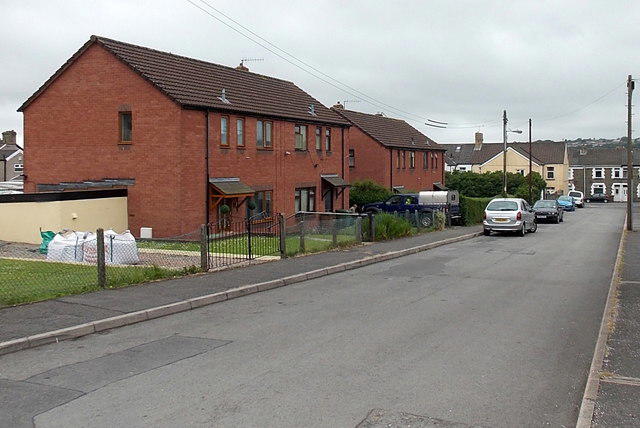 Photo could not load
ST1599 : South side of William Street, Aberbargoed
Jaggery
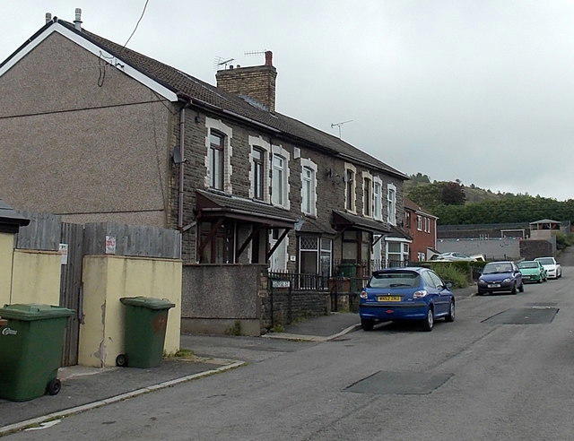 Photo could not load
ST1599 : George Street houses, Aberbargoed
Jaggery
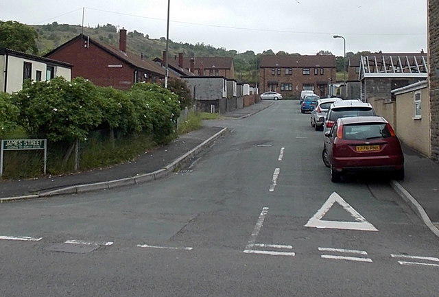 Photo could not load
ST1599 : James Street, Aberbargoed
Jaggery
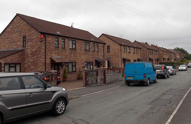 Photo could not load
ST1599 : Ty Fry Road houses, Aberbargoed
Jaggery
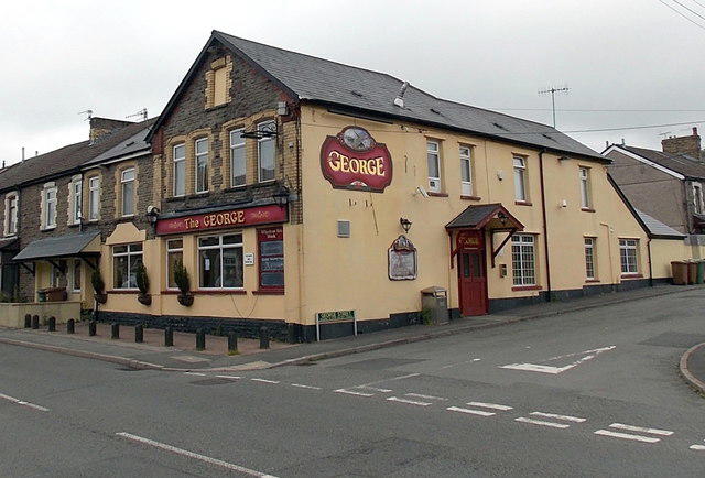 Photo could not load
ST1599 : The George, Aberbargoed
Jaggery
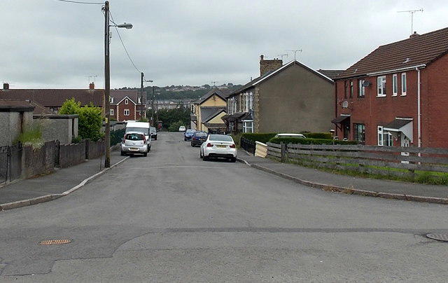 Photo could not load
ST1599 : George Street, Aberbargoed
Jaggery
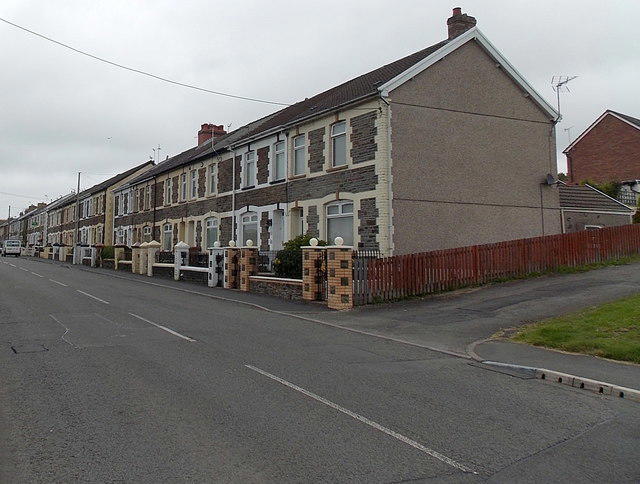 Photo could not load
ST1599 : Pengam Road houses, Aberbargoed
Jaggery
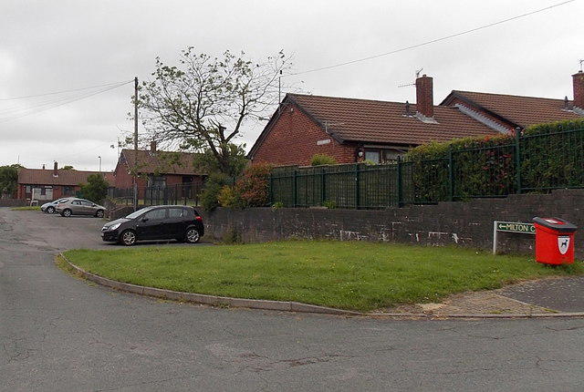 Photo could not load
ST1599 : Milton Close bungalows, Aberbargoed
Jaggery
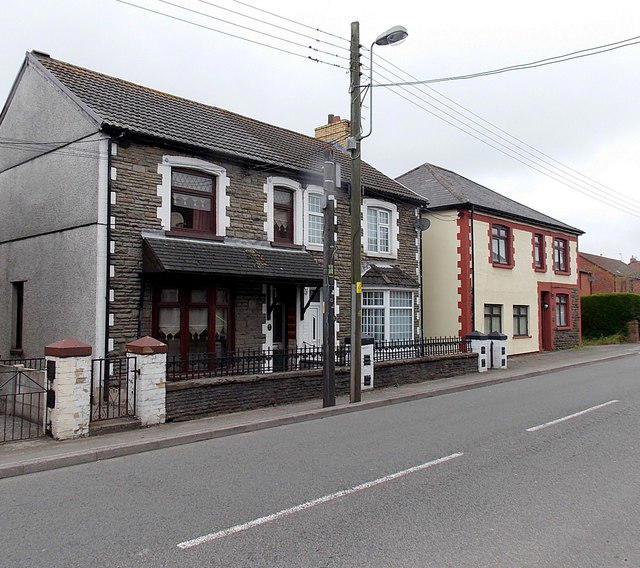 Photo could not load
ST1599 : Houses at the northern end of Pengam Road Aberbargoed
Jaggery
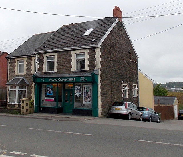 Photo could not load
ST1599 : Headquarters unisex hair salon, Aberbargoed
Jaggery
Hill facts and local notes
Classifications
Elevation
216m
709 ft
Prominence
0m
Coordinates
51.6870, -3.2209
ST157994
OS Map
171
Explorer: 166E
At the Summit
The park features a well-maintained viewing platform that offers panoramic views of the surrounding valleys.
Terrain & Geology
The area is primarily composed of coal measures typical of the South Wales Valleys, with sedimentary rocks formed during the Carboniferous period
Views & Scenery
On a clear day, the Brecon Beacons can be seen, alongside the picturesque valleys.
History & Heritage
Name Origin
The name 'Coetir' means 'forest' in Welsh, highlighting the area's natural beauty.
Historical Significance
Historically, the area was part of a coal mining community, reflecting the industrial heritage of South Wales.
Getting There & Facilities
Parking
The car park is located at the main entrance of Parc Coetir Bargoed, with ample spaces available.
Public Transport
Bargoed railway station is approximately 2 km away, with regular services from Cardiff.
Nearby Facilities
There are public toilets available at the car park, and a café nearby that serves hot drinks and snacks.
Safety Information
Known Hazards
- Occasional slippery paths, especially after rain; watch your step!
General Safety Tips
- Check weather conditions before setting out
- Carry appropriate clothing and equipment
- Let someone know your planned route
- Take a map, compass, and GPS device
- Carry emergency supplies: food, water, first aid kit, torch
Hills
Some common questions about the hills answered
Are there group walks up Parc Coetir Bargoed?
Many walkers use Walkmates to join or organise walks with others. You can check for group walks around Parc Coetir Bargoed through the maps
Are there other walkers around Parc Coetir Bargoed?
Activity varies by location and time, but Walkmates lets you see whether others have shared walks or shown interest in this area. Find other people through the walking friends search walking friends for Parc Coetir Bargoed search or of course create your own walk for Parc Coetir Bargoed
Can I organise a walk to Parc Coetir Bargoed?
Yes. If there aren’t any walks listed already, you can create a walk and make it available for others to join.
If you're signed up to Walkmates, you can create a walk to Parc Coetir Bargoed.
How do I find a walk up this hill?
There are often multiple ways to walk this hill, depending on experience and route preference. Walkmates helps you explore walks and routes that others have shared.
Can I suggest a new route up Parc Coetir Bargoed?
Yes. You can suggest or create routes to share with others. Walkmates focuses on the social side of walking, so routes are used to help people organise walks and explore areas together, rather than as detailed navigation tools or route libraries.
Other uses really appreciate knowledgeable walkers sharing their routes. Share your favourite route to Parc Coetir Bargoed here
The is an error or something incorrect about this hill. How do I let you know?
We always strive to keep the information on Walkmates as accurate as possible. If you find an error, please let us know through the contact form and we'll aim to correct it as quickly as possible
Community Discussion
Comments
Location
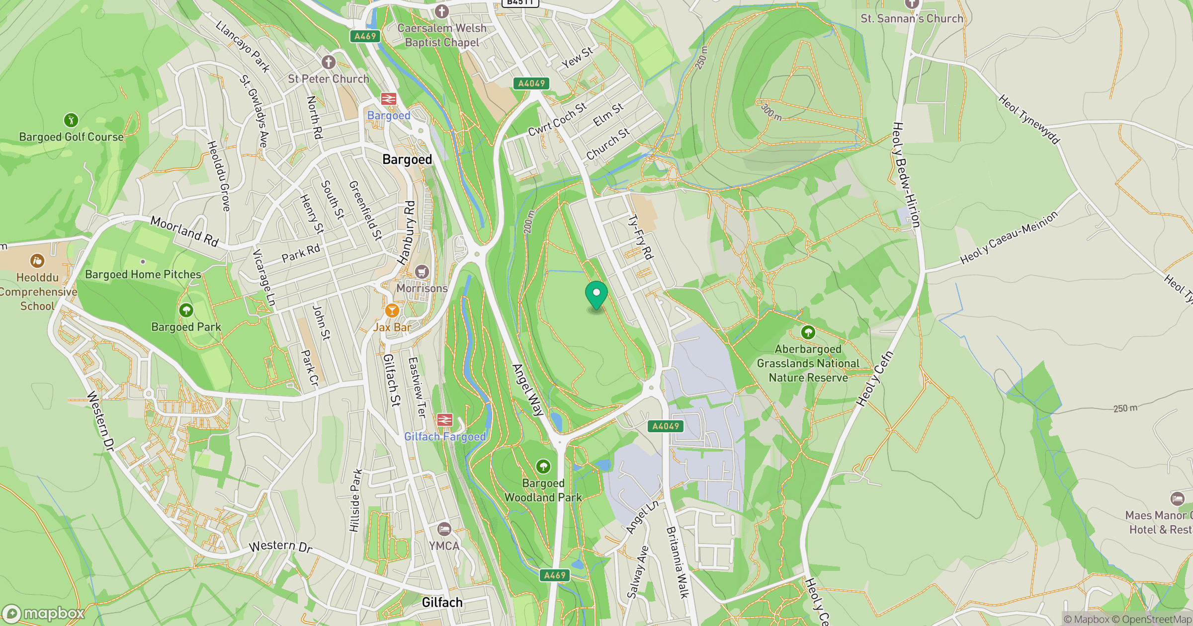
Grid reference: ST157994
View on OpenStreetMapOpens a map in a new tab, centred on the hill.


No comments yet. Be the first.