
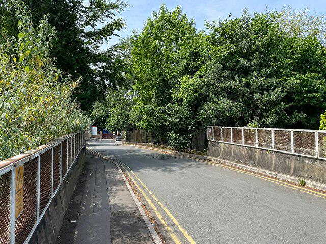
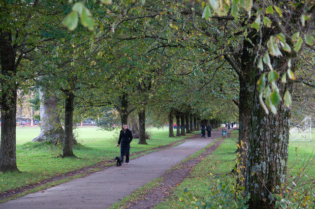
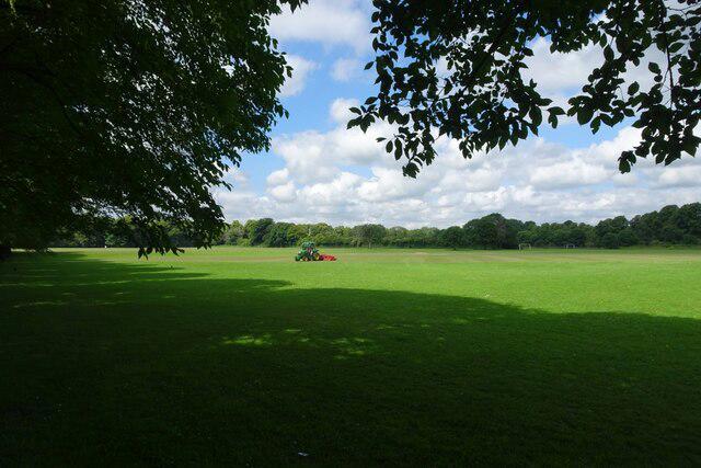
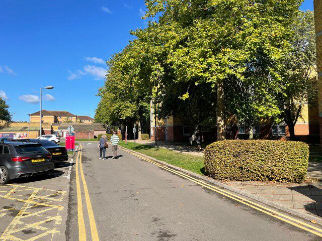
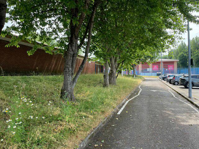
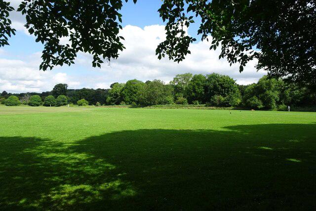
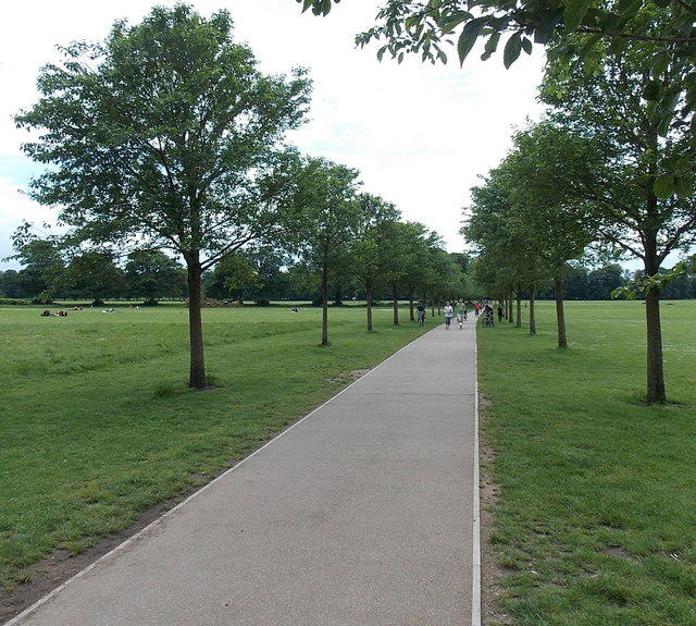
Image shared for Cardiff: Hailey Park to Blackweir Bridge on the Taff Trail
Canal / Riverside Out & back

Cardiff: Hailey Park to Blackweir Bridge on the Taff Trail

South Glamorgan

Distance
4.3 mi
Est. time
2h 15m
Difficulty
Easy
PaulWalkmates Route by PaulWalkmates

About this walk

Start at Hailey Park’s public car park off Radyr Road in Llandaff North. Take the surfaced park path to the River Taff, then turn left onto the signed Taff Trail towards Cardiff. This return walk follows the river through the southern end of Hailey Park and beneath Llandaff Bridge, with views across the water towards Llandaff’s riverside meadows.

Stay on the main riverside trail as it bends past the Millennium Milepost and continues beneath Western Avenue. Use the path under the A48, rather than the steps up to the road bridge. Beyond Gabalfa Woods, follow the river’s broad bend to Blackweir Bridge. Cross the pedestrian bridge for the view of Blackweir and the edge of Pontcanna Fields, then turn back and retrace the same trail to Hailey Park and the car park.

Allow about 2 hours 15 minutes for roughly 7 km, including a brief pause at the weir. The route is mostly level and surfaced, with slopes through the underpasses. It is a shared walking and cycling route, so keep dogs close and leave room for passing cycles. Do not approach the weir or enter the river. Riversides and underpasses can flood or become slippery after heavy rain; follow any local closure signs.

Hailey Park has no public toilets. Check the car park signs on arrival and take water. Plan the walk in daylight and observe any park gate or event restrictions around Blackweir.

Route and access information checked against Cardiff Council’s walking and cycling map and Outdoor Cardiff’s Taff Trail and Hailey Park pages, October 2026. See outdoorcardiff.com/parks/hailey-park/ and cardiff.gov.uk/cycling for visitor information.

Walk details

Walk type
Out & back
Category
Canal / Riverside
Distance
4.3 mi (6.9 km)
Est. time
2h 15m
Explorer
Yes, off the beaten track

Route map

Use the route details to plan your walk

If the map image does not load, the route description and starting-point details are still on this page.

The interactive map will load when you reach this section.

Where to start

Directions to start

Walking on your own?

Start when you're ready and add the walk to your history. No group date needed.

This walk is waiting for a date

Not ready to pick a date? Follow it and you'll hear when somebody else does.

No commitment. You can follow it now and pick a date later.

Joining a walk

A few things to know before you make plans.

Can I join if no one else is going?

You can be the first to join a scheduled walk. A suggested date is an idea for a group walk; choose Set this date up to organise it. Check the participant list and meeting details before setting off.

What if there is no date yet?

Choose Put a date on this walk to organise a group walk. Not ready to choose a day? Follow the route for scheduling updates, or save it for later.

What does the organiser do?

The organiser sets the date and meeting details and helps the group get started. They are a fellow walker and may be new to the route too.

Each walker is responsible for their own safety and navigation. Check the route, weather, equipment and whether the walk suits your experience and fitness.

Can I walk this route on my own?

Yes. Choose Walk this route on your own to open the start screen, then start when you are ready. Finish the walk to add it to your walking history. You do not need a group date.

What happens after I join?

Use the walk page to check meeting details, updates and who is going. Check in from 24 hours before the start to let the group know you still plan to come.

How do I confirm plans with the group?

Check the participant list and check-ins, and message the organiser or other walkers to confirm where to meet and who is coming. This is especially useful when the group is small.
