

Mungrisdale Common
Good walks are even better shared.
NY3129 : Boggy path on Mungrisdale Common
Steven Brown Photo source
Overview
Mungrisdale Common
Introduction
Mungrisdale Common offers a delightful escape into the Lake District's rugged beauty. Standing at 600 meters, this Marilyn provides hikers with a manageable challenge while rewarding them with breathtaking vistas, particularly over the valleys of the North Lakes.
Geology
The geology of Mungrisdale Common is mainly dominated by Skiddaw Slate, a schistose rock that tells tales of ancient geological activity. The area is characterised by glacial features which shape the landscape, creating a unique terrain that supports a variety of flora from heather to grasslands. Ensure to look closely; you might even spot some fascinating fauna along the way!
Routes
One popular route commences from the idyllic village of Mungrisdale. It is about a 7 km round trip, taking roughly three hours if you stop to take in the scenery (and who wouldn't?). The path is relatively straightforward but does require a moderate level of fitness. Don your hiking boots – this is not the time to test those fancy new sandals!
Summit Features
Upon reaching the summit, you will find a modest stone cairn and a trig point, both excellent for snapping that triumphant selfie to show off to your friends. The views of the surrounding peaks, especially Blencathra, are not to be missed.
Terrain Type
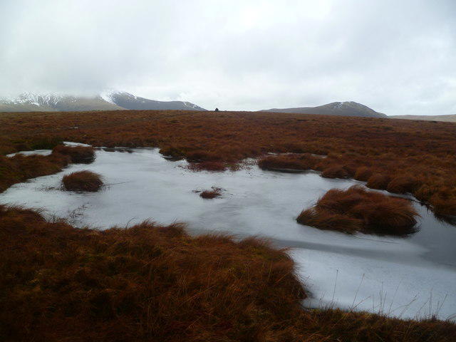
Expect a pleasant mix of grassy slopes with intermittent rocky outcroppings. Be mindful: after a good rainfall, areas may become boggy, so negotiate those puddles with care like a ninja to avoid slipping!
Views
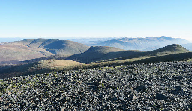
The summit offers panoramic views, showcasing the illustrious North Lakes landscape. On clear days, you can look over to the impressive Helvellyn range, and spot the peaks that have long captured the hearts of hikers and mountaineers alike. Early morning or late afternoon in spring and summer is the best time for photography enthusiasts!
Hazards
Weather changes can be sudden and tricky, especially in the colder months. Always come prepared, and remember – you're in the great outdoors, so expect the unexpected! And mind those boggy areas; they may seem inviting but can be quite deceptive.
Access
Approximately 5 miles from Keswick, Mungrisdale is well within reach. Parking is somewhat limited in the village, so arrive early to secure a spot. Alternatively, public transport from Keswick caters to hikers looking to commute without the hassle of driving.
Nearby Summits
Adjacent to Mungrisdale Common are several notable peaks, including Blencathra and Great Calva, both inviting for those looking to extend their hiking adventures.
Conclusion
Whether you’re a seasoned hiker or a novice, Mungrisdale Common is a gem within the Lake District that promises both challenge and beauty. Bring your sense of adventure and enjoy this splendid corner of the UK!
Last Updated: 2023-10-15
Explore routes near Mungrisdale Common
Walks starting near this hill. Open a route to check its map, distance and full itinerary.
Mungrisdale Common and Bowscale Fell from Mosedale Valley Wainwright
View route
Bannerdale Crags from Mungrisdale Wainwright
View route
Brae Fell from Longlands Wainwright
View route
Binsey from Binsey Lodge Direct Out and Back Wainwright
View route
Route planning notes
These notes describe possible approaches. Check a route's map and access information when planning your walk.
Mungrisdale Village to the Summit
A rewarding ascent starting from the quaint village of Mungrisdale, gradually increasing in elevation with gentle slopes and panoramic views.
Make a day of it, together
Find someone to share the walk with, or organise a day out along a route you like.
Photo Gallery
View all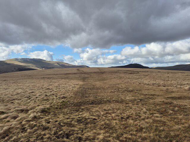 Photo could not load
NY3129 : Boggy path on Mungrisdale Common
Steven Brown
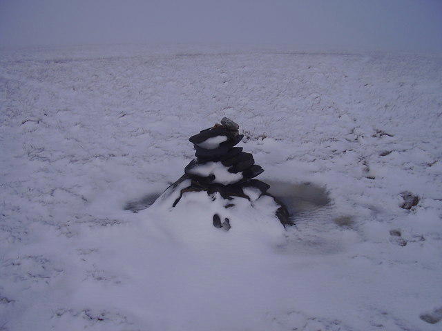 Photo could not load
NY3129 : Mungrisedale common summit cairn.
steven ruffles
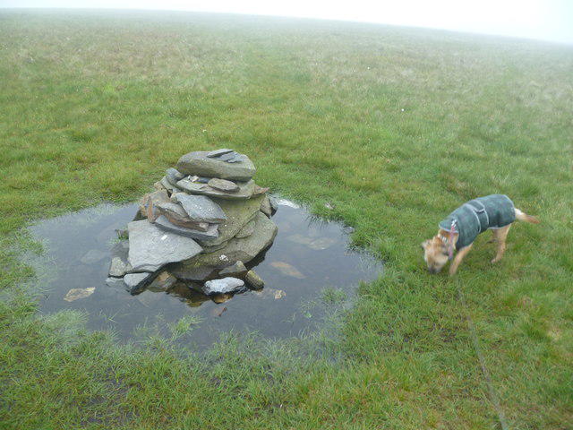 Photo could not load
NY3129 : Cairn on Mungrisdale Common
Michael Graham
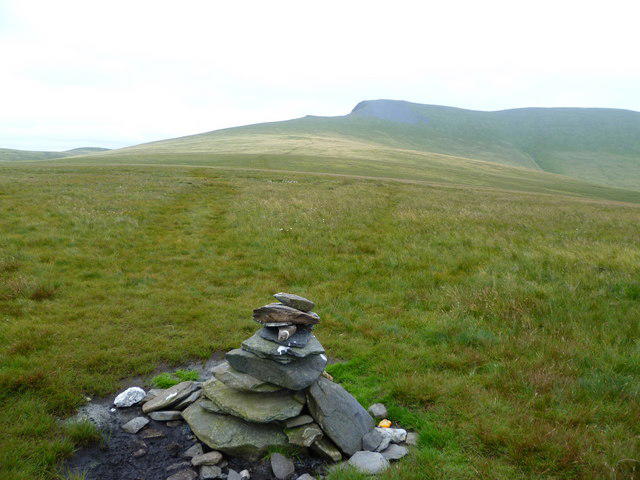 Photo could not load
NY3129 : Summit Cairn, Mungrisdale Common
Michael Graham
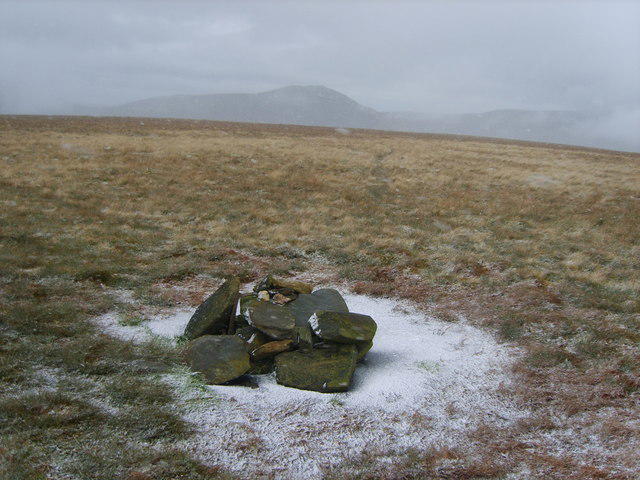 Photo could not load
NY3129 : Summit Cairn, Mungrisdale Common
Michael Graham
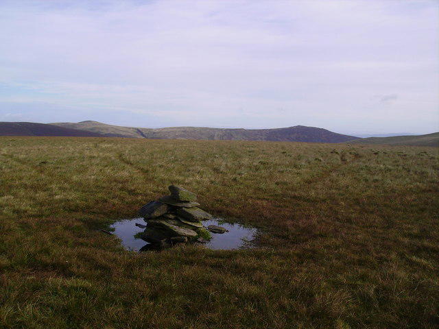 Photo could not load
NY3129 : Summit Cairn, Mungrisdale Common
Michael Graham
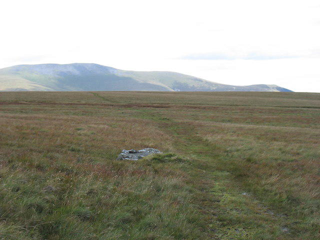 Photo could not load
NY3129 : Nearing the "summit" of Mungrisdale Common
David Purchase
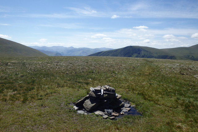 Photo could not load
NY3129 : Summit Cairn, Mungrisdale Common
Michael Graham
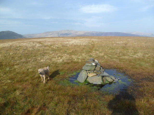 Photo could not load
NY3129 : Summit Cairn, Mungrisdale Common
Michael Graham
NY3129 : On Mungrisdale Common
Michael Graham
Hill facts and local notes
Classifications
Elevation
632m
2,073 ft
Prominence
2m
Coordinates
54.6532, -3.0684
NY311292
OS Map
90
Explorer: OL5S
At the Summit
The summit features a modest stone cairn and a small trig point, offering a satisfying landmark to pose with in photos.
Terrain & Geology
Predominantly composed of Skiddaw Slate with extensive glacial erosion. The soils are typical of the Lake District, supporting a range of flora including heather and grasses.
Views & Scenery
The North Lakes, with views over Blencathra and across to the Helvellyn range, as well as the mesmerizing backdrop of Threlkeld.
History & Heritage
Name Origin
'Mungrisdale' derives from Old Norse, possibly indicating a meadow or valley associated with a person named 'Mundr.'
Historical Significance
A notable walking destination since the 19th century, it attracts hikers interested in both its natural beauty and accessibility.
Getting There & Facilities
Parking
There is limited parking available in Mungrisdale village. Make sure to arrive early as spaces fill up quickly.
Public Transport
The nearest bus service runs from Keswick to Mungrisdale, but check local schedules for timings.
Nearby Facilities
The village of Mungrisdale has a small pub (the Mill Inn) where you can grab a bite to eat or a pint before or after your hike. Public toilets are also available in the village.
Safety Information
Known Hazards
- Sudden weather changes, especially in autumn and winter. Wet and boggy conditions can make footing treacherous.
General Safety Tips
- Check weather conditions before setting out
- Carry appropriate clothing and equipment
- Let someone know your planned route
- Take a map, compass, and GPS device
- Carry emergency supplies: food, water, first aid kit, torch
Hills
Some common questions about the hills answered
Are there group walks up Mungrisdale Common?
Many walkers use Walkmates to join or organise walks with others. You can check for group walks around Mungrisdale Common through the maps
Are there other walkers around Mungrisdale Common?
Activity varies by location and time, but Walkmates lets you see whether others have shared walks or shown interest in this area. Find other people through the walking friends search walking friends for Mungrisdale Common search or of course create your own walk for Mungrisdale Common
Can I organise a walk to Mungrisdale Common?
Yes. If there aren’t any walks listed already, you can create a walk and make it available for others to join.
If you're signed up to Walkmates, you can create a walk to Mungrisdale Common.
How do I find a walk up this hill?
There are often multiple ways to walk this hill, depending on experience and route preference. Walkmates helps you explore walks and routes that others have shared.
Can I suggest a new route up Mungrisdale Common?
Yes. You can suggest or create routes to share with others. Walkmates focuses on the social side of walking, so routes are used to help people organise walks and explore areas together, rather than as detailed navigation tools or route libraries.
Other uses really appreciate knowledgeable walkers sharing their routes. Share your favourite route to Mungrisdale Common here
The is an error or something incorrect about this hill. How do I let you know?
We always strive to keep the information on Walkmates as accurate as possible. If you find an error, please let us know through the contact form and we'll aim to correct it as quickly as possible
Community Discussion
Comments
Location
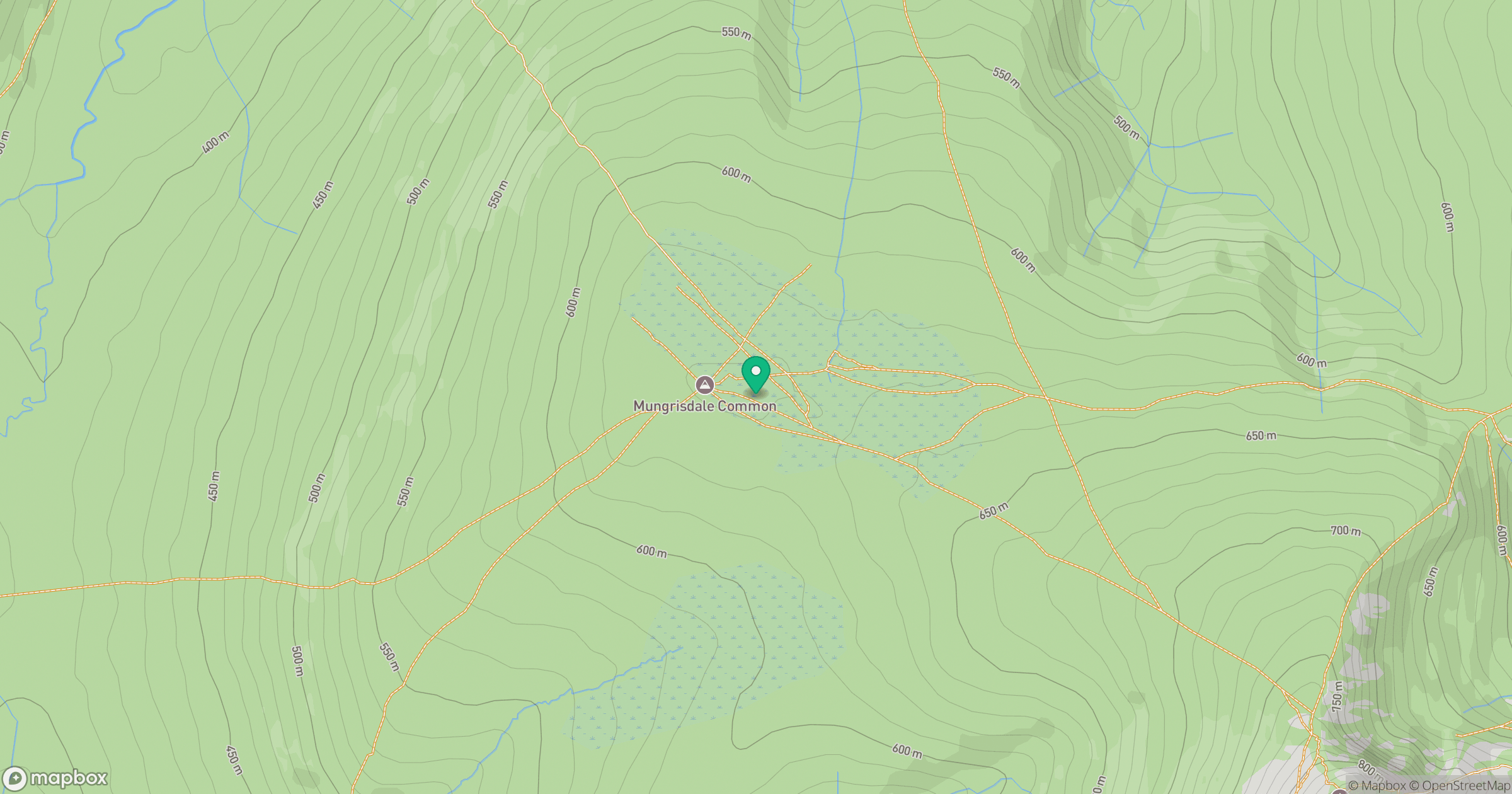
Grid reference: NY311292
View on OpenStreetMapOpens a map in a new tab, centred on the hill.


No comments yet. Be the first.