
Mulfran
Good walks are even better shared.
Overview
Mulfran - A Hidden Gem in the Brecon Beacons
Overview
Mulfran is a charming Marilyn that rises to 571 meters in the heart of the Brecon Beacons. A popular lesser-known hill, it offers hikers stunning views and a few surprises along the way.
Geology
This hill is mainly composed of Old Red Sandstone, renowned for its distinctive red hue. As you trek, observe the intriguing sedimentary layers that tell the story of the landscape's evolution, formed over 400 million years ago. You might feel like a geologist—but don’t worry, you won’t need to don a lab coat!
Routes
The Talybont Reservoir Loop is the go-to path for many hikers. With a distance of 10.5 km, the loop takes about 3.5 hours to complete and is moderate in difficulty, making it fit for families and seasoned hikers alike. Starting at Talybont Reservoir, you’ll enjoy picturesque views before ascending the hill proper.
Summit Features
Once at the summit, a stone cairn greets you and invites a moment of reflection—or the perfect selfie! The views from the top are nothing short of spectacular, stretching far across the Brecon Beacons.
Terrain
Expect a mixture of grassy slopes and rocky outcrops. The occasional boggy section provides that authentic ‘adventurer’ feel and keeps things interesting (and potentially muddy)!
Views
From Mulfran’s peak, you’ll enjoy sweeping vistas of neighbouring giants, such as Pen y Fan and Corn Du. The beauty of the Talybont Reservoir shines below, especially during the golden hour when the sun paints everything in a glorious hue.
Hazards
Always ensure you’re aware of the weather conditions, as they can shift quicker than you can say 'Jack Frost.' The paths can be slippery, particularly after a rain shower, so tread with care!
Nearby Summits
If you're feeling adventurous, consider tackling nearby Pen y Fan and Corn Du as well. Double the hills means double the views!
Access
You can park near Talybont-on-Usk at the reservoir—perfect for a morning or afternoon hike. Buses run periodically from Brecon, making the route accessible for those opting for public transport.
Facilities
After a long trek, pop into the local pub for a well-earned drink and perhaps some delicious grub! Public toilets are located near the reservoir, making it convenient for all hikers.
History
The name ‘Mulfran’ suggests a rich tapestry of local history, as it relates to the hills and crows of the area. The hill is embedded in local folklore, with tales whispering through the winds that blow down its slopes.
So grab your walking boots, bring a friend (or a snack), and head out to embrace the charm of Mulfran. Happy hiking!
Explore routes near Mulfran
Walks starting near this hill. Open a route to check its map, distance and full itinerary.
A Very Merry Winter Walk ending with Cake & a Hot Drink!
View route
Goytre Wharf to Pentre Bridge: Mon and Brec Canal Walk
View route
Clytha Estate: River Usk, Chapel Ruins and Castle Woods
View route
Merthyr Tydfil with Men Walking & Talking
View route
Route planning notes
These notes describe possible approaches. Check a route's map and access information when planning your walk.
Talybont Reservoir Loop
Starting from the Talybont Reservoir, this loop offers a scenic path around the water before ascending Mulfran. Perfect for a family day or a gentle solo hike.
Make a day of it, together
Find someone to share the walk with, or organise a day out along a route you like.
Hill facts and local notes
Classifications
Elevation
524m
1,719 ft
Prominence
23m
Coordinates
51.7882, -3.1560
SO203105
OS Map
161
Explorer: OL13S
At the Summit
The summit boasts a stone cairn, providing an excellent spot for a well-earned rest and a stunning view across the Brecon Beacons.
Terrain & Geology
Mulfran is primarily composed of Old Red Sandstone, known for its vivid red colours and unique sedimentary structures, a testament to the geological history of the region.
Views & Scenery
From the summit, you can catch breathtaking views of Pen y Fan and the surrounding peaks, as well as the tranquil waters of Talybont Reservoir below.
History & Heritage
Name Origin
The name 'Mulfran' is derived from the Welsh words 'Mull' (hill) and 'fran' (crow), perhaps indicating its high perches where crows delve.
Historical Significance
Mulfran, like many hills in the Brecon Beacons, has historical significance, often associated with local folklore and ancient routes used by shepherds.
Getting There & Facilities
Parking
Talybont-on-Usk offers ample parking near the reservoir. It's a popular spot, so arrive early on weekends!
Public Transport
Buses service Talybont-on-Usk from Brecon and Cardiff, but check local schedules as they can vary.
Nearby Facilities
The local pub in Talybont-on-Usk serves delightful food and drinks. There are also public toilets available near the reservoir.
Safety Information
Known Hazards
- Beware of slippery rocks, particularly after rain. The paths can be muddy in wet conditions, and sudden weather changes can occur, so be prepared!
General Safety Tips
- Check weather conditions before setting out
- Carry appropriate clothing and equipment
- Let someone know your planned route
- Take a map, compass, and GPS device
- Carry emergency supplies: food, water, first aid kit, torch
Hills
Some common questions about the hills answered
Are there group walks up Mulfran?
Many walkers use Walkmates to join or organise walks with others. You can check for group walks around Mulfran through the maps
Are there other walkers around Mulfran?
Activity varies by location and time, but Walkmates lets you see whether others have shared walks or shown interest in this area. Find other people through the walking friends search walking friends for Mulfran search or of course create your own walk for Mulfran
Can I organise a walk to Mulfran?
Yes. If there aren’t any walks listed already, you can create a walk and make it available for others to join.
If you're signed up to Walkmates, you can create a walk to Mulfran.
How do I find a walk up this hill?
There are often multiple ways to walk this hill, depending on experience and route preference. Walkmates helps you explore walks and routes that others have shared.
Can I suggest a new route up Mulfran?
Yes. You can suggest or create routes to share with others. Walkmates focuses on the social side of walking, so routes are used to help people organise walks and explore areas together, rather than as detailed navigation tools or route libraries.
Other uses really appreciate knowledgeable walkers sharing their routes. Share your favourite route to Mulfran here
The is an error or something incorrect about this hill. How do I let you know?
We always strive to keep the information on Walkmates as accurate as possible. If you find an error, please let us know through the contact form and we'll aim to correct it as quickly as possible
Community Discussion
Comments
Location
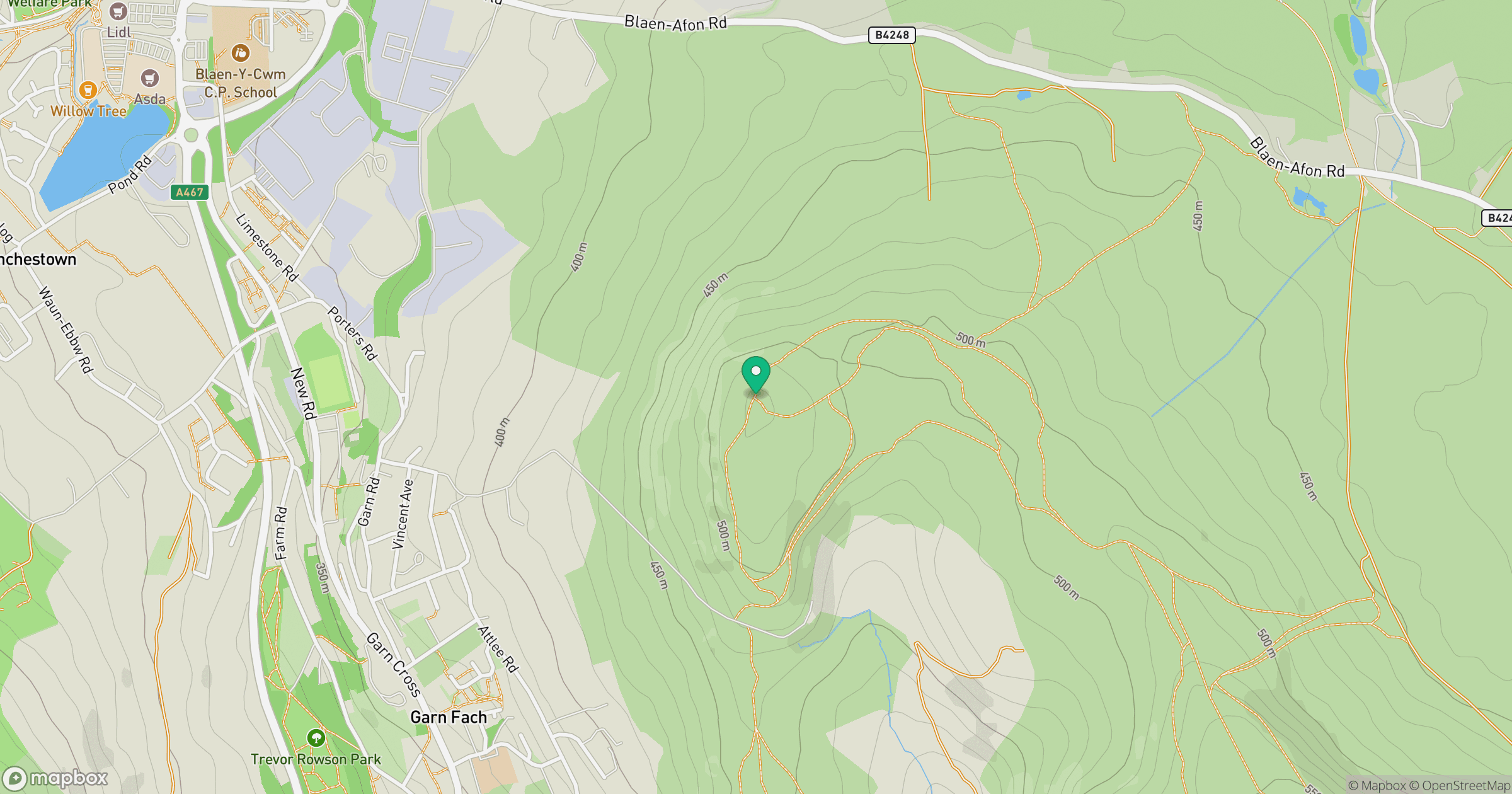
Grid reference: SO203105
View on OpenStreetMapOpens a map in a new tab, centred on the hill.


No comments yet. Be the first.