
Moel Eilio
Good walks are even better shared.
Overview
Discovering Moel Eilio
Nestled in the heart of Snowdonia, Moel Eilio stands at a proud 726 meters, boasting both beauty and a little bit of character. This Marilyn is not just another hill; it's an integral part of the Welsh hiking tapestry!
Geology
Having been formed during the volcanic activity that shaped this region millions of years ago, the colourful and rugged landscape still bears the marks of history. Expect to see fascinating rock formations as you traverse the paths.
How to Get There
Visiting Moel Eilio is as easy as pie — if you know where to look! The nearest parking is in Llanberis, which is not only convenient but also offers plenty of refreshment options for when you return.
Routes
There are several popular routes leading to the summit. The most recommended is the route from Llanberis, which offers a moderate challenge with stunning views all the way. Fancy a leg stretch? Try the ridge from Moel Berfydd for a challenge that rewards with unparalleled vistas.
Summit Features
At the top, you’ll find a trig point proudly marking your success. Snap a selfie — it deserves its moment of fame!
Terrain and Views
The landscape is a delightful tapestry of grassy slopes and rocky outcrops, giving you plenty to admire and a little to navigate. The views from the summit are absolutely fantastic; you’ll be able to spot Snowdon and the serene Llyn Padarn sprawled beneath you, so don’t forget your camera!
Hazards
Be sure to watch your step on those rocky patches and loose scree; your feet may have their own ideas about which direction to take!
Nearby Attractions
Don’t miss out on nearby summits like Snowdon and Moel Berfydd if you’re up for turning your adventure into a multi-summit expedition.
Final Thoughts
Whether you're a seasoned climber or just fancy a healthy stroll with a view, Moel Eilio is a fantastic addition to any hiker's list. Just remember to pack a sense of adventure and a bit of common sense!
Happy hiking!
Explore routes near Moel Eilio
Walks starting near this hill. Open a route to check its map, distance and full itinerary.
Llyn Crafnant: Lakeside Circuit from the NRW Car Park
View route
Snowdon Pyg Track returning by Miner's Track
View route
Beddgelert Forest: Derwen Circuit and Llyn Llywelyn
View route
Beddgelert Forest: Llyn Llywelyn Woodland Circuit
View route
Route planning notes
These notes describe possible approaches. Check a route's map and access information when planning your walk.
Moel Eilio from Llanberis
A popular route starting from the village of Llanberis, following well-marked paths through lush greenery before ascending to the summit.
Moel Eilio via the ridge from Moel Berfydd
This route offers a slightly more challenging hike with stunning views, starting from the ridge of Moel Berfydd.
Make a day of it, together
Find someone to share the walk with, or organise a day out along a route you like.
Hill facts and local notes
Classifications
Elevation
546m
1,791 ft
Prominence
92m
Coordinates
53.1755, -3.8757
SH747659
OS Map
115
Explorer: OL17E
At the Summit
The summit features a prominent trig point, which is a favourite photo spot for hikers. There are also panoramic views that are nothing short of breathtaking.
Terrain & Geology
Moel Eilio is primarily composed of volcanic rock, particularly rhyolite and tuff, which are remnants from the ancient volcanic activity that took place millions of years ago. This gives the landscape a unique, rugged character with areas of exposed rock.
Views & Scenery
From the summit, one can see the majestic peaks of Snowdon, the romantic shores of Llyn Padarn and the vast Walese countryside. On clear days, the coastline of Anglesey is visible in the distance.
History & Heritage
Name Origin
The name 'Moel Eilio' is believed to derive from the Welsh words ‘moel’ meaning ‘bald hill’ and 'Eilio' possibly referring to a personal name or a local historical figure.
Historical Significance
Moel Eilio has been a significant point for hikers and climbers for generations, offering access to various trails and breathtaking views.
Getting There & Facilities
Parking
Llanberis has several car parks, with the closest being the main car park for hikers, located just off the A4086. Be prepared to pay a small fee.
Public Transport
Llanberis is accessible via bus services from nearby towns like Caernarfon and Bangor. The local train service also connects to the area.
Nearby Facilities
Llanberis offers various facilities, including cafes, shops, and public toilets, making it a great starting point for your adventure.
Safety Information
Known Hazards
- Uneven terrain and loose rock can pose risks, especially during wet weather. Be mindful of sudden changes in weather conditions which can occur rapidly in mountainous areas.
General Safety Tips
- Check weather conditions before setting out
- Carry appropriate clothing and equipment
- Let someone know your planned route
- Take a map, compass, and GPS device
- Carry emergency supplies: food, water, first aid kit, torch
Hills
Some common questions about the hills answered
Are there group walks up Moel Eilio?
Many walkers use Walkmates to join or organise walks with others. You can check for group walks around Moel Eilio through the maps
Are there other walkers around Moel Eilio?
Activity varies by location and time, but Walkmates lets you see whether others have shared walks or shown interest in this area. Find other people through the walking friends search walking friends for Moel Eilio search or of course create your own walk for Moel Eilio
Can I organise a walk to Moel Eilio?
Yes. If there aren’t any walks listed already, you can create a walk and make it available for others to join.
If you're signed up to Walkmates, you can create a walk to Moel Eilio.
How do I find a walk up this hill?
There are often multiple ways to walk this hill, depending on experience and route preference. Walkmates helps you explore walks and routes that others have shared.
Can I suggest a new route up Moel Eilio?
Yes. You can suggest or create routes to share with others. Walkmates focuses on the social side of walking, so routes are used to help people organise walks and explore areas together, rather than as detailed navigation tools or route libraries.
Other uses really appreciate knowledgeable walkers sharing their routes. Share your favourite route to Moel Eilio here
The is an error or something incorrect about this hill. How do I let you know?
We always strive to keep the information on Walkmates as accurate as possible. If you find an error, please let us know through the contact form and we'll aim to correct it as quickly as possible
Community Discussion
Comments
Location
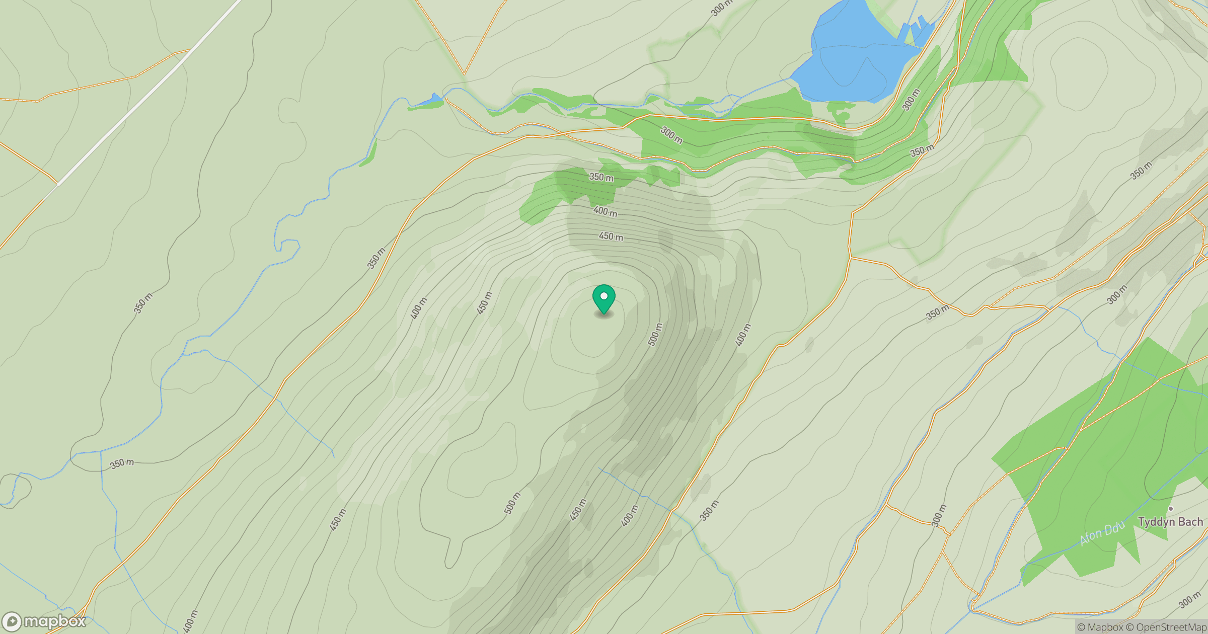
Grid reference: SH747659
View on OpenStreetMapOpens a map in a new tab, centred on the hill.
Nearby Hills
Carnedd Llewelyn
1,062m
Moel Siabod
872m
Carnedd Dafydd
1,044m
Tryfan
918m
Great Orme [Y Gogarth]
207m
No comments yet. Be the first.