

Meikle Bin
Good walks are even better shared.
NS6681 : Meikle Bin
Ron Shephard Photo source
Overview
Meikle Bin
Introduction
Nestled in the heart of Central Scotland, Meikle Bin stands proudly at 668 meters above sea level. This Marilyn offers both seasoned hikers and casual walkers an inviting challenge, coupled with stunning vistas that will make your heart flutter.
Geology
Meikle Bin is primarily composed of granite, distinguished by its rugged formation. The glacial activity that shaped this area has also created unique landforms, offering visitors a glimpse into the area's geological history. Look closely and you may even spot interesting rock formations and diverse vegetation thriving in the well-drained soils.
Routes
The most frequented path is the Meikle Bin Circular Walk, which spans approximately 7 kilometers. This moderate route is accessible for most walkers and typically takes about 2.5 hours to complete. Remember to appreciate the scenery while you navigate the occasional boggy patch!
Summit Features
Upon reaching the summit, you're welcomed by a classic trig point standing stoically amongst a mound of stones. It's the perfect spot for a photo op—just don't forget to strike a dramatic pose with the magnificent backdrop!
Terrain
The terrain ranges from grassy slopes to rocky outcrops, with a sprinkle of boggy areas to keep you on your toes. Sturdy hiking boots are a must, as you might encounter slippery sections after rain.
Views
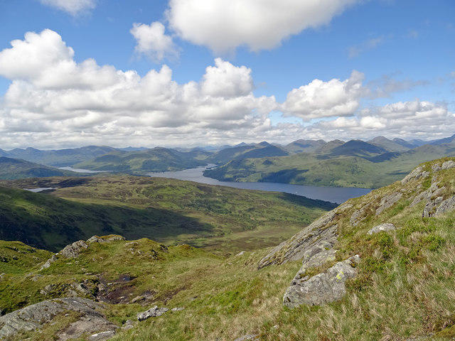
The panoramic views from Meikle Bin are nothing short of spectacular. On a clear day, the Campsie Fells, Loch Lomond, and the Trossachs all come into view, offering a tapestry of colours and landscapes. The late spring and early autumn months are particularly special for visibility and pleasant weather.
Hazards
As with many Scottish hills, weather can change quicker than you can say 'Scottish summer'. Be prepared for sudden downpours and keep an eye out for uneven footing, especially in boggy areas.
Nearby Summits
Meikle Bin is in the vicinity of several other noteworthy peaks, including Burghead Hill and the Campsie Fells. Each adds its charm to the landscape, making it worthwhile to explore beyond Meikle Bin.
Access
For those driving, limited parking can be found at the end of the minor road leading to the hill. Public transport options are available from Milngavie, but do check current timetables. The quaint village of Strathblane, just 7 km away, provides a picturesque starting point to embark on your adventure.
Facilities
Once you've descended and earned your post-hike refreshment, Strathblane has a selection of charming cafes and shops where you can treat yourself. Facilities such as public toilets can also be found in the village.
History
The name 'Meikle Bin' translates to 'Big Hill' in Scots and boasts a rich local lore. It remains a significant spot for both historical and cultural references, cherished by the local community and visitors alike.
Make sure to tick Meikle Bin off your hiking list; it’s a wee treasure of Scotland, so get your boots on and enjoy the journey!
Explore routes near Meikle Bin
Walks starting near this hill. Open a route to check its map, distance and full itinerary.
Kirkintilloch to Twechar Bridge: Forth and Clyde Canal Return
View route
King's Park and the Golf Course
View route
King's Park to Cambusbarron
View route
Blair Drummond Circular
View route
Route planning notes
These notes describe possible approaches. Check a route's map and access information when planning your walk.
Meikle Bin Circular Walk
A popular circular route that starts from the car park at the end of the minor road leading towards the hill, this walk offers views across the Campsie Fells and beyond.
Make a day of it, together
Find someone to share the walk with, or organise a day out along a route you like.
Photo Gallery
View all Photo could not load
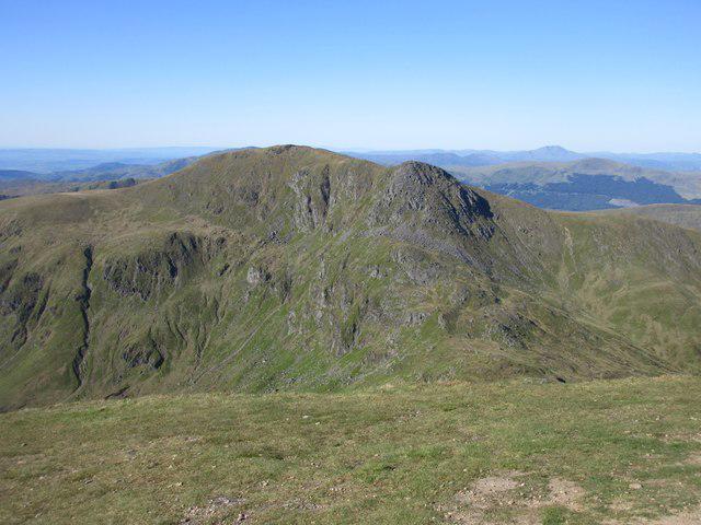
NS6681 : Meikle Bin
Ron Shephard
 Photo could not load
NS6682 : Aircraft wreckage
Callum Black
 Photo could not load
NS6682 : Path up Meikle Bin
G Laird
 Photo could not load
NS6682 : Fairey Firefly Wreckage - Image #2
James T M Towill
 Photo could not load
NS6682 : The little pap of Meikle Bin
Robert Murray
 Photo could not load
NS6682 : Near the summit of Meikle Bin
Alan O'Dowd
 Photo could not load
NS6682 : Fairey Firefly Wreckage - Image #1
James T M Towill
 Photo could not load
NS6682 : Fairey Firefly Wreckage - Image #6
James T M Towill
 Photo could not load
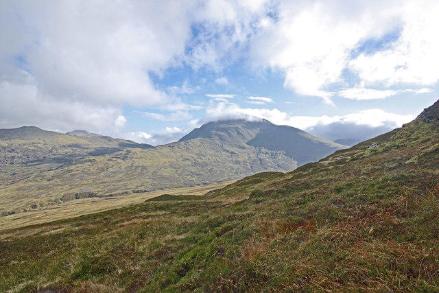
NS6682 : Meikle Bin, southern approaches
Robert Murray

NS6682 : Northeast flank of Meikle Bin
Richard Webb
Hill facts and local notes
Classifications
Elevation
570m
1,870 ft
Prominence
236m
Coordinates
56.0139, -4.1395
NS667821
OS Map
57 64
Explorer: 348
At the Summit
The summit features a large mound of stones, a trig point, and panoramic views that could make any summit-hugging hiker swoon.
Terrain & Geology
Granite underlies Meikle Bin, making for interesting rock formations and well-drained soils that support a range of flora and fauna. The hill's slopes are shaped by glacial activity, lending a rugged character to the terrain.
Views & Scenery
From the summit, hikers can enjoy stunning views of the Campsie Fells, Loch Lomond, and the Trossachs, with clear days revealing the distant Grampians.
History & Heritage
Name Origin
The name 'Meikle Bin' derives from the Scots language, where 'Meikle' means 'big' and 'Bin' historically refers to a hill or hillock.
Historical Significance
Meikle Bin is a beloved local landmark with a rich history that dates back to ancient times. It has often been featured in local folklore and is a popular spot for hikers of all abilities.
Getting There & Facilities
Parking
There is limited parking at the end of the minor road leading to Meikle Bin. Make sure you don't block any access roads.
Public Transport
The nearest bus service runs from Milngavie, followed by a walk to the trailhead. Check local timetables for current services.
Nearby Facilities
Strathblane offers a few cafes and shops, perfect for re-fuelling after a vigorous hike. Public toilets are available in the village.
Safety Information
Known Hazards
- Watch for sudden weather changes typical of Scotland. The terrain can be uneven and there are boggy areas, so a good pair of boots is essential.
General Safety Tips
- Check weather conditions before setting out
- Carry appropriate clothing and equipment
- Let someone know your planned route
- Take a map, compass, and GPS device
- Carry emergency supplies: food, water, first aid kit, torch
Hills
Some common questions about the hills answered
Are there group walks up Meikle Bin?
Many walkers use Walkmates to join or organise walks with others. You can check for group walks around Meikle Bin through the maps
Are there other walkers around Meikle Bin?
Activity varies by location and time, but Walkmates lets you see whether others have shared walks or shown interest in this area. Find other people through the walking friends search walking friends for Meikle Bin search or of course create your own walk for Meikle Bin
Can I organise a walk to Meikle Bin?
Yes. If there aren’t any walks listed already, you can create a walk and make it available for others to join.
If you're signed up to Walkmates, you can create a walk to Meikle Bin.
How do I find a walk up this hill?
There are often multiple ways to walk this hill, depending on experience and route preference. Walkmates helps you explore walks and routes that others have shared.
Can I suggest a new route up Meikle Bin?
Yes. You can suggest or create routes to share with others. Walkmates focuses on the social side of walking, so routes are used to help people organise walks and explore areas together, rather than as detailed navigation tools or route libraries.
Other uses really appreciate knowledgeable walkers sharing their routes. Share your favourite route to Meikle Bin here
The is an error or something incorrect about this hill. How do I let you know?
We always strive to keep the information on Walkmates as accurate as possible. If you find an error, please let us know through the contact form and we'll aim to correct it as quickly as possible
Community Discussion
Comments
Location
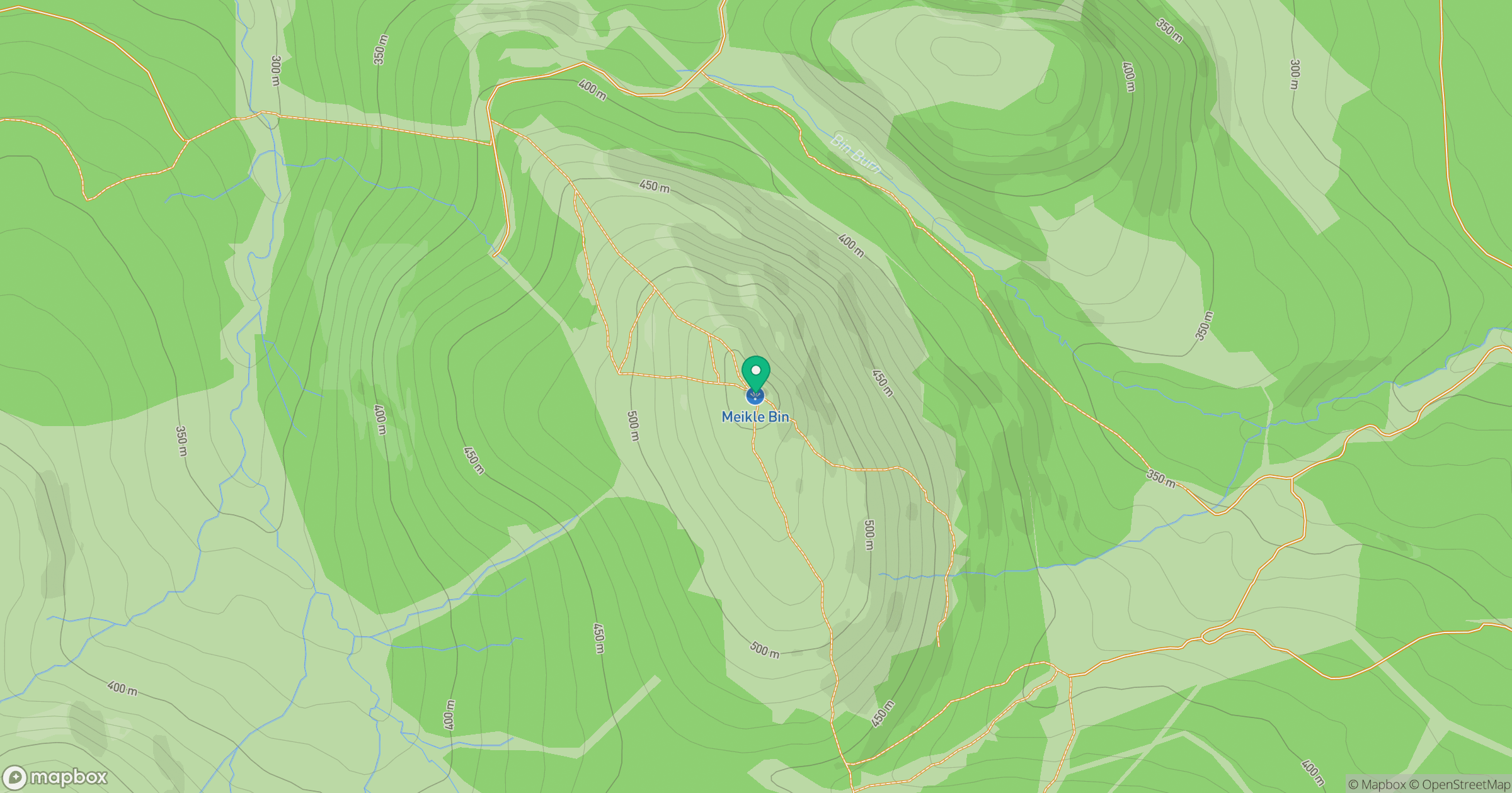
Grid reference: NS667821
View on OpenStreetMapOpens a map in a new tab, centred on the hill.
No comments yet. Be the first.