

Meall na Spionaig
Good walks are even better shared.
Overview
Meall na Spionaig: A Highland Jewel
Overview
Nestled in the magnificent Scottish Highlands, Meall na Spionaig invites adventurers to explore its scenic routes and breathtaking vistas. Standing proud at 613 meters, this Munro is famed for its amazing views of the surrounding landscape.
Geology
Meall na Spionaig is predominantly composed of granite and schist, a testament to the powerful geological forces that shaped this region. The rugged terrain we traverse today is a product of glacial activity, leaving behind rocky outcrops that provide both challenge and charm to any hike.
Routes
The most common route begins from the A85 road. This moderate trek of approximately 7 km will typically take around 3.5 hours, perfect for those looking for a rewarding day without the rigor of a more demanding climb. Along the way, hikers will pass through stunning moorland, keeping an eye out for the local wildlife.
Summit Features
At the summit, you’ll be greeted by a sturdy cairn that’s almost begging for your selfie. The 360-degree views from the top are nothing short of spectacular, so ensure your camera is ready!
Terrain and Conditions
Expect a combination of grassy paths and rocky stretches, which together make the ascent both enjoyable and a tad challenging. Footing can be precarious at times, particularly in wet weather, so ensure you have a solid pair of boots and perhaps avoid the flip-flops!
Views and Best Seasons
If you’re after the best views, aim to hike during the summer or early autumn when the skies tend to be clear. You'll be able to gaze upon Loch Awe and the majestic peaks of Ben Cruachan, a sight that's sure to make your heart sing. Spring, with its delightful wildflowers, adds a nice touch to the landscape.
Hazards
Always keep in mind that Highland weather is notoriously changeable. Prepare for rain, wind, and that sneaky fog that loves to descend when you least expect it. The ground can become slippery, so take care, and don't blame the mountain if you take a tumble!
Nearby Summits
For those looking to extend their adventure, nearby summits like Ben Cruachan (1126m) and Meall Odhar (740m) make excellent companions for a challenging day out in the hills.
Access
The closest parking area to the starting point is conveniently along the A85, but it can fill up quickly, especially on nice weekends, so it's recommended to arrive early. Dalmally is the nearest town, offering basic amenities like a shop and a cafe to refuel after your hike.
Conclusion
Whether you're a well-seasoned climber or a novice eager for a taste of the Highlands, Meall na Spionaig is a delightful choice that promises splendid views and a rewarding challenge. Just remember to take your camera, enjoy the climb, and maybe pack a sandwich or two!
Explore routes near Meall na Spionaig
Public walks starting within 80 km of this hill. Nearby does not mean a route reaches the summit; check its map and access before setting out.
Glen Banvie Trail with the Bruar viewpoint
View route
Aberfeldy: Glassie Woodland and River Tay Circular
View route
Loch Muick full circuit from Spittal of Glen Muick
View route
Rothiemurchus: Beaver Trail and Lochan Mor
View route
Route planning notes
These notes describe possible approaches, not verified navigable routes or permission to cross land. Check current paths, local access rules and conditions before setting out.
From the A85 Road
A popular ascent starting from the A85 gives you a straightforward path to the summit, passing through beautiful moorland.
Make a day of it, together
Find someone to share the walk with, or organise a day out along a route you like.
Photo Gallery
View all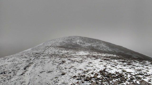 Photo could not load
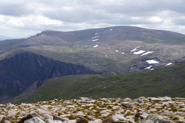
NO0077 : Summit of Meall na Spionaig
Aleks Scholz
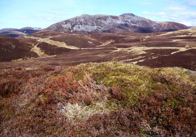 Photo could not load
NO0077 : Summit of Meall na Spionaig
Alan Dawson
Hill facts and local notes
Classifications
Elevation
763m
2,503 ft
Prominence
136m
Coordinates
56.8776, -3.6399
NO001774
OS Map
43
Explorer: OL52N 387N
At the Summit
The summit features a well-built cairn with stunning views all around, perfect for a photo op to prove to your friends that you did indeed climb a mountain.
Terrain & Geology
Composed mainly of granite and schist, giving it a rugged appearance. The mountain's geology is typical of the Scottish Highlands, shaped by glacial activity that left behind deep valleys and rocky outcrops.
Views & Scenery
On a clear day, you can spot Loch Awe, the peaks of the surrounding mountains including Ben Cruachan and the vast expanse of the Highlands.
History & Heritage
Name Origin
The name 'Meall na Spionaig' translates to 'Hill of the little thorn', likely reflecting the rugged, natural beauty of the area.
Historical Significance
This mountain contributes to the rich cultural tapestry of the Highlands, being a part of local folklore and heritage.
Getting There & Facilities
Check current local access restrictions, parking rules and transport timetables before travelling. These notes do not confirm public access to the summit.
Parking
There is a small parking area near the A85, suitable for a few cars. Please park responsibly and avoid blocking any access routes.
Public Transport
The nearest bus stop is located in the village of Dalmally, with services from Glasgow and Oban. From there, it's about 8 km to the mountain base.
Nearby Facilities
While there are limited facilities in the immediate area, Dalmally offers a small shop and a cafe for refreshments before or after your hike.
Safety Information
Known Hazards
- Weather can change rapidly in the Highlands, so be prepared for all eventualities. Wet terrain can become slippery, and fog can obscure paths.
General Safety Tips
- Check weather conditions before setting out
- Carry appropriate clothing and equipment
- Let someone know your planned route
- Take a map, compass, and GPS device
- Carry emergency supplies: food, water, first aid kit, torch
Hills
Some common questions about the hills answered
Are there group walks up Meall na Spionaig?
Many walkers use Walkmates to join or organise walks with others. You can check for group walks around Meall na Spionaig through the maps
Are there other walkers around Meall na Spionaig?
Activity varies by location and time, but Walkmates lets you see whether others have shared walks or shown interest in this area. Find other people through the walking friends search walking friends for Meall na Spionaig search or of course create your own walk for Meall na Spionaig
Can I organise a walk to Meall na Spionaig?
Yes. If there aren’t any walks listed already, you can create a walk and make it available for others to join.
If you're signed up to Walkmates, you can create a walk to Meall na Spionaig.
How do I find a walk up this hill?
There are often multiple ways to walk this hill, depending on experience and route preference. Walkmates helps you explore walks and routes that others have shared.
Can I suggest a new route up Meall na Spionaig?
Yes. You can suggest or create routes to share with others. Walkmates focuses on the social side of walking, so routes are used to help people organise walks and explore areas together, rather than as detailed navigation tools or route libraries.
Other uses really appreciate knowledgeable walkers sharing their routes. Share your favourite route to Meall na Spionaig here
The is an error or something incorrect about this hill. How do I let you know?
We always strive to keep the information on Walkmates as accurate as possible. If you find an error, please let us know through the contact form and we'll aim to correct it as quickly as possible
Community Discussion
Comments
Location
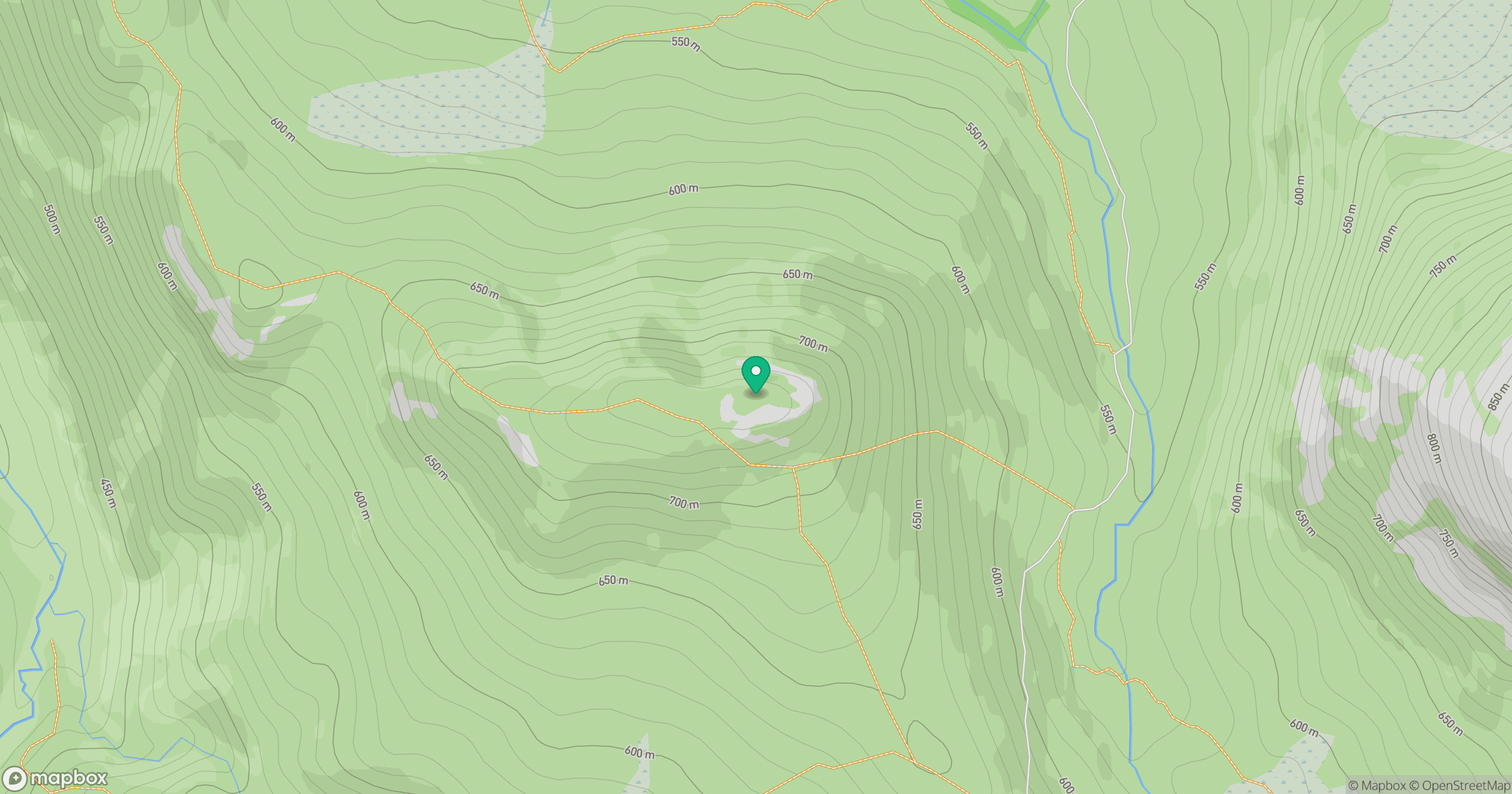
Grid reference: NO001774
View on OpenStreetMapOpens a map in a new tab, centred on the hill.
Hills within 30 km
Straight-line distance, not a walking route or confirmation of access.
Beinn a' Ghlo - Carn nan Gabhar
1,122m
Beinn a' Ghlo - Braigh Coire Chruinn-bhalgain
1,070m
Beinn a' Ghlo - Carn Liath
976m
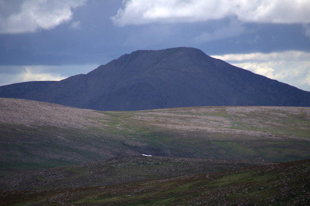
Cairn Toul
1,292m
Ben Macdui [Beinn Macduibh]
1,309m
No comments yet. Be the first.