
Meall Aiteachain
Good walks are even better shared.
Overview
Meall Aiteachain: The Hill of Abundance
Meall Aiteachain, standing at a proud 946 meters, is one of Scotland's celebrated Munros, drawing hikers from near and far. Nestled in the heart of the Scottish Highlands, this mountain offers both challenge and beauty.
Geology
The fascinating geology of Meall Aiteachain speaks of ancient volcanic activity, resulting in a diverse terrain characterized by rocky outcrops and lush grassy areas. Keep an eye out for the intriguing rock formations as you ascend, which tell stories of geological change over millennia.
Routes
Two main routes offer distinct approaches to the summit:
- East Ridge Route: A moderate 7.5 km trail that is straightforward and well-defined. As you traverse this route, you’re greeted with increasingly stunning views, perfect for the keen photographer.
- South-West Ascent: A more challenging 10 km adventure that is ideal for those looking to immerse themselves in the beauty of the Highlands. Prepare for a longer trek that comes with ample reward.
Summit Features
Reaching the top, you will find a stone cairn and a trig point, both perfect markers for a victory photo or a well-deserved break. You can also take a moment to revel in the vastness of nature surrounding you.
Terrain
Hikers should expect a rocky and sometimes boggy terrain. Good hiking boots are essential; you wouldn’t want to lose your footing and give the mountain a surprise splash.
Views
From the summit, witness panoramic views of the Loch Tay stretching below and majestic peaks, including Ben More, in the distance. For the best views, aim for late spring or early autumn; the scenery is particularly photogenic with the changing colours of the seasons.
Hazards
As with many Highlands adventures, be wary of changing weather and loose rocks, particularly in wet conditions. A sunny start can quickly turn into a drizzly outing if you're not paying attention.
Access
Getting to Meall Aiteachain is straightforward. The nearest parking can be found at NN738313 near the foot of the hill. Public transport services run from nearby towns, making it accessible even if you haven't got your own wheels. Killin is your closest town, featuring all essential facilities to prepare for your journey.
Facilities
In the charming village of Killin, you can grab a bite to eat, refresh yourself with some local delicacies, and even use public toilets before you head into the wild.
History
The name Meall Aiteachain hints at its abundant nature, a perfect title for this remarkable feature of the Highlands. The mountain is woven into the history of the Clan MacNab, so you’re not just hiking; you’re treading the grounds of Scottish heritage.
Ready your boots, pack your sandwiches, and venture forth to Meall Aiteachain—where nature showcases its beauty and history whispers through the winds.
Explore routes near Meall Aiteachain
Walks starting near this hill. Open a route to check its map, distance and full itinerary.
Kenmore: Drummond Hill Black Rock Trail above Loch Tay
View route
Crieff: Lady Mary's Walk and the River Earn
View route
Killin: Falls of Dochart, Finlarig and Moirlanich Longhouse
View route
Aberfeldy: Glassie Woodland and River Tay Circular
View route
Route planning notes
These notes describe possible approaches. Check a route's map and access information when planning your walk.
East Ridge Route
A popular and scenic route starting from the north-eastern slopes, ascending steadily with rewarding views.
South-West Ascent
A longer approach that rewards hikers with stunning vistas, great for those looking to take their time.
Make a day of it, together
Find someone to share the walk with, or organise a day out along a route you like.
Hill facts and local notes
Classifications
Elevation
784m
2,571 ft
Prominence
20m
Coordinates
56.4617, -4.0502
NN737318
OS Map
51 52
Explorer: OL48E 378E
At the Summit
The summit features a stone cairn, providing a fitting photo opportunity as you reach the top, alongside a trig point for the geography enthusiasts among us.
Terrain & Geology
Meall Aiteachain is predominantly composed of volcanic rock originating from ancient lava flows, which creates a fascinating landscape of rugged hills and deep valleys. The unique geology contributes to the diverse ecosystems found in the area.
Views & Scenery
Spectacular views of the surrounding hills, including Ben More and the picturesque Loch Tay.
History & Heritage
Name Origin
The name 'Meall Aiteachain' loosely translates to 'Hill of the Aiteach', with 'aiteach' believed to denote 'abundant' or 'prosperous'.
Historical Significance
The area has historical significance as part of the ancient lands of the Clan MacNab, adding a touch of Scottish heritage to your hiking experience.
Getting There & Facilities
Parking
There is a parking area at the farm near the foot of the hill, located at NN738313, which can accommodate several vehicles.
Public Transport
Buses run from nearby towns such as Killin and Crianlarich, though check local schedules as they vary.
Nearby Facilities
In Killin, you'll find charming cafes, shops, and public toilets, ensuring you can stock up before your adventure.
Safety Information
Known Hazards
- Be cautious of loose rocks, especially in wet conditions; the sudden weather changes characteristic of the Highlands can turn a sunny day into a damp affair in moments.
General Safety Tips
- Check weather conditions before setting out
- Carry appropriate clothing and equipment
- Let someone know your planned route
- Take a map, compass, and GPS device
- Carry emergency supplies: food, water, first aid kit, torch
Hills
Some common questions about the hills answered
Are there group walks up Meall Aiteachain?
Many walkers use Walkmates to join or organise walks with others. You can check for group walks around Meall Aiteachain through the maps
Are there other walkers around Meall Aiteachain?
Activity varies by location and time, but Walkmates lets you see whether others have shared walks or shown interest in this area. Find other people through the walking friends search walking friends for Meall Aiteachain search or of course create your own walk for Meall Aiteachain
Can I organise a walk to Meall Aiteachain?
Yes. If there aren’t any walks listed already, you can create a walk and make it available for others to join.
If you're signed up to Walkmates, you can create a walk to Meall Aiteachain.
How do I find a walk up this hill?
There are often multiple ways to walk this hill, depending on experience and route preference. Walkmates helps you explore walks and routes that others have shared.
Can I suggest a new route up Meall Aiteachain?
Yes. You can suggest or create routes to share with others. Walkmates focuses on the social side of walking, so routes are used to help people organise walks and explore areas together, rather than as detailed navigation tools or route libraries.
Other uses really appreciate knowledgeable walkers sharing their routes. Share your favourite route to Meall Aiteachain here
The is an error or something incorrect about this hill. How do I let you know?
We always strive to keep the information on Walkmates as accurate as possible. If you find an error, please let us know through the contact form and we'll aim to correct it as quickly as possible
Community Discussion
Comments
Location
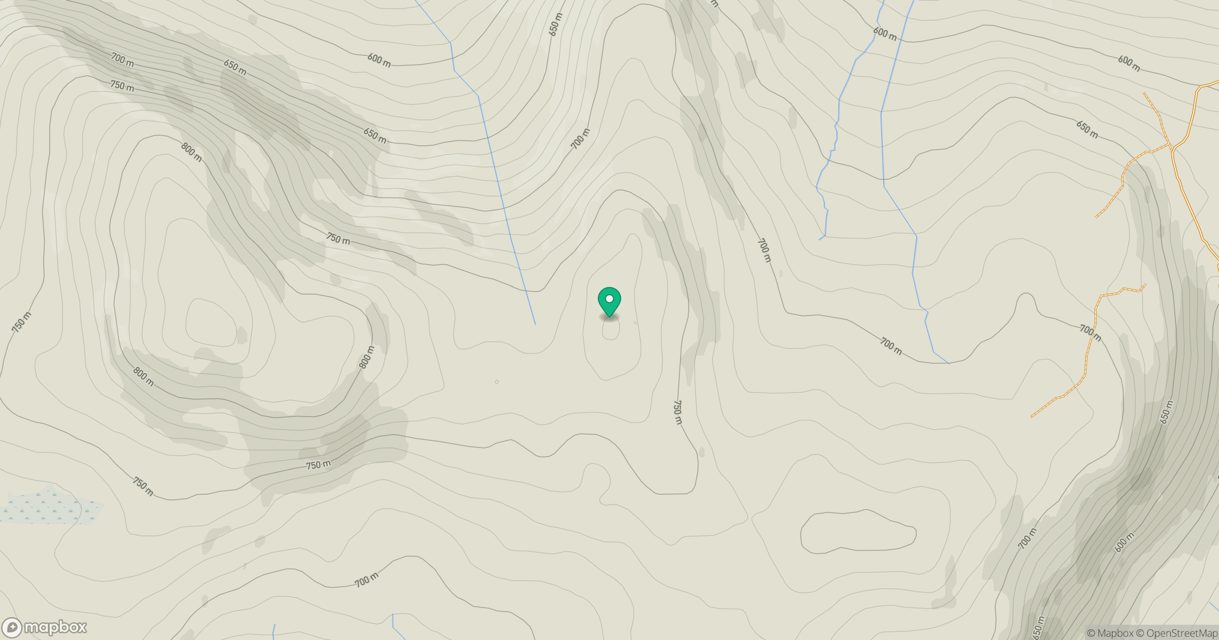
Grid reference: NN737318
View on OpenStreetMapOpens a map in a new tab, centred on the hill.


No comments yet. Be the first.