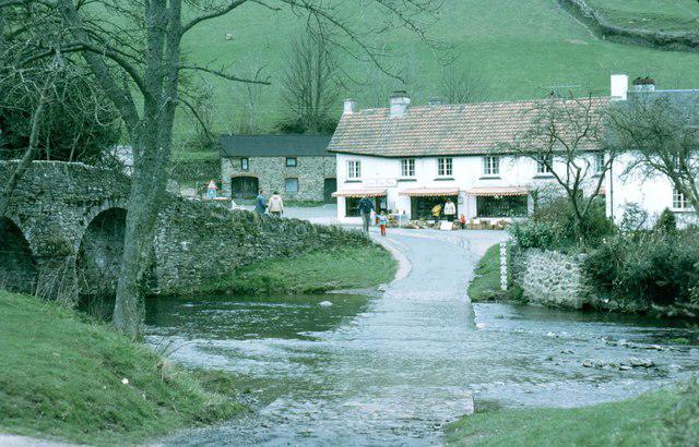
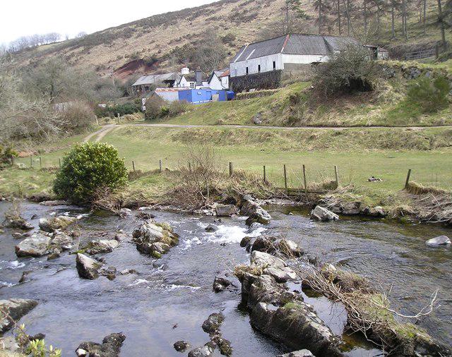
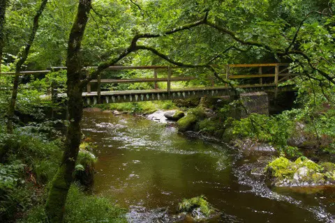
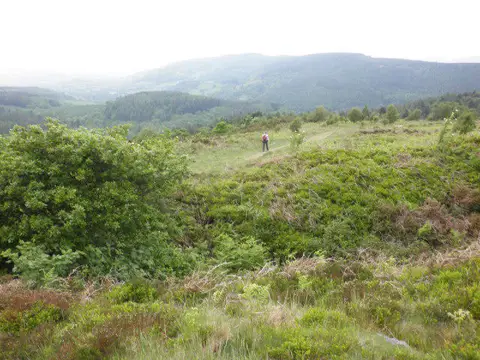
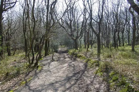
Leave Malmsmead for a varied Exmoor circuit beside Badgworthy Water and across Brendon Common. The public bridleway follows the wooded valley past the Cloud Farm footbridge and the memorial to R. D. Blackmore, before reaching the remains of the medieval settlement. The return climbs onto open moorland, then uses a stone track, another bridleway and a quiet lane back to the village. Expect uneven ground, muddy patches, steep sections and unbridged fords. Turn back if water is too high to cross safely. Keep dogs on a lead and take care around horses and vehicles. Start at the Lorna Doone visitor car-park entrance. The complete mapped route is about 10 km. Allow at least three hours, plus stops and extra time in wet conditions.
Start and parking: Lorna Doone Farm visitor car park, Malmsmead, EX35 6NU. The plotted start is the public-road junction with the car-park access aisle. Walk south along the road behind the shop. This route uses the public road and bridleway rather than the fee/permissive riverside approach; no private shop or café passage is required. Stay on the western bank of Badgworthy Water rather than crossing the Cloud Farm footbridge.
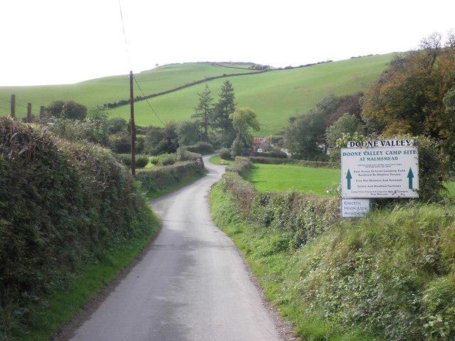
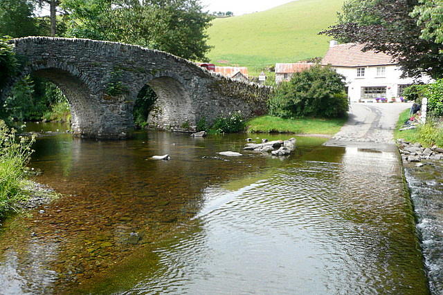
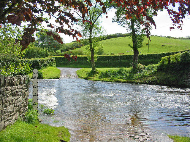
Access and conditions: Unbridged fords are part of the route. Do not cross in high water. About 1.5 km is on unclassified roads, including the village approach and Post Lane; stay alert to traffic. Shared bridleways may carry horses. Open moorland, streams and rough or wet ground require suitable footwear, weather protection and navigation. Keep dogs on leads.
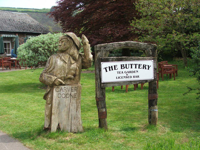
Parking is paid, with JustPark (location 80620) or payment machines. National Trust members park free but must register. The exact non-member tariff was not verified. Toilets are at the visitor site; the independent shop and tea room may not be open. Mobile signal is limited. The site displayed dawn-to-dusk valley, car-park and toilet access on its 19 October 2026 calendar; check the times for your visit.
Distance and timing: The full mapped line measures 10.019 km, while the National Trust guide states 11.2 km. The complete established circuit was independently compared with the source map; the measurement difference remains unresolved. Allow around 3½ hours of walking, with extra time for stops and wet ground. Do not rely on this route exceeding 10 km by a substantial margin.
Information was checked on 22 October 2026. No closure was listed on the checked official route and property pages. This is desk research, not a field inspection or a guarantee of current ford levels or open paths. Check current notices before travelling.
Official route and visitor sources: https://www.nationaltrust.org.uk/visit/devon/lorna-doone-valley/doone-valley-circular-walk https://static.nationaltrust.org.uk/trails/visit/devon/lorna-doone-valley/doone-valley-circular-walk-walking.pdf https://www.nationaltrust.org.uk/visit/devon/lorna-doone-valley
Route geometry: © OpenStreetMap contributors, licensed under ODbL 1.0. https://www.openstreetmap.org/copyright