
Lindley Moor
Good walks are even better shared.
Overview
Lindley Moor
Lindley Moor, standing proudly at 634 metres, is a hidden gem in the Yorkshire Dales, perfect for outdoor enthusiasts of all stripes.
Geology
The moor boasts fascinating geology, primarily featuring gritstone and sandstone formations that hark back to the Carboniferous period. This rocky playground holds secrets of yesteryear, and if you're lucky, you might spot some fossils amongst the picturesque scenery!
Access
Getting there is a breeze! You can find ample parking at the Lindley Moor car park, conveniently located along the A635. A friendly reminder: it’s free! For those relying on public transport, bus services from Huddersfield and Oldham can get you here, but make sure you check the schedules—a bit like waiting for a bus back home!
The Circular Route
The Lindley Moor Circular route is the ticket to an enjoyable day out. This moderate trek spans 5.5 km and typically takes around 2 hours. Expect a bit of everything—meandering paths, gentle slopes, and even some rocky sections that add just the right amount of spice to your hike. Follow the signs, and soon enough, you'll find yourself at the summit, taking in the spectacular views!
Summit Features
Arriving at the top presents you with a glorious stone cairn, a perfect landmark to mark your achievement. Don’t forget to snap a photo; your friends will need some evidence you’ve ventured into the great outdoors!
Notable Views
From Lindley Moor, you’ll be treated to breathtaking views of nearby peaks like Ingleborough and Pen-y-ghent. Don’t forget to bring your binoculars—the wild beauty of the Yorkshire Dales will leave you captivated!
Hazards
While not overly treacherous, this moor has its quirks. Stay alert for patches of waterlogged ground, especially after rain—the moor has a knack for soaking up the elements!
Nearby Summits
If you’re feeling adventurous, nearby Crookstone Hill and Windy Hill offer additional hiking opportunities, each with its character and views.
Facilities
After your hike, swing by Holmbridge, just a short jaunt away, for some charming cafes where you can indulge in tea and scones—what better way to reward yourself than with a proper Yorkshire treat?
Conclusion
Lindley Moor is a lovely way to experience the rugged charm of the Yorkshire Dales without venturing too far off the beaten path. So grab your boots, pack your lunch, and set off on an adventure!
Happy hiking!
Explore routes near Lindley Moor
Public walks starting within 80 km of this hill. Nearby does not mean a route reaches the summit; check its map and access before setting out.
Fewston and Swinsty: both reservoir circuits
View route
Harrogate: Pinewoods and Valley Gardens
View route
Golden Acre Park Arboretum and Lake
View route
Nidderdale Greenway: Ripley to Bilton Lane
View route
Route planning notes
These notes describe possible approaches, not verified navigable routes or permission to cross land. Check current paths, local access rules and conditions before setting out.
Lindley Moor Circular
A delightful circular route that takes you around the moor, providing stunning views and varied terrain. Starting from the nearest car park, this route is a favourite among locals.
Make a day of it, together
Find someone to share the walk with, or organise a day out along a route you like.
Photo Gallery
View all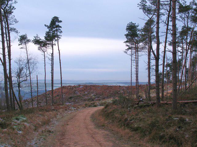 Photo could not load
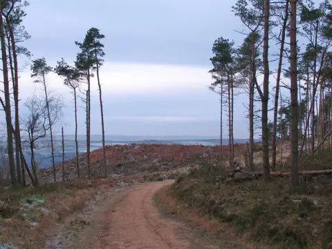
SE2151 : Forest track, Norwood Edge
Gordon Hatton
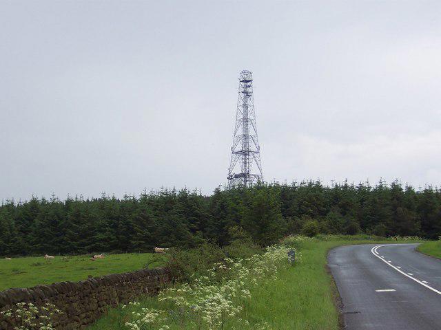 Photo could not load
SE2151 : Mast on Norwood Edge
Chris Heaton
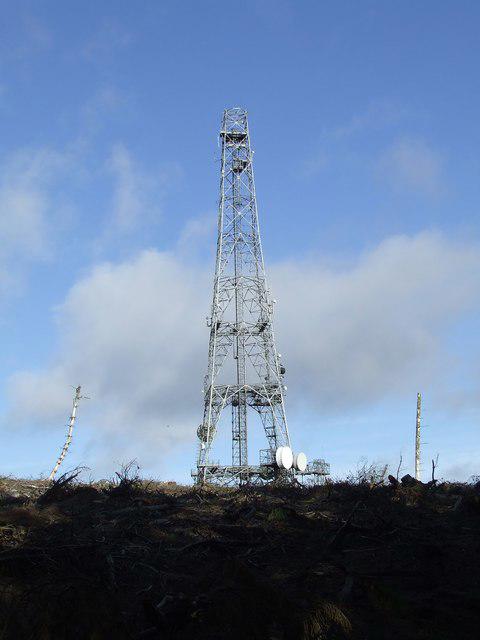 Photo could not load
SE2151 : Norwood Edge radio mast
Roger Nunn
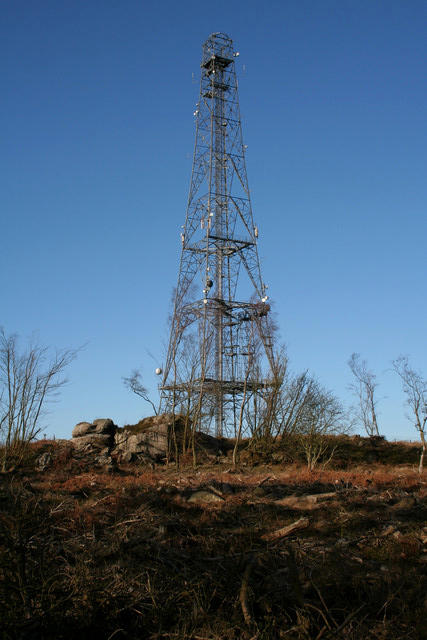 Photo could not load
SE2151 : Norwood Edge Transmitter
Mark Anderson
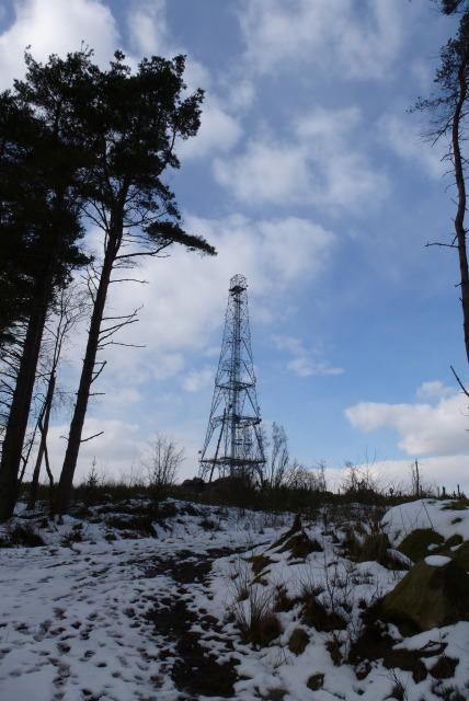 Photo could not load
SE2151 : Communications mast
DS Pugh
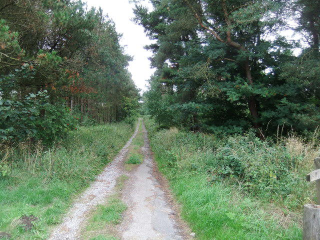 Photo could not load
SE2051 : Track to the mast and reservoir
David Brown
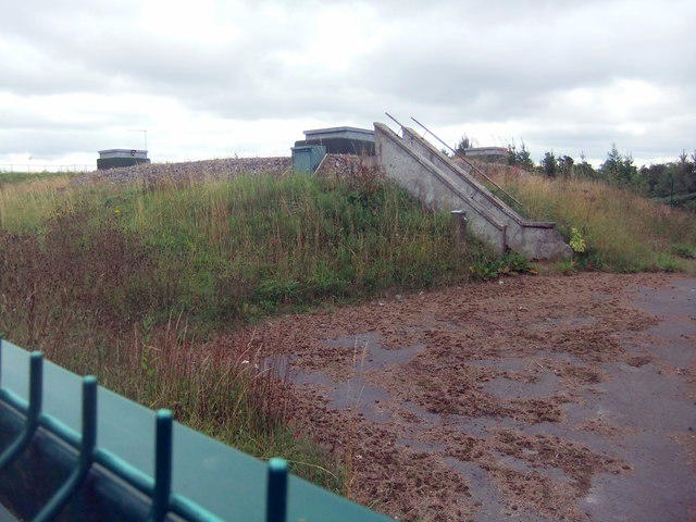 Photo could not load
SE2151 : Covered reservoir, Lindley Moor
David Brown
Hill facts and local notes
Classifications
Elevation
292m
958 ft
Prominence
113m
Coordinates
53.9587, -1.6804
SE210514
OS Map
104
Explorer: 297
At the Summit
The summit is adorned with a historic stone cairn, which serves as a perfect spot for a well-deserved rest and a photo op to impress your friends back at the office.
Terrain & Geology
The area features a mix of gritstone and sandstone, dating back to the Carboniferous period. The rocky outcrops and hillsides are testament to the area's ancient geological history, and fossils can occasionally be spotted when the light is just right.
Views & Scenery
On a clear day, enjoy panoramic vistas of the surrounding Yorkshire Dales, including the striking peaks of Ingleborough and Pen-y-ghent in the distance.
History & Heritage
Name Origin
The name 'Lindley' is derived from Old English, meaning 'linden clearing' or 'meadow', reflecting the area's historical agricultural roots.
Historical Significance
Lindley Moor has been a cherished local landmark for generations, providing a natural playground for walking, birdwatching, and enjoying the outdoors.
Getting There & Facilities
Check current local access restrictions, parking rules and transport timetables before travelling. These notes do not confirm public access to the summit.
Parking
There is ample parking available at the Lindley Moor car park, located just off the A635. Parking is free and provides easy access to the starting point of the trails.
Public Transport
There are bus services from nearby towns, including Huddersfield and Oldham, though they can be infrequent, so it's wise to check schedules in advance.
Nearby Facilities
The nearest facilities, including cafes and public toilets, can be found in Holmbridge, where you can refuel with a scone or two after your hike.
Safety Information
Known Hazards
- Watch out for wet patches, especially after rainfall, as they can be quite boggy. Some areas may also be uneven underfoot.
General Safety Tips
- Check weather conditions before setting out
- Carry appropriate clothing and equipment
- Let someone know your planned route
- Take a map, compass, and GPS device
- Carry emergency supplies: food, water, first aid kit, torch
Hills
Some common questions about the hills answered
Are there group walks up Lindley Moor?
Many walkers use Walkmates to join or organise walks with others. You can check for group walks around Lindley Moor through the maps
Are there other walkers around Lindley Moor?
Activity varies by location and time, but Walkmates lets you see whether others have shared walks or shown interest in this area. Find other people through the walking friends search walking friends for Lindley Moor search or of course create your own walk for Lindley Moor
Can I organise a walk to Lindley Moor?
Yes. If there aren’t any walks listed already, you can create a walk and make it available for others to join.
If you're signed up to Walkmates, you can create a walk to Lindley Moor.
How do I find a walk up this hill?
There are often multiple ways to walk this hill, depending on experience and route preference. Walkmates helps you explore walks and routes that others have shared.
Can I suggest a new route up Lindley Moor?
Yes. You can suggest or create routes to share with others. Walkmates focuses on the social side of walking, so routes are used to help people organise walks and explore areas together, rather than as detailed navigation tools or route libraries.
Other uses really appreciate knowledgeable walkers sharing their routes. Share your favourite route to Lindley Moor here
The is an error or something incorrect about this hill. How do I let you know?
We always strive to keep the information on Walkmates as accurate as possible. If you find an error, please let us know through the contact form and we'll aim to correct it as quickly as possible
Community Discussion
Comments
Location
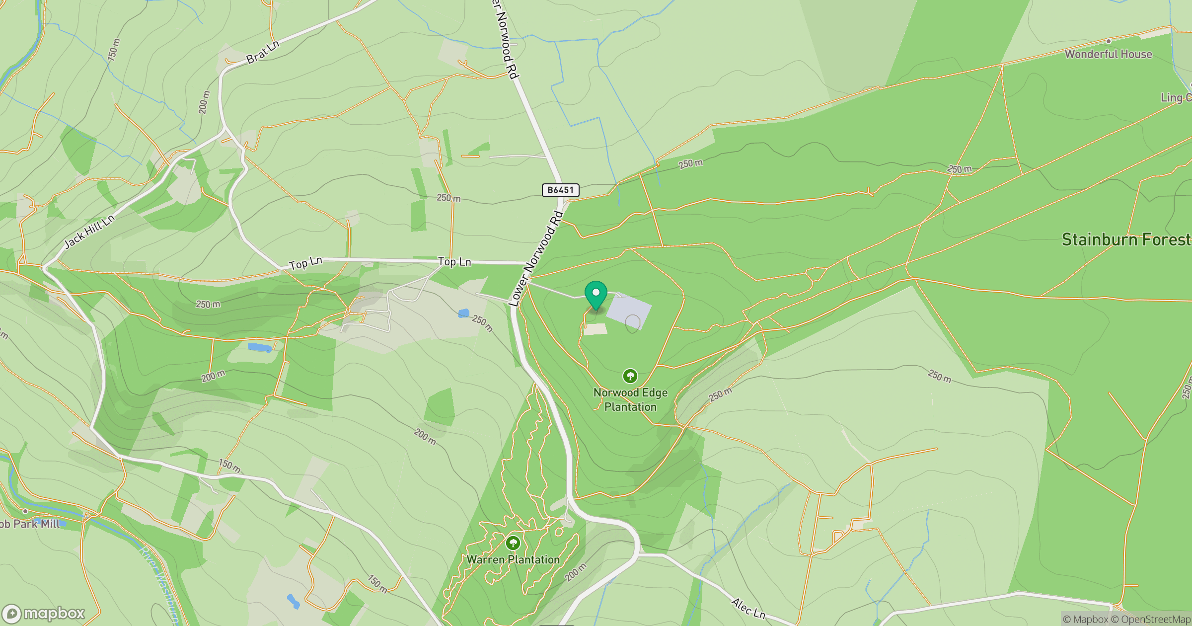
Grid reference: SE210514
View on OpenStreetMapOpens a map in a new tab, centred on the hill.
Hills within 30 km
Straight-line distance, not a walking route or confirmation of access.
Rombalds Moor [Ilkley Moor]
402m
The Chevin
282m
Simon's Seat
485m
Skipton Moor
373m
Cracoe Fell
508m
No comments yet. Be the first.