

Knock of Braemoray
Good walks are even better shared.
Overview
Knock of Braemoray
Overview
Nestled in the Moray region of Scotland, Knock of Braemoray stands at a respectable 464 meters. Known affectionately as a 'Marilyn', it makes for a delightful outing for both seasoned hikers and those just out for a gentle stroll. The peak may not boast the stature of its taller neighbours, but it offers some of the finest views the region has to offer.
Geology
The mountain's granite foundation gives rise to its rugged beauty, with glacial features hinting at a fascinating geological past. As you explore, you may stumble across unique rock formations and perhaps even a few curious critters calling this area home.
Routes
There are multiple routes to the top, with the easiest starting from Braemoray Road, offering a manageable incline over approximately 4.5 kilometers. For those seeking a little more challenge, the Dava Way route provides both exercise and picturesque landscapes, stretching a bit longer at 6.0 kilometers.
Summit Features
At the summit, hikers can find a well-constructed cairn and an old trig point, perfect for that celebratory selfie after conquering this petite titan.
Terrain
The terrain varies from grassy slopes to rocky sections, ideal for those looking to enjoy a bit of nature’s eclectic mix. Just be sure to watch your step on rocky outcroppings – not all places are as forgiving as your grandma’s kitchen.
Views
The summit unveils spectacular views, particularly striking when the heather is in bloom during late spring. Keep your eyes peeled for majestic landmarks like the Cairngorms and the Moray Firth that lay sprawled out before you.
Hazards
Do be wary of boggy areas, and tread carefully on the rocky bits – there's no need for a surprise acrobatics display while you're out enjoying nature!
Access and Facilities
Parking is available at Braemoray Road, though public transport options are scarce. The closest town, Forres, offers a variety of cafés for your post-hike treat.
History
The name ‘Braemoray’ connects it to the overarching Moray region, with rich local folklore that makes you appreciate the land even more.
So, lace up those hiking boots and be prepared for an adventure that’s as thrilling as it is picturesque. Happy hiking!
Explore routes near Knock of Braemoray
Public walks starting within 80 km of this hill. Nearby does not mean a route reaches the summit; check its map and access before setting out.
Culbin Forest: Hill 99, Gravel Pit Ponds and Dragonfly Pool
View route
Findhorn guided night walk
View route
Aberlour to Carron Bridge: Speyside Way riverside return
View route
Elgin guided night walk
View route
Route planning notes
These notes describe possible approaches, not verified navigable routes or permission to cross land. Check current paths, local access rules and conditions before setting out.
Braemoray Road Start
Starting off at Braemoray Road, this easy route winds upwards with gentle slopes, perfect for a leisurely walk.
Dava Way Access
This moderate route follows part of the Dava Way, offering lovely views and a chance to enjoy some local flora and fauna along the way.
Make a day of it, together
Find someone to share the walk with, or organise a day out along a route you like.
Photo Gallery
View all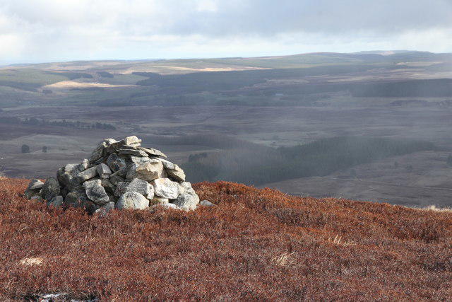 Photo could not load
NJ0141 : Knock of Braemoray Summit
Alan Hodgson
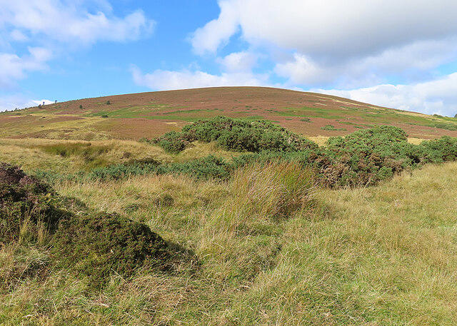 Photo could not load
NJ0141 : Knock of Braemoray
Anne Burgess
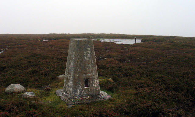 Photo could not load
NJ0141 : Summit area of Knock of Braemoray
Trevor Littlewood
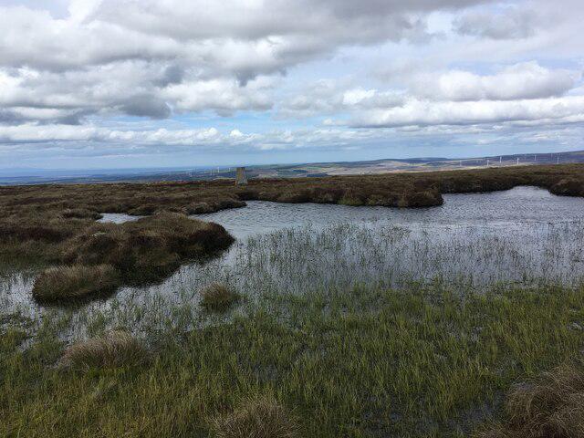 Photo could not load
NJ0141 : Summit of Knock of Braemoray
Steven Brown
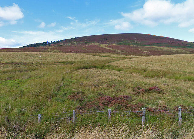 Photo could not load
NJ0141 : Knock of Braemoray
Anne Burgess
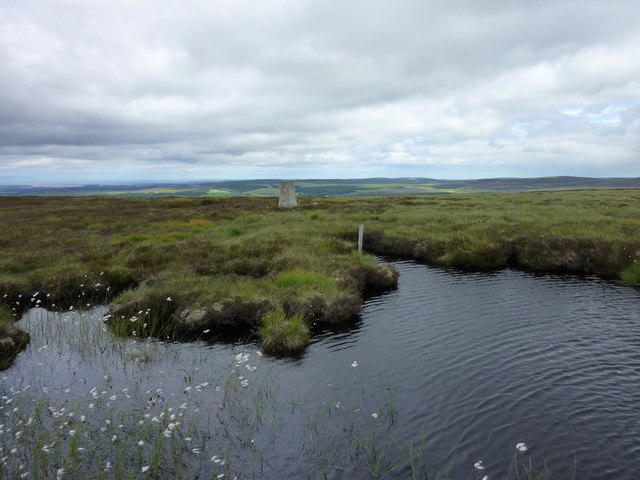 Photo could not load
NJ0141 : Summit of the Knock of Braemoray
I A Smellie
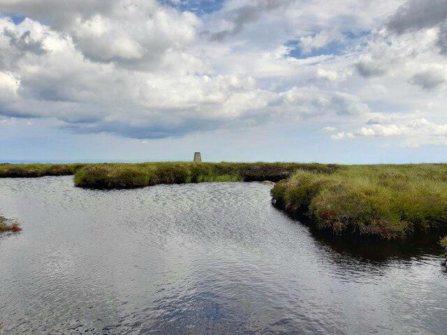 Photo could not load
NJ0141 : Knock of Braemoray
David Bremner
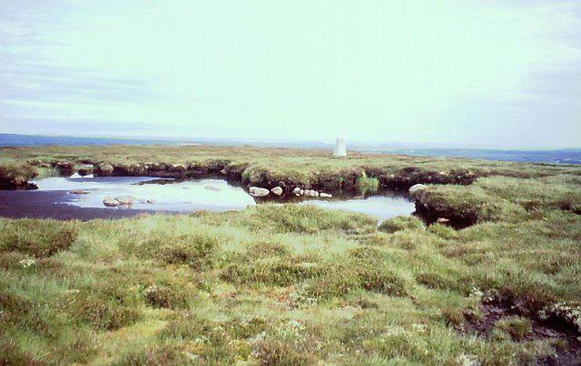 Photo could not load
NJ0141 : Triangulation pillar, Knock of Braemoray
Richard Webb
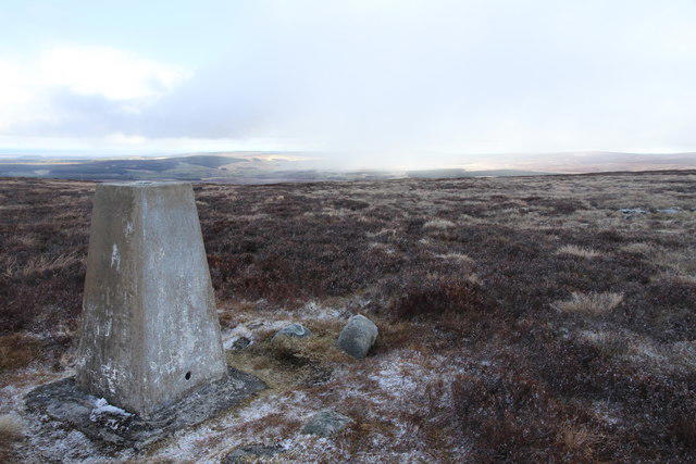 Photo could not load
NJ0141 : Triangulation Pillar on Knock of Braemoray
Alan Hodgson
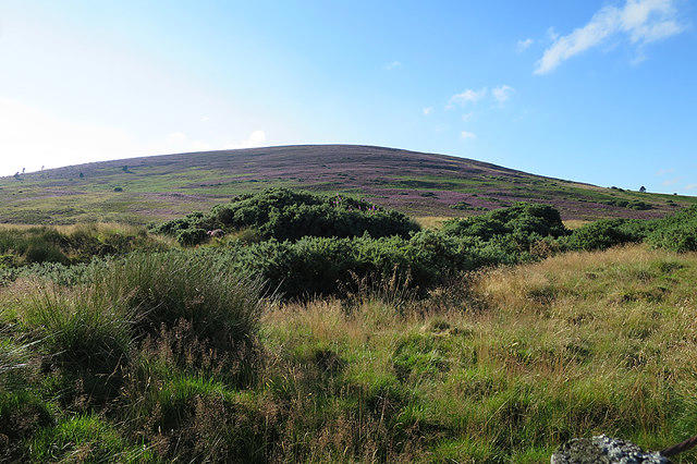
NJ0141 : Knock of Braemoray
Anne Burgess
Hill facts and local notes
Classifications
Elevation
456m
1,496 ft
Prominence
169m
Coordinates
57.4551, -3.6485
NJ011417
OS Map
27
Explorer: OL60 OL61N 418 419N
At the Summit
The summit features a classic Scottish cairn made of local stones, providing an excellent spot for a celebratory snack. An old trig point rests nearby, adding a touch of historical significance to your hike.
Terrain & Geology
The bedrock of Knock of Braemoray is predominantly granite, which contributes to its rugged landscape. The mountain features some interesting glacial features from the last Ice Age, giving it a distinctive profile in the surrounding scenery.
Views & Scenery
From the summit, you can enjoy sweeping views of the Moray Firth, the Cairngorms to the south, and on a clear day, even catch a glimpse of Ben Rinnes to the southwest.
History & Heritage
Name Origin
The name 'Braemoray' is derived from the Scottish Gaelic 'Bràighean Moireach', meaning 'hills of Moray'.
Historical Significance
The area is steeped in local folklore, believed to have been a meeting point for ancient clans during times of unrest.
Getting There & Facilities
Check current local access restrictions, parking rules and transport timetables before travelling. These notes do not confirm public access to the summit.
Parking
There is parking available at the start of Braemoray Road, which accommodates several vehicles. Don't forget to take your litter home to keep this beautiful area pristine!
Public Transport
Public transport is limited, but you can take a bus to Forres, and from there it’s about a 10km walk or a short taxi ride to the trailhead.
Nearby Facilities
While there are no facilities directly on the mountain, Forres offers several cafes, restaurants, and public toilets. A hot drink after a hike is always a splendid idea.
Safety Information
Known Hazards
- Watch out for boggy spots in wet seasons, and take care on rocky outcrops where footing can be precarious.
General Safety Tips
- Check weather conditions before setting out
- Carry appropriate clothing and equipment
- Let someone know your planned route
- Take a map, compass, and GPS device
- Carry emergency supplies: food, water, first aid kit, torch
Hills
Some common questions about the hills answered
Are there group walks up Knock of Braemoray?
Many walkers use Walkmates to join or organise walks with others. You can check for group walks around Knock of Braemoray through the maps
Are there other walkers around Knock of Braemoray?
Activity varies by location and time, but Walkmates lets you see whether others have shared walks or shown interest in this area. Find other people through the walking friends search walking friends for Knock of Braemoray search or of course create your own walk for Knock of Braemoray
Can I organise a walk to Knock of Braemoray?
Yes. If there aren’t any walks listed already, you can create a walk and make it available for others to join.
If you're signed up to Walkmates, you can create a walk to Knock of Braemoray.
How do I find a walk up this hill?
There are often multiple ways to walk this hill, depending on experience and route preference. Walkmates helps you explore walks and routes that others have shared.
Can I suggest a new route up Knock of Braemoray?
Yes. You can suggest or create routes to share with others. Walkmates focuses on the social side of walking, so routes are used to help people organise walks and explore areas together, rather than as detailed navigation tools or route libraries.
Other uses really appreciate knowledgeable walkers sharing their routes. Share your favourite route to Knock of Braemoray here
The is an error or something incorrect about this hill. How do I let you know?
We always strive to keep the information on Walkmates as accurate as possible. If you find an error, please let us know through the contact form and we'll aim to correct it as quickly as possible
Community Discussion
Comments
Location
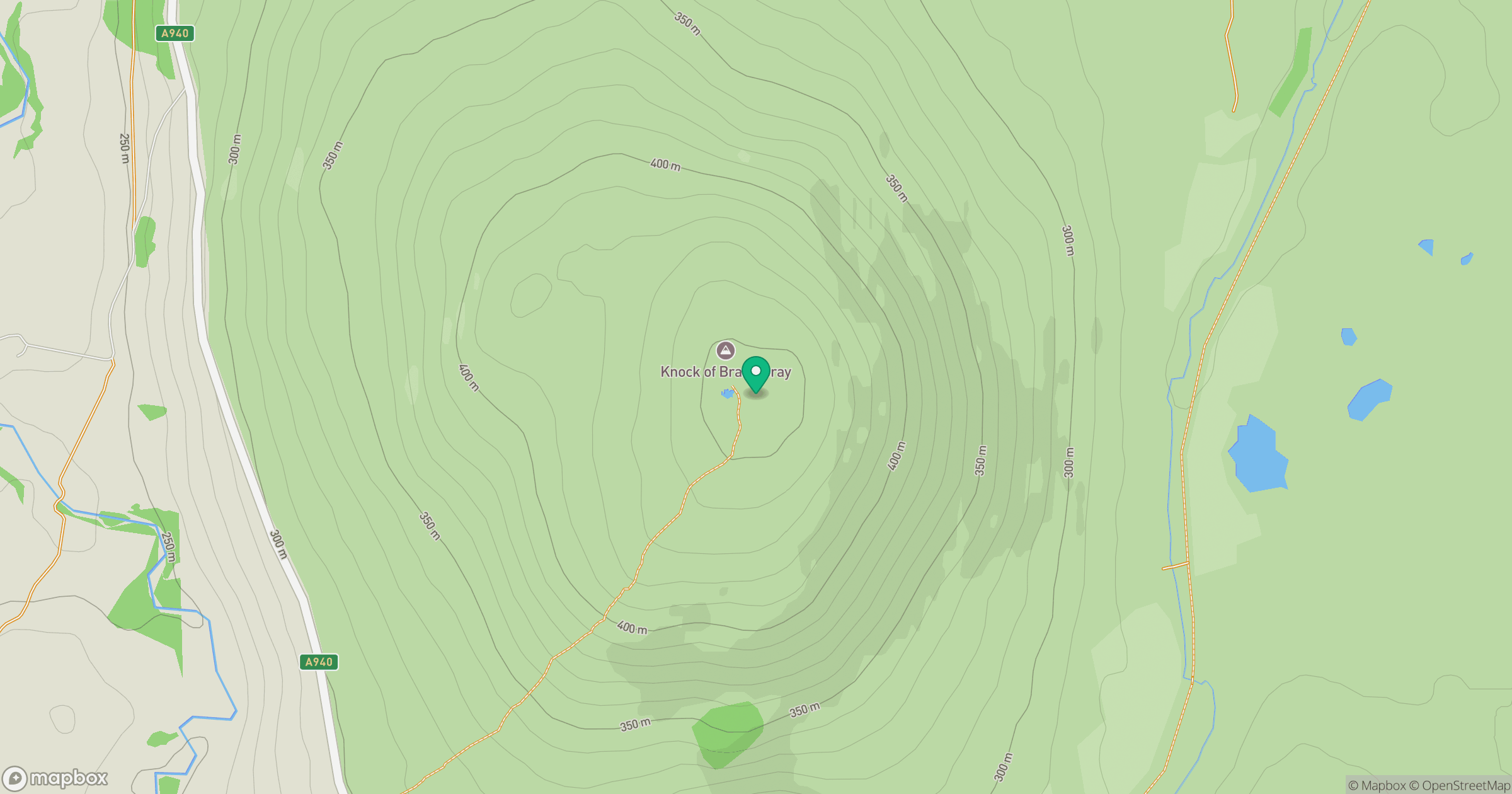
Grid reference: NJ011417
View on OpenStreetMapOpens a map in a new tab, centred on the hill.
Hills within 30 km
Straight-line distance, not a walking route or confirmation of access.
No comments yet. Be the first.