

Juniper Hill
Good walks are even better shared.
SO8708 : Quarry in woods
Mike White Photo source
Overview
Overview
Juniper Hill is a charming Marilyn located in the North Wessex Downs, England, just outside the quaint village of Wootton Rivers. Standing at a modest 200 meters, it may not be the highest hill on the block, but what it lacks in elevation, it makes up for with scenic beauty and tranquility.
Geology
This hill is primarily composed of chalk, a soft, white rock that adds to the area's distinctive landscape. The flint embedded within also tells stories of ancient marine environments that once blanketed this region. Simply put, if the ground could talk, we’d be in for a history lesson!
Routes
The Juniper Hill Circular Walk is a fantastic way to enjoy the area, taking approximately 2 hours to complete. This route weaves through beautiful countryside, allowing you to soak in the sights and sounds of rural England with each step.
Summit Features
While there's no towering monument at the top, the wooden marker ensures you know you've arrived. It’s a reminder that sometimes, less is more, especially when surrounded by nature.
Terrain
Expect lush grass underfoot, peppered with classic chalk downland. It's a gentle trek that’s great for walkers of all abilities—just remember that getting a bit muddy is part of the adventure!
Views
The views from the summit are nothing short of spectacular. Far-reaching across the North Wessex Downs and on a clear day, the Uffington White Horse is a highlight in the distance. It’s a perfect spot for a picnic, provided you don’t mind sharing with any inquisitive sheep!
Hazards
Keep your eyes peeled for farm vehicles buzzing by on access paths, and watch out for slippery spots in wet weather. A little caution goes a long way in keeping the mud from making your shoes too close to the ground!
Access
You’ll find adequate parking in Wootton Rivers, along with public transport options available at Pewsey station. This means you can travel without worrying about who’s the designated driver—definitely a plus after a long hike!
Facilities
The village of Wootton Rivers has a lovely café for refuelling, and facilities such as toilets are conveniently located nearby, ensuring you can comfortably enjoy your outdoor adventure.
History
The name 'Juniper' hails from the trees that gave life and fragrance to this landscape. With a deep history linked to agriculture and traditional medicine, this area is not just a pretty face in the countryside.
Conclusion
Juniper Hill may not be the highest peak, but it certainly offers a delightful escape into nature. Whether you’re hunting for a scenic walk, a historical outing, or just a clever spot to enjoy a sandwich, this hill is well worth a visit. Just remember your camera—you’ll want to capture those views!
Explore routes near Juniper Hill
Walks starting near this hill. Open a route to check its map, distance and full itinerary.
Woodchester Park: Tinkley Gate, lakes and Mansion woodland walk
View route
Cirencester Walk with Men Walking & Talking
View route
Cheltenham Walk with Men Walking & Talking
View route
Winchcombe and Belas Knap: Cotswold Way and Sudeley Valley circuit
View route
Route planning notes
These notes describe possible approaches. Check a route's map and access information when planning your walk.
Juniper Hill Circular Walk
A delightful loop starting from the village of Wootton Rivers, offering a mix of trails through lush countryside.
Make a day of it, together
Find someone to share the walk with, or organise a day out along a route you like.
Photo Gallery
View all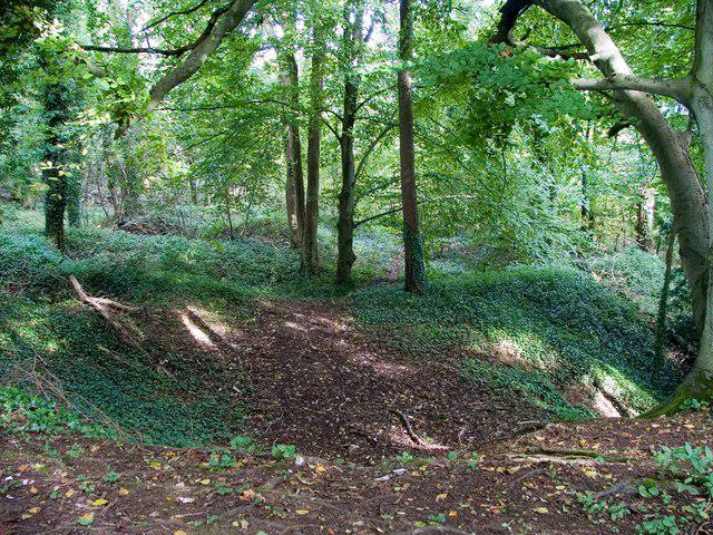 Photo could not load
SO8708 : Quarry in woods
Mike White
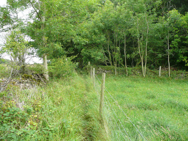 Photo could not load
SO8607 : Footpath approaching nature reserve woodland, Slad
Humphrey Bolton
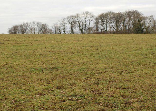 Photo could not load
SO8608 : Field beside The Frith
Derek Harper
Hill facts and local notes
Classifications
Elevation
232m
761 ft
Prominence
45m
Coordinates
51.7711, -2.1909
SO869080
OS Map
162
Explorer: 179
At the Summit
The summit is marked by a modest mound with a small wooden marker. It may not be as grand as some peaks, but it has a lovely sense of peace and solitude.
Terrain & Geology
Primarily composed of chalk and flint, the geology here reflects the area's agricultural heritage. You'll notice the layers as you ascend, providing an intriguing glimpse into the Earth's history—who knew the ground beneath your feet could be so chatty?
Views & Scenery
On a clear day, you can see far across the rolling hills of the North Wessex Downs, with the iconic White Horse of Uffington in the distance.
History & Heritage
Name Origin
The name 'Juniper' likely derives from the Juniper trees that once flourished in the area. These trees, with their distinctive aroma, have a long history in traditional medicine.
Historical Significance
Historically, the area has been important for agriculture dating back to prehistoric times, with nearby sites such as the Uffington White Horse steeped in folklore and legend.
Getting There & Facilities
Parking
There is a small car park at the village of Wootton Rivers, just a short walk from the start point of the trail.
Public Transport
The nearest train station is Pewsey, with regular service from London. A local bus service runs to Wootton Rivers.
Nearby Facilities
Wootton Rivers has a lovely café offering light refreshments; plus, there's a toilet available at the village hall.
Safety Information
Known Hazards
- Watch for fast-moving farm vehicles on access paths. Additionally, during wet conditions, the terrain may become slippery. Remember, mud is not your friend unless you’re wearing wellies!
General Safety Tips
- Check weather conditions before setting out
- Carry appropriate clothing and equipment
- Let someone know your planned route
- Take a map, compass, and GPS device
- Carry emergency supplies: food, water, first aid kit, torch
Hills
Some common questions about the hills answered
Are there group walks up Juniper Hill?
Many walkers use Walkmates to join or organise walks with others. You can check for group walks around Juniper Hill through the maps
Are there other walkers around Juniper Hill?
Activity varies by location and time, but Walkmates lets you see whether others have shared walks or shown interest in this area. Find other people through the walking friends search walking friends for Juniper Hill search or of course create your own walk for Juniper Hill
Can I organise a walk to Juniper Hill?
Yes. If there aren’t any walks listed already, you can create a walk and make it available for others to join.
If you're signed up to Walkmates, you can create a walk to Juniper Hill.
How do I find a walk up this hill?
There are often multiple ways to walk this hill, depending on experience and route preference. Walkmates helps you explore walks and routes that others have shared.
Can I suggest a new route up Juniper Hill?
Yes. You can suggest or create routes to share with others. Walkmates focuses on the social side of walking, so routes are used to help people organise walks and explore areas together, rather than as detailed navigation tools or route libraries.
Other uses really appreciate knowledgeable walkers sharing their routes. Share your favourite route to Juniper Hill here
The is an error or something incorrect about this hill. How do I let you know?
We always strive to keep the information on Walkmates as accurate as possible. If you find an error, please let us know through the contact form and we'll aim to correct it as quickly as possible
Community Discussion
Comments
Location
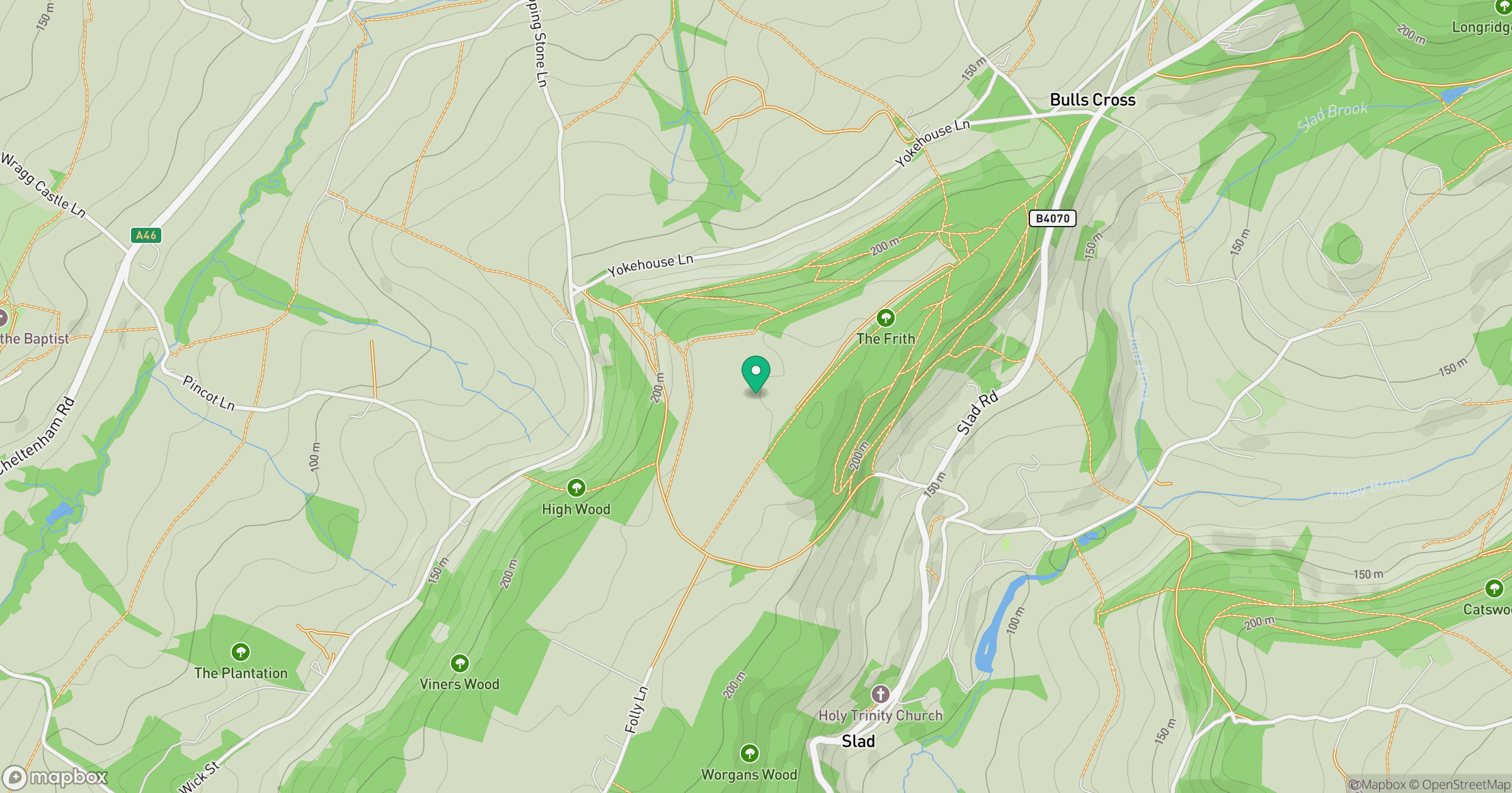
Grid reference: SO869080
View on OpenStreetMapOpens a map in a new tab, centred on the hill.
Nearby Hills
Worcestershire Beacon
425m
Titterstone Clee Hill
533m
Glastonbury Tor
158m

The Wrekin
407m
Long Mynd - Pole Bank
517m
No comments yet. Be the first.