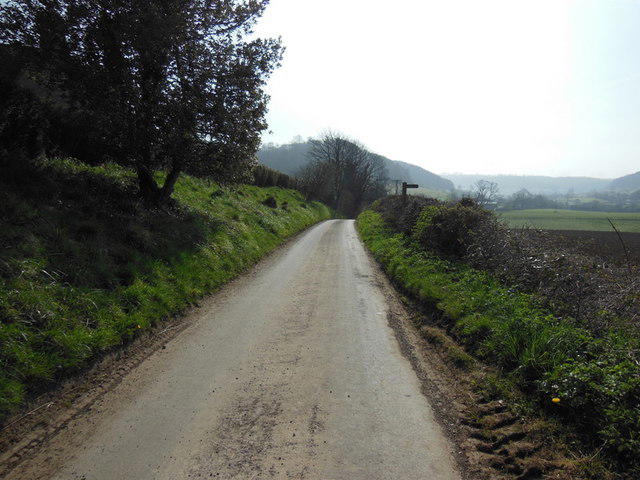
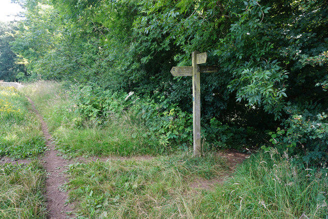
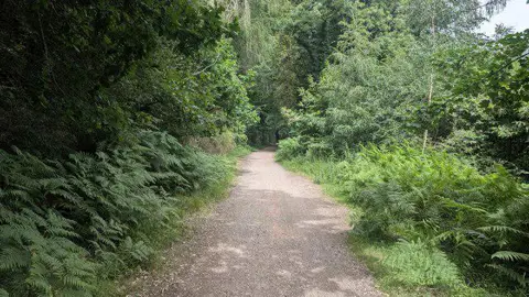
Follow the full Cotswold Way stage from Dursley to Wotton-under-Edge, taking the scenic perimeter route around Stinchcombe Hill. After the climb out of Dursley, the path opens to views across the Severn Vale, then drops through fields and woodland to North Nibley. Follow the signed Wood Lane route up towards the Tyndale Monument before continuing over Wotton Hill and down into town. The plotted walk measures 12.0 km; allow around four hours of walking, plus breaks. There are several steep climbs and descents, muddy paths, gates and steps. Town streets and short lane sections include a pavement-free stretch of the B4060 on the approach to Wotton, so take particular care around traffic. This is a one-way walk: check your return transport before setting off.
Start: Begin on the public pedestrian route at Market Place/Parsonage Street beside Dursley Market House, OSM node 1221206490, 51.6813974, -2.3542171. This is a named town-centre access point on the National Trail.
Parking: May Lane car park, on Hill Road, Dursley GL11 4JQ, is a short walk west of the start. The approach from parking is outside the plotted stage. The current council parking directory gives no tariff for this car park; no claim of free parking is made. Check the on-site signs for current charges and restrictions. Stroud District Council lists a maximum stay of 23 hours, with no return within 1 hour. This is a parking limit, not a verified barrier-opening schedule.
Finish in Wotton-under-Edge centre where High Street meets Long Street and Market Street, OSM node 20984211, 51.6380136,-2.3538535. Remain on the pavement. Road-centreline geometry represents the street corridor, not a place to stand in traffic. No onward section towards Wortley, pub extension or return-bus connection is added.
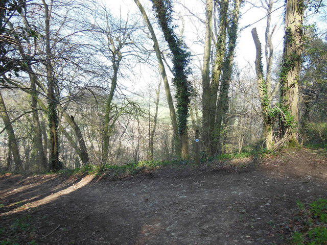
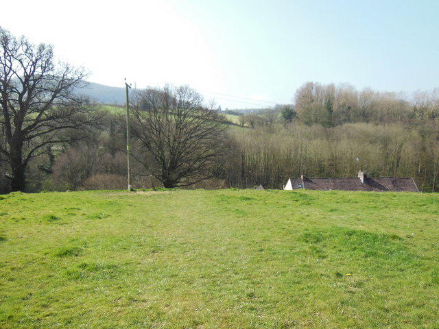
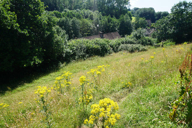
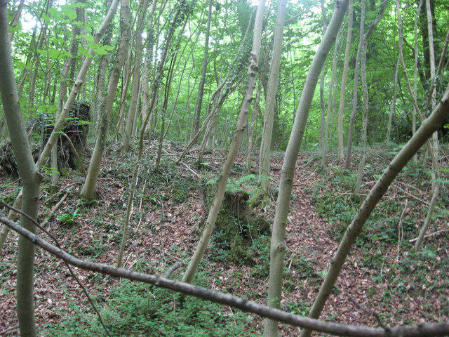
Terrain and timing: Grass and earth footpaths, bridleways, woodland tracks, gates, bridge and steps, with town pavements and short shared-road sections. Steep climbs out of Dursley and North Nibley and a stepped descent from Wotton Hill. Exposed hilltop and muddy or slippery ground in poor weather. Editorial estimate of 3.5–4.5 walking hours; 240 minutes is a planning value, not an official timed walk.
This is the complete scenic Stinchcombe Hill perimeter stage. The shorter neck-of-hill route is a different option and is not used to generate or pad the distance.
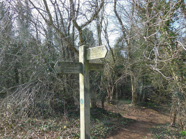
At North Nibley, use the current signed Wood Lane line, public bridleway CNN30 and footpath CNN64, before continuing past the Tyndale Monument. Do not take the old northern path affected by the 2013 landslip. Climbing the monument is optional and not part of the track or promised access.
Use town pavements wherever available. The selected B4060 Bradley Road/Gloucester Street corridor on the northern entry to Wotton includes approximately 68 m mapped with no pavement or shoulder. There are also short narrow rural road links near Park Lane and Lower House Lane. Follow local signs and wait for a safe opportunity at road crossings.
Mapped steps include four at Wood Lane and separate flights of eight, eleven and four on the Wotton Hill descent, some without handrails. No step-free or pushchair suitability claim.
Stinchcombe Hill has an active golf course: stay on the signed walking line and be alert to golfers and flying balls. Keep dogs controlled and follow livestock, wildlife and local dog signs.
The official trail index and Gloucestershire County Council closure text were checked on 23 October 2026. The signed North Nibley reroute is included; Birdlip, Wortley and Tormarton notices concern other reaches. No blocking notice was identified in the checked text, but the council map-only temporary-closure layer was not inspected. Check current notices and obey on-site signs; this is not a same-day access guarantee.
Arrange the one-way return before departure. Public transport, parking tariffs, daylight and weather should be checked for the actual walking date. Bus stops and car parks are not additional route legs.
Return transport: Plan the return before starting this one-way walk. Wotton-under-Edge Town Council links a Dursley–Thornbury bus timetable, and Stagecoach identifies route 60. Check the actual walking date, direction, departure point and last bus; do not assume a daily or frequent service. A prearranged lift or taxi is another option. No exact departure times, fares, Sunday operation or service reliability verified.
For a two-car arrangement, Stroud District Council lists a separate 23-hour long-stay section at The Chipping, Symn Lane, Wotton GL12 7AD. Avoid confusing it with the adjacent 3-hour section. Wotton Town Council describes town car parks as free; check signs and current limits.
Distance: The official stage is nominally 11.8 km. The full current mapped line between the specified town-centre points measures 12.015 km. The shorter 7.8 km Stinchcombe shortcut is a different route. No extra return-transport legs are included.
Information checked on 23 October 2026. The council map-only temporary-path-closure layer was not inspected. The text-notice review is not an all-clear or same-day access guarantee. No field inspection; same-day mud, storm damage, gates or temporary works can change access. No measured elevation profile or universal dog-policy assertion. Road-source geometry is not lane-level pavement geometry; follow pavements and signed safe crossings.
Route and visitor sources:
GOV.UK: Cotswold Way National Trail: https://www.gov.uk/government/publications/visit-a-national-trail-in-england/cotswold-way-national-trail
National Trails: Cotswold Way route sections: https://www.nationaltrail.co.uk/en_GB/trails/cotswold-way/route/
National Trails: Cotswold Way information: https://www.nationaltrail.co.uk/en_GB/trails/cotswold-way/trail-information/
National Trails: North Nibley permanent diversion: https://www.nationaltrail.co.uk/en_GB/short-routes/north-nibley-diversion/
Dursley Town Council: Cotswold Way town alignment: https://www.dursleytowncouncil.gov.uk/uploads/cotswold-way---full-dursley-route.pdf?v=1530536611
National Trails: North Nibley to Tyndale Monument diversion map, 17 September 2015: https://www.nationaltrail.co.uk/app/uploads/north_nibley_diversion.september2015.pdf
Stroud District Council: car parks and charges: https://www.stroud.gov.uk/parking/
Wotton-under-Edge Town Council: transport: https://wotton-under-edge.com/community/transport/
Stagecoach West: 60 Dursley–Thornbury: https://www.stagecoachbus.com/routes/west/60/dursley-thornbury/xsco060.o
Gloucestershire County Council: temporary rights-of-way closures: https://www.gloucestershire.gov.uk/prow/temporary-closures/
Gloucestershire County Council: online rights-of-way map: https://www.gloucestershire.gov.uk/prow/rights-of-way-online-map/
Cotswolds National Landscape / National Trails: Stinchcombe Hill Leaf & Ground circular walk: https://www.cotswolds-nl.org.uk/wp/wp-content/uploads/2024/11/Walk-16-Stinchcombe-Hill-Circular-Walk-LG-2024.pdf
National Trails: temporary diversion near Wortley: https://www.nationaltrail.co.uk/en_GB/short-routes/temporary-diversion-near-wortley/
Cotswolds National Landscape: Stinchcombe Hill Leaf & Ground walk: https://www.cotswolds-nl.org.uk/exploring/self-guided-route/stinchcombe-hill-leaf-ground-cotswold-way-circular-walk/
Route geometry: © OpenStreetMap contributors, licensed under ODbL 1.0. https://www.openstreetmap.org/copyright https://opendatacommons.org/licenses/odbl/1-0/
Source: https://www.openstreetmap.org/relation/65239 . All 466 source vertices retained. Listing prose is original.