
Hound Tor
Good walks are even better shared.
Overview
Hound Tor: A Hiker's Paradise
Nestled within the breathtaking Dartmoor National Park, Hound Tor is a must-visit for any outdoor enthusiast. With an elevation of 457 meters, it stands as a sentinel overlooking the rolling moors, inviting hikers to explore its rugged terrain.
Geology
Hound Tor is primarily composed of granite that dates back to the late Carboniferous to early Permian eras. The unique geological features and formations are not just visually stunning; they also tell a story of the Earth’s ancient history. Don’t forget to take a moment to admire the incredible rock formations that look like nature’s own sculptors were at work!
Access
Getting to Hound Tor is fairly straightforward. The nearest car park (Hound Tor car park at SX621894) is just a stone's throw from the start of your trek. But be warned, arriving late might see you battling for a parking spot! For public transport lovers, there are bus services from towns like Ashburton and Bovey Tracey, with the closest stop conveniently located in Manaton.
Routes
Exploring Hound Tor can be done via several routes, each varying in distance and difficulty. The Hound Tor Circular Walk offers a manageable 4.5 km jaunt around the tor, combining stunning views and the chance to spot Dartmoor's diverse wildlife. Alternatively, the Hound Tor from Manaton route gives you a direct path to the summit while immersing you in Dartmoor’s picturesque scenery.
Terrain and Hazards
Expect rocky terrain interspersed with patches of grass and heather, typical of Dartmoor's wild landscapes. However, don’t let the beauty fool you! Dartmoor’s weather can be as fickle as a cat on a hot tin roof, so keep an eye on the sky and dress accordingly.
Views and Highlights
The summit bestows panoramic views of the rolling hills of Dartmoor and, on particularly good days, even the coastline of Devon. Late spring and early autumn unveil nature's beauty with blooming heather contrasting against vibrant greenery, making it the best time for a visit.
Facilities
While you won’t find any cafes perched atop the tor, a short drive to Bovey Tracey will provide you with delightful cafes and public toilets. Keep your travel snacks handy, though; they’ll definitely come in handy after your hike!
History
The etymology of 'Hound Tor' gives a nod to its ancient past, with connections to old English meanings. Additionally, the tor has remnants of ancient settlements, offering a snapshot into Dartmoor's historical narrative.
In conclusion, whether you're a seasoned hiker or just someone looking to take in the views, Hound Tor is an unmissable adventure that combines geological wonders with rich history. Pack your boots, grab your gear, and set off on an unforgettable trek!
Explore routes near Hound Tor
Walks starting near this hill. Open a route to check its map, distance and full itinerary.
Castle Drogo and Fingle Bridge: Teign Gorge woodland circuit
View route
Moretonhampstead to Lustleigh: Wray Valley woodland railway trail
View route
Cookworthy Woods Level 2 walk
View route
Cookworthy Woods Level 3 walk
View route
Route planning notes
These notes describe possible approaches. Check a route's map and access information when planning your walk.
Hound Tor Circular Walk
A scenic circular route taking you around the tor, offering excellent views and a chance to see Dartmoor's unique flora and fauna.
Hound Tor from Manaton
Starting in the quaint village of Manaton, this route leads you directly to the summit with picturesque landscapes along the way.
Make a day of it, together
Find someone to share the walk with, or organise a day out along a route you like.
Hill facts and local notes
Classifications
Elevation
495m
1,624 ft
Prominence
21m
Coordinates
50.6846, -3.9424
SX628890
OS Map
191
Explorer: OL28N
At the Summit
The summit is marked by a prominent granite outcrop with several impressive rock formations, providing an ideal spot for a well-deserved picnic (with a view, of course).
Terrain & Geology
Hound Tor is primarily composed of granite formed during the late Carboniferous to early Permian periods. This igneous rock contributes to its distinctive rugged terrain and is a cornerstone feature of Dartmoor's iconic landscape.
Views & Scenery
From the summit, you can see the rolling hills of Dartmoor, the distant peaks of the Black Hills, and, on a clear day, even glimpse the coast of Devon.
History & Heritage
Name Origin
The name 'Hound Tor' likely derives from Old English, meaning 'hound hill', possibly relating to the rock formations resembling dogs or hounds.
Historical Significance
Hound Tor has significant archaeological interest, with remnants of ancient settlement and a historic relationship with tin mining in the region.
Getting There & Facilities
Parking
Hound Tor car park (SX621894), located just a short walk from the tor. It's advisable to arrive early during peak seasons as parking spaces can fill up quickly.
Public Transport
Bus services run from nearby towns such as Ashburton and Bovey Tracey. The nearest bus stop is at Manaton, approximately 1.5 km from Hound Tor.
Nearby Facilities
A few miles away in Bovey Tracey, you'll find cafes and public toilets. However, there are no facilities directly at the tor, so plan accordingly!
Safety Information
Known Hazards
- Beware of sudden weather changes, as Dartmoor can be notorious for its shifting conditions. Also, take care around rocky areas and boggy ground.
General Safety Tips
- Check weather conditions before setting out
- Carry appropriate clothing and equipment
- Let someone know your planned route
- Take a map, compass, and GPS device
- Carry emergency supplies: food, water, first aid kit, torch
Hills
Some common questions about the hills answered
Are there group walks up Hound Tor?
Many walkers use Walkmates to join or organise walks with others. You can check for group walks around Hound Tor through the maps
Are there other walkers around Hound Tor?
Activity varies by location and time, but Walkmates lets you see whether others have shared walks or shown interest in this area. Find other people through the walking friends search walking friends for Hound Tor search or of course create your own walk for Hound Tor
Can I organise a walk to Hound Tor?
Yes. If there aren’t any walks listed already, you can create a walk and make it available for others to join.
If you're signed up to Walkmates, you can create a walk to Hound Tor.
How do I find a walk up this hill?
There are often multiple ways to walk this hill, depending on experience and route preference. Walkmates helps you explore walks and routes that others have shared.
Can I suggest a new route up Hound Tor?
Yes. You can suggest or create routes to share with others. Walkmates focuses on the social side of walking, so routes are used to help people organise walks and explore areas together, rather than as detailed navigation tools or route libraries.
Other uses really appreciate knowledgeable walkers sharing their routes. Share your favourite route to Hound Tor here
The is an error or something incorrect about this hill. How do I let you know?
We always strive to keep the information on Walkmates as accurate as possible. If you find an error, please let us know through the contact form and we'll aim to correct it as quickly as possible
Community Discussion
Comments
Location
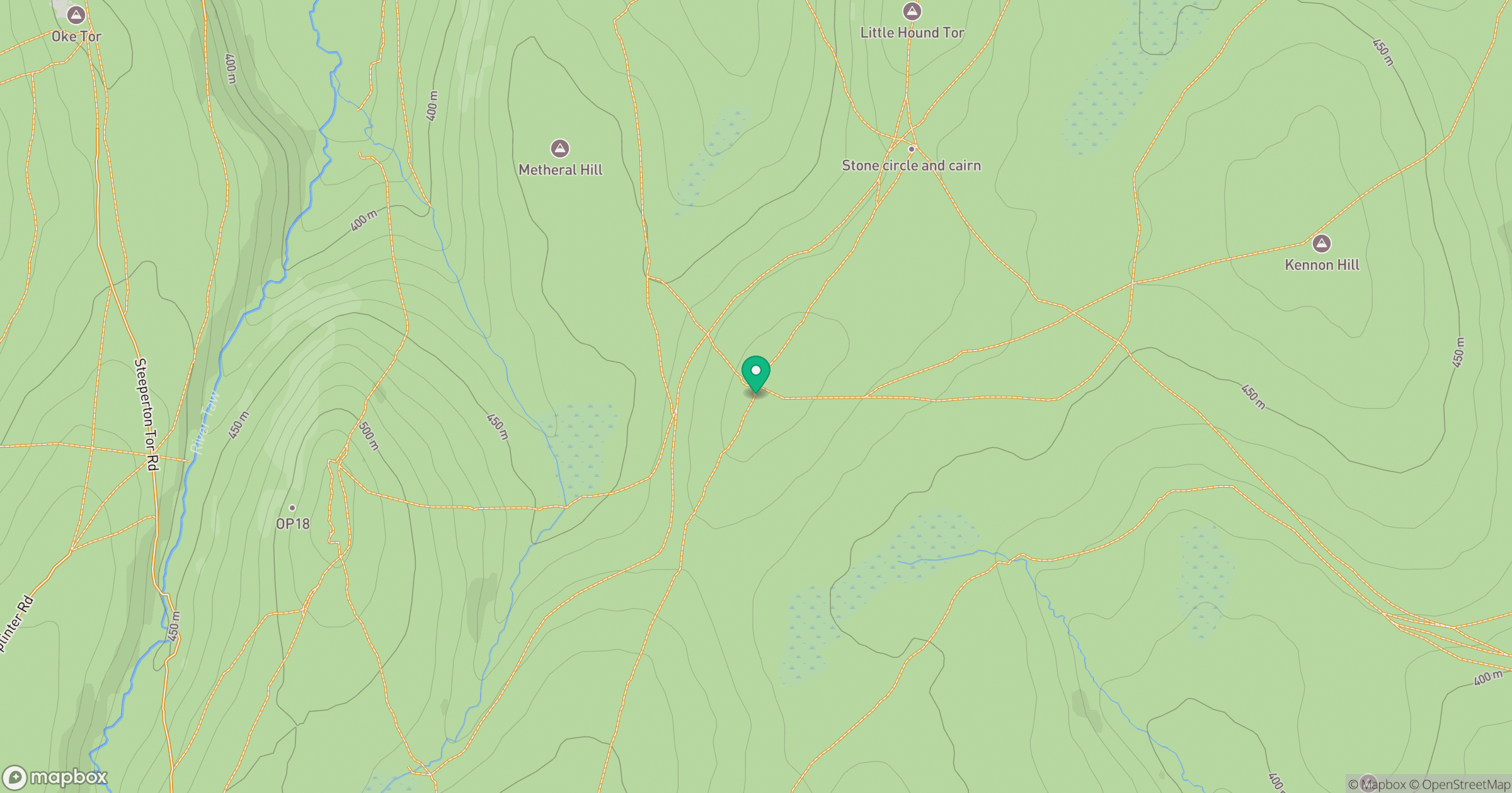
Grid reference: SX628890
View on OpenStreetMapOpens a map in a new tab, centred on the hill.
Nearby Hills

High Willhays
622m

Brent Tor
334m

Dunkery Beacon
520m
Brown Willy
420m
Rhossili Down - The Beacon
193m
No comments yet. Be the first.