

Holm Crag
Good walks are even better shared.
NY2417 : Wood Sorrel (Oxalis acetosella)
Anne Burgess Photo source
Overview
Holm Crag: A Lake District Gem
Nestled in the heart of the Lake District, Holm Crag stands proudly at 501 meters. This Wainwright beauty combines rugged terrain with breathtaking views, providing an ideal escape for hikers looking to relish the tranquillity of nature.
Geology
Holm Crag's rocky façade is formed primarily from volcanic rock, specifically andesite. These geological features are remnants of ancient volcanic activity, adding an intriguing aspect to your hike. Don't worry; it’s dormant now—no volcanoes to dodge!
Access
Parking is straightforward, with plenty of spaces at Ennerdale Bridge. Just make sure you don’t take too long admiring the views lest you miss the first leg of your adventure. For those relying on public transportation, be prepared for limited options, so check local bus timetables before setting off.
Routes
One popular route is the Caw Fell Circular, which covers roughly 12 km and offers a moderate challenge. This path winds through picturesque valleys and forests, providing a fitting prelude before tackling the crag itself. Expect to spend about 4.5 hours soaking in the sights, sounds, and pure joy of it all.
Summit Features
At the summit, you’ll find a quaint cairn proudly standing guard over the landscape, perfect for that triumphant selfie to prove you made it!
Terrain
The terrain is a mixture of rocky outcrops with some lush grassy areas thrown in for good measure—though watch your step on the rocks, as they can be a tad treacherous!
Views
The panoramic views from Holm Crag do not disappoint. Gaze upon Ennerdale Water, the sweeping expanse of the valley, and towards the imposing Scafell range. Late spring and early autumn are the prime times to enjoy these sights, avoiding the misty obscurity that occasionally plagues the region.
Hazards
As always, a few words of caution—the terrain can be uneven, with loose stones, particularly towards the summit. Make sure your footwear is up to scrabble over these rocky outcrops, and it wouldn’t hurt to check the weather beforehand to avoid getting soaked!
Facilities
Before you head back from this adventure, swing by one of the local pubs or cafés where you can treat yourself to a slice of cake (or two) and a well-deserved drink.
History
Holm Crag carries with it a tale of ancient settlements and connections to traditional sheep farming, enriching your adventure with a touch of history.
In summary, whether you’re seeking solitude or adventure, Holm Crag provides a splendid palette of nature’s offerings. So grab your boots, pack your sense of humour, and hit the trails—you won’t regret it!
Explore routes near Holm Crag
Walks starting near this hill. Open a route to check its map, distance and full itinerary.
Scafell Pike from Seathwaite via the Corridor Route
View route
Whinlatter dark skies walk
View route
Whinlatter dark skies walk
View route
Bow Fell from Langdale
View route
Route planning notes
These notes describe possible approaches. Check a route's map and access information when planning your walk.
Caw Fell Circular
A scenic circular route starting from the village of Ennerdale Bridge, winding through lush green valleys with stunning views of the surrounding peaks.
Make a day of it, together
Find someone to share the walk with, or organise a day out along a route you like.
Photo Gallery
View all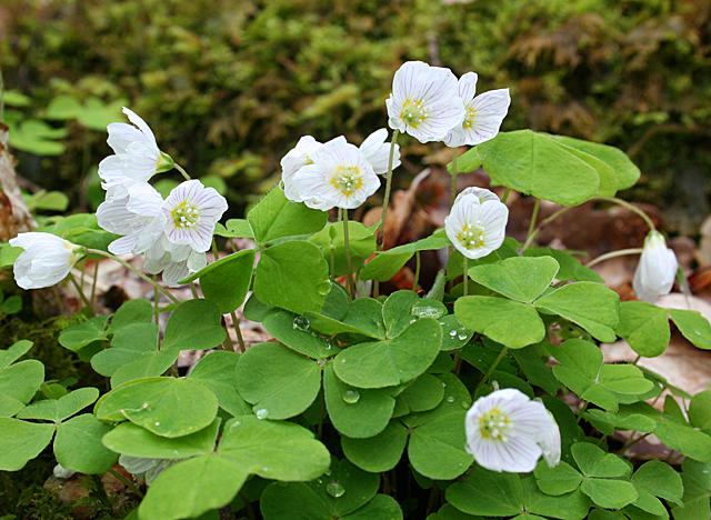 Photo could not load
NY2417 : Wood Sorrel (Oxalis acetosella)
Anne Burgess
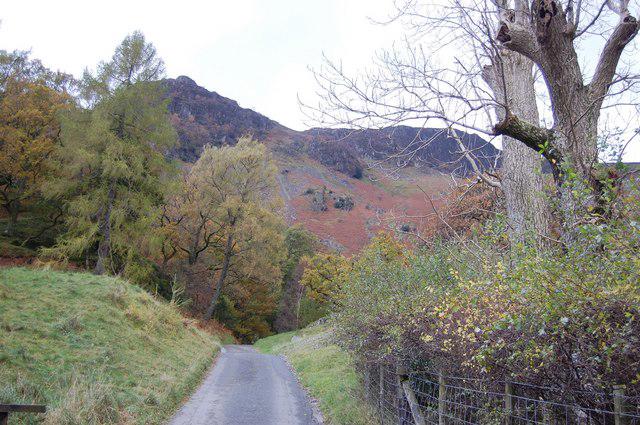 Photo could not load
NY2417 : The Road to Hollows Farm
Trevor Harris
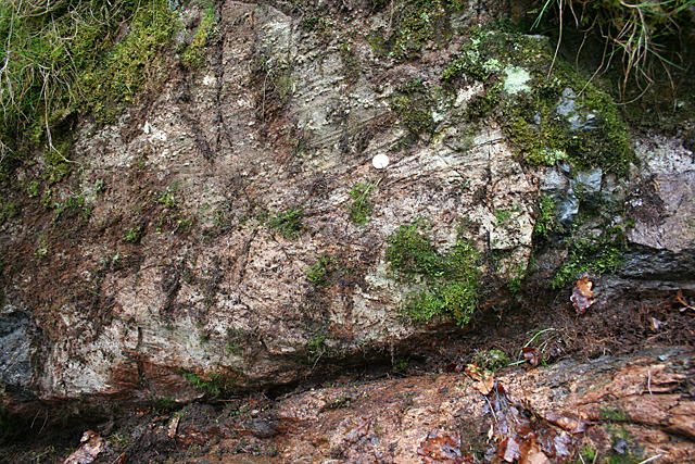 Photo could not load
NY2417 : SKG-BVG Unconformity
Anne Burgess
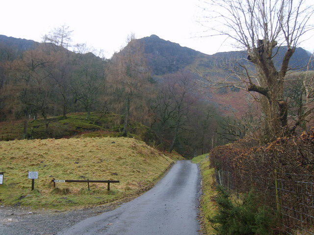 Photo could not load
NY2417 : Road to Hollows Farm
Michael Graham
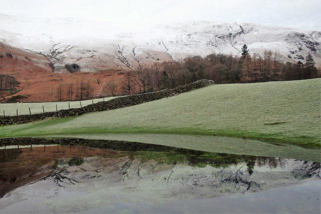 Photo could not load
NY2517 : Pond near Grange
Michael Graham
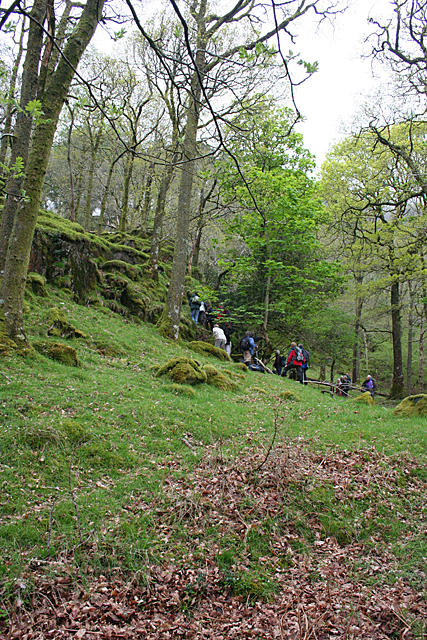 Photo could not load
NY2417 : If You Go Down to Scarbrow Wood Today ...
Anne Burgess
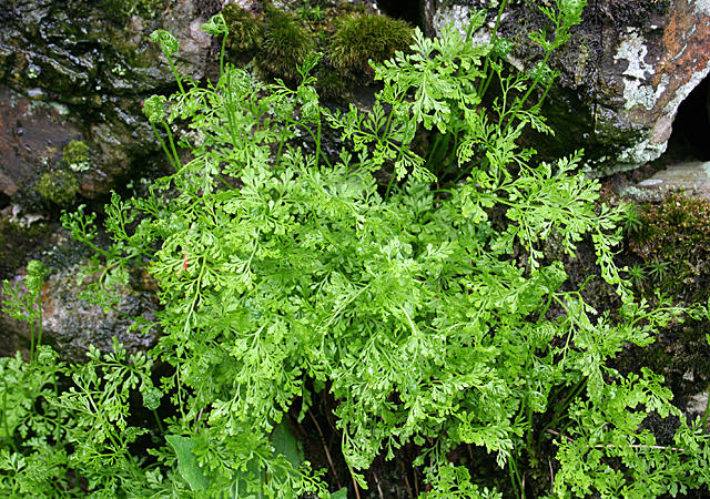 Photo could not load
NY2417 : Fairy Fern?
Anne Burgess
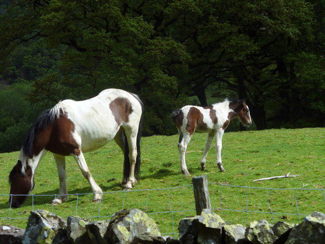 Photo could not load
NY2417 : Horse Pasture near Hollows Farm
Anthony Parkes
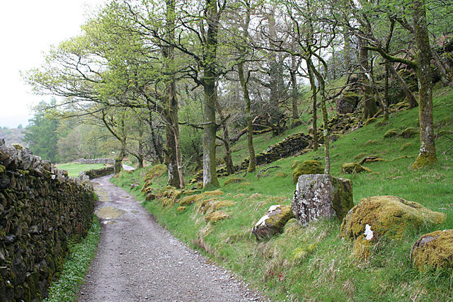 Photo could not load
NY2416 : Track beside Scarbrow Wood
Anne Burgess
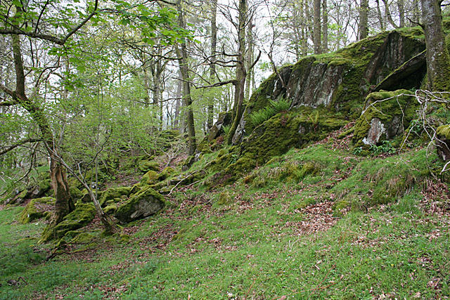
NY2417 : A Change in the Lithology
Anne Burgess
Hill facts and local notes
Classifications
Elevation
118m
387 ft
Prominence
30m
Coordinates
54.5430, -3.1593
NY250170
OS Map
89 90
Explorer: OL4S
At the Summit
The summit boasts a small cairn, offering panoramic views and an excellent photo opportunity, perfect for capturing memories (or evidence of your hike!).
Terrain & Geology
Holm Crag is primarily composed of volcanic rock, featuring a combination of andesite and lava flows, which give the crag its rugged appearance.
Views & Scenery
From the summit, you can admire views of Ennerdale Water, the distant Scafell range, and the dramatic peaks of the central Lake District.
History & Heritage
Name Origin
The name 'Holm Crag' derives from the Old Norse word 'holmr', which means an islet or small piece of land, reflecting the crag's standout stature in the landscape.
Historical Significance
The area is rich in history, linked to local folklore and the traditional practices of sheep farming, with signs of ancient settlements nearby.
Getting There & Facilities
Parking
There is ample parking available at Ennerdale Bridge, with spaces for both cars and larger vehicles. It’s a short walk from the car park to the trailhead.
Public Transport
Limited public transport is available; the best option is to take a bus to Ennerdale Bridge. Check schedules in advance, as they can be sporadic.
Nearby Facilities
Ennerdale Bridge has a couple of cosy pubs and small cafés where you can refuel post-hike, or simply gather your thoughts over a good cup of tea.
Safety Information
Known Hazards
- Loose rocks and steep sections in places; ensure good footwear and take care during inclement weather.
General Safety Tips
- Check weather conditions before setting out
- Carry appropriate clothing and equipment
- Let someone know your planned route
- Take a map, compass, and GPS device
- Carry emergency supplies: food, water, first aid kit, torch
Hills
Some common questions about the hills answered
Are there group walks up Holm Crag?
Many walkers use Walkmates to join or organise walks with others. You can check for group walks around Holm Crag through the maps
Are there other walkers around Holm Crag?
Activity varies by location and time, but Walkmates lets you see whether others have shared walks or shown interest in this area. Find other people through the walking friends search walking friends for Holm Crag search or of course create your own walk for Holm Crag
Can I organise a walk to Holm Crag?
Yes. If there aren’t any walks listed already, you can create a walk and make it available for others to join.
If you're signed up to Walkmates, you can create a walk to Holm Crag.
How do I find a walk up this hill?
There are often multiple ways to walk this hill, depending on experience and route preference. Walkmates helps you explore walks and routes that others have shared.
Can I suggest a new route up Holm Crag?
Yes. You can suggest or create routes to share with others. Walkmates focuses on the social side of walking, so routes are used to help people organise walks and explore areas together, rather than as detailed navigation tools or route libraries.
Other uses really appreciate knowledgeable walkers sharing their routes. Share your favourite route to Holm Crag here
The is an error or something incorrect about this hill. How do I let you know?
We always strive to keep the information on Walkmates as accurate as possible. If you find an error, please let us know through the contact form and we'll aim to correct it as quickly as possible
Community Discussion
Comments
Location
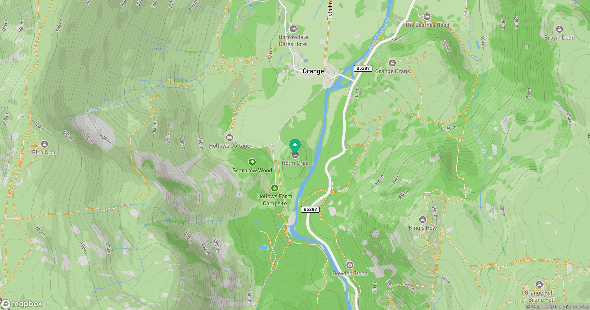
Grid reference: NY250170
View on OpenStreetMapOpens a map in a new tab, centred on the hill.

No comments yet. Be the first.