
High Seat
Good walks are even better shared.
Overview
High Seat is a 609-metre Wainwright in the Lake District, with a rocky summit beside a trig pillar.
High Seat
High Seat belongs to the Central Fells and appears in Book Three of Alfred Wainwright’s pictorial guides. Bleaberry Fell and High Tove are its immediate fell neighbours. Fell profile.
Summit and views
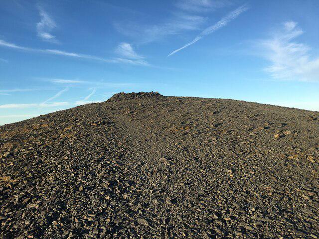
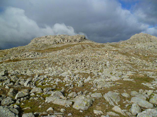
The recorded summit is 609 metres at NY 28709 18045, on rock three metres west of the trig pillar. A cairn 85 metres east-north-east, at NY 28788 18074, may be higher according to the survey notes; the relative height remains uncertain. Summit record.
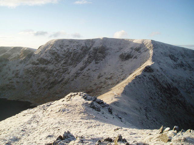
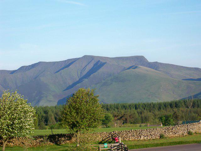
In clear weather, Bleaberry Fell lies below the northern skyline of Skiddaw, Lonscale Fell and Blencathra. The northwest descent looks across Ashness Fell towards Dodd. Photographed walk.
Ashness Bridge out and back
From Ashness Bridge car park, walk towards the bridge. Before reaching it, take the footpath to the right of Bark House. Cross the stile and climb with the gill on your left and wall, then fence, on your right to the kissing gate. Start.
The steep lower climb gives way to open moorland and boggy ground. Approach.
Beyond the gate, continue uphill. Where the path meets the gill, turn right onto the steep stone-built climb to Dodd. Continue ahead, then follow the path left across grassy knolls. Paving is interrupted by wet hollows. At its end, cross the boggy patch only if safe, then bear left up the summit outcrop. Ascent.
Return the same way: descend the outcrop, retrace the paving to Dodd, then follow the steep path and gill through the kissing gate, past Bark House and back to the car park. Return.
Volcanic bedrock
The summit bedrock is the Birker Fell Andesite Formation, within the Borrowdale Volcanic Group. These Ordovician rocks are chiefly andesite lava flows, with smaller amounts of basalt, dacite and fragmented volcanic deposits. Local geology and BGS formation description.
Getting there and preparing
Ashness Bridge National Trust car park is at NY 269196, postcode CA12 5UN. Spaces are limited and the approach road is steep and narrow, with passing places. Check current charges and leave road access clear. Parking information.
Do not rely on toilets or refreshments at the trailhead. Bring what you need, and keep dogs on a lead around livestock. Phone reception can be unreliable. Visitor information.
The 78 runs between Keswick and Seatoller, calling at Ashness stops on the Borrowdale road. These are below the fellwalk start: plan the connection to Ashness Bridge separately and check return services. Bus timetable.
Carry a map and compass, weatherproof clothing, suitable boots, food and drinking water. Check the mountain forecast and tell someone your route. Wet stonework can be slippery; turn back if conditions prevent safe progress. Allow daylight for the full descent. Snow and ice require winter skills and equipment. Walking safety.
Explore routes near High Seat
Public walks starting within 80 km of this hill. Nearby does not mean a route reaches the summit; check its map and access before setting out.
Derwentwater Walk: full lakeside circuit from Keswick
View route
Scafell Pike from Seathwaite via the Corridor Route
View route
Helvellyn via Striding Edge
View route
Striding Edge, Helvellyn and Catstye Cam
View route
Route planning notes
These notes describe possible approaches, not verified navigable routes or permission to cross land. Check current paths, local access rules and conditions before setting out.
Ashness Bridge out and back
Climb via Dodd to High Seat and retrace the same path to Ashness Bridge car park.
Make a day of it, together
Find someone to share the walk with, or organise a day out along a route you like.
Hill facts and local notes
Classifications
Elevation
609m
1,998 ft
Prominence
139m
Coordinates
54.5526, -3.1038
NY287180
OS Map
89 90
Explorer: OL4S
At the Summit
Rock three metres west of the trig pillar; a cairn 85 metres east-north-east may be higher.
Terrain & Geology
Birker Fell Andesite Formation, Borrowdale Volcanic Group: mainly Ordovician andesite lava flows.
Views & Scenery
Bleaberry Fell, Skiddaw, Lonscale Fell and Blencathra.
History & Heritage
Historical Significance
Featured in Book Three, The Central Fells, of Alfred Wainwright’s pictorial guides.
Getting There & Facilities
Check current local access restrictions, parking rules and transport timetables before travelling. These notes do not confirm public access to the summit.
Parking
Ashness Bridge National Trust car park, NY 269196, CA12 5UN. Limited spaces; steep, narrow approach road. Check charges.
Public Transport
The 78 links Keswick and Seatoller via Ashness on the Borrowdale road. Plan the uphill connection and check return services.
Nearby Facilities
Do not rely on trailhead toilets or refreshments. Bring food and drinking water.
Safety Information
Known Hazards
- Boggy ground interrupts the upper paths.
- Wet stonework can be slippery; poor visibility makes navigation harder.
- Livestock may be present near the start.
Seasonal Hazards
Allow daylight for the complete return. Snow and ice require winter skills and equipment.
General Safety Tips
- Check weather conditions before setting out
- Carry appropriate clothing and equipment
- Let someone know your planned route
- Take a map, compass, and GPS device
- Carry emergency supplies: food, water, first aid kit, torch
Hills
Some common questions about the hills answered
Are there group walks up High Seat?
Many walkers use Walkmates to join or organise walks with others. You can check for group walks around High Seat through the maps
Are there other walkers around High Seat?
Activity varies by location and time, but Walkmates lets you see whether others have shared walks or shown interest in this area. Find other people through the walking friends search walking friends for High Seat search or of course create your own walk for High Seat
Can I organise a walk to High Seat?
Yes. If there aren’t any walks listed already, you can create a walk and make it available for others to join.
If you're signed up to Walkmates, you can create a walk to High Seat.
How do I find a walk up this hill?
There are often multiple ways to walk this hill, depending on experience and route preference. Walkmates helps you explore walks and routes that others have shared.
Can I suggest a new route up High Seat?
Yes. You can suggest or create routes to share with others. Walkmates focuses on the social side of walking, so routes are used to help people organise walks and explore areas together, rather than as detailed navigation tools or route libraries.
Other uses really appreciate knowledgeable walkers sharing their routes. Share your favourite route to High Seat here
The is an error or something incorrect about this hill. How do I let you know?
We always strive to keep the information on Walkmates as accurate as possible. If you find an error, please let us know through the contact form and we'll aim to correct it as quickly as possible
Community Discussion
Comments
Location
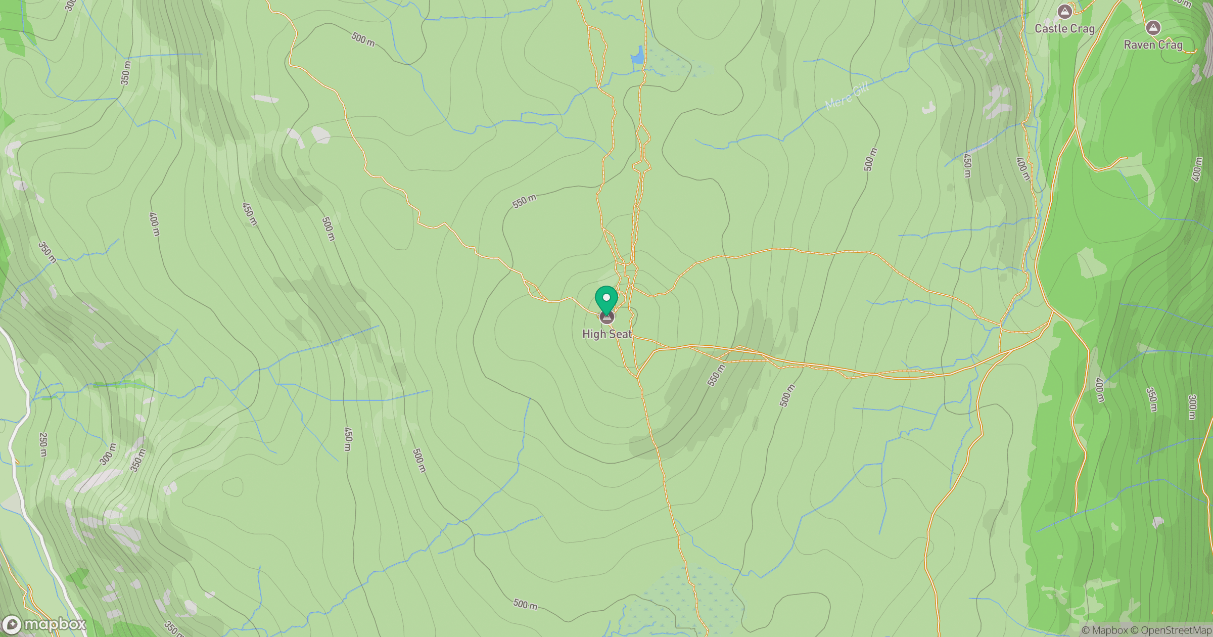
Grid reference: NY287180
View on OpenStreetMapOpens a map in a new tab, centred on the hill.
Hills within 30 km
Straight-line distance, not a walking route or confirmation of access.
No comments yet. Be the first.