

Great Rowbarrow
Good walks are even better shared.
SS8741 : Summit cairn, Great Rowbarrow
Roger Cornfoot Photo source
Overview
Great Rowbarrow
Great Rowbarrow, standing proud at 157 meters, is a must-visit for any hiking enthusiast venturing into the Mendip Hills. Not to be confused with its taller neighbours, Great Rowbarrow offers its own unique beauty and charm, reminding us that not all splendid views require a strenuous climb.
Geology
The landscape here is primarily limestone, a product of ancient seabeds that compressed and transformed over millions of years. This geological structure is fascinating, laden with fossils and proof of a time when the area was under water! Just think, these hills could have once been the tranquil sea floor while sharks swam overhead – quite the transformation!
Routes
Many hikers favour The Rowbarrow Circuit, a moderate 5.5 km loop that takes around two hours. It’s a nice way to soak in the breathtaking views without completely exhausting yourself. Even better, you might spot some local wildlife, provided you don’t scare them off with your impressive singing voice!
Summit Features
Once you reach the summit, you’ll find a delightful cairn which serves as a beacon for weary trekkers. Take a moment to sit on the provided bench and breathe in the fresh air while absorbing the views over the rolling hills and beyond.
Terrain and Views
The terrain is predominantly grassy, punctuated by a few rocky outcrops, making it accessible for most hiking levels. The views from the top are simply magnificent, with sights of Glastonbury Tor and the Severn Estuary on a clear day. Come in spring or autumn for the best panoramic displays; nature sure puts on a show then!
Hazards
Keep an eye out for the local sheep! They tend to consider themselves the rightful owners of the paths, and their stoic stares can be quite disheartening for anyone hoping to pass.
Nearby Summits
For those looking to explore further, why not check out Cley Hill or Challacombe Hill? Each offers a unique perspective of the area's stunning landscapes, and let’s face it, a good hill feels like a friendly competition!
Access
Parking can be found in the charming village of Westbury-sub-Mendip. If you prefer to travel via public transport, buses run regularly from surrounding towns and drop you off within a mile of your destination. The nearest notable town is Wells, famed for its stunning cathedral and charming streets.
Facilities
Wells is not simply a destination to start your hike; it’s also home to cafes where you can refuel post-trek, as well as amenities like public toilets that are, let’s be honest, always a welcome find.
History
The etymology of 'Rowbarrow' hints at its historic roots, marking it as a place of gathering. Additionally, the mountain bears witness to ancient burial sites, adding an air of mystique and history – perhaps even an eerie encounter or two!
In summary, Great Rowbarrow may not be the highest peak in the area, but it has charm, history, and views that’ll make any hiker wish to come back for more. Grab those boots and hit the trails!
Explore routes near Great Rowbarrow
Walks starting near this hill. Open a route to check its map, distance and full itinerary.
Dunkery Beacon sunset ranger walk
View route
Bossington Hill dusk and dark-sky walk
View route
Dunster, Gallox Bridge and Bats Castle: deer park hillfort circuit
View route
Lynmouth, Watersmeet and Ash Bridge woodland circuit
View route
Route planning notes
These notes describe possible approaches. Check a route's map and access information when planning your walk.
The Rowbarrow Circuit
A scenic loop starting from the nearby village, providing panoramic views and a chance to explore the surrounding countryside.
Make a day of it, together
Find someone to share the walk with, or organise a day out along a route you like.
Photo Gallery
View all Photo could not load
SS8741 : Exmoor : Scientific Station
Lewis Clarke
 Photo could not load
SS8741 : Exmoor : Moorland
Lewis Clarke
 Photo could not load
SS8741 : Exmoor : Moorland Scenery
Lewis Clarke
 Photo could not load
SS8741 : Cairn, to the south west of Great Rowbarrow
Roger Cornfoot
 Photo could not load
SS8741 : West Somerset : Exmoor - Moorland Scenery
Lewis Clarke
 Photo could not load
SS8741 : West Somerset : Exmoor - Moorland Scenery
Lewis Clarke
 Photo could not load
SS8741 : Scientific station, near Great Rowbarrow
Roger Cornfoot
 Photo could not load
SS8741 : West Somerset : Exmoor - Moorland Scenery
Lewis Clarke
 Photo could not load
SS8741 : Summit cairn, Great Rowbarrow
Roger Cornfoot

SS8741 : Exmoor : Great Rowbarrows
Lewis Clarke
Hill facts and local notes
Classifications
Elevation
510m
1,673 ft
Prominence
22m
Coordinates
51.1620, -3.6096
SS875415
OS Map
181
Explorer: OL9E
At the Summit
The summit of Great Rowbarrow features a prominent cairn, marking the highest point and providing a great photo opportunity. There’s also a wooden bench for those who wish to rest their weary legs and enjoy the view.
Terrain & Geology
Great Rowbarrow is primarily composed of limestone, characteristic of the Mendip Hills. This limestone is rich in fossils and has been shaped over millennia by erosion, creating a unique landscape that is home to diverse flora and fauna.
Views & Scenery
From the summit, hikers can enjoy views over the rolling Mendip Hills, the iconic Glastonbury Tor in the distance, and on a clear day, even the Severn Estuary.
History & Heritage
Name Origin
The name 'Rowbarrow' likely derives from Old English, meaning 'a mound where the crows gather'.
Historical Significance
Great Rowbarrow has historical significance as a site of ancient burial mounds and has been a focal point for local folklore.
Getting There & Facilities
Parking
There's a small parking area in the village of Westbury-sub-Mendip, just a short walk from the trailhead.
Public Transport
Regular bus services are available from nearby towns, with the closest stop about a mile from the mountain.
Nearby Facilities
In Wells, you'll find cafes, restaurants, and public toilets, making it an ideal starting point before your adventure.
Safety Information
Known Hazards
- Watch for sheep on the trails, as they have been known to block your way while giving you a disapproving look.
General Safety Tips
- Check weather conditions before setting out
- Carry appropriate clothing and equipment
- Let someone know your planned route
- Take a map, compass, and GPS device
- Carry emergency supplies: food, water, first aid kit, torch
Hills
Some common questions about the hills answered
Are there group walks up Great Rowbarrow?
Many walkers use Walkmates to join or organise walks with others. You can check for group walks around Great Rowbarrow through the maps
Are there other walkers around Great Rowbarrow?
Activity varies by location and time, but Walkmates lets you see whether others have shared walks or shown interest in this area. Find other people through the walking friends search walking friends for Great Rowbarrow search or of course create your own walk for Great Rowbarrow
Can I organise a walk to Great Rowbarrow?
Yes. If there aren’t any walks listed already, you can create a walk and make it available for others to join.
If you're signed up to Walkmates, you can create a walk to Great Rowbarrow.
How do I find a walk up this hill?
There are often multiple ways to walk this hill, depending on experience and route preference. Walkmates helps you explore walks and routes that others have shared.
Can I suggest a new route up Great Rowbarrow?
Yes. You can suggest or create routes to share with others. Walkmates focuses on the social side of walking, so routes are used to help people organise walks and explore areas together, rather than as detailed navigation tools or route libraries.
Other uses really appreciate knowledgeable walkers sharing their routes. Share your favourite route to Great Rowbarrow here
The is an error or something incorrect about this hill. How do I let you know?
We always strive to keep the information on Walkmates as accurate as possible. If you find an error, please let us know through the contact form and we'll aim to correct it as quickly as possible
Community Discussion
Comments
Location
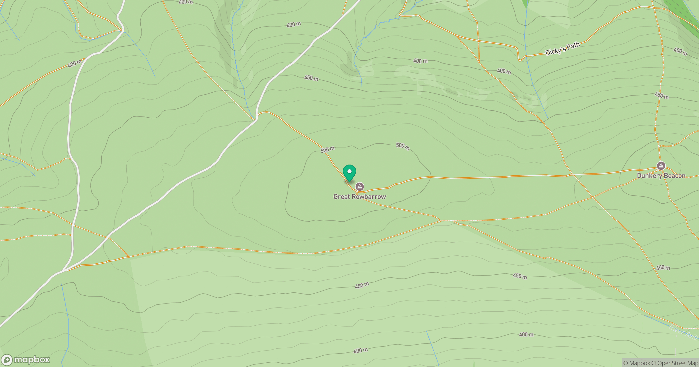
Grid reference: SS875415
View on OpenStreetMapOpens a map in a new tab, centred on the hill.
Nearby Hills
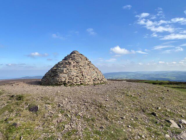
Dunkery Beacon
520m
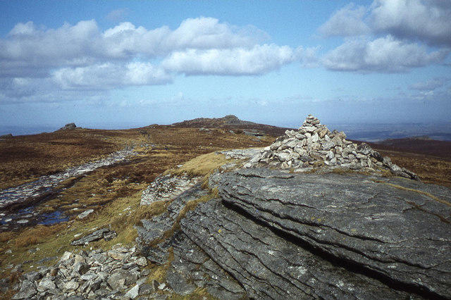
High Willhays
622m
Fan Gyhirych
726m
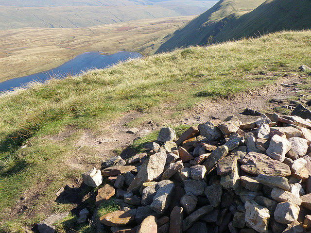
Fan Brycheiniog - Twr y Fan Foel
802m
Pen y Fan
886m
No comments yet. Be the first.