
Geal Charn
Good walks are even better shared.
Overview
Geal Charn
Overview
Geal Charn is one of the lesser-known Munros in the Scottish Highlands, standing proudly at 819 meters. With its granite composition and inviting grassy slopes, it's a gem for hikers seeking a bit of tranquility away from the more tourist-trodden paths.
Geology
The peak is predominantly granite, characterized by fascinating geological features sculpted by past glacial activity. As you hike, keep an eye out for interesting rock formations that tell the story of the landscape's ancient past.
Routes
There are several routes to conquer Geal Charn:
- East Highland Way Approach: This is a lovely moderate route, starting from Laggan and twisting through lush glades. It’s a great warm-up for the legs!
- Croadich Hill Route: For those seeking a challenge, this route ups the ante with rugged terrain. Expect to flex those muscles and enjoy breathtaking surroundings.
Summit Features
Upon reaching the summit, you're greeted by a sturdy stone cairn, which offers a fantastic photo opportunity. Just don’t forget to smile – your friends will want evidence!
Terrain
Expect a mix of grassy slopes and rocky sections as you make your way to the top. Be prepared for some boggy bits; those Scottish Highlands aren’t all sunshine and rainbows!
Views
From the summit, enjoy panoramic views of iconic peaks like Ben Nevis and Carn Mor Dearg. Observe the winding River Spean and endless stretches of Loch Laggan. Are you ready to feel small?
Hazards
Always be ready for that classic Scottish weather; it can change faster than a hiccup! Watch your step around loose rocks, especially near the top, as they have a habit of tumbling down when you least expect it.
Nearby Summits
Don’t forget to explore other remarkable peaks nearby, such as:
- Carn Mor Dearg (1002 m)
- Ben Nevis (1345 m)
Access
- Nearest Parking: Park your chariot at Laggan, where there’s ample space to leave your vehicle.
- Public Transport: Buses from Fort William regularly drop you off in Laggan. Do double-check schedules ahead of your trip!
- Nearest Town: The quaint village of Laggan has everything you need to prepare for your adventure.
Facilities
Laggan has a few delightful cafes for a spot of tea and some toilets - because let’s face it, nobody wants to go in the bushes!
History
- Name Meaning: Geal Charn means 'White Cairn', a fitting description during the snowy months.
- Significance: The mountain is steeped in local folklore, often seen as a land of mystical stories from bygone days.
Conclusion
Geal Charn is a delightful Munro that offers a rewarding experience for hikers looking to immerse themselves in the beautiful Scottish Highlands. So lace up your boots, pack your sandwiches, and set off on an adventure!
Happy hiking!
Explore routes near Geal Charn
Walks starting near this hill. Open a route to check its map, distance and full itinerary.
Banavie to Glen Loy Aqueduct: Neptune’s Staircase Canal Towpath
View route
Ben Nevis via Mountain Path
View route
Fort Augustus to Kytra Lock: Caledonian Canal Towpath
View route
Glen Affric: Coire Loch Woodland Trail
View route
Route planning notes
These notes describe possible approaches. Check a route's map and access information when planning your walk.
East Highland Way Approach
This moderately challenging route begins near the village of Laggan and meanders through lush glens and beautiful forested areas before ascending the mountain's flanks.
Croadich Hill Route
A challenging yet rewarding approach starting at Croadich Hill, offering rugged terrain and stunning views of surrounding hills.
Make a day of it, together
Find someone to share the walk with, or organise a day out along a route you like.
Hill facts and local notes
Classifications
Elevation
804m
2,638 ft
Prominence
156m
Coordinates
57.0026, -5.0375
NN156942
OS Map
34
Explorer: 399
At the Summit
At the summit, you will find a traditional stone cairn, which provides a perfect spot for photos. There's also a stunning view that will make your knees weak.
Terrain & Geology
Geal Charn is primarily composed of granite with significant evidence of glacial scouring and erosion, which has shaped much of the landscape surrounding the peak.
Views & Scenery
On a clear day, you can see Ben Nevis, the River Spean, and the expansive Loch Laggan.
History & Heritage
Name Origin
Geal Charn translates to 'White Cairn', likely referring to the mountain's snow-covered summit in winter.
Historical Significance
Geal Charn holds cultural significance in Highland folklore, often associated with local myths and legends.
Getting There & Facilities
Parking
There’s a decent parking area near the village of Laggan, with space for around a dozen cars. Arrive early to secure a spot!
Public Transport
The nearest bus services run to Laggan from Fort William. It may require a little planning, so check the local schedules.
Nearby Facilities
While there are no facilities on the mountain itself, Laggan has a couple of cozy cafes and public toilets.
Safety Information
Known Hazards
- Watch for sudden weather changes; it can go from sunny to 'where did my jacket go?' in minutes. Loose rocks near the summit can also be perilous.
General Safety Tips
- Check weather conditions before setting out
- Carry appropriate clothing and equipment
- Let someone know your planned route
- Take a map, compass, and GPS device
- Carry emergency supplies: food, water, first aid kit, torch
Hills
Some common questions about the hills answered
Are there group walks up Geal Charn?
Many walkers use Walkmates to join or organise walks with others. You can check for group walks around Geal Charn through the maps
Are there other walkers around Geal Charn?
Activity varies by location and time, but Walkmates lets you see whether others have shared walks or shown interest in this area. Find other people through the walking friends search walking friends for Geal Charn search or of course create your own walk for Geal Charn
Can I organise a walk to Geal Charn?
Yes. If there aren’t any walks listed already, you can create a walk and make it available for others to join.
If you're signed up to Walkmates, you can create a walk to Geal Charn.
How do I find a walk up this hill?
There are often multiple ways to walk this hill, depending on experience and route preference. Walkmates helps you explore walks and routes that others have shared.
Can I suggest a new route up Geal Charn?
Yes. You can suggest or create routes to share with others. Walkmates focuses on the social side of walking, so routes are used to help people organise walks and explore areas together, rather than as detailed navigation tools or route libraries.
Other uses really appreciate knowledgeable walkers sharing their routes. Share your favourite route to Geal Charn here
The is an error or something incorrect about this hill. How do I let you know?
We always strive to keep the information on Walkmates as accurate as possible. If you find an error, please let us know through the contact form and we'll aim to correct it as quickly as possible
Community Discussion
Comments
Location
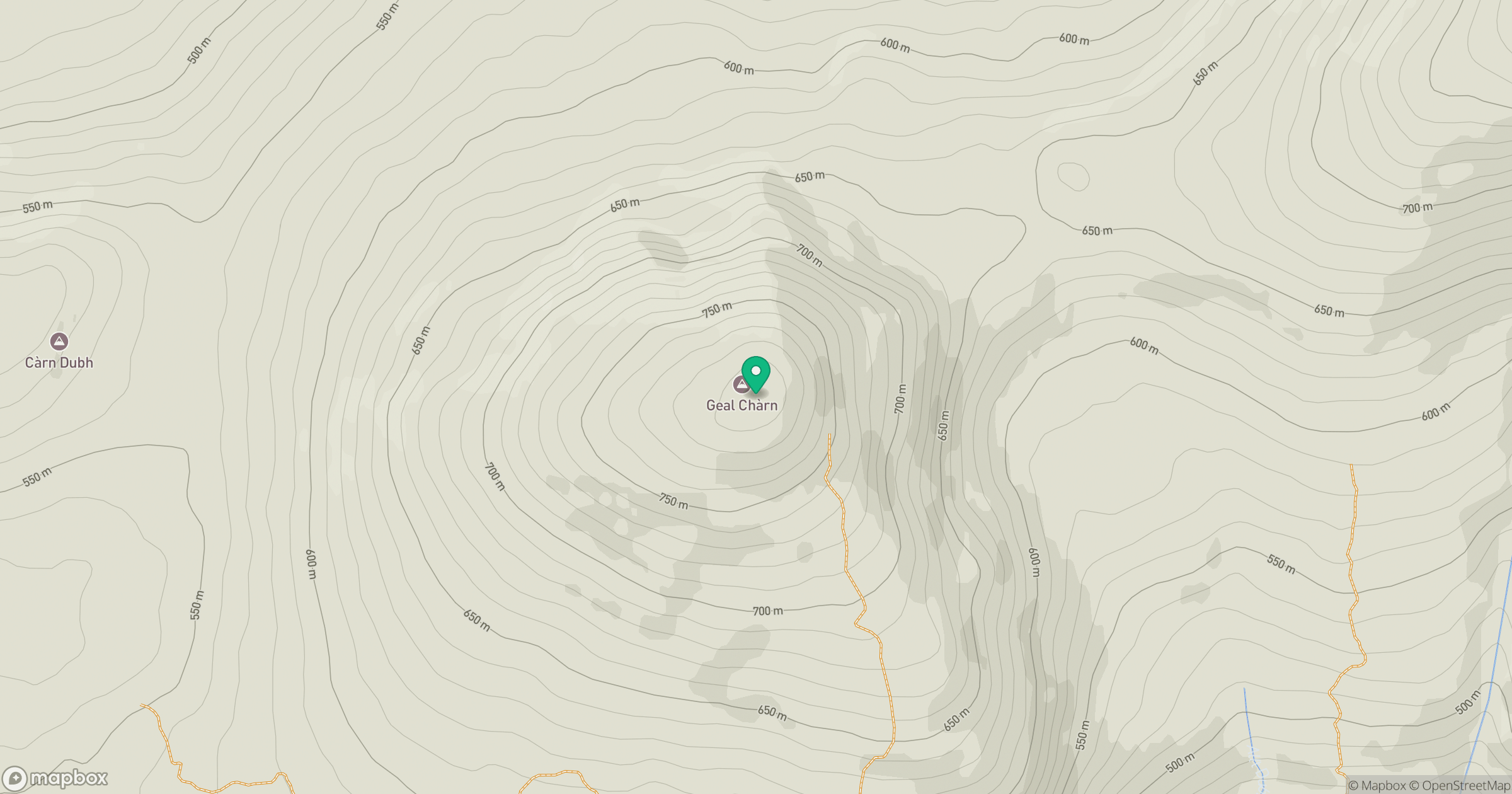
Grid reference: NN156942
View on OpenStreetMapOpens a map in a new tab, centred on the hill.
Nearby Hills
Carn Mor Dearg
1,221m
Aonach Mor
1,220m
![Ben Nevis [Beinn Nibheis]](https://cdn.walkmates.com/gallery-images/44e34d25abc849e78f7b99a97863fffb.jpg)
Ben Nevis [Beinn Nibheis]
1,345m
Aonach Beag
1,234m
Gleouraich
1,035m
No comments yet. Be the first.