

Dun da Ghaoithe
Good walks are even better shared.
NM6736 : Heading off Dùn da Ghaoithe
Karl and Ali Photo source
Overview
Dun da Ghaoithe
Dun da Ghaoithe stands proudly at 612 meters, beckoning hikers and outdoor enthusiasts alike. This Marilyn is a favourite for those who prefer a more tranquil hike away from the bustling paths of more popular peaks.
Geology
The mountain is a treasure trove for geology aficionados, primarily composed of ancient schists. Its rugged exterior is complemented by patches of granite, providing an interesting study in erosion and rock formations. These features offer insights into the Earth’s history and are a perfect backdrop for your Instagram snaps!
Routes
While there are multiple paths up the mountain, two popular routes stand out:
- North Face Ascent: This challenging route rewards trekkers with stunning views but demands some careful navigation around boulders.
- West Ridge Walk: For a gentler but equally picturesque experience, opt for this moderate walk.
Summit Features
The summit is adorned with a mighty stone cairn and a concrete trig point, marking your achievement as you wave it off like a conquering hero! It’s a popular spot for lunch breaks and a good old natter about the view.
Terrain
Expect rocky trails alongside grassy patches, punctuated by the odd boggy section. Waterproof footwear is advisable unless you wish to audition for the title of 'Drenched Hiker of the Year'.
Views
The views from the summit are simply awe-inspiring. On a clear day, the majestic Ben Nevis can be seen in the distance, alongside the serene Loch Awe. Best make the trip in spring or autumn for the most vibrant landscapes.
Hazards
Every glorious adventure has its hazards. Stay alert for loose rocks and slippery surfaces, particularly in damp conditions. Trekkers should rely on sturdy footwear to prevent any unplanned slip 'n' slides.
Access
Finding your way there? Head towards the small car park at grid reference NM686364. It’s the jumping-off point for your Highland adventure. Just be sure to get there early, as it gets packed quicker than a tin of sardines on a hot summer's day.
Facilities
If you’re craving a post-hike treat, a short drive to Inveraray will provide you with a selection of cafes and public toilets. Just try not to get too sidetracked by all the scenic beauty around you!
History
Dun da Ghaoithe derives its name from Gaelic, meaning 'Fort of the Two Winds', reflecting its rich cultural heritage. Historically a lookout point, it has borne witness to tales of ancient clans and their struggles.
Whether you're there for a challenge or just to take in some astonishing vistas, Dun da Ghaoithe promises a memorable outing in the heart of Scotland's wild beauty. So lace up your boots and hit the trails – adventure awaits!
Enjoy the journey!
Explore routes near Dun da Ghaoithe
Walks starting near this hill. Open a route to check its map, distance and full itinerary.
Crinan Canal: Bellanoch and Dunardry towpath return
View route
Ben Nevis via Mountain Path
View route
Banavie to Glen Loy Aqueduct: Neptune’s Staircase Canal Towpath
View route
Beinn Ime from Succoth
View route
Route planning notes
These notes describe possible approaches. Check a route's map and access information when planning your walk.
North Face Ascent
A somewhat steep route with boulders and scree. This route rewards you with breathtaking views of the surrounding glens and mountains.
West Ridge Walk
A more gradual approach with lovely grassy slopes, ideal for those looking for a less strenuous hike while still enjoying an exhilarating experience.
Make a day of it, together
Find someone to share the walk with, or organise a day out along a route you like.
Photo Gallery
View all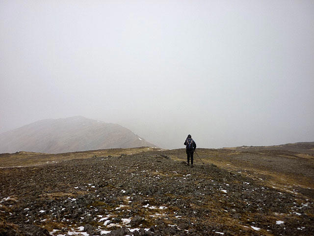 Photo could not load
NM6736 : Heading off Dùn da Ghaoithe
Karl and Ali
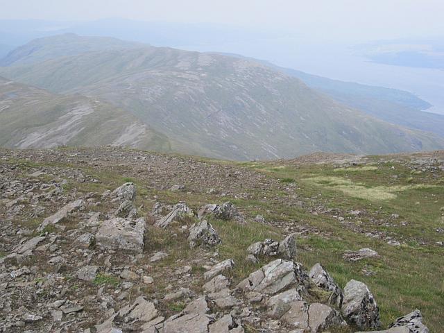 Photo could not load
NM6736 : On Dùn da Ghaoithe
Richard Webb
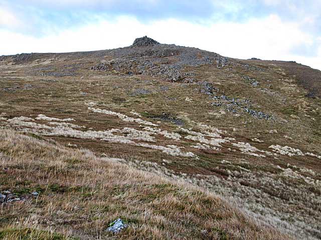 Photo could not load
NM6736 : Summit cairn on Dun da Ghaoithe
wrobison
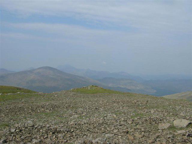 Photo could not load
NM6736 : Summit of Dun da Ghaoithe
Tony Kinghorn
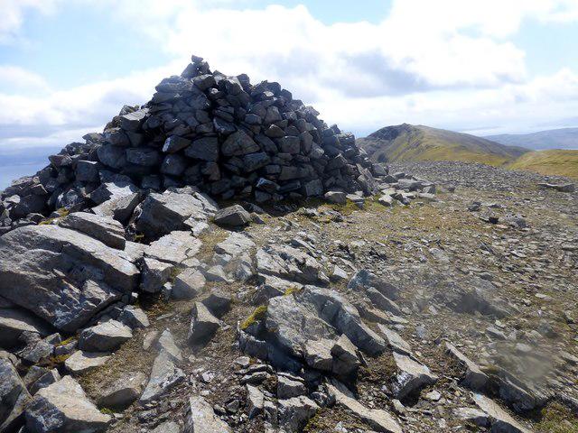 Photo could not load
NM6736 : Dùn da Ghaoithe
Rude Health
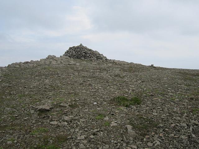 Photo could not load
NM6736 : Summit, Dùn da Ghaoithe
Richard Webb
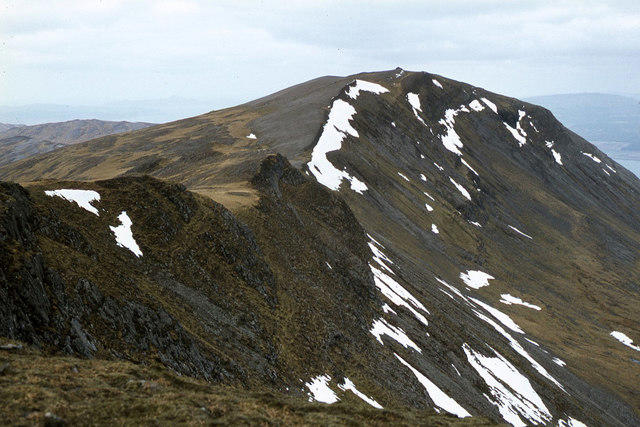 Photo could not load
NM6736 : View to Dun da Ghaoithe from near summit of Mainnir nam Fiadh
Colin Park
Hill facts and local notes
Classifications
Elevation
766m
2,513 ft
Prominence
659m
Coordinates
56.4604, -5.7795
NM672362
OS Map
49
Explorer: 375E
At the Summit
The summit features a large stone cairn and a concrete trig point, which provide excellent photo opportunities. The views from Dun da Ghaoithe are nothing short of spectacular, providing a perfect vantage point for the keen photographer.
Terrain & Geology
Dun da Ghaoithe is predominantly composed of ancient schists, with some areas of granite protruding through the softer sediments. This gives the mountain a rugged appearance and provides ample opportunities for geological interest, such as old sedimentary structures.
Views & Scenery
From the summit, you can see the rolling hills of the Highlands, the distant peaks of Ben Nevis, and the picturesque Loch Awe.
History & Heritage
Name Origin
The name 'Dun da Ghaoithe' translates to 'Fort of the Two Winds', hinting at ancient settlements and the weather's significance in the area.
Historical Significance
Historically, the mountain was a lookout point and played a crucial role in local lore and the gathering of clans.
Getting There & Facilities
Parking
There is a small car park located at the end of a single-track road at grid reference NM686364. Be cautious, as it fills up quickly on sunny weekends!
Public Transport
The nearest bus service runs to the village of Killin, approximately 10 miles away. From there, walkers may need to arrange for a taxi to reach the trailhead.
Nearby Facilities
A few miles away in Inveraray, you can find cafes, public toilets, and small shops for supplies. Just don't expect a five-star restaurant in the middle of the Highlands!
Safety Information
Known Hazards
- Watch out for loose rocks and slippery areas, especially after rain. Some paths can be boggy, so sturdy footwear is recommended.
General Safety Tips
- Check weather conditions before setting out
- Carry appropriate clothing and equipment
- Let someone know your planned route
- Take a map, compass, and GPS device
- Carry emergency supplies: food, water, first aid kit, torch
Hills
Some common questions about the hills answered
Are there group walks up Dun da Ghaoithe?
Many walkers use Walkmates to join or organise walks with others. You can check for group walks around Dun da Ghaoithe through the maps
Are there other walkers around Dun da Ghaoithe?
Activity varies by location and time, but Walkmates lets you see whether others have shared walks or shown interest in this area. Find other people through the walking friends search walking friends for Dun da Ghaoithe search or of course create your own walk for Dun da Ghaoithe
Can I organise a walk to Dun da Ghaoithe?
Yes. If there aren’t any walks listed already, you can create a walk and make it available for others to join.
If you're signed up to Walkmates, you can create a walk to Dun da Ghaoithe.
How do I find a walk up this hill?
There are often multiple ways to walk this hill, depending on experience and route preference. Walkmates helps you explore walks and routes that others have shared.
Can I suggest a new route up Dun da Ghaoithe?
Yes. You can suggest or create routes to share with others. Walkmates focuses on the social side of walking, so routes are used to help people organise walks and explore areas together, rather than as detailed navigation tools or route libraries.
Other uses really appreciate knowledgeable walkers sharing their routes. Share your favourite route to Dun da Ghaoithe here
The is an error or something incorrect about this hill. How do I let you know?
We always strive to keep the information on Walkmates as accurate as possible. If you find an error, please let us know through the contact form and we'll aim to correct it as quickly as possible
Community Discussion
Comments
Location
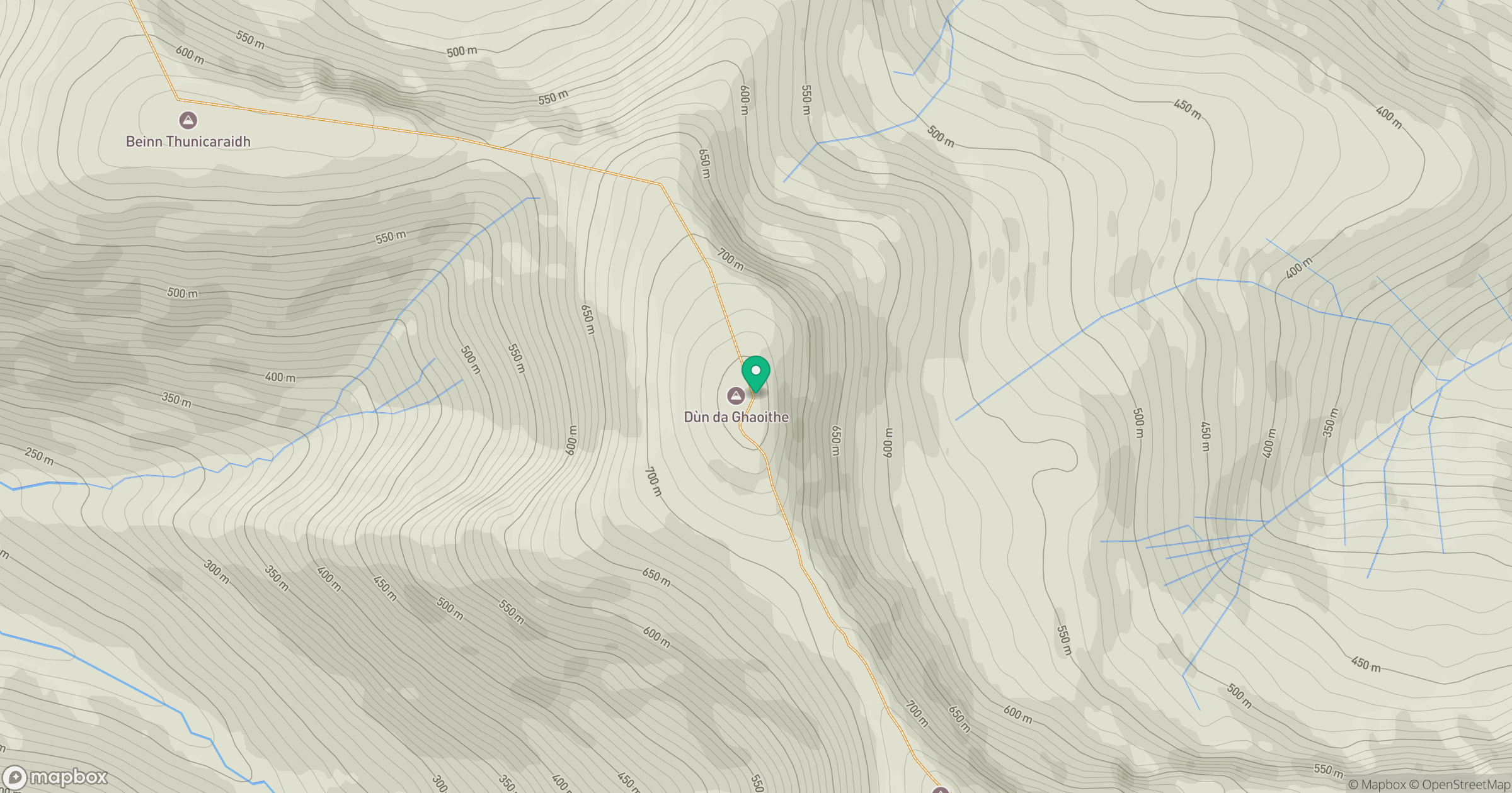
Grid reference: NM672362
View on OpenStreetMapOpens a map in a new tab, centred on the hill.
No comments yet. Be the first.