

Duggleby Wold
Good walks are even better shared.
Overview
Duggleby Wold: A Hidden Gem in the North York Moors
Nestled in the heart of the North York Moors, Duggleby Wold stands as one of those delightful spots that often flies under the radar. At 131 meters, it may not soar to the heights of its larger counterparts, but this Marilyn has its fair share of charm.
Geology
Duggleby Wold is shaped predominantly from limestone and chalk, resulting in a beautiful landscape marked by rolling hills and light grassy slopes. The area also holds evidence of glacial activity—a reminder of the Earth’s dynamic past. So don’t be surprised if you encounter some interesting geological features on your walk.
Routes
There’s no shortage of routes to explore! The Duggleby Wold Circular Walk is perfect for a leisurely amble, taking you through enchanting woodlands and vibrant fields over approximately 6.4 km, which should take around 2 hours to complete. Prefer a quick jaunt? The Access Road Route will have you at the summit in no time, making it about 2.5 km and a leisurely hour of walking.
Summit Features
As you approach the summit, keep an eye out for the rather impressive trig point, which acts not just as a navigational aid, but also as a great spot for a photo op! The surrounding landscape, punctuated by wildflowers, offers perfect scenery.
Terrain
Expect a blend of grassy fields interspersed with rugged limestone outcrops—perfect for those who prefer a bit of texture to their hiking surface. Just be cautious in wet conditions, as certain areas may become slippery!
Views
Once you reach the summit, prepare to be rewarded with panoramic views. On a clear day, you can gaze across the North York Moors, with the majestic spires of York’s Minster visible in the distance. This is undoubtedly a feast for the eyes, especially in late spring and summer when nature is in full bloom.
Hazards
While Duggleby Wold is generally accessible, be wary of the ever-changing weather—hiking here is not for the fairweathered! And ensure you’re sprightly on your feet, as limestone can be more slippery than it appears.
Nearby Summits
If you're feeling adventurous, consider combining your hike with a visit to the Rudston Monolith, an ancient standing stone that adds a touch of mystery to any trip.
Access
Accessing Duggleby Wold is easy enough; there's a small parking area in the village, with bus routes from Malton that can get you somewhat close to the start of your adventure.
Facilities
While Duggleby village is quaint with limited facilities, Malton is a buzzing place just a stone’s throw away, with plenty of cafes and shops to refuel after a glorious day in the hills!
History
The etymology of 'Duggleby' is steeped in the past, likely stemming from Old Norse. The area is also dotted with archaeological finds, hinting that this scenic location has been significant for millennia.
Duggleby Wold may be a mere blip on the UK’s mountain radar, but for those who visit, it offers a tranquil retreat into nature with stunning views and a hint of history. So lace up your boots and give it a whirl—who knows what you might discover?
Happy hiking!
Explore routes near Duggleby Wold
Public walks starting within 80 km of this hill. Nearby does not mean a route reaches the summit; check its map and access before setting out.
Dalby Forest Ellerburn Long Trail
View route
Dalby Forest Woodcock Way Long Loop from High Staindale
View route
Raincliffe Woods: Middle Road and Lady Mildred’s Ride
View route
Pocklington Canal, Canal Head to Melbourne Arm
View route
Route planning notes
These notes describe possible approaches, not verified navigable routes or permission to cross land. Check current paths, local access rules and conditions before setting out.
Duggleby Wold Circular Walk
A scenic circular route starting from the nearby village of Duggleby, offering a blend of woodland and open fields.
Duggleby Wold via the Access Road
A straightforward walk up the access road leading directly to Duggleby Wold, ideal for families.
Make a day of it, together
Find someone to share the walk with, or organise a day out along a route you like.
Photo Gallery
View all Photo could not load
SE8769 : Bridleway off minor road
JThomas
 Photo could not load
SE8769 : Field Track over Duggleby Wold
Martin Dawes
 Photo could not load
SE8769 : Small Tortoiseshell
T Eyre
 Photo could not load
SE8769 : Bridleway to High Mowthorpe
Jonathan Thacker
 Photo could not load
SE8769 : Tumuli on Duggleby Wold
Roger Marris
Hill facts and local notes
Classifications
Elevation
200m
656 ft
Prominence
76m
Coordinates
54.1157, -0.6628
SE875696
OS Map
101
Explorer: 300E
At the Summit
The summit is crowned with a large, weathered trig point, which stands as a silent sentinel over the surrounding countryside. A few hardy wildflowers add a splash of colour to the rugged landscape.
Terrain & Geology
Duggleby Wold is primarily composed of limestone and chalk, creating a unique landscape of rolling hills and grassy knolls. You'll also find evidence of glacial activity, with scattered boulders and gentle slopes.
Views & Scenery
On a clear day, the views extend to the North York Moors and towards the wildlife-rich Wolds. You might even spot the spires of York's Minster peeking through the horizon!
History & Heritage
Name Origin
The name 'Duggleby' is believed to derive from the Old Norse for 'farmstead' or 'dwelling place'.
Historical Significance
Duggleby Wold has been a site of archaeological interest, with evidence of ancient earthworks and barrows suggesting it has been significant since prehistoric times.
Getting There & Facilities
Check current local access restrictions, parking rules and transport timetables before travelling. These notes do not confirm public access to the summit.
Parking
There is a small parking area at Duggleby, about a 10-minute walk from the summit. Please park considerately.
Public Transport
Buses from Malton run to the nearby villages, with connections available to Duggleby.
Nearby Facilities
The village of Duggleby has limited facilities, but nearby Malton has cafes, shops, and public toilets.
Safety Information
Known Hazards
- Keep an eye out for sudden changes in weather, as conditions can shift rapidly in this region. Also, watch your step on the limestone patches which can be slippery when wet.
General Safety Tips
- Check weather conditions before setting out
- Carry appropriate clothing and equipment
- Let someone know your planned route
- Take a map, compass, and GPS device
- Carry emergency supplies: food, water, first aid kit, torch
Hills
Some common questions about the hills answered
Are there group walks up Duggleby Wold?
Many walkers use Walkmates to join or organise walks with others. You can check for group walks around Duggleby Wold through the maps
Are there other walkers around Duggleby Wold?
Activity varies by location and time, but Walkmates lets you see whether others have shared walks or shown interest in this area. Find other people through the walking friends search walking friends for Duggleby Wold search or of course create your own walk for Duggleby Wold
Can I organise a walk to Duggleby Wold?
Yes. If there aren’t any walks listed already, you can create a walk and make it available for others to join.
If you're signed up to Walkmates, you can create a walk to Duggleby Wold.
How do I find a walk up this hill?
There are often multiple ways to walk this hill, depending on experience and route preference. Walkmates helps you explore walks and routes that others have shared.
Can I suggest a new route up Duggleby Wold?
Yes. You can suggest or create routes to share with others. Walkmates focuses on the social side of walking, so routes are used to help people organise walks and explore areas together, rather than as detailed navigation tools or route libraries.
Other uses really appreciate knowledgeable walkers sharing their routes. Share your favourite route to Duggleby Wold here
The is an error or something incorrect about this hill. How do I let you know?
We always strive to keep the information on Walkmates as accurate as possible. If you find an error, please let us know through the contact form and we'll aim to correct it as quickly as possible
Community Discussion
Comments
Location
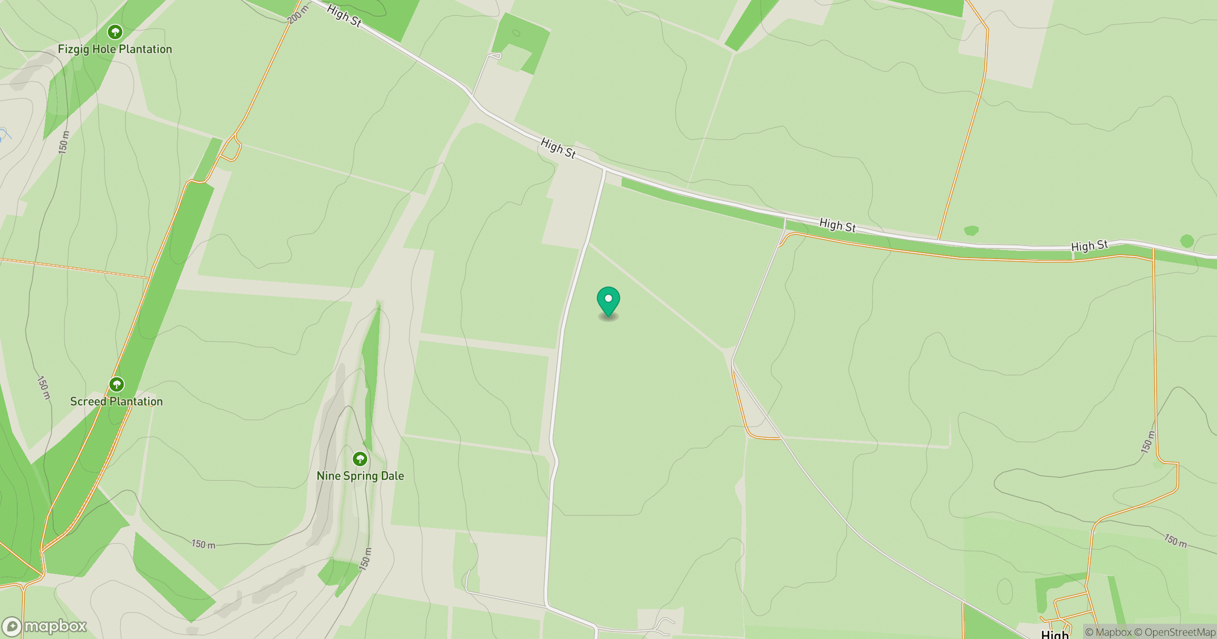
Grid reference: SE875696
View on OpenStreetMapOpens a map in a new tab, centred on the hill.
Hills within 30 km
Straight-line distance, not a walking route or confirmation of access.
Bishop Wilton Wold
248m
Barns Cliff End
222m
Seamer Beacon
188m
Oliver's Mount
155m
Yearsley Cross
174m
No comments yet. Be the first.