

Crockham Hill
Good walks are even better shared.
TQ4451 : Table & chairs by a tree, Crockham Hill Common
N Chadwick Photo source
Overview
Crockham Hill
Overview
Crockham Hill is a gem nestled in the enchanting Kent Downs, rising to an elevation of 192 meters. It’s not the highest peak around, but what it lacks in height, it more than makes up for in stunning views and lovely greenery.
Geology
Primarily composed of chalk, Crockham Hill showcases the beautiful geological diversity of the region. The terrain consists of not just the round grassy summit but also stretches of wooded areas and open fields, offering a rich habitat for flora and fauna.
Routes
The most popular route is the Crockham Hill Circular Walk, which is about 5.5 km and can be comfortably completed in 1.5 hours. This moderate trail winds through picturesque countryside and leads you directly to the summit, where you can enjoy the panoramic views.
Summit Features
At the summit, you’ll find a prominent trig point—perfect for photos and signalling to others that you’ve made it to the top! It’s a lovely grassy knoll that makes for a fantastic picnic spot.
Terrain Type
Expect a varied terrain that is largely grassy with some wooded patches. The paths are well-defined and generally easy to navigate, making it a suitable outing for families and seasoned walkers alike.
Views
Once you reach the top, take a moment to soak in the breathtaking views of the Sevenoaks Weald and the North Downs. If you're lucky enough to visit on a clear day, you might even catch a glimpse of London’s skyline, reminding you that it’s good to get out of the city sometimes.
Best Seasons
For the best views, spring and autumn are ideal. Spring brings with it beautiful blossoms while autumn sets the stage with warm, colourful foliage.
Hazards
Always keep in mind the rather unpredictable weather. Sudden showers can surprise even the most seasoned hikers. So, don’t forget to check the forecast!
Nearby Summits
If you're up for more hiking, nearby summits like Ide Hill (219 meters) and Toys Hill (262 meters) offer more exciting trails.
Access
Nearest Parking
You can park at Crockham Hill itself or find some on-street parking in the area.
Public Transport
The nearest station is Dunton Green, about 4.5 km away—perfect for a post-hike taxi ride or a refreshing walk.
Nearest Town
The charming town of Sevenoaks is the closest, bustling with cafes, shops and local history worth exploring.
Facilities
While you're out having a laugh with nature, don’t forget that there are local facilities available—be it a community cafe or a good old country pub to ease your thirst!
History
Name Meaning
The name 'Crockham' originates from Old English, combining 'crocca' (hill) with 'ham' (farm), effectively meaning 'the farm on the hill.'
Significance
Crockham Hill is part of the Kent Downs Area of Outstanding Natural Beauty, a designation that underscores its pastoral charms and historical significance.
So, don’t just sit at home; grab your walking shoes, pack a sandwich, and head out to soak in the delights of Crockham Hill!
Explore routes near Crockham Hill
Walks starting near this hill. Open a route to check its map, distance and full itinerary.
Knole Park Broad Walk and Chestnut Walk Circuit
View route
Ightham Mote, Scathes Wood and Wilmot Hill Circuit
View route
Worth Way: East Grinstead to Three Bridges Station
View route
Lullingstone Country Park: Beechen Wood and valley views
View route
Route planning notes
These notes describe possible approaches. Check a route's map and access information when planning your walk.
Crockham Hill Circular Walk
A scenic circular route that takes you around and to the summit of Crockham Hill, passing through picturesque countryside and offering superb views.
Make a day of it, together
Find someone to share the walk with, or organise a day out along a route you like.
Photo Gallery
View all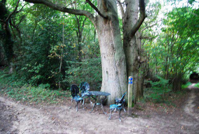 Photo could not load
TQ4451 : Table & chairs by a tree, Crockham Hill Common
N Chadwick
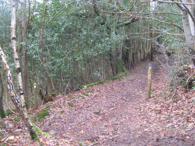 Photo could not load
TQ4451 : Footpath junction near Hopland
David Anstiss
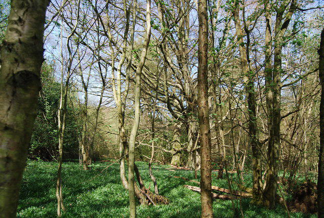 Photo could not load
TQ4451 : Crockhamhill Common
N Chadwick
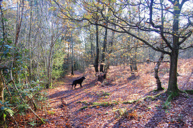 Photo could not load
TQ4451 : Crockhamhill Common
Trevor Harris
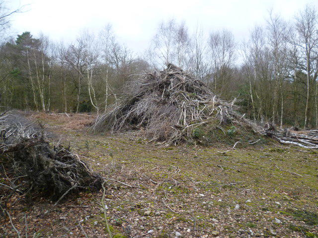 Photo could not load
TQ4451 : Pile of wood on Crockhamhill Common
Marathon
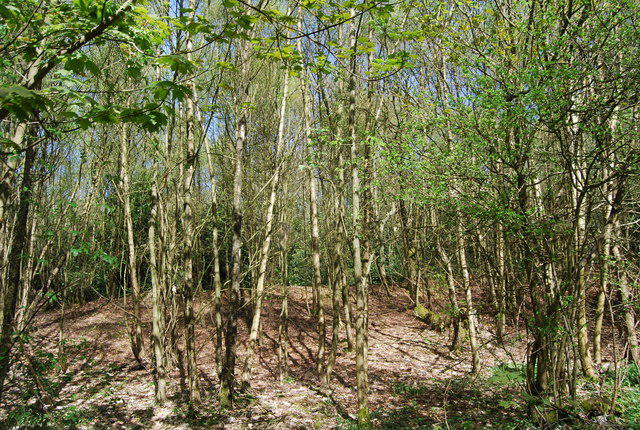 Photo could not load
TQ4451 : Crockhamhill Common
N Chadwick
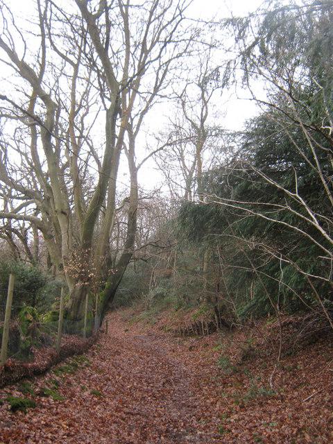 Photo could not load
TQ4451 : Bridleway near April Cottage
David Anstiss
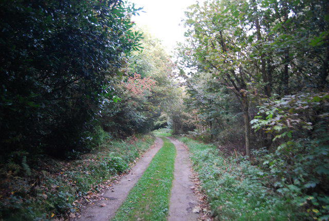 Photo could not load
TQ4451 : Greensand Way, Crockham Hill Common
N Chadwick
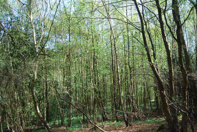 Photo could not load
TQ4451 : Woodland, Crockhamhill Common
N Chadwick
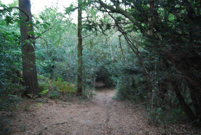
TQ4451 : Greensand Way, Crockham Hill Common
N Chadwick
Hill facts and local notes
Classifications
Elevation
216m
709 ft
Prominence
41m
Coordinates
51.2437, 0.0699
TQ445514
OS Map
187
Explorer: 147
At the Summit
The summit features a grassy knoll, which is home to a large trig point that offers a great spot for a photo and a place to catch your breath while marvelling at the views.
Terrain & Geology
Crockham Hill is primarily composed of chalk and has a varied topography that includes lush grassland and patches of wooded areas, offering a visual treat and a rich habitat for local wildlife.
Views & Scenery
From the summit, you can see the Sevenoaks Weald, the North Downs, and on a clear day, the distant outline of London’s skyline peeking over the hills.
History & Heritage
Name Origin
The name 'Crockham' is derived from Old English, meaning 'the farm on the hill'.
Historical Significance
Crockham Hill has historical significance as part of the Kent Downs Area of Outstanding Natural Beauty, which has been a pastoral landscape for centuries.
Getting There & Facilities
Parking
There is parking available at Crockham Hill, with some on-street parking options nearby.
Public Transport
The nearest train station is Dunton Green, approximately 4.5 km away. From the station, you can take a taxi or enjoy a good stretch of the legs with a pleasant walk.
Nearby Facilities
Nearby facilities include the Crockham Hill Village Hall for community events and a local pub that offers food and refreshments.
Safety Information
Known Hazards
- Variable weather conditions can change rapidly; be prepared for sudden showers or strong winds.
General Safety Tips
- Check weather conditions before setting out
- Carry appropriate clothing and equipment
- Let someone know your planned route
- Take a map, compass, and GPS device
- Carry emergency supplies: food, water, first aid kit, torch
Hills
Some common questions about the hills answered
Are there group walks up Crockham Hill?
Many walkers use Walkmates to join or organise walks with others. You can check for group walks around Crockham Hill through the maps
Are there other walkers around Crockham Hill?
Activity varies by location and time, but Walkmates lets you see whether others have shared walks or shown interest in this area. Find other people through the walking friends search walking friends for Crockham Hill search or of course create your own walk for Crockham Hill
Can I organise a walk to Crockham Hill?
Yes. If there aren’t any walks listed already, you can create a walk and make it available for others to join.
If you're signed up to Walkmates, you can create a walk to Crockham Hill.
How do I find a walk up this hill?
There are often multiple ways to walk this hill, depending on experience and route preference. Walkmates helps you explore walks and routes that others have shared.
Can I suggest a new route up Crockham Hill?
Yes. You can suggest or create routes to share with others. Walkmates focuses on the social side of walking, so routes are used to help people organise walks and explore areas together, rather than as detailed navigation tools or route libraries.
Other uses really appreciate knowledgeable walkers sharing their routes. Share your favourite route to Crockham Hill here
The is an error or something incorrect about this hill. How do I let you know?
We always strive to keep the information on Walkmates as accurate as possible. If you find an error, please let us know through the contact form and we'll aim to correct it as quickly as possible
Community Discussion
Comments
Location
View the hill's mapped position and surrounding paths.
Grid reference: TQ445514
View on OpenStreetMapOpens a map in a new tab, centred on the hill.
No comments yet. Be the first.