

Creagan Gorm
Good walks are even better shared.
NH9711 : Tough little critter
Richard Webb Photo source
Overview
Creagan Gorm: The Blue Crag of the Highlands
Introduction
Creagan Gorm is a splendid Marilyn located in the picturesque Scottish Highlands. At an elevation of 737 meters, it may not be the tallest peak around, but it offers a wealth of beauty and adventure for those willing to lace up their hiking boots.
Geology
The mountain is predominantly granite, interspersed with schist and gneiss, which provides a fascinating insight into the Earth's geological history. As you trek, the rocky outcrops and rugged formations make for a remarkable backdrop, providing a sense of the ancient landscapes that have shaped this region.
Routes
Glen Dochart Route
This moderately challenging route extends 8 km and takes approximately 3.5 hours to complete. It begins at the foot of Glen Dochart, winding its way through heaths and rocky terrain, ready to test your stamina and resolve. It's a fine choice for those looking to experience the thrill of hillwalking without embarking on an epic expedition.
Summit Features
At the summit, you'll find a sizeable cairn, a trusty friend for wayward hikers. The trig point stands valiantly, marking your achievement and offering a resting place for the weary. Take a moment at the top to appreciate the hard work that brought you here.
Terrain Type
Expect a mix of rocky trails and heather-clad slopes, interspersed with the occasional boggy patch that likes to challenge your boots. It’s all part of the adventure!
Views
The views from Creagan Gorm are absolutely stunning. On a clear day, you’ll catch sight of Loch Tay, with its shimmering waters below, and the majestic peaks of the Ben Lawers range in the distance. For those who enjoy a bit of scenic splendor, the best seasons to visit are late spring and early autumn when the heather is in full bloom and visibility is at its best.
Hazards
The Scottish weather can be temperamental, so be prepared for any surprises—rain, wind, or even a wee bit of snow! The terrain can also be uneven, particularly in wetter conditions, so watch those feet!
Nearby Summits
Just a hop, skip, and a jump away is Ben More, standing tall at 1174 meters. It’s an ideal opportunity to extend your hiking ambitions and bag another peak!
Access
Parking is readily available in a layby off the A85 near Glen Dochart. If you're relying on public transport, bus services from Crianlarich and Killin will get you relatively close, although a bit of hoofing may be required.
Facilities
Before you set off, pop into Crianlarich for some refreshments—there are cafés and toilet facilities to ensure you're all set for your adventure!
History
As for the name, Creagan Gorm literally means ‘Blue Crag’ in Gaelic, and its cultural significance is woven into the folklore of the Highland clans.
So there you have it! Pack your sense of adventure, a good pair of boots, and head on to Creagan Gorm for an unforgettable Highland experience.
Explore routes near Creagan Gorm
Walks starting near this hill. Open a route to check its map, distance and full itinerary.
Rothiemurchus: Beaver Trail and Lochan Mor
View route
Aviemore: Loch an Eilein and the Croft Track from Rothiemurchus
View route
Cairngorms night walk and stargazing (event meeting)
View route
Cairngorms night walk and stargazing (event meeting)
View route
Route planning notes
These notes describe possible approaches. Check a route's map and access information when planning your walk.
Glen Dochart Route
A scenic ascent starting from Glen Dochart, winding through heaths and rocky terrain. Ideal for those seeking a moderately challenging hike.
Make a day of it, together
Find someone to share the walk with, or organise a day out along a route you like.
Photo Gallery
View all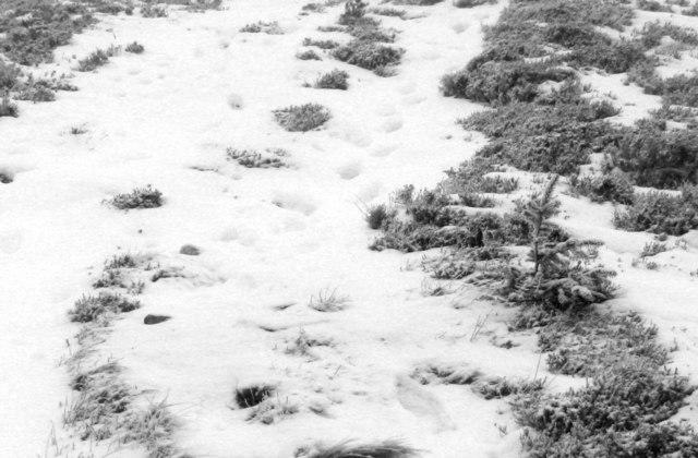 Photo could not load
NH9711 : Tough little critter
Richard Webb
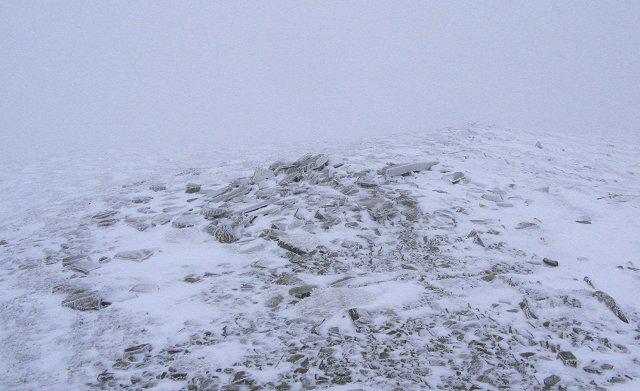 Photo could not load
NH9712 : Creagan Gorm
Richard Webb
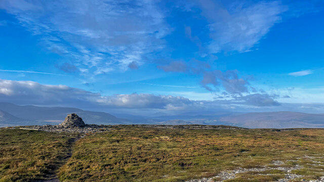 Photo could not load
NH9712 : Creagan Gorm Summit
Ralph Greig
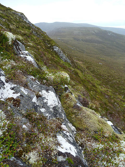 Photo could not load
NH9712 : Creagan Gorm
Walter Baxter
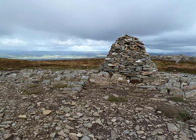 Photo could not load
NH9712 : The summit cairn on Creagan Gorm
Walter Baxter
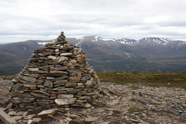 Photo could not load
NH9712 : Cairn, Creagan Gorm
Dorothy Carse
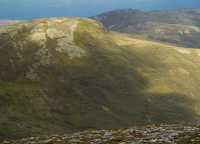 Photo could not load
NH9712 : Creagan Gorm
Walter Baxter
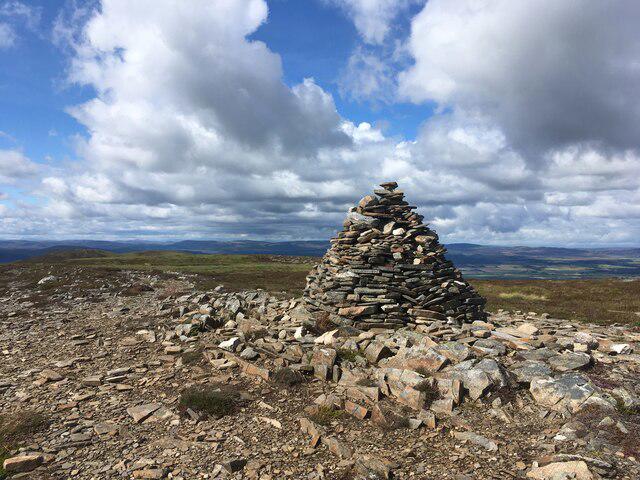 Photo could not load
NH9712 : Large cairn atop Creagan Gorm
Steven Brown
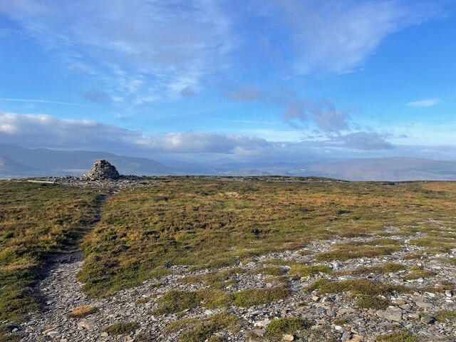 Photo could not load
NH9712 : Creagan Gorm Summit
Ralph Greig
Hill facts and local notes
Classifications
Elevation
732m
2,402 ft
Prominence
108m
Coordinates
57.1875, -3.6920
NH978120
OS Map
36
Explorer: OL57N 403N
At the Summit
The summit features a prominent cairn and an impressive trig point that stand as witnesses to the panoramic views that surround this Highland gem.
Terrain & Geology
Creagan Gorm is primarily composed of granite, with a mix of schist and gneiss in its lower sections. The area showcases beautiful geological formations reflecting millions of years of natural history.
Views & Scenery
From the summit, enjoy sweeping views of Loch Tay and the distant peaks of the Ben Lawers range. On a clear day, the scenery is absolutely breathtaking.
History & Heritage
Name Origin
Creagan Gorm translates to ‘Blue Crag’ in Gaelic, illustrating the mountain's distinctive hue.
Historical Significance
The mountain holds cultural significance in local folklore, often mentioned in tales related to the Highland clans.
Getting There & Facilities
Parking
There is a layby just off the A85 at the foot of Glen Dochart, providing ample parking space for a few vehicles.
Public Transport
Bus services run from nearby towns such as Crianlarich and Killin, with the nearest stop being approximately 4 km away.
Nearby Facilities
Crianlarich offers facilities including cafés and public toilets, perfect for a last stop before your hike. Stock up on snacks and drink before you venture out!
Safety Information
Known Hazards
- Be aware of sudden changes in weather; the Scottish Highlands are notorious for their unpredictable conditions. Uneven terrain can also be challenging, especially in wet weather.
General Safety Tips
- Check weather conditions before setting out
- Carry appropriate clothing and equipment
- Let someone know your planned route
- Take a map, compass, and GPS device
- Carry emergency supplies: food, water, first aid kit, torch
Hills
Some common questions about the hills answered
Are there group walks up Creagan Gorm?
Many walkers use Walkmates to join or organise walks with others. You can check for group walks around Creagan Gorm through the maps
Are there other walkers around Creagan Gorm?
Activity varies by location and time, but Walkmates lets you see whether others have shared walks or shown interest in this area. Find other people through the walking friends search walking friends for Creagan Gorm search or of course create your own walk for Creagan Gorm
Can I organise a walk to Creagan Gorm?
Yes. If there aren’t any walks listed already, you can create a walk and make it available for others to join.
If you're signed up to Walkmates, you can create a walk to Creagan Gorm.
How do I find a walk up this hill?
There are often multiple ways to walk this hill, depending on experience and route preference. Walkmates helps you explore walks and routes that others have shared.
Can I suggest a new route up Creagan Gorm?
Yes. You can suggest or create routes to share with others. Walkmates focuses on the social side of walking, so routes are used to help people organise walks and explore areas together, rather than as detailed navigation tools or route libraries.
Other uses really appreciate knowledgeable walkers sharing their routes. Share your favourite route to Creagan Gorm here
The is an error or something incorrect about this hill. How do I let you know?
We always strive to keep the information on Walkmates as accurate as possible. If you find an error, please let us know through the contact form and we'll aim to correct it as quickly as possible
Community Discussion
Comments
Location
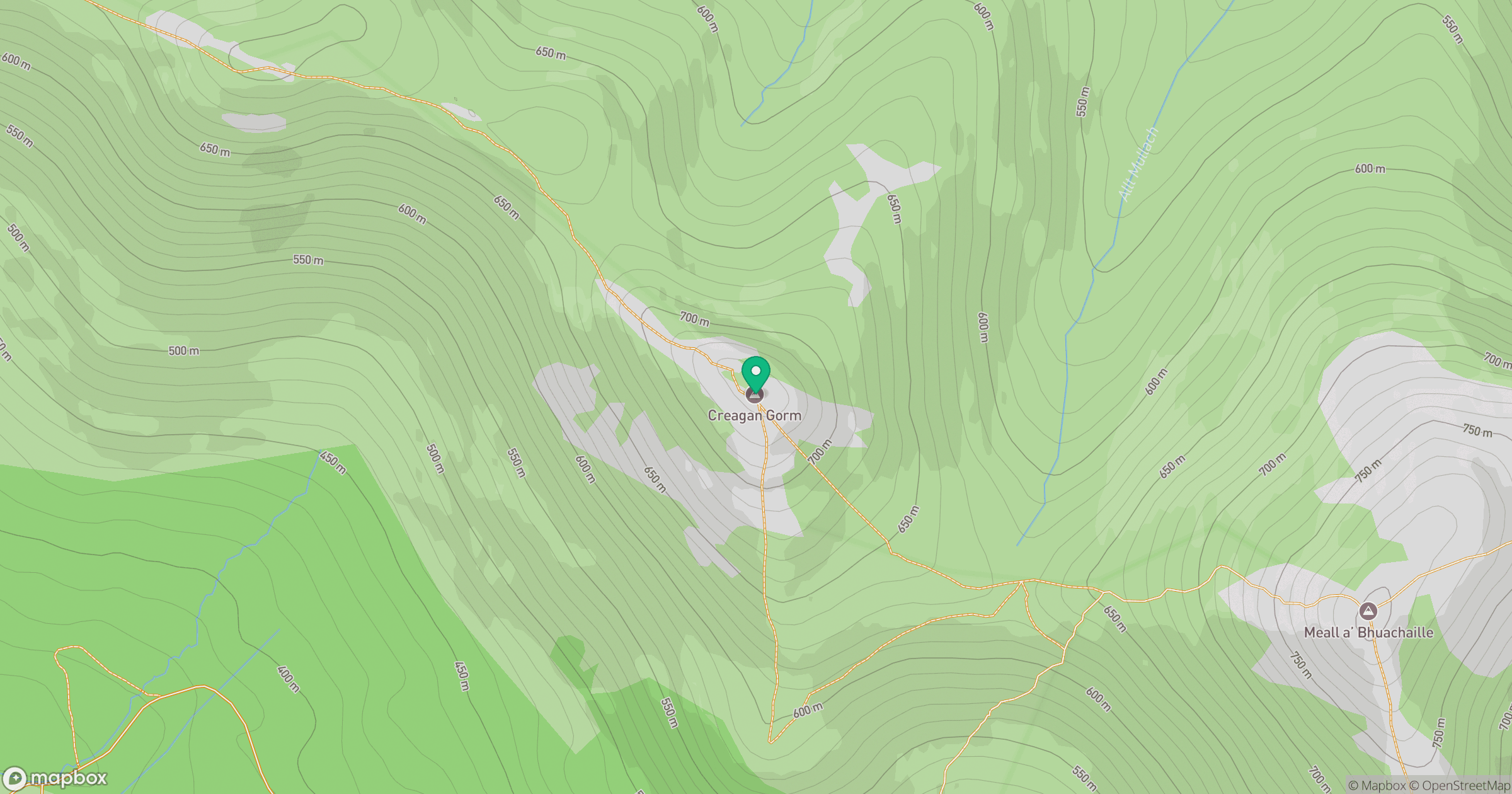
Grid reference: NH978120
View on OpenStreetMapOpens a map in a new tab, centred on the hill.
![Ben Macdui [Beinn Macduibh]](https://cdn.walkmates.com/gallery-images/e60cf32aeb394c3282fcdd14a63368f0.jpg)
No comments yet. Be the first.