

Carn Eilrig
Good walks are even better shared.
Overview
Carn Eilrig
Carn Eilrig stands at an impressive height of 827 meters, classified as a Marilyn due to its prominence. Nestled in the stunning Scottish Highlands, this mountain offers outdoor enthusiasts a challenging yet rewarding adventure.
Geology
The geological formation of Carn Eilrig reveals a story etched in granite and schist, shaped by glaciers over millennia. As you hike, take a moment to appreciate the rugged beauty of the terrain, a testament to nature's artistry.
Routes
The main route begins at the Kilmorack Bridge. This moderate trek of approximately 8.5 kilometers takes you through varied terrain—from grassy slopes to rocky outcrops. It’s an excellent choice for those looking to enjoy the great outdoors without too much hassle. Don’t forget to bring your camera for the amazing views!
Summit Features
Upon reaching the summit, hikers are greeted by a small stone cairn, a lovely spot to rest and enjoy the surroundings. If you hear bleating, don’t be alarmed—it’s probably just a sheep keeping a lookout!
Terrain Type
The mountain's terrain is a mix of soft grassy patches and rocky sections, perfect for an invigorating hike. Keep an eye out for patches of colourful heather that paint the hillsides during summer.
Views
The panoramic views from the top are absolutely breathtaking. You’ll be treated to sights of the Monadhliath Mountains and on clear days, even Ben Nevis peeking in the distance. The best time to visit for these views is in spring or early summer, though autumn offers its own spectacular display.
Hazards
As always in the Highlands, be conscious of rapidly changing weather conditions. The path can become muddy and slippery, particularly after rain, so sturdy boots are essential to keep you upright.
Nearby Summits
For those looking to extend their adventure, nearby peaks such as Carn nan Gobhar (823m) and Meall a'Bhothaid (790m) are worth a visit, each with their own unique charm.
Access
Access to Carn Eilrig is convenient from the nearest town, Beauly. Make sure to park at the designated place by Kilmorack Bridge, as parking can become tight. Limited public transport options mean a taxi may be necessary, so plan ahead.
Facilities
Facilities are available in Beauly with several cafes where you can refuel post-hike or grab a bite before your adventure.
History
The name Carn Eilrig—meaning 'Hill of the Dales'—suits this tranquil spot nestled within rich history and folklore. It remains an important cultural symbol for local communities.
Whether you’re an experienced hiker or a casual walker, Carn Eilrig promises an unforgettable experience in Scotland’s majestic outdoors. So lace up those boots and off you go!
Explore routes near Carn Eilrig
Public walks starting within 80 km of this hill. Nearby does not mean a route reaches the summit; check its map and access before setting out.
Rothiemurchus: Beaver Trail and Lochan Mor
View route
Aviemore: Loch an Eilein and the Croft Track from Rothiemurchus
View route
Glen Banvie Trail with the Bruar viewpoint
View route
Loch Muick full circuit from Spittal of Glen Muick
View route
Route planning notes
These notes describe possible approaches, not verified navigable routes or permission to cross land. Check current paths, local access rules and conditions before setting out.
Starting from the Kilmorack Bridge
An excellent route up the well-defined path from Kilmorack Bridge, providing stunning views as you ascend. Keep your eyes peeled for wildlife along the way!
Make a day of it, together
Find someone to share the walk with, or organise a day out along a route you like.
Photo Gallery
View all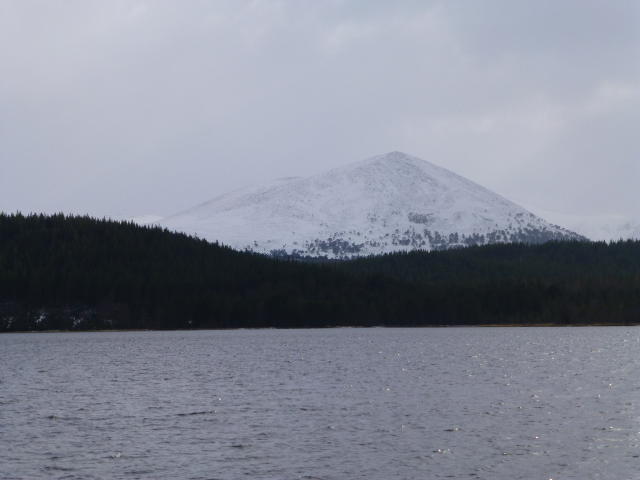 Photo could not load
NH9305 : Carn Eilrig
L Cowieson
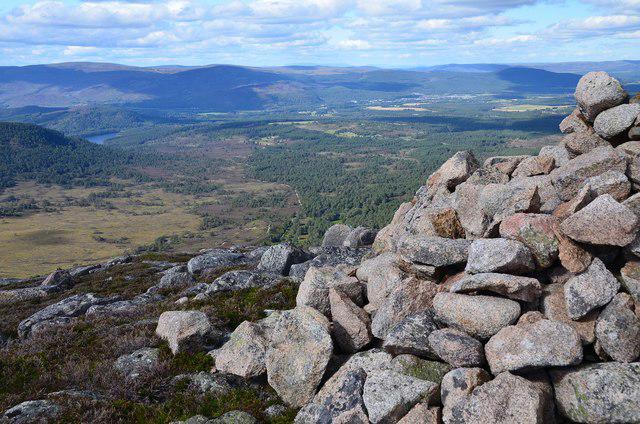 Photo could not load
NH9305 : Northwest from Carn Eilrig summit
Jim Barton
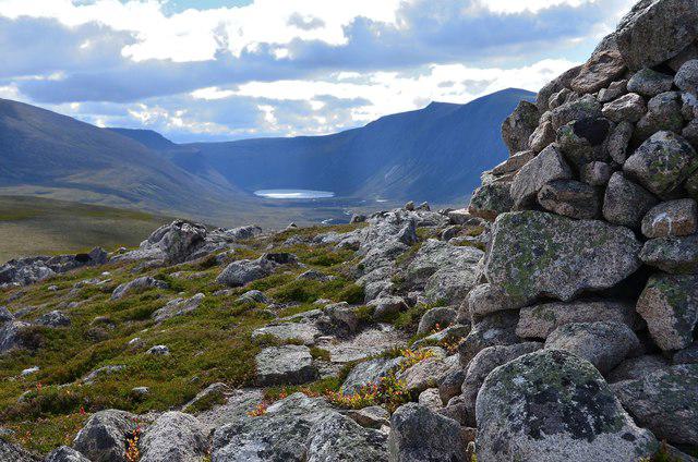 Photo could not load
NH9305 : Gleann Eanaich from Carn Eilrig summit
Jim Barton
Hill facts and local notes
Classifications
Elevation
742m
2,434 ft
Prominence
113m
Coordinates
57.1263, -3.7557
NH938053
OS Map
36
Explorer: OL57S 403S
At the Summit
The summit features a small stone cairn, perfect for a photo op. If you’re lucky, you might even find a local sheep keeping watch!
Terrain & Geology
Carn Eilrig is primarily composed of granite and schist, offering a fascinating display of geological history. The terrain reflects the erosion and sculpting by glacial activity, showcasing the natural artistry of the Scottish landscape.
Views & Scenery
From the summit, you can see the imposing peaks of the Monadhliath Mountains, Loch Ness, and on a clear day, even the mighty Ben Nevis in the distance.
History & Heritage
Name Origin
Carn Eilrig translates to 'Hill of the Dales' in Scots Gaelic, reflecting its serene and pastoral surroundings.
Historical Significance
The mountain holds cultural significance for local communities, often featured in folklore and serving as a scenic spot for outdoor gatherings.
Getting There & Facilities
Check current local access restrictions, parking rules and transport timetables before travelling. These notes do not confirm public access to the summit.
Parking
There is a small car park by Kilmorack Bridge. It's advisable to arrive early during peak seasons as spots can fill up quickly.
Public Transport
Limited public transport is available; the nearest bus stop is in Beauly, approximately 7 miles away. A taxi from Beauly may be required.
Nearby Facilities
Cafes and toilets are available in Beauly. Plan your visit accordingly as amenities on the mountain are non-existent!
Safety Information
Known Hazards
- Beware of sudden weather changes typical of the Highlands. The terrain can be wet and boggy, especially after rains, so sturdy footwear is a must.
General Safety Tips
- Check weather conditions before setting out
- Carry appropriate clothing and equipment
- Let someone know your planned route
- Take a map, compass, and GPS device
- Carry emergency supplies: food, water, first aid kit, torch
Hills
Some common questions about the hills answered
Are there group walks up Carn Eilrig?
Many walkers use Walkmates to join or organise walks with others. You can check for group walks around Carn Eilrig through the maps
Are there other walkers around Carn Eilrig?
Activity varies by location and time, but Walkmates lets you see whether others have shared walks or shown interest in this area. Find other people through the walking friends search walking friends for Carn Eilrig search or of course create your own walk for Carn Eilrig
Can I organise a walk to Carn Eilrig?
Yes. If there aren’t any walks listed already, you can create a walk and make it available for others to join.
If you're signed up to Walkmates, you can create a walk to Carn Eilrig.
How do I find a walk up this hill?
There are often multiple ways to walk this hill, depending on experience and route preference. Walkmates helps you explore walks and routes that others have shared.
Can I suggest a new route up Carn Eilrig?
Yes. You can suggest or create routes to share with others. Walkmates focuses on the social side of walking, so routes are used to help people organise walks and explore areas together, rather than as detailed navigation tools or route libraries.
Other uses really appreciate knowledgeable walkers sharing their routes. Share your favourite route to Carn Eilrig here
The is an error or something incorrect about this hill. How do I let you know?
We always strive to keep the information on Walkmates as accurate as possible. If you find an error, please let us know through the contact form and we'll aim to correct it as quickly as possible
Community Discussion
Comments
Location
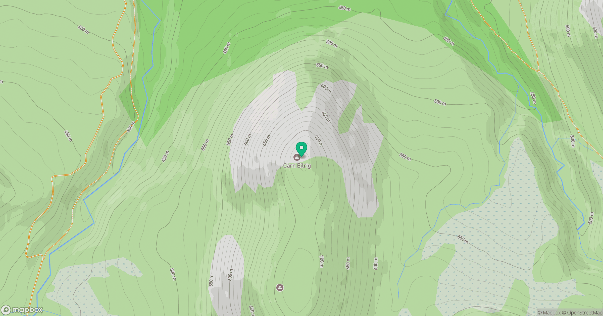
Grid reference: NH938053
View on OpenStreetMapOpens a map in a new tab, centred on the hill.
Hills within 30 km
Straight-line distance, not a walking route or confirmation of access.
Braeriach
1,296m
Sgor Gaoith
1,116m
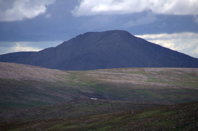
Cairn Toul
1,292m
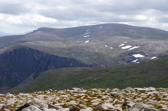
Ben Macdui [Beinn Macduibh]
1,309m
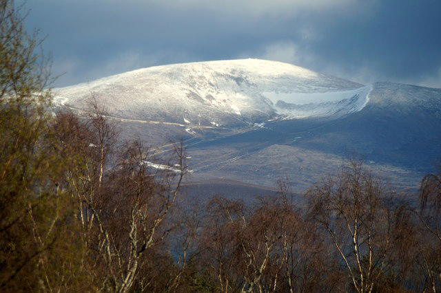
Cairn Gorm
1,245m
No comments yet. Be the first.