
Creag Bheag
Good walks are even better shared.
Overview
Creag Bheag: The Little Crag with a Big Heart
Welcome to Creag Bheag! Nestled in the heart of the Scottish Highlands, this Marilyn offers more than just a workout; it presents an opportunity to immerse yourself in the stunning beauty of Scotland.
Geology
Creag Bheag’s geology is characterized by ancient schist and granite, forming rugged rocky outcrops and captivating geological formations that whisper tales of the earth's history. Along the trail, take a moment to appreciate these rocks – many of them have been around longer than your great-grandmother!
Routes
Two popular routes lead to the summit:
Glen Lochay Route
- Distance: 8.5 km, Time: 3.5 hours
- A scenic path that meanders gently upward, this route is ideal for those who enjoy a leisurely hike with plenty of photo opportunities.
Inverlochlarig Route
- Distance: 7.0 km, Time: 3.0 hours
- Slightly steeper but rewarding, this challenging path will have your legs feeling the burn, but the views are worth every step.
Summit Features
At the summit, you’ll find a modest cairn—perfect for a victory photo! And if nobody is around, consider a quick jig; after all, why not celebrate your achievement?
Terrain
The terrain is a delightful mix of grassy slopes and rocky crags. Just watch out for those boggy patches; they have a tendency to surprise unwary hikers!
Views
From the peak, panoramic vistas stretch out before you. On a clear day, you might spot Ben More and the glistening Loch Tay. For the best views, aim for late spring to early autumn, or catch breathtaking sunrises in the summer months.
Hazards
Keep an eye on the weather; it can change faster than you can say “Scottish summer.” Loose rocks require caution, and a good pair of hiking boots will serve you well.
Nearby Summits
Don’t miss the chance to explore nearby peaks such as Ben More (1174m) and Meall nan Tarmachan (1044m). They are waiting just around the corner, eager to share their beauty with you.
Access
The nearest car park can be found at Glen Lochay, making access relatively straightforward. While the public transport options are limited, a taxi from Killin could do the trick. Make sure to stock up in Killin, as it’s the closest town with cafes and shops.
Facilities
In Killin, you’ll find all the essentials, including cafes and toilets. Make sure to grab a coffee before your adventure—none of us want to face the wilds without a caffeine boost!
History
The name Creag Bheag, meaning 'little crag' in Gaelic, perfectly embodies this enchanting peak. Rich in local folklore and natural beauty, it’s a place where history and adventure come to life.
Whether you’re a seasoned hiker or a newcomer to the hills, Creag Bheag promises an unforgettable experience!
Happy hiking!
Explore routes near Creag Bheag
Walks starting near this hill. Open a route to check its map, distance and full itinerary.
Aberfeldy: Glassie Woodland and River Tay Circular
View route
Unled club outing: West Drumochter/Beinn Udlamain (coach departure)
View route
Unled club outing: Glenesk (coach departure)
View route
Unled club outing: Xmas Walk - Bankfoot - Dunkeld (coach departure)
View route
Route planning notes
These notes describe possible approaches. Check a route's map and access information when planning your walk.
Glen Lochay Route
A scenic route starting from Glen Lochay leading directly to the summit of Creag Bheag, offering beautiful views and a gentle incline.
Inverlochlarig Route
Starting from the Inverlochlarig car park, this route is slightly steeper but rewards hikers with stunning views across the surrounding valleys.
Make a day of it, together
Find someone to share the walk with, or organise a day out along a route you like.
Hill facts and local notes
Classifications
Elevation
434m
1,424 ft
Prominence
30m
Coordinates
56.5678, -3.6500
NN987429
OS Map
52 53
Explorer: 379E
At the Summit
The summit features a modest cairn, a perfect spot for a well-deserved snack (or an impromptu dance party if you're feeling it!).
Terrain & Geology
Creag Bheag is primarily composed of ancient schist and granite, resulting in rocky outcrops that showcase the geological history of the area. The weathering of these rocks has also created interesting formations and a variety of small, delightful scree patches.
Views & Scenery
From the summit, you can catch a glimpse of Ben More, the enchanting Loch Tay, and the expansive Highland landscape, perfect for daydreaming.
History & Heritage
Name Origin
Creag Bheag translates to 'little crag' in Gaelic, a fitting moniker for this charming peak.
Historical Significance
The area is steeped in local lore, with tales of hidden treasures and local wildlife abound. It's a place where history and nature intertwine beautifully.
Getting There & Facilities
Parking
There is a small car park at Glen Lochay (NN 646388), which serves as an excellent starting point for the hike.
Public Transport
While public transport is sparse, buses do occasionally run from Callander to nearby villages, though a taxi may be needed for the final approach.
Nearby Facilities
In Killin, you’ll find several cafes and local shops for essentials. Toilets are available at the public park in the village.
Safety Information
Known Hazards
- Beware of sudden weather changes—Scottish weather can be as stubborn as a mule!
- Loose rocks on steeper sections can pose a slipping hazard, so mind your footing.
General Safety Tips
- Check weather conditions before setting out
- Carry appropriate clothing and equipment
- Let someone know your planned route
- Take a map, compass, and GPS device
- Carry emergency supplies: food, water, first aid kit, torch
Hills
Some common questions about the hills answered
Are there group walks up Creag Bheag?
Many walkers use Walkmates to join or organise walks with others. You can check for group walks around Creag Bheag through the maps
Are there other walkers around Creag Bheag?
Activity varies by location and time, but Walkmates lets you see whether others have shared walks or shown interest in this area. Find other people through the walking friends search walking friends for Creag Bheag search or of course create your own walk for Creag Bheag
Can I organise a walk to Creag Bheag?
Yes. If there aren’t any walks listed already, you can create a walk and make it available for others to join.
If you're signed up to Walkmates, you can create a walk to Creag Bheag.
How do I find a walk up this hill?
There are often multiple ways to walk this hill, depending on experience and route preference. Walkmates helps you explore walks and routes that others have shared.
Can I suggest a new route up Creag Bheag?
Yes. You can suggest or create routes to share with others. Walkmates focuses on the social side of walking, so routes are used to help people organise walks and explore areas together, rather than as detailed navigation tools or route libraries.
Other uses really appreciate knowledgeable walkers sharing their routes. Share your favourite route to Creag Bheag here
The is an error or something incorrect about this hill. How do I let you know?
We always strive to keep the information on Walkmates as accurate as possible. If you find an error, please let us know through the contact form and we'll aim to correct it as quickly as possible
Community Discussion
Comments
Location
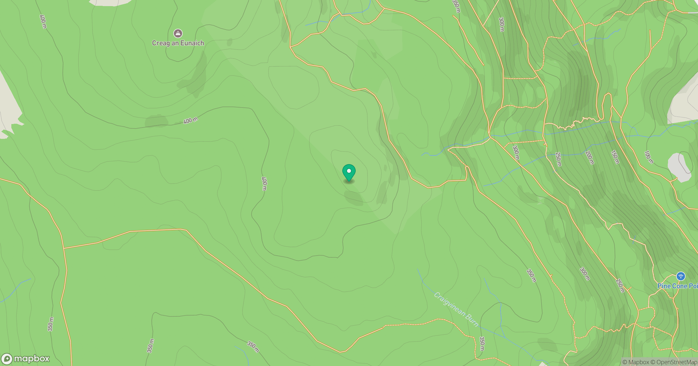
Grid reference: NN987429
View on OpenStreetMapOpens a map in a new tab, centred on the hill.
No comments yet. Be the first.