

Craig Obney
Good walks are even better shared.
Overview
Craig Obney Overview
Craig Obney, standing tall at 640 metres, is a Marilyn located in the picturesque Scottish Highlands. A beacon for hikers, it not only offers stunning views but also boasts a fascinating geological background.
Geology
Predominantly granite, Craig Obney showcases the rugged beauty typical of the Highlands. The rock formations here tell a tale of ancient glaciers that once roamed this region. Apropos to its name, the summit's granite features provide a firm handhold for climbers and an awe-inspiring backdrop for photographs.
Routes
The North Ridge Route begins in the charming village of Lochearnhead and is an enjoyable trek of approximately 8.5 km. It typically takes around 3.5 hours to complete, rated as Moderate, making it a suitable challenge for most walkers. Keep your eyes peeled for the spectacular views awaiting you at the summit!
Summit Features
At the top, adventurers will be greeted by a substantial granite cairn. Whether you're catching your breath or diving into that sandwich you packed, this is the place to soak in the majestic views and snap a selfie!
Terrain Type
The terrain is a delightful mix of rocky outcrops and lush grassy patches. Some sections are quite exposed, adding a sprinkle of exhilaration to your hike. Beware of loose stones, particularly near the top, which can make for an impromptu game of dodge-the-rock!
Views
The summit rewards hikers with breathtaking views of Loch Earn and surrounding hills. Best explored during Spring and Autumn, the weather offers the most clarity and vibrant colours. If you're an early riser, sunrise views are simply spectacular – just don’t forget to set your alarm!
Hazards
While the trek is rewarding, keep an eye on the weather, which can change quicker than you can say 'Scottish midge.' Loose rocks on the route mean you should watch your step, and coming prepared with appropriate gear is always wise.
Nearby Summits
Don't miss nearby peaks such as Ben Vorlich and Stuc a' Chroin, each offering its own unique vistas and hiking challenges. Perfect for those wanting a wee bit more adventure!
Access
You can park near Lochearnhead, where there's a small car park with room for approximately 10 vehicles. If you're hopping on a bus, there's a decent service from Callander, making it accessible for non-drivers.
Facilities
After your hike, treat yourself to one of Lochearnhead's lovely cafes or take advantage of public toilets to freshen up. Nothing like a hot cup of tea after a day on the hills!
History
The name 'Craig Obney' derives from Gaelic and Norse roots, celebrated by local communities as a cherished hiking destination. Its prominence in the historical tapestry of the Highlands lends it a cultural significance that resonates with both locals and visitors alike.
Whether you're a seasoned hiker or a casual walker, Craig Obney is undoubtedly a gem among the hills of Scotland. So lace up those boots, pack your sense of adventure, and breathe in the beauty of the Scottish Highlands!
Explore routes near Craig Obney
Public walks starting within 80 km of this hill. Nearby does not mean a route reaches the summit; check its map and access before setting out.
Club outing: Glen Ogle and Killin (coach departure)
View route
Unled club outing: Glenesk (coach departure)
View route
Unled club outing: Xmas Walk - Bankfoot - Dunkeld (coach departure)
View route
Unled club outing: Angus coastal walk (coach departure)
View route
Route planning notes
These notes describe possible approaches, not verified navigable routes or permission to cross land. Check current paths, local access rules and conditions before setting out.
North Ridge Route
Starting from the village of Lochearnhead, this picturesque route leads you up the scenic North Ridge, offering stunning views of the surrounding landscape.
Make a day of it, together
Find someone to share the walk with, or organise a day out along a route you like.
Photo Gallery
View all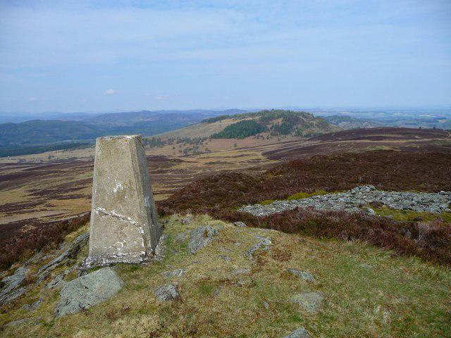 Photo could not load
NO0238 : Summit Craig Obney
ronnie leask
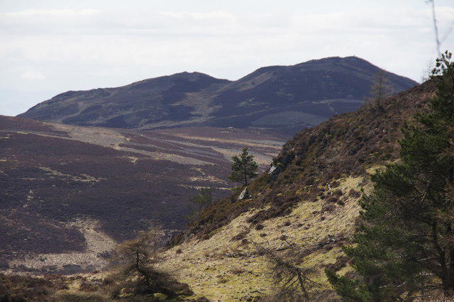 Photo could not load
NO0238 : Obney Hills from the slopes of Birnam Hill
Mike Pennington
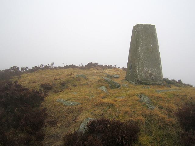 Photo could not load
NO0238 : Craig Obney summit
Richard Webb
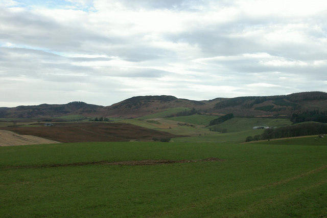 Photo could not load
NO0238 : Obney Hill
Alistair Bell
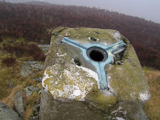 Photo could not load
NO0238 : Craig Obney triangulation pillar
Richard Webb
Hill facts and local notes
Classifications
Elevation
403m
1,323 ft
Prominence
126m
Coordinates
56.5258, -3.5911
NO022382
OS Map
52 53
Explorer: 379E
At the Summit
The summit of Craig Obney features a substantial granite cairn, standing as a beacon for wayward wanderers and providing a fantastic spot for a well-deserved picnic.
Terrain & Geology
Craig Obney is predominantly composed of granite, which contributes to its rugged beauty and provides excellent climbing surfaces for adventurous souls. The area is also rich in glacial features, reflecting the region's dynamic geological history.
Views & Scenery
From the summit, you can enjoy panoramic views of Loch Earn, the surrounding hills, and on a clear day, the distant summits of the southern Highlands.
History & Heritage
Name Origin
The name 'Craig' comes from the Scots Gaelic word 'creag', meaning 'rock', while 'Obney' derives from the Old Norse 'Hobni', possibly referring to a hill or mound.
Historical Significance
Craig Obney is popular with local walkers and has historical significance for the community as a landmark and a traditional hiking route.
Getting There & Facilities
Check current local access restrictions, parking rules and transport timetables before travelling. These notes do not confirm public access to the summit.
Parking
There is a small car park at the start of the North Ridge Route in Lochearnhead, with spaces for approximately 10 vehicles.
Public Transport
Regular bus services operate from Callander to Lochearnhead, making it accessible for those relying on public transport.
Nearby Facilities
The nearby village of Lochearnhead has a couple of cafes for post-hike refreshments, as well as public toilets to freshen up.
Safety Information
Known Hazards
- Watch for loose rocks on the ascent, particularly in the higher sections. Weather can change rapidly, so always be prepared for rain, wind, or even the infamous Scottish midge.
General Safety Tips
- Check weather conditions before setting out
- Carry appropriate clothing and equipment
- Let someone know your planned route
- Take a map, compass, and GPS device
- Carry emergency supplies: food, water, first aid kit, torch
Hills
Some common questions about the hills answered
Are there group walks up Craig Obney?
Many walkers use Walkmates to join or organise walks with others. You can check for group walks around Craig Obney through the maps
Are there other walkers around Craig Obney?
Activity varies by location and time, but Walkmates lets you see whether others have shared walks or shown interest in this area. Find other people through the walking friends search walking friends for Craig Obney search or of course create your own walk for Craig Obney
Can I organise a walk to Craig Obney?
Yes. If there aren’t any walks listed already, you can create a walk and make it available for others to join.
If you're signed up to Walkmates, you can create a walk to Craig Obney.
How do I find a walk up this hill?
There are often multiple ways to walk this hill, depending on experience and route preference. Walkmates helps you explore walks and routes that others have shared.
Can I suggest a new route up Craig Obney?
Yes. You can suggest or create routes to share with others. Walkmates focuses on the social side of walking, so routes are used to help people organise walks and explore areas together, rather than as detailed navigation tools or route libraries.
Other uses really appreciate knowledgeable walkers sharing their routes. Share your favourite route to Craig Obney here
The is an error or something incorrect about this hill. How do I let you know?
We always strive to keep the information on Walkmates as accurate as possible. If you find an error, please let us know through the contact form and we'll aim to correct it as quickly as possible
Community Discussion
Comments
Location
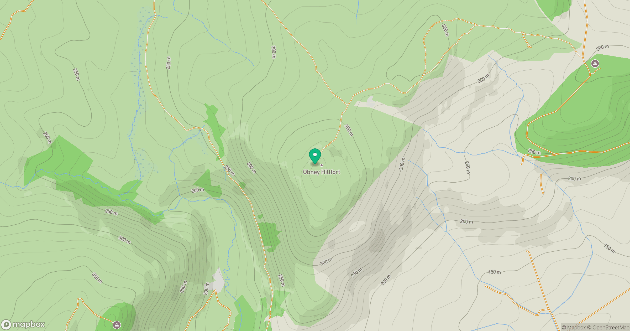
Grid reference: NO022382
View on OpenStreetMapOpens a map in a new tab, centred on the hill.
Hills within 30 km
Straight-line distance, not a walking route or confirmation of access.
Birnam Hill - King's Seat
404m
Newtyle Hill
317m
Craig a Barns
360m
Creag na Criche
457m
Deuchary Hill
511m
No comments yet. Be the first.