

Creag a' Chapuill
Good walks are even better shared.
Overview
Creag a' Chapuill: A Gem in the Highlands
Rising majestically at an elevation of 652 meters, Creag a' Chapuill is a splendid Munro located in the heart of the Scottish Highlands. With its brilliant geological formations and stunning vistas, it's a must-visit for avid hikers and outdoor enthusiasts alike.
Geology
Creag a' Chapuill is a marvel of geology, primarily made up of granite. This rocky giant gives a glimpse into the ancient volcanic activity that shaped the Highlands. The striking crags tell tales of glaciation and erosion that sculpted the landscape into its current grandeur.
Access and Facilities
Parking is available at a nearby layby along the A83, with a few spaces for cars. Those relying on public transport should be prepared for limited options, with the nearest services found in Tarbet. Tarbet itself is a charming village where hikers can find a café or two to refuel before or after their adventure.
Hiking Routes
The North Ridge Route is the most popular option for ascenders. The trail, covering around 8.5 km, promises a moderate challenge, with plenty of rocky sections to navigate. Allow about 3.5 hours to reach the summit – and don't forget your camera!
Summit Features
Upon reaching the summit, you'll be greeted by a stone cairn, a welcome sight for those who have successfully braved the tricky terrain. The panoramic views of Loch Fyne and the Arrochar Alps will have you declaring that the effort was well worth it.
Views
Make no mistake, on a clear day, the views from the top are nothing short of magnificent. The lush greenery below and the craggy peaks around you create a breathtaking tapestry. Best seen during the late spring or summer months, the sights are further enhanced at sunrise or sunset, echoing the golden hues of a long Scottish summer’s day.
Hazards
As with any Highland adventure, vigilance is key. The terrain can be tricky, with loose rocks and steep drops. A sudden change in weather can also lend its hand to challenges, so pack accordingly and maintain awareness of your surroundings.
Conclusion
Creag a' Chapuill may not be the tallest peak in Scotland, but it holds its own with character, views, and history packed into a delightful hiking experience. Whether you're seeking solitude amid nature or a challenge to test your mettle, this Munro delivers in spades!
Happy hiking!
Explore routes near Creag a' Chapuill
Public walks starting within 80 km of this hill. Nearby does not mean a route reaches the summit; check its map and access before setting out.
Crinan Canal: Bellanoch and Dunardry towpath return
View route
Glen Kin group walk
View route
Bishop’s Glen group walk
View route
West Bay walk and talk
View route
Route planning notes
These notes describe possible approaches, not verified navigable routes or permission to cross land. Check current paths, local access rules and conditions before setting out.
North Ridge Route
Starting from the well-trodden path near the A83, this route offers a steep but rewarding ascent. The north ridge leads through lush heather and rocky scrambles, perfect for those looking for a bit of a workout while enjoying breathtaking scenery.
Make a day of it, together
Find someone to share the walk with, or organise a day out along a route you like.
Photo Gallery
View all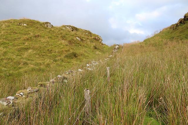 Photo could not load
NM8502 : Boundary wall and fence
Patrick Mackie
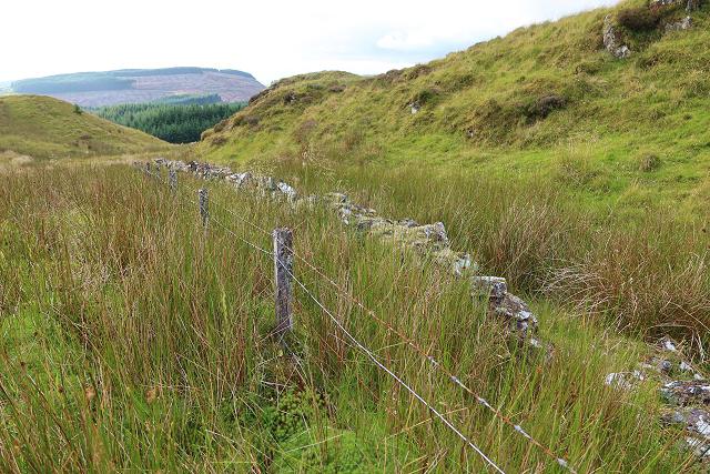 Photo could not load
NM8502 : Boundary wall and fence
Patrick Mackie
 Photo could not load
NM8502 : Creag a'Chapuill from the north-west
Patrick Mackie
 Photo could not load
NM8502 : Hill fort on Creag a'Chapuill
Patrick Mackie
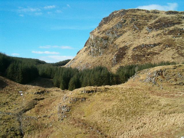 Photo could not load
NM8502 : Creag a Chapuill taken from the slopes of Creag an Tairbh
Patrick Mackie
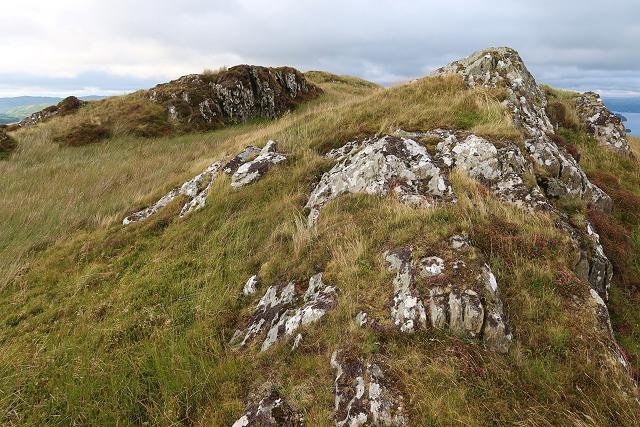 Photo could not load
NM8502 : The rocky summit of Creag a' Chapuill
Patrick Mackie
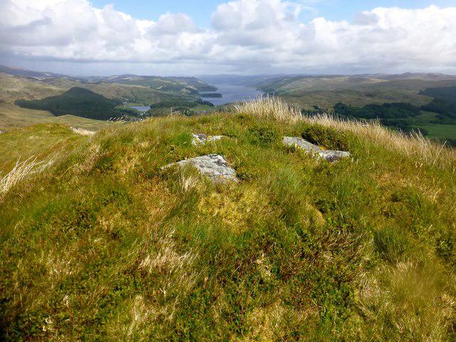 Photo could not load
NM8502 : Creag a'Chapuill
Rude Health
Hill facts and local notes
Classifications
Elevation
282m
925 ft
Prominence
123m
Coordinates
56.1656, -5.4557
NM855023
OS Map
55
Explorer: 358N 360S
At the Summit
At the summit, you will find a well-established stone cairn that beckons for photos. The expansive views will leave you breathless, though not quite as much as the uphill trek to get there.
Terrain & Geology
Creag a' Chapuill is primarily composed of granite, offering a fine example of the geological processes that formed the Scottish Highlands. The rugged rock faces and craggy outcrops tell a story of ancient volcanic activity and glacial sculpting.
Views & Scenery
On a clear day, enjoy sweeping vistas of the surrounding hills and Loch Fyne to the north. The spectacular backdrop of the Arrochar Alps is particularly stunning.
History & Heritage
Name Origin
The name 'Creag a' Chapuill' translates loosely to 'rock of the head', hinting at the summit's distinctive shape and prominence in the landscape.
Historical Significance
This area is rich in history, from ancient tribes to more recent agricultural practices. The landscape has shaped not only the geography but the culture of the region.
Getting There & Facilities
Check current local access restrictions, parking rules and transport timetables before travelling. These notes do not confirm public access to the summit.
Parking
There is parking available at the A83 layby near the Clutha River, suitable for a few cars. Alternatively, parking can be found at the larger car park at the base of The Cobbler.
Public Transport
Public transport options are limited, with the nearest bus service running from Arrochar and Tarbet. Check the schedule in advance, as services may vary.
Nearby Facilities
There are no facilities directly on the mountain, but visitors can find cafes and shops in Tarbet. Toilets may be available at the nearby Loch Lomond National Park visitor centre.
Safety Information
Known Hazards
- Loose rocks and steep sections can pose a risk, especially in wet weather. Be wary of sudden weather changes common in the Highlands.
General Safety Tips
- Check weather conditions before setting out
- Carry appropriate clothing and equipment
- Let someone know your planned route
- Take a map, compass, and GPS device
- Carry emergency supplies: food, water, first aid kit, torch
Hills
Some common questions about the hills answered
Are there group walks up Creag a' Chapuill?
Many walkers use Walkmates to join or organise walks with others. You can check for group walks around Creag a' Chapuill through the maps
Are there other walkers around Creag a' Chapuill?
Activity varies by location and time, but Walkmates lets you see whether others have shared walks or shown interest in this area. Find other people through the walking friends search walking friends for Creag a' Chapuill search or of course create your own walk for Creag a' Chapuill
Can I organise a walk to Creag a' Chapuill?
Yes. If there aren’t any walks listed already, you can create a walk and make it available for others to join.
If you're signed up to Walkmates, you can create a walk to Creag a' Chapuill.
How do I find a walk up this hill?
There are often multiple ways to walk this hill, depending on experience and route preference. Walkmates helps you explore walks and routes that others have shared.
Can I suggest a new route up Creag a' Chapuill?
Yes. You can suggest or create routes to share with others. Walkmates focuses on the social side of walking, so routes are used to help people organise walks and explore areas together, rather than as detailed navigation tools or route libraries.
Other uses really appreciate knowledgeable walkers sharing their routes. Share your favourite route to Creag a' Chapuill here
The is an error or something incorrect about this hill. How do I let you know?
We always strive to keep the information on Walkmates as accurate as possible. If you find an error, please let us know through the contact form and we'll aim to correct it as quickly as possible
Community Discussion
Comments
Location
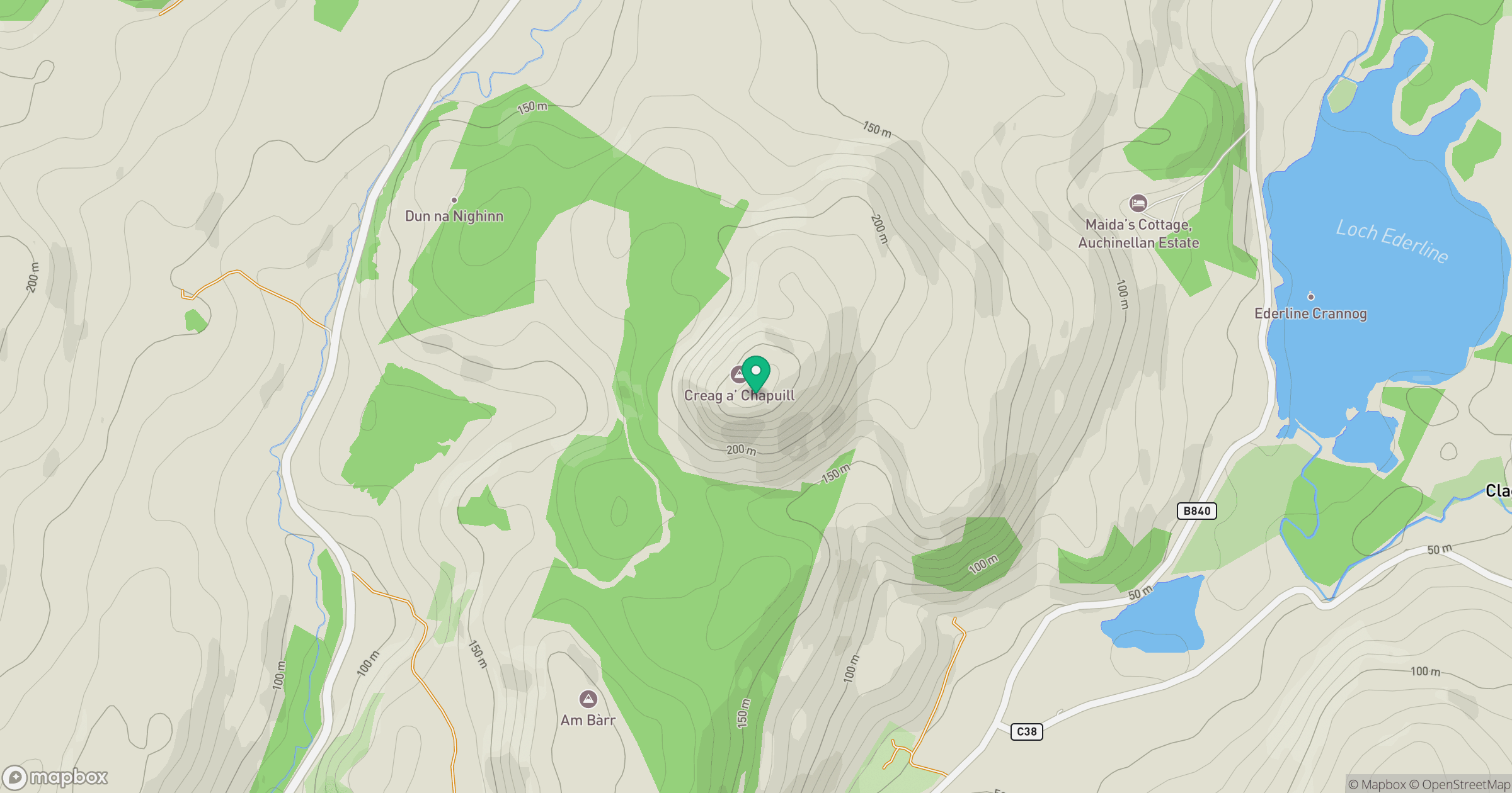
Grid reference: NM855023
View on OpenStreetMapOpens a map in a new tab, centred on the hill.
Hills within 30 km
Straight-line distance, not a walking route or confirmation of access.
No comments yet. Be the first.