

Cramalt Craig
Good walks are even better shared.
Overview
Overview
Cramalt Craig, standing tall at an elevation of 541 meters, is a prominent Marilyn in the heart of Scotland's Southern Uplands. Its rocky exterior and surrounding lush valleys make it a must-visit for any dedicated hiker or casual walker who enjoys a decent jaunt in the great outdoors.
Geology
Comprising primarily old red sandstone, Cramalt showcases age-old sedimentary rock formations that present a fascinating glimpse into Earth's geological history. Keep your eyes peeled for rare fossils, but don't blame us if the only thing you find is your camera stuck in a bush!
Access and Facilities
The nearest parking can be found at the village hall in West Linton. No need to ask for directions here; just follow the trail of the delicious smell of freshly baked treats wafting from the local cafés! Public transport options are also accessible, with regular buses from Edinburgh bounding their way to West Linton. Once you've conquered this Craig, don't forget to reward yourself with a stop at one of the lovely cafes in the village.
The Route
The Cramalt Craig Circular Route is your ticket to enjoying everything this beautiful landscape has to offer. Spanning approximately 8.5 km and taking around three hours to complete, it's a route that balances accessibility with the rugged charm of the area. Just don't forget your walking boots or you'll be squelching through some bogs that could steal your shoes!
Summit Features
Arriving at the summit, you'll be greeted by a prominent stone cairn that seems to beckon adventurous souls to take a moment and soak in the views. Just be sure to watch where you step; those lively grasses up there might decide they want to reclaim their space.
Views
The vista from the top is nothing short of breathtaking, offering fantastic panoramic views of the Southern Uplands and the Pentland Hills. Ideal times to take in the beauty are during the spring and autumn seasons, but you'll need to be cautious of the infamous Scottish midges in summer – they love a good view as much as you do!
Hazards
As with any outdoor adventure, be aware of the hazards like slippery stones in damp conditions and the occasional cheeky sheep trying to assert their territory. Always start with a clear head and make sure to pack the essentials.
Conclusion
Cramalt Craig is more than just a Marilyn; it's a celebration of the Scottish landscape, packed with stunning views, geological wonders, and a hearty slice of history. So lace up your walking boots, grab your walking sticks, and prepare for an unforgettable day out in the hills!
Explore routes near Cramalt Craig
Public walks starting within 80 km of this hill. Nearby does not mean a route reaches the summit; check its map and access before setting out.
Cademuir Forest Pilots Trail
View route
Peebles to Neidpath Castle: Tweed Riverside Walk
View route
Moffat Gallow Hill Woodland and Viewpoint Circuit
View route
Selkirk Ettrick Water North Riverside Circuit
View route
Route planning notes
These notes describe possible approaches, not verified navigable routes or permission to cross land. Check current paths, local access rules and conditions before setting out.
Cramalt Craig Circular Route
A well-defined path leading from the car park near the village of West Linton, this circular route offers a scenic trek around the Craig, allowing you to soak in the sights without needing a compass and protractor.
Make a day of it, together
Find someone to share the walk with, or organise a day out along a route you like.
Photo Gallery
View all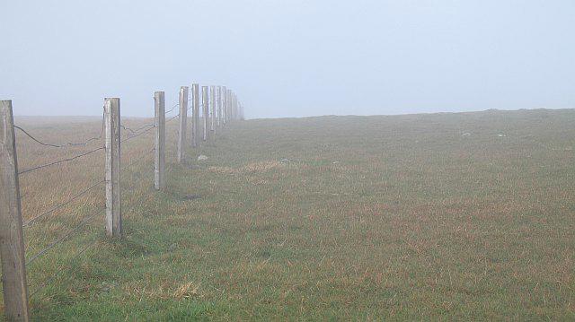 Photo could not load
NT1624 : March fence, Cramalt Craig
Richard Webb
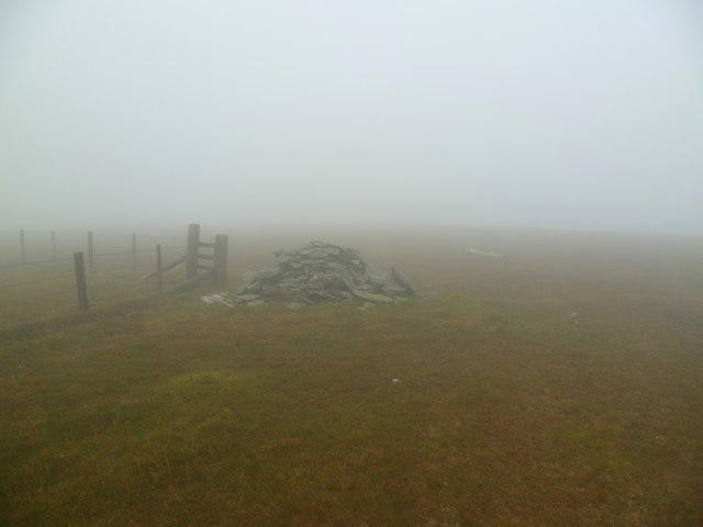 Photo could not load
NT1624 : On Cramalt Craig
Michael Graham
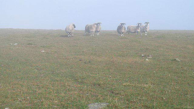 Photo could not load
NT1624 : Stalked by sheep, Cramalt Craig
Richard Webb
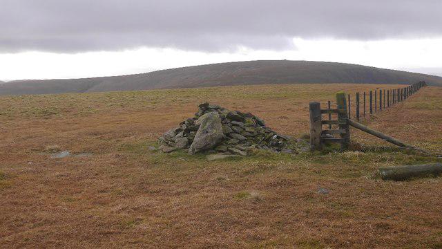 Photo could not load
NT1624 : Summit, Cramalt Craig
Richard Webb
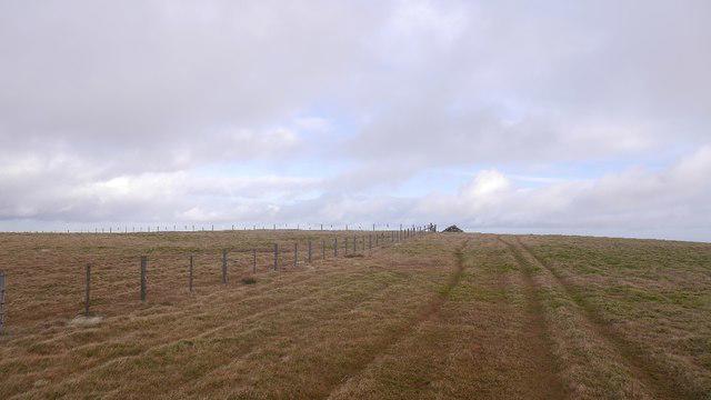 Photo could not load
NT1624 : Cramalt Craig summit
Richard Webb
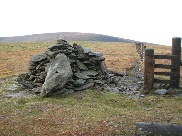 Photo could not load
NT1624 : Cramalt Craig cairn
Callum Black
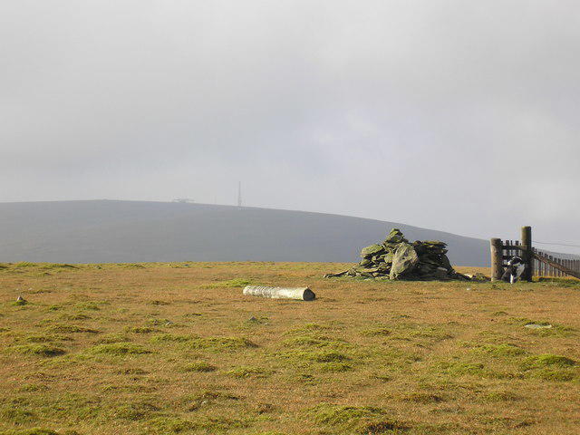 Photo could not load
NT1624 : The Cramalt Craig summit looking to Broad Law
Iain Lees
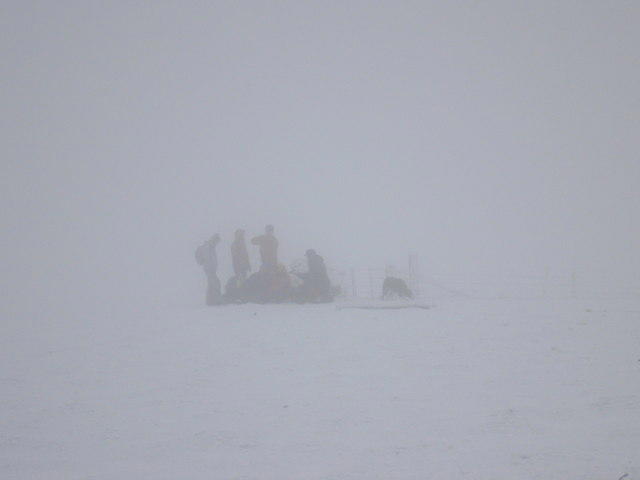 Photo could not load
NT1624 : The Summit of Cramalt Craig, springs out the Mist
Iain Lees
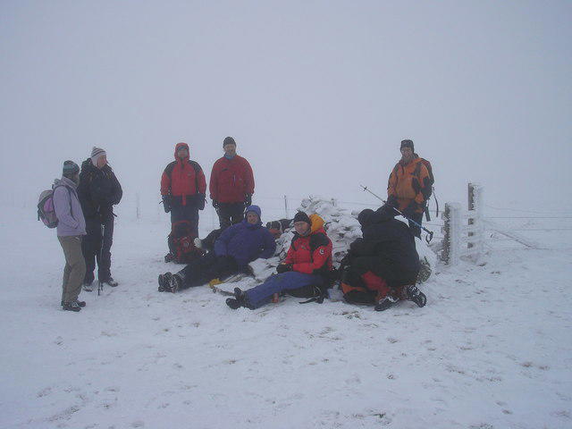 Photo could not load
NT1624 : The Summit Cairn on Cramalt Craig
Iain Lees
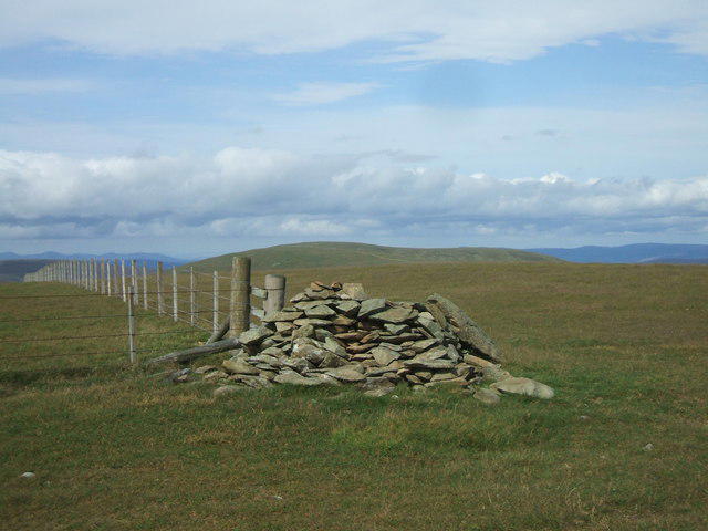
NT1624 : Summit of Cramalt Craig
Iain Russell
Hill facts and local notes
Classifications
Elevation
830m
2,724 ft
Prominence
147m
Coordinates
55.5093, -3.3182
NT168247
OS Map
72
Explorer: 336
At the Summit
At the summit, you'll find a large stone cairn, which is a perfect vantage point for a selfie to impress your friends back home. A few hardy grass clumps poke through the rocky surface, reminding you that life finds a way, even at altitude.
Terrain & Geology
The mountain is primarily composed of Old Red Sandstone, featuring sedimentary rock formations that have stood the test of time. Interesting fossils can sometimes be spotted if you look closely – just don't trip over a stone trying to find one!
Views & Scenery
From the summit, enjoy panoramic views of the surrounding valleys and hills, including the imposing Pentland Hills to the south and the vast expanses of the Southern Uplands. Just watch out for any sheep who may challenge your right to be up there!
History & Heritage
Name Origin
The name Cramalt derives from the Old Scots term 'cramaelt', meaning rocky or rugged – a fitting description for a mountain that doesn't pull any punches.
Historical Significance
Historically, the area has been significant for its farming roots and the nearby Roman roads which traversed the Scottish landscape, so you can walk in the footsteps of ancient history (and maybe find an interesting stone or two).
Getting There & Facilities
Check current local access restrictions, parking rules and transport timetables before travelling. These notes do not confirm public access to the summit.
Parking
There is ample parking at the West Linton village hall, just a short walk to the start of the route. Just make sure you don't park too close to the back – they like to keep that clear for the local bingo night.
Public Transport
Regular buses run from Edinburgh to West Linton. Check the local timetable for the most convenient connections.
Nearby Facilities
The village of West Linton has several charming cafes for a pre- or post-hike treat, and public toilets are available in the village. It's said that the cakes are the real reason people come here. Don't tell anyone, but that's where the 'high' in highland cakes comes from!
Safety Information
Known Hazards
- Be cautious of slippery stones, particularly in damp conditions. Also, it's best to have a word with the local sheep regarding the right of way!
General Safety Tips
- Check weather conditions before setting out
- Carry appropriate clothing and equipment
- Let someone know your planned route
- Take a map, compass, and GPS device
- Carry emergency supplies: food, water, first aid kit, torch
Hills
Some common questions about the hills answered
Are there group walks up Cramalt Craig?
Many walkers use Walkmates to join or organise walks with others. You can check for group walks around Cramalt Craig through the maps
Are there other walkers around Cramalt Craig?
Activity varies by location and time, but Walkmates lets you see whether others have shared walks or shown interest in this area. Find other people through the walking friends search walking friends for Cramalt Craig search or of course create your own walk for Cramalt Craig
Can I organise a walk to Cramalt Craig?
Yes. If there aren’t any walks listed already, you can create a walk and make it available for others to join.
If you're signed up to Walkmates, you can create a walk to Cramalt Craig.
How do I find a walk up this hill?
There are often multiple ways to walk this hill, depending on experience and route preference. Walkmates helps you explore walks and routes that others have shared.
Can I suggest a new route up Cramalt Craig?
Yes. You can suggest or create routes to share with others. Walkmates focuses on the social side of walking, so routes are used to help people organise walks and explore areas together, rather than as detailed navigation tools or route libraries.
Other uses really appreciate knowledgeable walkers sharing their routes. Share your favourite route to Cramalt Craig here
The is an error or something incorrect about this hill. How do I let you know?
We always strive to keep the information on Walkmates as accurate as possible. If you find an error, please let us know through the contact form and we'll aim to correct it as quickly as possible
Community Discussion
Comments
Location
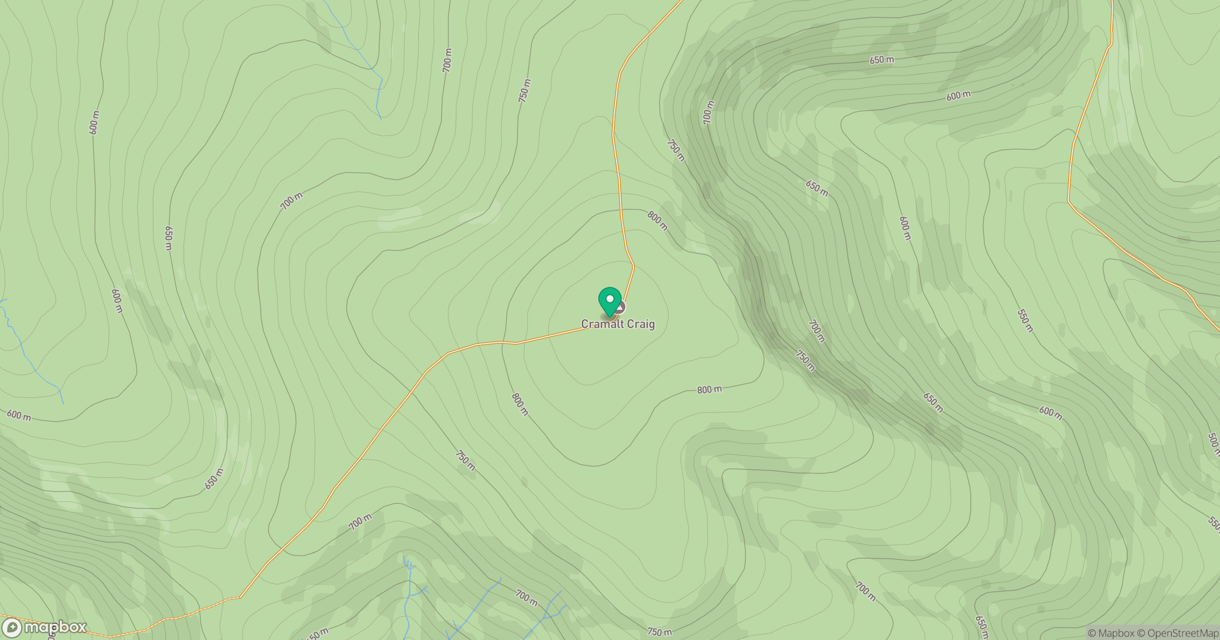
Grid reference: NT168247
View on OpenStreetMapOpens a map in a new tab, centred on the hill.
Hills within 30 km
Straight-line distance, not a walking route or confirmation of access.

No comments yet. Be the first.