

Craiglich
Good walks are even better shared.
NJ5305 : Summit of Craiglich
Stanley Howe Photo source
Overview
Craiglich: A Hiker's Gem in the Scottish Highlands
Craiglich, standing at a respectable 613 meters, is a Marilyn that offers an enjoyable hike with plenty of character. Located in the heart of the Scottish Highlands, it provides splendid views and an interesting geological profile.
Geology
The mountain is mainly made up of granite with schist at its base, resulting in an intriguing mix of hard and softer rock. This unique composition creates stunning formations and provides an opportunity to ponder the earth’s history while you tackle the ascent.
Access and Parking
Getting to Craiglich is relatively straightforward. Located off the A95, the nearest parking area at the start of the route allows sufficient space for several vehicles. For those relying on public transport, regular buses from Aberlour conveniently drop you near the trailhead.
Route Description
The Craiglich Circuit is the most popular route, offering a moderate challenge with about 7 kilometres of hiking to grasp your attention. The path is well-marked, making it easy for even the less experienced hikers to navigate without feeling like they’ve lost their marbles.
Summit Features
On reaching the summit, be greeted by a sturdy cairn and a trig point – perfect for the obligatory celebratory photo! And don't worry if you have to stretch your arms; there's enough space for you and your mates to fit in together.
Terrain and Views
Expect a rugged yet rewarding experience as you tackle rocky patches intermixed with grassy areas. The panoramic views from the top are well worth the effort. Take a moment to soak in the breathtaking sight of Glen Esk and beyond, particularly during spring or autumn when the colours really pop.
Hazards
As with all hiking in the Highlands, it’s essential to be aware of the potential weather changes. Keep an eye on the forecast and, should the clouds roll in, don’t be afraid to turn back. Loose rocks can also be an issue, so ensure you keep your feet steady on the ground.
Nearby Summits
If you’re feeling particularly adventurous, nearby mountains like Ben Rinnes and Carn Liath are excellent options to extend your hike.
Facilities
Once your hiking is done, head back to Aberlour where you’ll find friendly cafés, public toilets, and a chance to indulge in the local whisky. Perfect for telling tales of your day!
To sum it all up, Craiglich is more than just a hill; it’s a gateway to adventure and stunning views, where every step brings a sense of achievement. See you on the trails!
Explore routes near Craiglich
Walks starting near this hill. Open a route to check its map, distance and full itinerary.
Potarch to Shooting Greens: Deeside Way return
View route
Loch Kinord: Muir of Dinnet Woodland Circuit
View route
Pitfichie: Cairn William Trail
View route
Banchory to Milton of Crathes: Deeside Way return
View route
Route planning notes
These notes describe possible approaches. Check a route's map and access information when planning your walk.
Craiglich Circuit
A well-trodden path that loops around the mountain, offering a gradual ascent and stunning views of the surroundings.
Make a day of it, together
Find someone to share the walk with, or organise a day out along a route you like.
Photo Gallery
View all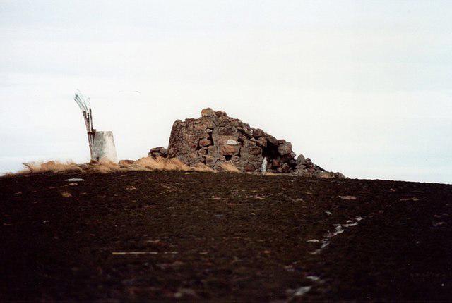 Photo could not load
NJ5305 : Summit of Craiglich
Stanley Howe
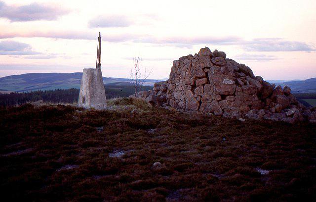 Photo could not load
NJ5305 : Summit of Craiglich
Richard Webb
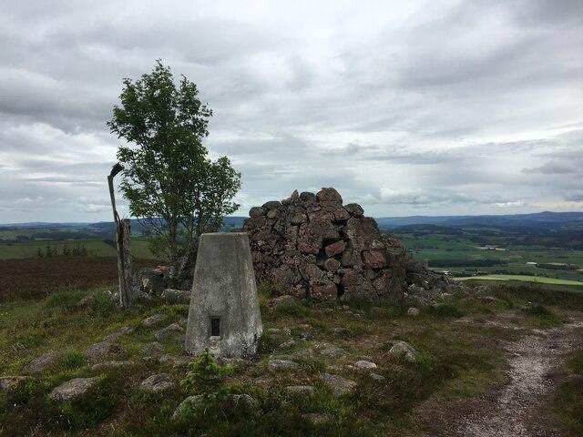 Photo could not load
NJ5305 : Trig point and dilapidated monument on Craiglich
Steven Brown
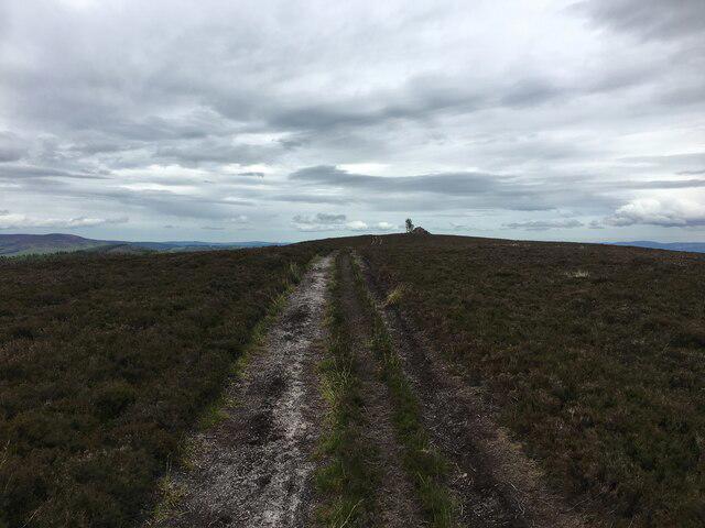 Photo could not load
NJ5305 : Path towards the summit of Craiglich
Steven Brown
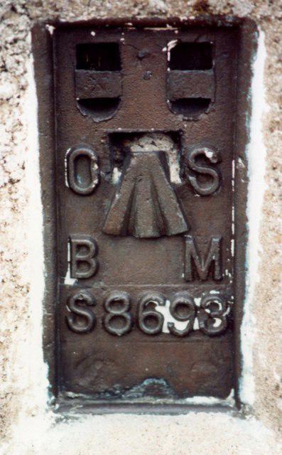 Photo could not load
NJ5305 : OS Bench Mark S8693 (1985)
Stanley Howe
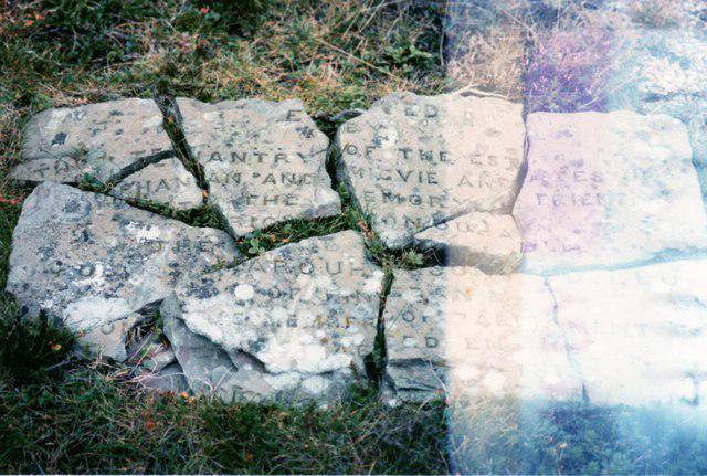 Photo could not load
NJ5305 : Fragments of a plaque on Craiglich
Stanley Howe
Hill facts and local notes
Classifications
Elevation
476m
1,562 ft
Prominence
167m
Coordinates
57.1374, -2.7731
NJ533054
OS Map
37
Explorer: OL59E 405E
At the Summit
The summit features a modest cairn and a trig point, perfect for that post-hike selfie – just don’t forget to bring a friend to take the picture!
Terrain & Geology
Craiglich is primarily composed of granite, with some underlying schist, which gives it a rugged yet interesting terrain. The weathered surface provides a unique opportunity to observe geological formations that have withstood the test of time.
Views & Scenery
From the summit, hikers can enjoy sweeping views of the Glen Esk valley and the distant peaks of the Grampians. On a clear day, the scenery is simply breath-taking.
History & Heritage
Name Origin
The name 'Craiglich' is thought to derive from the Scottish Gaelic for 'rocky hill', accurately reflecting its rugged terrain.
Historical Significance
The mountain holds significance in local folklore, with tales of bandits using the upper grounds as a lookout in the historic Jacobite times.
Getting There & Facilities
Parking
There is parking available at the start of the Craiglich Circuit, just off the A95, with enough room for several vehicles.
Public Transport
Regular bus services from nearby towns such as Aberlour serve the A95, allowing you to hop on and off conveniently.
Nearby Facilities
Aberlour offers public toilets and a couple of lovely cafés where you can grab a bite before or after your hike. Don’t miss trying the local whisky – it’s truly a treat!
Safety Information
Known Hazards
- Weather can change rapidly in the Highlands, so be prepared for sudden rain or strong winds. Stay on marked paths to avoid injury on loose rocks.
General Safety Tips
- Check weather conditions before setting out
- Carry appropriate clothing and equipment
- Let someone know your planned route
- Take a map, compass, and GPS device
- Carry emergency supplies: food, water, first aid kit, torch
Hills
Some common questions about the hills answered
Are there group walks up Craiglich?
Many walkers use Walkmates to join or organise walks with others. You can check for group walks around Craiglich through the maps
Are there other walkers around Craiglich?
Activity varies by location and time, but Walkmates lets you see whether others have shared walks or shown interest in this area. Find other people through the walking friends search walking friends for Craiglich search or of course create your own walk for Craiglich
Can I organise a walk to Craiglich?
Yes. If there aren’t any walks listed already, you can create a walk and make it available for others to join.
If you're signed up to Walkmates, you can create a walk to Craiglich.
How do I find a walk up this hill?
There are often multiple ways to walk this hill, depending on experience and route preference. Walkmates helps you explore walks and routes that others have shared.
Can I suggest a new route up Craiglich?
Yes. You can suggest or create routes to share with others. Walkmates focuses on the social side of walking, so routes are used to help people organise walks and explore areas together, rather than as detailed navigation tools or route libraries.
Other uses really appreciate knowledgeable walkers sharing their routes. Share your favourite route to Craiglich here
The is an error or something incorrect about this hill. How do I let you know?
We always strive to keep the information on Walkmates as accurate as possible. If you find an error, please let us know through the contact form and we'll aim to correct it as quickly as possible
Community Discussion
Comments
Location
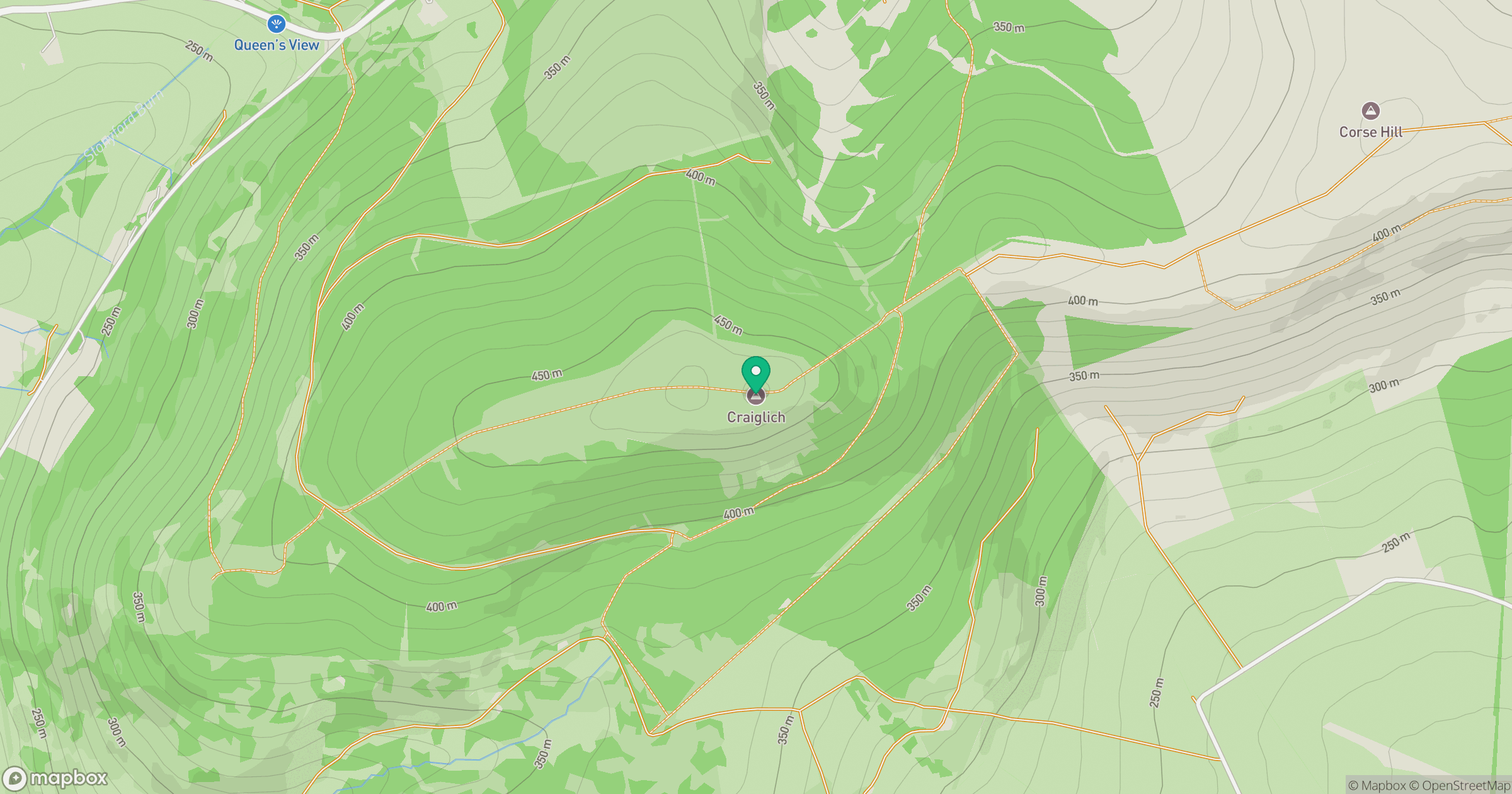
Grid reference: NJ533054
View on OpenStreetMapOpens a map in a new tab, centred on the hill.
No comments yet. Be the first.