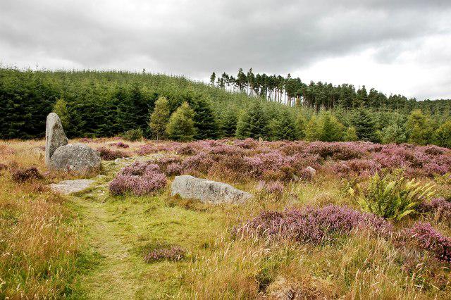
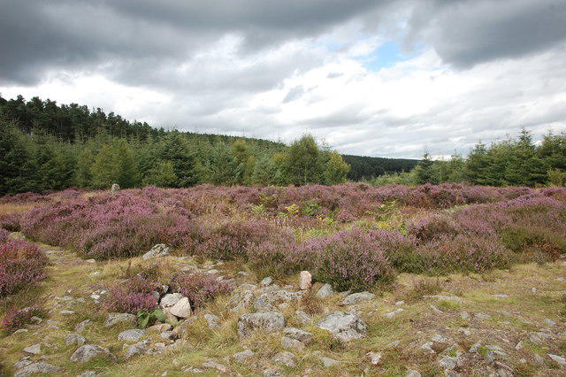
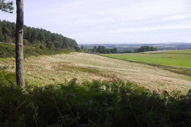
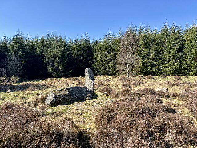
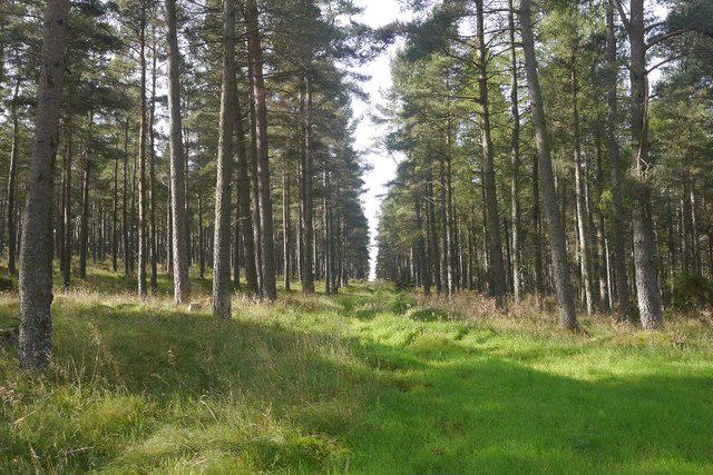
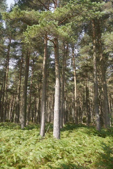
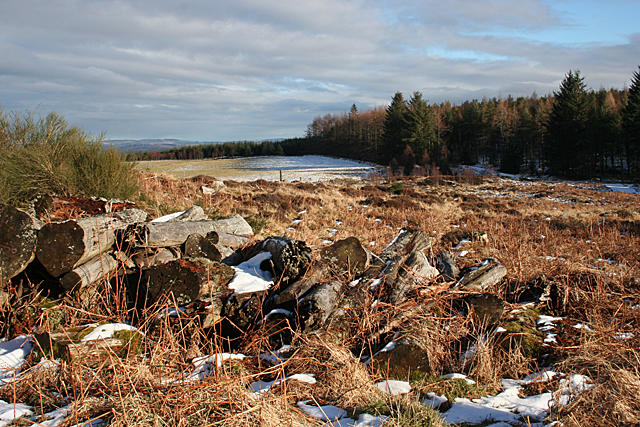
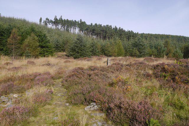
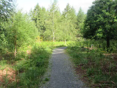
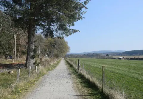
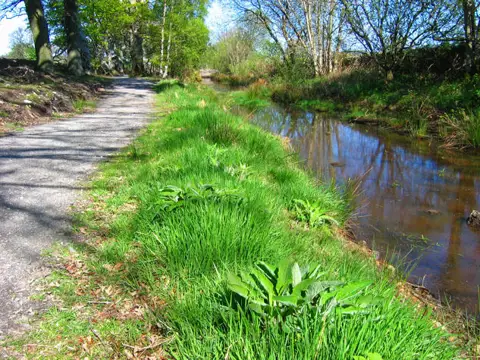
Spend a full day among the wooded slopes of Pitfichie on the Cairn William Trail. From the main forest car park, a long approach passes close to Whitehills Stone Circle before reaching the circuit around the lower slopes of Cairn William and Pitfichie Hill. The forest roads offer changing views towards Bennachie and the Vale of Alford. Return by the same approach after completing the northern loop: about 4.1 km is shared in each direction. This is a strenuous walk of about 18.8 km, mainly on broad gravel tracks, with long climbs and some grassy, muddy or rooty ground. Allow around 7½ hours and carry food, water and weather protection. Follow the white Cairn William route and give other forest users space. Avoid the signed summit and downhill mountain-bike trails, which are separate routes. Check current forestry notices before setting out.
Start and parking: Use the main Pitfichie Forest cycle-trail car park on the north side of the B993 between Monymusk and Tillyfourie. The plotted start is the car-park exit beside the forest-road gate, rather than the B993 junction. Follow signs for Pitfichie Forest cycle trails. The nearest postcode, AB51 7SS, is approximate; Pitfichie hamlet is about 3½ miles away and is not the trailhead. The current Forestry and Land Scotland visitor page lists free parking. Exact gate hours were not verified, so check local signs rather than assuming 24-hour vehicle access. Toilets or refreshments at the trailhead are not confirmed.
Route shape and access: This is a loop with a long shared approach, approximately 4.1 km each way. The current Forestry and Land Scotland page expressly promotes the Cairn William Trail for walkers, cyclists and horse riders. The selected line stays on broad forest tracks and avoids the separate red Granite Top and Pitfichie Downhill technical trails. Long slopes and gravel, grassy, muddy or rooty surfaces make it a strenuous full-day walk. No scrambling is required on this alignment. Take care where faster mountain-bike routes cross it.
Whitehills Stone Circle is close to the approach, but an additional path into the monument is not included. Keep to the signed walking route. Route-specific dog restrictions were not established; follow current local signs and responsible-access guidance.
Distance and timing: The full mapped line measures 18.752 km, consistent with the current official 18.6 km route within normal mapping variation. The older official-hosted leaflet labels the route 15 km; that historical distance is not used here. The current route guidance allows 7½ hours. Carry enough food, water and weather protection for the full day.
Information was checked on 22 October 2026. The checked Forestry and Land Scotland alerts listed ticks but no path closure. Check current notices before travel and obey forestry-operation or weather closures. Desk research does not establish same-day ground conditions or guarantee uninterrupted access.
Official route and visitor sources: https://forestryandland.gov.scot/visit/destinations/pitfichie/trails https://forestryandland.gov.scot/visit/destinations/pitfichie/visitor-information https://forestryandland.gov.scot/visit/destinations/pitfichie/local-alerts https://forestryandland.gov.scot/media/2n2di4zm/trail-map-of-pitfichie-forest.pdf
Route geometry: © OpenStreetMap contributors, licensed under ODbL 1.0. https://www.openstreetmap.org/copyright