

Windy Standard
Good walks are even better shared.
Overview
Windy Standard
Nestled in the heart of the Southern Uplands, Windy Standard stands as a distinguished Marilyn at an elevation of 736 meters. Its name is not just a poetic quirk; the summit often greets hikers with the sort of windy conditions that can turn a good hair day into a bad one in seconds!
Geology
The summit is predominantly formed from Old Red Sandstone, which has been weathered over millennia to create rocky outcrops that reward climbers with breath-taking views. Just be wary of the forces of nature—climbing in the winter can give you a real cold shoulder!
Routes
Two main routes lead to the summit:
- From the A702: This route is quite prevalent among day hikers looking for a manageable but rewarding trek, taking about 2.5 hours and covering 5.6 km. With gradual slopes, it’s a great introduction to the landscape.
- East from the Loch: For those craving more exertion and a taste of adventure, this path stretches 8.4 km and demands around 3.5 hours of your time. It meanders through heather, giving a delightful in-transit experience. Consider this the 'cooking show' version of the journey—more ingredients but oh so worth it!
Summit Features
The summit boasts a trig point, a climber’s memento that says, “I was here!” with a modest cairn that could use some love (or at least a sticker). Snap a picture; you’ll want to show off.
Terrain Type
Expect a mix of grassy fields and rocky sections as you approach the summit. The varied terrain keeps the walk engaging, allowing you to experience comfort and challenge in equal measure.
Views
Once at the top, your reward is panoramic views of the Southern Uplands, and on a clear day, you might even catch a glimpse of the Lake District way over yonder. The best time to leave the unsightly world behind? Autumn, when the trees aren’t shy about showing their true colours.
Hazards
While the trails are generally well-marked, caution is advised; the paths can get muddy after rain, and don’t let the sun fool you—weather can change faster than you can say ‘unexpected shower’!
Nearby Summits
Feeling ambitious? Nearby you’ll find Black Hill and Fisher's Knowe, both waiting patiently for your footprints.
Access
Parking is available conveniently at a layby along the A702, and if you prefer the bus, make sure to check the timetables before your day of adventure. Biggar, only a short drive away, is your go-to for all things refreshment and retail.
Facilities
Don't forget to gather supplies in Biggar before you embark; the cafes and shops there will ensure you don’t attempt to summit on an empty stomach!
History
The name 'Windy Standard' evokes its breezy reputation, while 'Standard' harks back to its past as a measurement point. This mountain is steeped in local history and culture—a real gem for outdoor enthusiasts.
So, lace up those boots and prepare for a delightful jaunt up Windy Standard. Remember, what goes up... sometimes must come down, ideally with safety in mind!
Explore routes near Windy Standard
Public walks starting within 80 km of this hill. Nearby does not mean a route reaches the summit; check its map and access before setting out.
Carrick Forest Drive: Stinchar Bridge to Loch Doon
View route
Loch Trool: Full Loch and Oak Woodland Circuit
View route
Glentrool Water of Trool and Spout Head Trail
View route
Forest of Ae Water of Ae Riverside Trail
View route
Route planning notes
These notes describe possible approaches, not verified navigable routes or permission to cross land. Check current paths, local access rules and conditions before setting out.
From the A702
A straightforward hike starting from the A702, offering a gradual ascent.
East from the Loch
A slightly longer route that zigzags through heather and grass, perfect for those who enjoy a bit of a challenge.
Make a day of it, together
Find someone to share the walk with, or organise a day out along a route you like.
Photo Gallery
View all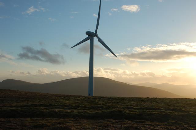 Photo could not load
NS6101 : Wind turbine On Windy Standard
Alex Scott
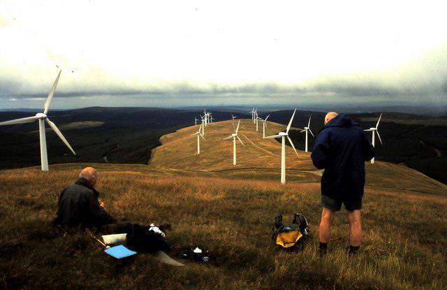 Photo could not load
NS6201 : Summit of Windy Standard
ronnie leask
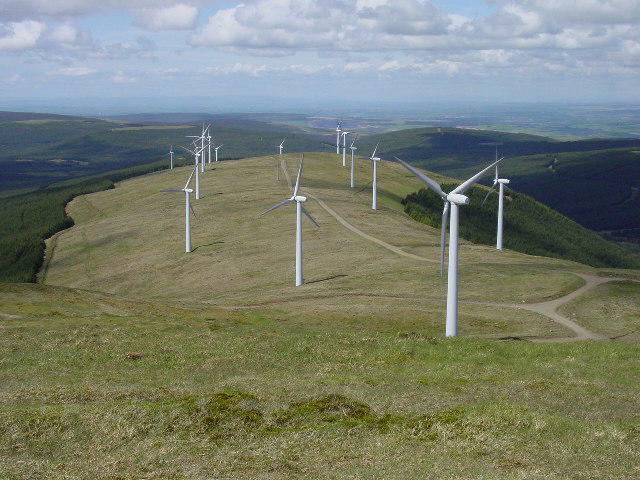 Photo could not load
NS6201 : Wind farm on Jedburgh Knees from Windy Standard
Colin Park
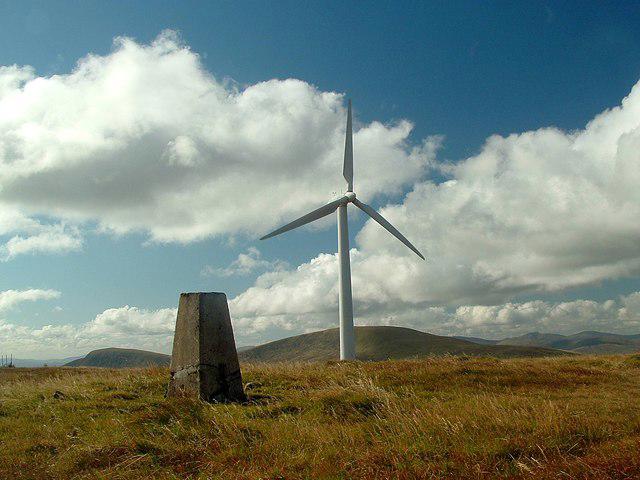 Photo could not load
NS6201 : Windy Standard trig point
Raibeart MacAoidh
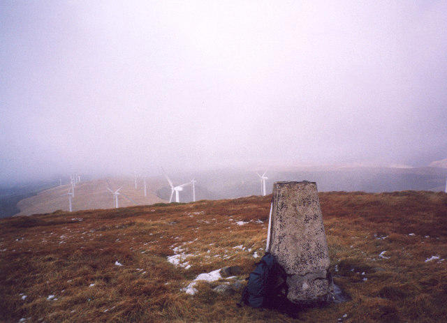 Photo could not load
NS6201 : The trig-point on Windy Standard
bill copland
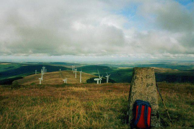 Photo could not load
NS6201 : Trig point on Windy Standard
John Ferguson
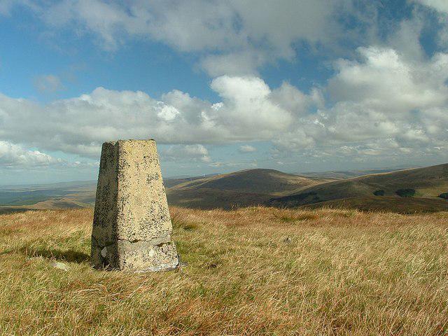 Photo could not load
NS6201 : Windy Standard (trig point)
Raibeart MacAoidh
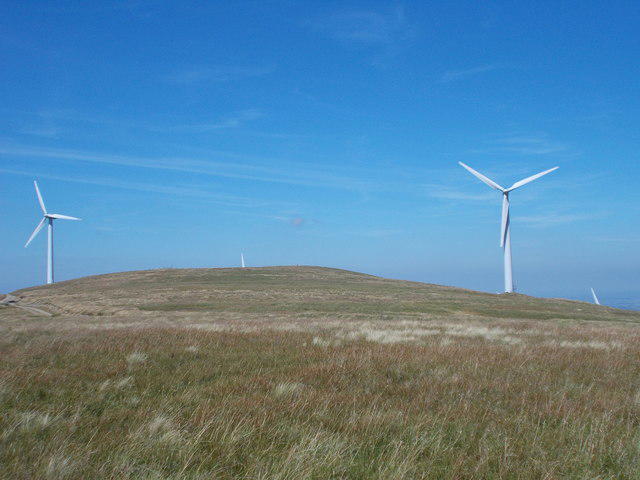 Photo could not load
NS6201 : Approaching Windy Standard
Iain Russell
Hill facts and local notes
Classifications
Elevation
698m
2,290 ft
Prominence
212m
Coordinates
55.2880, -4.1744
NS620014
OS Map
77
Explorer: 328S
At the Summit
At the summit, you'll find a classic trig point surrounded by a modest cairn, perfect for a quick photo op to prove to your friends that you actually made it!
Terrain & Geology
The mountain is primarily composed of Old Red Sandstone, featuring a rocky outcrop at the summit that offers a splendid 360-degree view of the surrounding landscape.
Views & Scenery
On a clear day, you can see the rolling hills of the Southern Uplands and even glimpse the Lake District to the south.
History & Heritage
Name Origin
Windy Standard's name reflects the often blustery conditions atop the mountain, and 'Standard' refers to a historic measurement point.
Historical Significance
The hill has been a popular walking destination for local communities and offers insight into the historical landscape of the Southern Uplands.
Getting There & Facilities
Check current local access restrictions, parking rules and transport timetables before travelling. These notes do not confirm public access to the summit.
Parking
Parking is available at the layby along the A702, approximately 2 km south of the start point.
Public Transport
Regular bus services run between nearby towns and the A702, though check the timetables beforehand.
Nearby Facilities
The nearest facilities are in Biggar, which has cafes, shops, and toilets.
Safety Information
Known Hazards
- Muddy paths after rain, sudden weather changes should be expected, especially at higher altitudes.
General Safety Tips
- Check weather conditions before setting out
- Carry appropriate clothing and equipment
- Let someone know your planned route
- Take a map, compass, and GPS device
- Carry emergency supplies: food, water, first aid kit, torch
Hills
Some common questions about the hills answered
Are there group walks up Windy Standard?
Many walkers use Walkmates to join or organise walks with others. You can check for group walks around Windy Standard through the maps
Are there other walkers around Windy Standard?
Activity varies by location and time, but Walkmates lets you see whether others have shared walks or shown interest in this area. Find other people through the walking friends search walking friends for Windy Standard search or of course create your own walk for Windy Standard
Can I organise a walk to Windy Standard?
Yes. If there aren’t any walks listed already, you can create a walk and make it available for others to join.
If you're signed up to Walkmates, you can create a walk to Windy Standard.
How do I find a walk up this hill?
There are often multiple ways to walk this hill, depending on experience and route preference. Walkmates helps you explore walks and routes that others have shared.
Can I suggest a new route up Windy Standard?
Yes. You can suggest or create routes to share with others. Walkmates focuses on the social side of walking, so routes are used to help people organise walks and explore areas together, rather than as detailed navigation tools or route libraries.
Other uses really appreciate knowledgeable walkers sharing their routes. Share your favourite route to Windy Standard here
The is an error or something incorrect about this hill. How do I let you know?
We always strive to keep the information on Walkmates as accurate as possible. If you find an error, please let us know through the contact form and we'll aim to correct it as quickly as possible
Community Discussion
Comments
Location
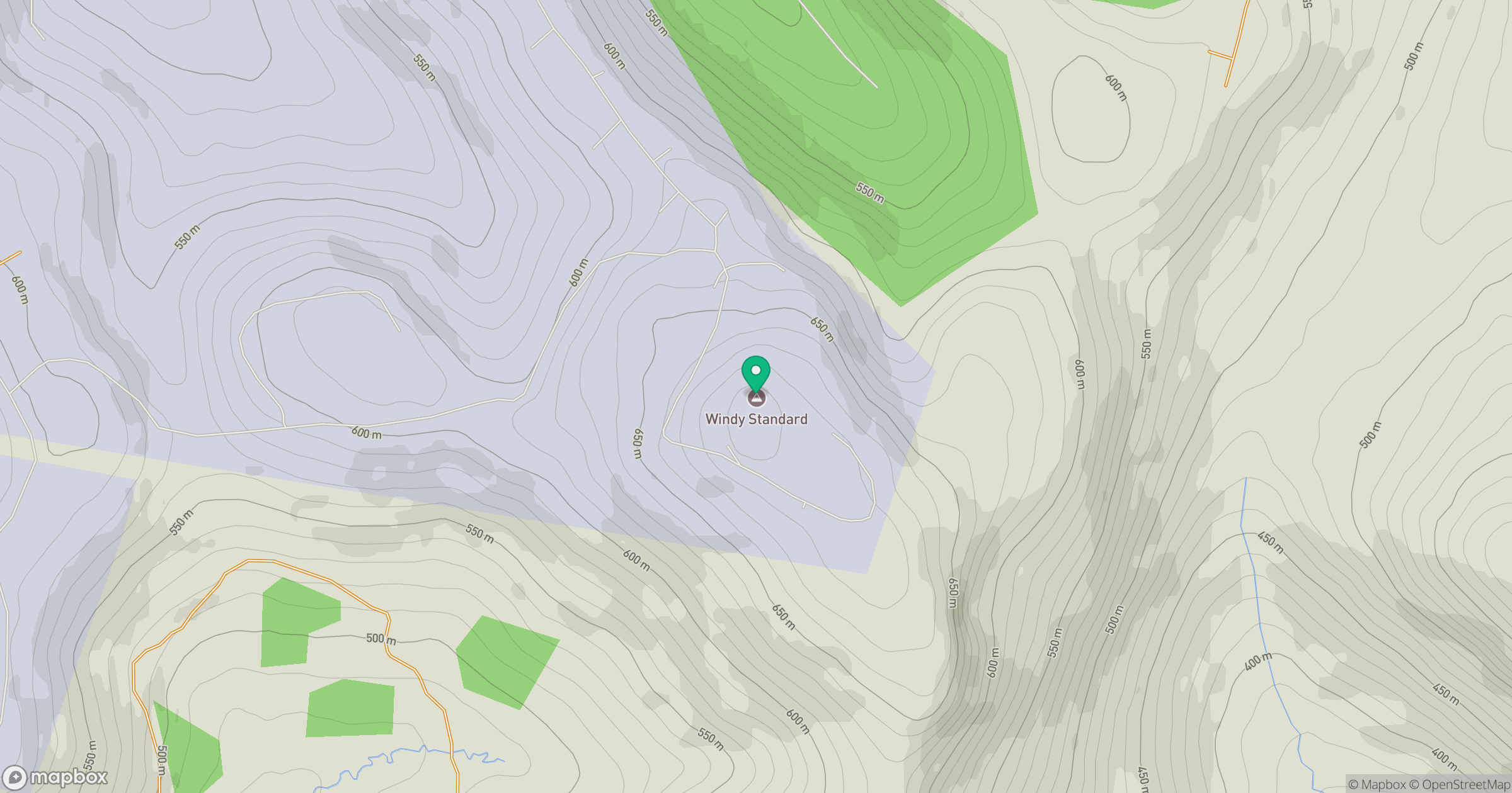
Grid reference: NS620014
View on OpenStreetMapOpens a map in a new tab, centred on the hill.
Hills within 30 km
Straight-line distance, not a walking route or confirmation of access.
Cairnsmore of Carsphairn
797m
Merrick
843m
Blacklorg Hill
681m
Blackcraig Hill
701m
Dundeugh Hill
271m
No comments yet. Be the first.