

Cnoc Lochy
Good walks are even better shared.
Overview
Exploring Cnoc Lochy
Overview
Cnoc Lochy, standing proudly at 323 meters, is a delightful Marilyn in the heart of the Scottish Highlands. A perfect spot for both seasoned hikers and those just keen to soak in some remarkable views without tackling a Munro.
Geology
As you ascend, take time to glance around—it’s hard to miss the vivid reddish hues of the Old Red Sandstone that dominate the landscape. Geologically, it’s a good place to truly appreciate the forces of nature that have shaped this stunning terrain over millions of years. Just don’t be distracted by the pretty rocks when you’re trying to navigate the paths!
Routes
The route from Fort Augustus is fairly easy to follow. Starting with a stroll through lush forests, it soon elevates into more rugged terrain. Recommended for those who fancy a mix of scenery, both tranquil and rugged, without losing the plot completely.
Terrain and Hazards
Expect rocky outcrops along with stretches of grassy slopes, and beware of the boggy bits! These areas can be quite tricky, so mind your step—you don’t want to be the one who came back with muddy socks!
Views
The summit offers some truly stunning vistas. On a clear day, you can gaze down the length of Loch Ness, which undoubtedly stirs up visions of the iconic Nessie. The seasonal changes paint different pictures here; catch autumn, and the landscape practically comes alive with warm colours.
Access and Facilities
Getting to Cnoc Lochy is straightforward, making it accessible yet unspoilt. Fort Augustus is your launching pad, boasting ample facilities, including those vital loos and caffeine fixes for post-hike stories.
History
The etymology of Cnoc Lochy has its roots steeped in the local culture, with whispers of clans that once roamed these hills. A trek here isn’t just a climb; it’s a brush with the rich tapestry of Highland history and folklore.
Final Thoughts
Whether you’re chasing views or just seeking solace in nature, Cnoc Lochy won’t disappoint. So lace up those hiking boots and get ready to explore this gem of the Highlands!
Explore routes near Cnoc Lochy
Public walks starting within 80 km of this hill. Nearby does not mean a route reaches the summit; check its map and access before setting out.
Aberlour to Carron Bridge: Speyside Way riverside return
View route
Craigellachie to Aberlour: Speyside Railway Path Return
View route
Rothiemurchus: Beaver Trail and Lochan Mor
View route
Aviemore: Loch an Eilein and the Croft Track from Rothiemurchus
View route
Route planning notes
These notes describe possible approaches, not verified navigable routes or permission to cross land. Check current paths, local access rules and conditions before setting out.
From Fort Augustus
A scenic route starting from Fort Augustus, weaving through a beautiful forested area before ascending the rocky paths to the summit.
Make a day of it, together
Find someone to share the walk with, or organise a day out along a route you like.
Photo Gallery
View all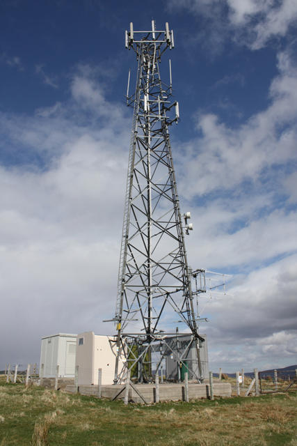 Photo could not load
NJ1620 : Communications mast on Cnoc Lochy
Dorothy Carse
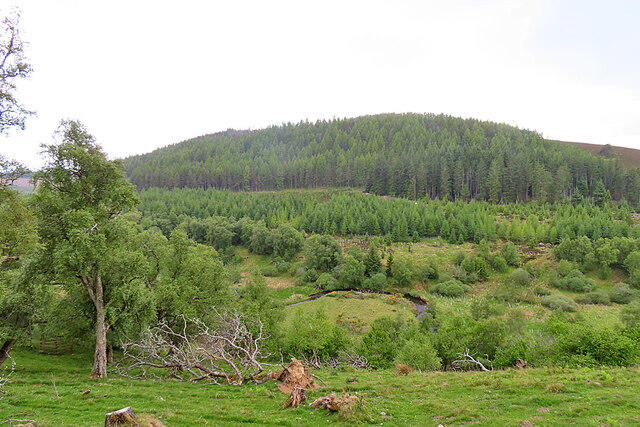 Photo could not load
NJ1621 : Cnoc Lochy
Anne Burgess
Hill facts and local notes
Classifications
Elevation
466m
1,530 ft
Prominence
145m
Coordinates
57.2720, -3.3889
NJ163210
OS Map
36
Explorer: OL58N OL61S 404N 419S
At the Summit
The summit features a modest cairn that proudly bears witness to the many hikers who have stood atop its height, taking in the surrounding beauty like a goldfish in a bowl.
Terrain & Geology
Cnoc Lochy is primarily composed of Old Red Sandstone, which is known for its characteristic red hue and sedimentary features that tell tales of ancient rivers and deserts. Keep your eyes peeled for interesting rock formations!
Views & Scenery
Breathtaking views of Loch Ness to the south and the far-reaching valleys of the Highlands. On a clear day, you might even spot the distant peaks of the Monadhliath mountains.
History & Heritage
Name Origin
The name 'Cnoc Lochy' translates to 'Hill of Lochy', highlighting its proximity to the River Lochy.
Historical Significance
This area is steeped in Highland culture, with historical connections to clans and ancient battles that echo through the valleys.
Getting There & Facilities
Check current local access restrictions, parking rules and transport timetables before travelling. These notes do not confirm public access to the summit.
Parking
There is a small car park near Fort Augustus, which serves as a convenient starting point. It’s best to arrive early, especially during peak tourist seasons.
Public Transport
Regular bus services operate from Inverness to Fort Augustus, with the nearest train station located in Fort William.
Nearby Facilities
Fort Augustus has several cafés, restaurants, and public toilets, ensuring that you can refuel after your hike.
Safety Information
Known Hazards
- Treacherous boggy areas may cause unexpected footwear challenges. Additionally, be aware of sudden weather changes, as the Highlands are notorious for keeping hikers guessing.
General Safety Tips
- Check weather conditions before setting out
- Carry appropriate clothing and equipment
- Let someone know your planned route
- Take a map, compass, and GPS device
- Carry emergency supplies: food, water, first aid kit, torch
Hills
Some common questions about the hills answered
Are there group walks up Cnoc Lochy?
Many walkers use Walkmates to join or organise walks with others. You can check for group walks around Cnoc Lochy through the maps
Are there other walkers around Cnoc Lochy?
Activity varies by location and time, but Walkmates lets you see whether others have shared walks or shown interest in this area. Find other people through the walking friends search walking friends for Cnoc Lochy search or of course create your own walk for Cnoc Lochy
Can I organise a walk to Cnoc Lochy?
Yes. If there aren’t any walks listed already, you can create a walk and make it available for others to join.
If you're signed up to Walkmates, you can create a walk to Cnoc Lochy.
How do I find a walk up this hill?
There are often multiple ways to walk this hill, depending on experience and route preference. Walkmates helps you explore walks and routes that others have shared.
Can I suggest a new route up Cnoc Lochy?
Yes. You can suggest or create routes to share with others. Walkmates focuses on the social side of walking, so routes are used to help people organise walks and explore areas together, rather than as detailed navigation tools or route libraries.
Other uses really appreciate knowledgeable walkers sharing their routes. Share your favourite route to Cnoc Lochy here
The is an error or something incorrect about this hill. How do I let you know?
We always strive to keep the information on Walkmates as accurate as possible. If you find an error, please let us know through the contact form and we'll aim to correct it as quickly as possible
Community Discussion
Comments
Location
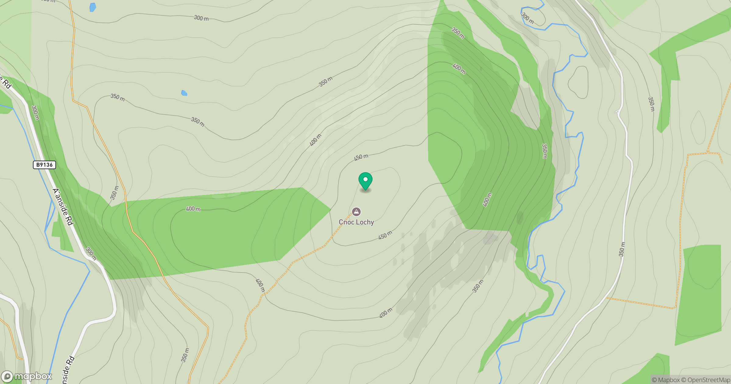
Grid reference: NJ163210
View on OpenStreetMapOpens a map in a new tab, centred on the hill.
Hills within 30 km
Straight-line distance, not a walking route or confirmation of access.
Ben Avon - Leabaidh an Daimh Bhuidhe
1,172m
Bynack More
1,090m
Beinn Mheadhoin
1,183m
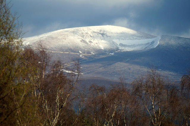
Cairn Gorm
1,245m
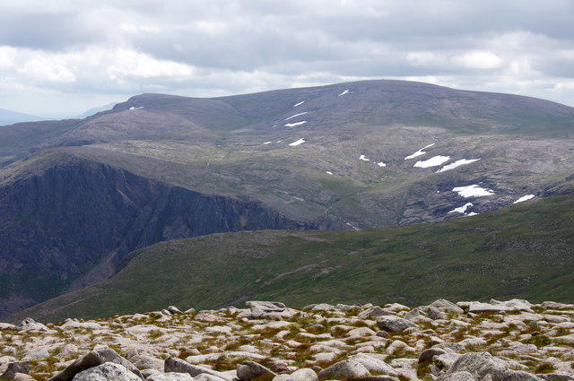
Ben Macdui [Beinn Macduibh]
1,309m
No comments yet. Be the first.