

Carn Gafallt
Good walks are even better shared.
SN9464 : Carn Gafallt Summit
Peter Standing Photo source
Explore routes near Carn Gafallt
Walks starting near this hill. Open a route to check its map, distance and full itinerary.
Elan Valley: Reservoir Trail to Pen y Garreg Dam
View route
Dolaucothi Estate: Cothi Valley and Red Waymarked Circuit
View route
Brecon Basin to Brynich Aqueduct: Canal Towpath Walk
View route
Usk Reservoir: Glasfynydd Forest and Dam Circuit
View route
Route planning notes
These notes describe possible approaches. Check a route's map and access information when planning your walk.
Carn Gafallt Circular
A well-defined circular route starting from the nearby road and ascending through heather-covered slopes with stunning views of the countryside.
Make a day of it, together
Find someone to share the walk with, or organise a day out along a route you like.
Photo Gallery
View all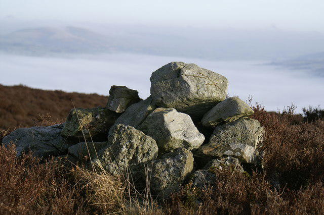 Photo could not load
SN9464 : Carn Gafallt Summit
Peter Standing
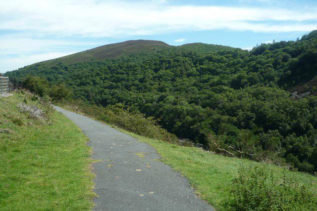 Photo could not load
SN9464 : Carn Gafallt (Viewed from Elan Valley)
Fabian Musto
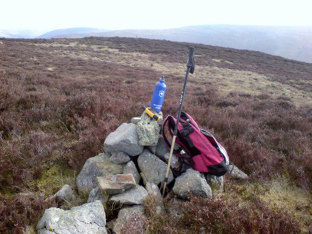 Photo could not load
SN9464 : Carn Gafallt
Rude Health
Hill facts and local notes
Classifications
Elevation
466m
1,529 ft
Prominence
157m
Coordinates
52.2697, -3.5548
SN940646
OS Map
147
Explorer: 200W
At the Summit
At the summit, you'll find a prominent cairn that stands as a beacon for weary trekkers, alongside a wooden post marking the summit height—perfect for that cheeky summit selfie.
Terrain & Geology
The mountain is primarily composed of Old Red Sandstone, creating a rugged yet picturesque landscape, interspersed with some areas of limestone deposits that contribute to the diverse ecology found here.
Views & Scenery
From the summit, gaze upon the stunning panoramas of the Brecon Beacons, including Pen y Fan and Corn Du, as well as the sprawling landscapes of the valleys below.
History & Heritage
Name Origin
The name 'Carn Gafallt' translates roughly to 'Hill of the Tumble,' which is thought to reference the rugged character of the landscape and its steep slopes.
Historical Significance
This area has significance in Welsh folklore, and the landscape has been shaped by past human activity, from ancient stone circles to sheep farming.
Getting There & Facilities
Parking
The nearest parking area is at the end of the Cwm Gafallt road, where small laybys provide space for a few vehicles. Be careful not to block any access roads!
Public Transport
Public transport options are limited, but the nearest bus service can drop you off in the village of Libanus, from which it's a few miles walk to the trailhead.
Nearby Facilities
While there are no facilities on the mountain itself, Brecon has plenty of cafes, restaurants, and toilets. Consider grabbing a slice of cake post-hike as a reward!
Safety Information
Known Hazards
- Be cautious of sudden changes in weather, which can bring fog and rain. The boggy areas can be treacherous, especially after rainfall.
General Safety Tips
- Check weather conditions before setting out
- Carry appropriate clothing and equipment
- Let someone know your planned route
- Take a map, compass, and GPS device
- Carry emergency supplies: food, water, first aid kit, torch
Hills
Some common questions about the hills answered
Are there group walks up Carn Gafallt?
Many walkers use Walkmates to join or organise walks with others. You can check for group walks around Carn Gafallt through the maps
Are there other walkers around Carn Gafallt?
Activity varies by location and time, but Walkmates lets you see whether others have shared walks or shown interest in this area. Find other people through the walking friends search walking friends for Carn Gafallt search or of course create your own walk for Carn Gafallt
Can I organise a walk to Carn Gafallt?
Yes. If there aren’t any walks listed already, you can create a walk and make it available for others to join.
If you're signed up to Walkmates, you can create a walk to Carn Gafallt.
How do I find a walk up this hill?
There are often multiple ways to walk this hill, depending on experience and route preference. Walkmates helps you explore walks and routes that others have shared.
Can I suggest a new route up Carn Gafallt?
Yes. You can suggest or create routes to share with others. Walkmates focuses on the social side of walking, so routes are used to help people organise walks and explore areas together, rather than as detailed navigation tools or route libraries.
Other uses really appreciate knowledgeable walkers sharing their routes. Share your favourite route to Carn Gafallt here
The is an error or something incorrect about this hill. How do I let you know?
We always strive to keep the information on Walkmates as accurate as possible. If you find an error, please let us know through the contact form and we'll aim to correct it as quickly as possible
Community Discussion
Comments
Location
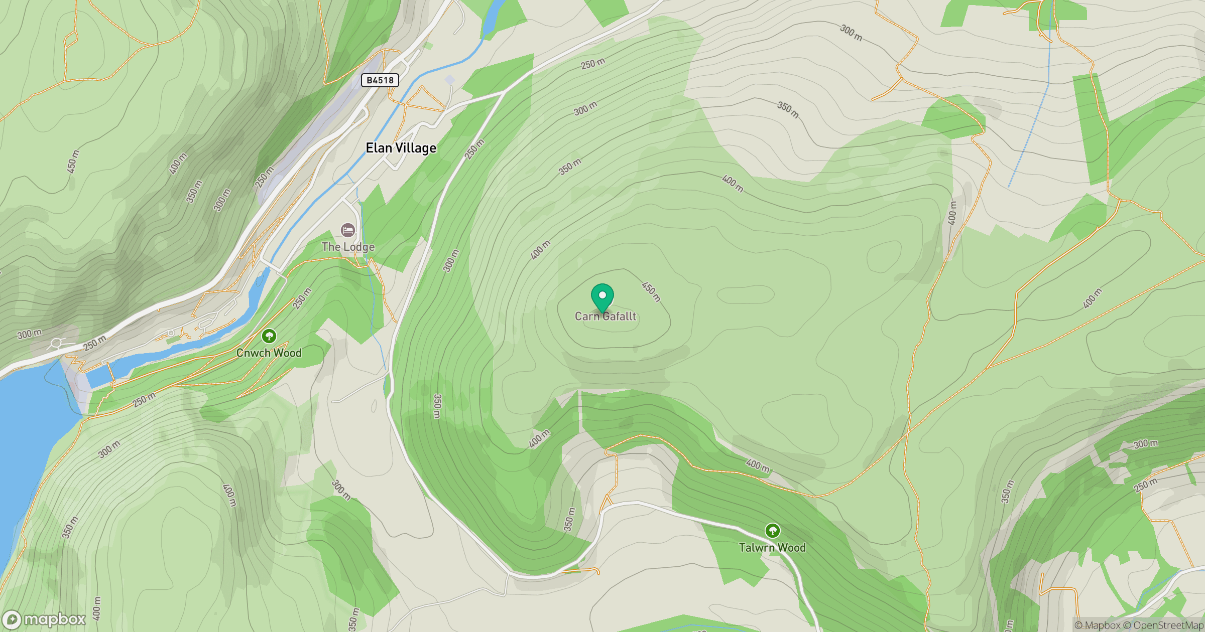
Grid reference: SN940646
View on OpenStreetMapOpens a map in a new tab, centred on the hill.
Nearby Hills
Carneddau
445m
Pumlumon Fawr [Plynlimon]
752m
Pen y Fan
886m

Cribyn
795m

Fan Brycheiniog - Twr y Fan Foel
802m
No comments yet. Be the first.