

Cam Spout Crag
Good walks are even better shared.
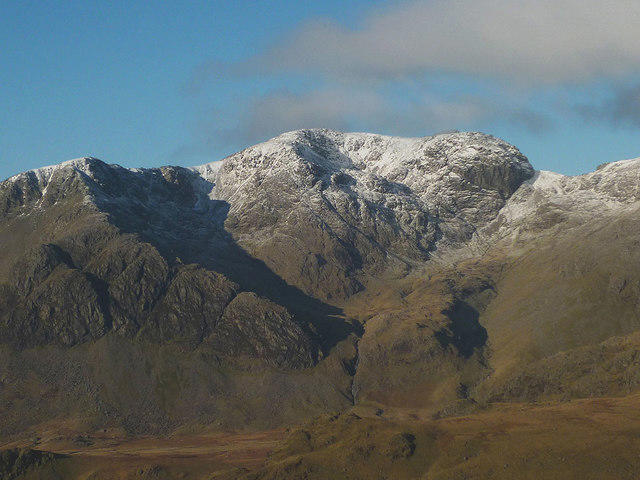
NY2105 : Cam Spout Crag
David Brown Photo source
Overview
Cam Spout Crag
Nestled in the heart of the Lake District, Cam Spout Crag is a hidden gem that attracts outdoor enthusiasts and curious wanderers alike. Rising to an elevation of 481 meters, this crag might not be the highest in the region, but what it lacks in stature, it makes up for in charm and stunning views.
Geology
The rocky outcrops of Cam Spout Crag are primarily made of volcanic rock known as andesite, giving the area a rugged allure. Surrounding the crag are intriguing glacial features that tell the tales of a time when massive glaciers shaped the landscape we enjoy today. Consider yourself walking on ancient ground—just don’t forget your sturdy boots!
Routes
From Little Langdale
This route is the most popular way to tackle Cam Spout Crag. Starting at Little Langdale, you’ll meander through lush green valleys and alongside serene brooks, eventually leading you to a steep but manageable ascent. At roughly 7.5 km, it typically takes about 3 hours to complete the hike, making it a moderate challenge for most.
Summit Features
Upon reaching the summit, hikers are greeted by a sturdy stone cairn, a testament to many a trekker's desire to leave a mark in the wild. The summit is perfect for a little rest and some enviable photos to dazzle your friends—just try to ignore the envious looks when they see your panoramic shots.
Terrain
Expect a mix of rocky paths, grassy patches, and boggy bits, especially after a good rain. As they say, ‘there’s no bad weather, only inappropriate clothing’—so bring those waterproofs!
Views
The views from Cam Spout Crag are nothing short of breathtaking. Look out over Windermere's shimmering surface and the towering peaks of the Coniston Range. The best time to savour these sights? Late spring to early autumn, particularly at dawn, when the first rays of light paint the landscape in soft golds and pinks.
Hazards
While the ascent is manageable, caution is advisable. Loose rocks and steep drops can present challenges, especially near the summit. As with all adventures in the mountains, stay aware of the weather; slippery conditions can turn a charming hike into a slip-'n-slide extravangaza.
Access
Parking
The nearest parking can be found in Little Langdale, where there are a few spots available for visitors. Just be sure to arrive early on weekends to secure a place.
Public Transport
For those not keen on driving, regular buses run from Ambleside to Little Langdale, making it fairly easy to access this hiking haven.
Nearby Town
The closest town is Coniston, brimming with cafes and pubs, perfect for rewarding yourself with a hearty meal after your efforts on the crag.
Facilities
While Cam Spout Crag itself is a nature reserve, nearby Coniston offers all the amenities for a day well spent outdoors. So, grab that post-hike pint and recall your mighty conquest over the crag!
History
The name 'Cam Spout' is believed to be derived from Celtic and Old English roots, with 'Cam' referring to the crag's distinctive shape and 'Spout' nodding to the nearby streams. Over the years, this crag has captured the hearts of many, solidifying its status as a must-visit in the beautiful Lake District.
Whether you're a seasoned hiker or just looking for a delightful day out in nature, Cam Spout Crag offers a slice of adventure and breathtaking views. Just remember to pack that camera—you won't want to forget this one!
Explore routes near Cam Spout Crag
Walks starting near this hill. Open a route to check its map, distance and full itinerary.
Scafell Pike via Brown Tongue and Hollow Stones
View route
Great Carrs Halifax Wreckage from Wrynose Pass
View route
Scafell Pike from Seathwaite via the Corridor Route
View route
Bow Fell from Langdale
View route
Route planning notes
These notes describe possible approaches. Check a route's map and access information when planning your walk.
From Little Langdale
A scenic route starting from Little Langdale that takes you through lush green valleys and alongside babbling brooks before ascending to the crag.
Make a day of it, together
Find someone to share the walk with, or organise a day out along a route you like.
Photo Gallery
View all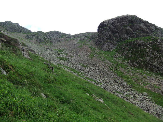 Photo could not load
NY2105 : Cam Spout Crag
David Brown
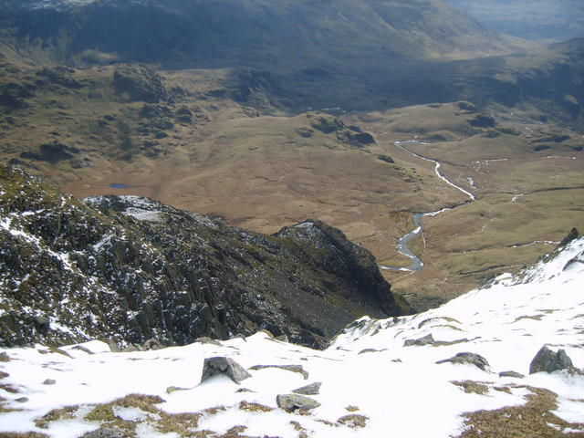 Photo could not load
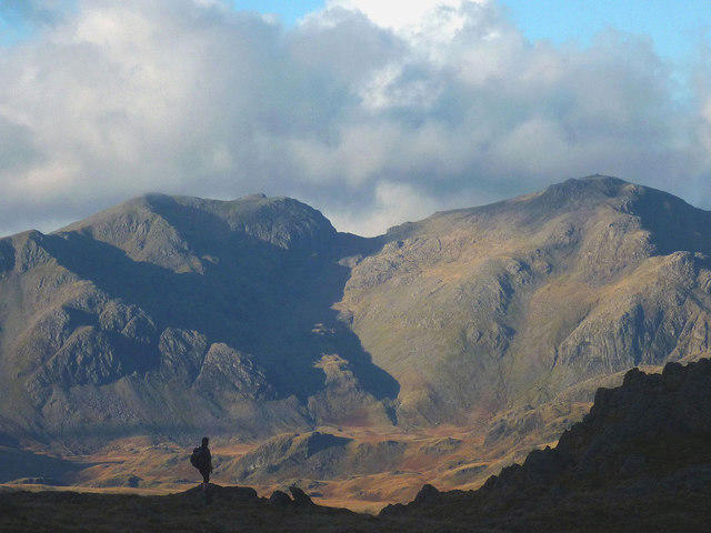
NY2105 : On Long Green
Michael Graham
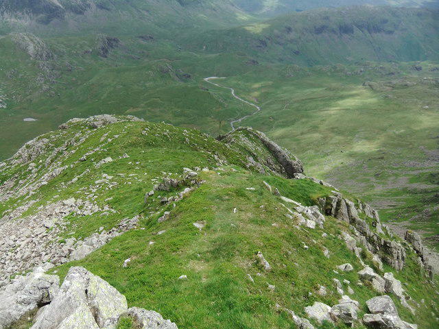 Photo could not load
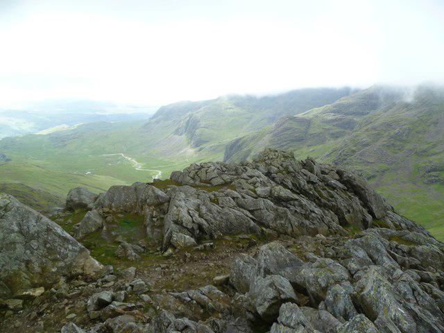
NY2105 : Above Cam Spout Crag
David Brown
Hill facts and local notes
Classifications
Elevation
676m
2,218 ft
Prominence
4m
Coordinates
54.4385, -3.2137
NY213054
OS Map
89 90
Explorer: OL6N
At the Summit
The summit is marked by a well-constructed stone cairn, with a stunning panoramic view that can make even the most stoic among us smile.
Terrain & Geology
Primarily composed of volcanic rock, mainly andesite, which gives the crag its jagged appearance. The surrounding area features beautiful glacial features, testament to a time long past when glaciers carved this landscape.
Views & Scenery
On a clear day, you can see the shimmering waters of Windermere, alongside the mighty peaks of the Coniston Range.
History & Heritage
Name Origin
The name 'Cam Spout' suggests a mix of Celtic and Old English origins, potentially referring to the crag's unique spouting shape and its scenic waterways.
Historical Significance
The mountain is part of the historic landscape of Cumbria, offering insight into the region's volcanic past and serving as a beloved hiking destination.
Getting There & Facilities
Parking
There is parking available at the village of Little Langdale, which serves as a convenient starting point for the hike.
Public Transport
Buses run from Ambleside to Little Langdale, providing access for those relying on public transport.
Nearby Facilities
Limited facilities nearby, but Coniston offers several cafes and pubs for a well-deserved pint and snacks after your adventure.
Safety Information
Known Hazards
- Be cautious of loose rock and steep drops, particularly near the summit. The terrain can be slippery in wet conditions.
General Safety Tips
- Check weather conditions before setting out
- Carry appropriate clothing and equipment
- Let someone know your planned route
- Take a map, compass, and GPS device
- Carry emergency supplies: food, water, first aid kit, torch
Hills
Some common questions about the hills answered
Are there group walks up Cam Spout Crag?
Many walkers use Walkmates to join or organise walks with others. You can check for group walks around Cam Spout Crag through the maps
Are there other walkers around Cam Spout Crag?
Activity varies by location and time, but Walkmates lets you see whether others have shared walks or shown interest in this area. Find other people through the walking friends search walking friends for Cam Spout Crag search or of course create your own walk for Cam Spout Crag
Can I organise a walk to Cam Spout Crag?
Yes. If there aren’t any walks listed already, you can create a walk and make it available for others to join.
If you're signed up to Walkmates, you can create a walk to Cam Spout Crag.
How do I find a walk up this hill?
There are often multiple ways to walk this hill, depending on experience and route preference. Walkmates helps you explore walks and routes that others have shared.
Can I suggest a new route up Cam Spout Crag?
Yes. You can suggest or create routes to share with others. Walkmates focuses on the social side of walking, so routes are used to help people organise walks and explore areas together, rather than as detailed navigation tools or route libraries.
Other uses really appreciate knowledgeable walkers sharing their routes. Share your favourite route to Cam Spout Crag here
The is an error or something incorrect about this hill. How do I let you know?
We always strive to keep the information on Walkmates as accurate as possible. If you find an error, please let us know through the contact form and we'll aim to correct it as quickly as possible
Community Discussion
Comments
Location
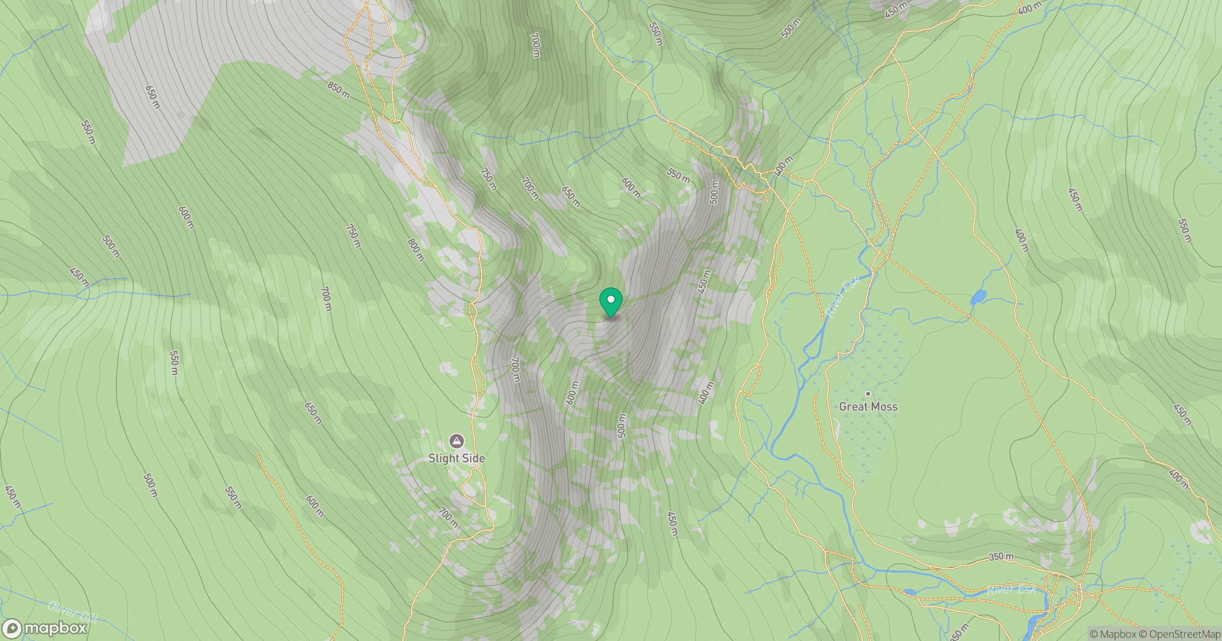
Grid reference: NY213054
View on OpenStreetMapOpens a map in a new tab, centred on the hill.

No comments yet. Be the first.