

Bwrdd Arthur
Good walks are even better shared.
Overview
Bwrdd Arthur
Bwrdd Arthur, or 'Arthur's Table', is a delightful Marilyn located in the scenic Snowdonia region of Wales. Rising to an elevation of 564 meters, it provides a rewarding experience for those willing to traverse its moderate trails.
Geology
This mountain proudly displays its geological credentials, primarily composed of ancient sedimentary rocks dating back to the Ordovician period. The landscape reflects a time when this area was submerged under a vast marine environment, with layers of mudstone and sandstone that create a varied terrain today. Keep an eye out for fossils embedded in the rocks as a reminder of this ancient past!
Routes
One popular route is the Bwrdd Arthur Circular starting from the picturesque village of Abersoch. This 6.5 km trek will take roughly 2.5 hours and is classified as moderate. As you hike, enjoy the shifting scenery, from lush greenery to rocky outcrops, with plenty of opportunities for rest and relaxation.
Summit Features
At the summit, you’ll find a small cairn and a prominent rocky outcrop – perfect for catching your breath and enjoying the mesmerizing views of the surrounding landscape. Make sure to snap a selfie here to prove you made it!
Terrain
Expect a mix of grassy slopes and rocky sections, but don’t worry, even the occasional boggy patch can be avoided with a bit of careful footwork. Wear sturdy hiking boots as you navigate the varied terrain.
Views
The vista from the top is nothing short of spectacular! On a clear day, you can see the rugged peaks of Snowdon in the distance, the beautiful Llŷn Peninsula stretching out below, and the sparkling Irish Sea. Early risers or those who enjoy sunsets will be treated to an enchanting display of colours.
Hazards
As with any hill walking, be prepared for changing weather conditions, particularly in the autumn when clouds can roll in faster than you can say 'Bwrdd Arthur'. Keep an eye on your footing in slippery areas, especially after rain.
Nearby Summits
Just a stone's throw away, you can also visit Foel Fras (942 m) and Carnedd Llewelyn (1064 m), both rewarding additions to your hiking itinerary.
Access
Access is straightforward – park your car at the small car park near Abersoch (SH 320 290) and let the adventure begin! If you're relying on public transport, you can hop on a Stagecoach Bus from Pwllheli to Abersoch.
Facilities
In Abersoch, you’ll find a selection of cafes and shops to recharge after your hike. Public toilets are conveniently located near the parking area, a welcome sight after a long trek!
History
The mountain's name, 'Bwrdd Arthur', resonates with the legendary King Arthur, possibly suggesting that this tranquil peak was a gathering place for his knights. Its historical and cultural significance further enhances its appeal for those who tread its paths.
In conclusion, whether you’re a seasoned hiker or just looking for a pleasant day outdoors, Bwrdd Arthur offers an easy-going pathway to nature’s tranquillity. Get your hiking boots on and make your way to this lovely peak!
Happy hiking!
Explore routes near Bwrdd Arthur
Public walks starting within 80 km of this hill. Nearby does not mean a route reaches the summit; check its map and access before setting out.
Conwy Quay to Llanfairfechan: the upland coast-path alternative
View route
Llyn Crafnant: Lakeside Circuit from the NRW Car Park
View route
Snowdon Pyg Track returning by Miner's Track
View route
Beddgelert Forest: Derwen Circuit and Llyn Llywelyn
View route
Route planning notes
These notes describe possible approaches, not verified navigable routes or permission to cross land. Check current paths, local access rules and conditions before setting out.
Bwrdd Arthur Circular
A scenic circular route starting from the village of Abersoch, offering stunning views along the way.
Make a day of it, together
Find someone to share the walk with, or organise a day out along a route you like.
Photo Gallery
View all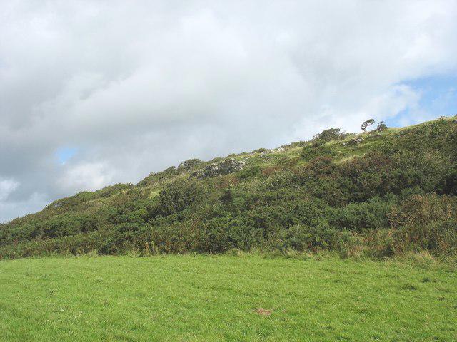 Photo could not load
SH5881 : Remains of the hill fort defensive wall on the upper western slope of Bwrdd Arthur
Eric Jones
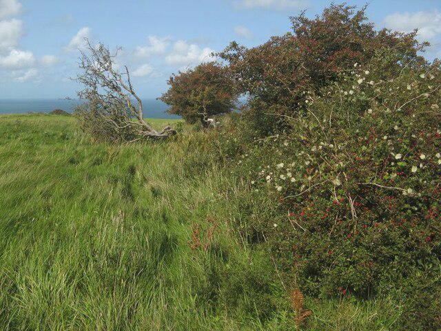 Photo could not load
SH5881 : Hawthorn hedge
Jonathan Wilkins
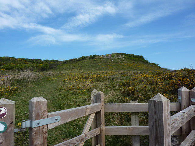 Photo could not load
SH5881 : Bwrdd Arthur
Peter Barr
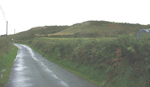 Photo could not load
SH5881 : The southern scarp of Bwrdd Arthur
Eric Jones
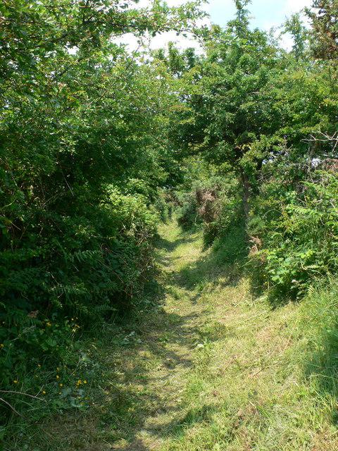 Photo could not load
SH5881 : Anglesey Coast Path
Eirian Evans
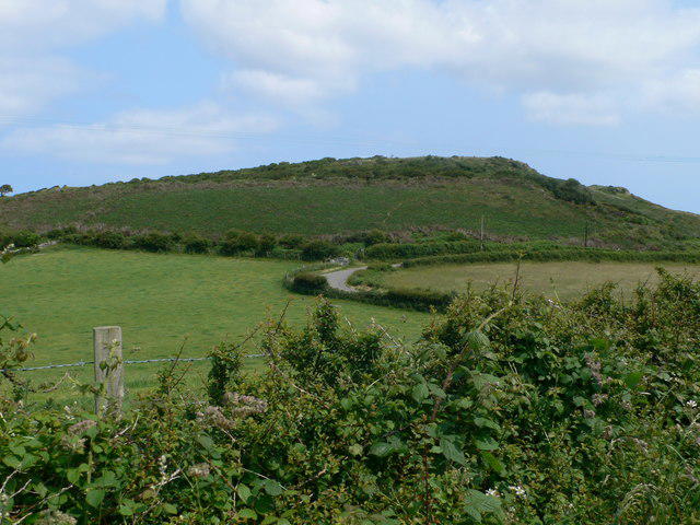 Photo could not load
SH5881 : Bwrdd Arthur
Eirian Evans
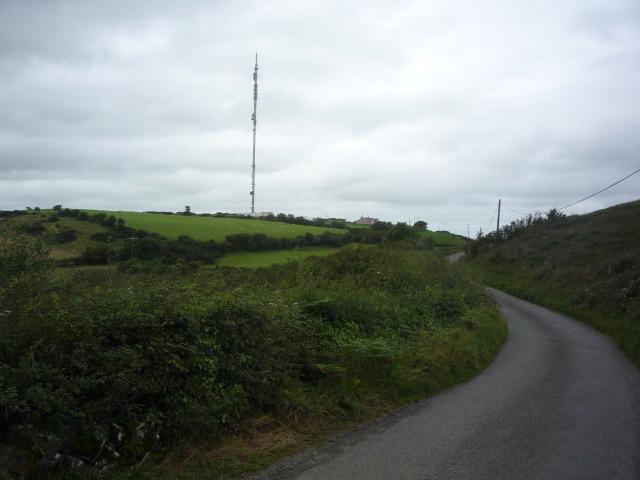 Photo could not load
SH5881 : Road to Mariandyrys
DS Pugh
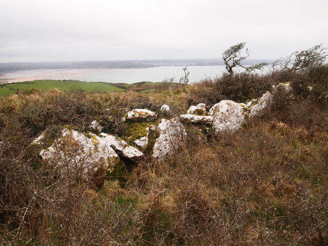 Photo could not load
SH5881 : Remains of Defensive Wall, Bwrdd Arthur
Chris Andrews
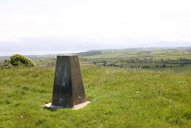 Photo could not load
SH5881 : Bwrdd Arthur trig
Iain Macaulay
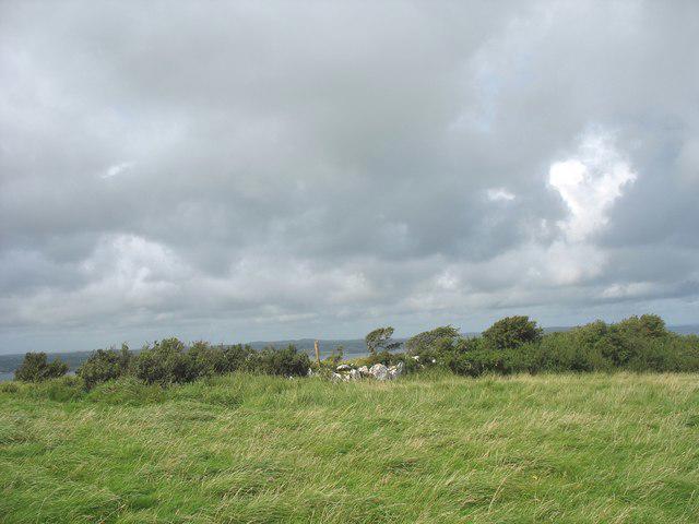
SH5881 : Part of the defence wall of Din Sylwy
Eric Jones
Hill facts and local notes
Classifications
Elevation
164m
538 ft
Prominence
137m
Coordinates
53.3096, -4.1241
SH585812
OS Map
114 115
Explorer: 263N
At the Summit
The summit features a prominent rocky outcrop along with a modest cairn, providing a perfect spot for a well-deserved break and some epic Instagram shots.
Terrain & Geology
Bwrdd Arthur is primarily composed of sedimentary rocks, mainly mudstone and sandstone, formed in the Ordovician period. Its fascinating geological history provides a glimpse into the ancient marine environments that once existed here.
Views & Scenery
From the summit, hikers can admire panoramic views of the Llŷn Peninsula, the rugged peaks of Snowdon in the distance, and on a clear day, the shimmering waters of the Irish Sea.
History & Heritage
Name Origin
The name 'Bwrdd Arthur' translates to 'Arthur's Table' in Welsh, referencing the legendary King Arthur, possibly as a nod to the summit's flatness resembling a table.
Historical Significance
This peak is steeped in folklore and history, often linked with the Arthurian legends, making it a place of cultural significance as well as a natural wonder.
Getting There & Facilities
Check current local access restrictions, parking rules and transport timetables before travelling. These notes do not confirm public access to the summit.
Parking
There is a small car park near Abersoch (SH 320 290), where hikers can safely leave their vehicles.
Public Transport
Stagecoach buses operate from Pwllheli to Abersoch regularly, though it's advisable to check the schedule beforehand.
Nearby Facilities
Abersoch offers several cafes, pubs, and shops, making it a great place to refuel both before and after your hike. Public toilets are available near the car park.
Safety Information
Known Hazards
- Beware of sudden weather changes, especially in autumn. Pathways can be slippery when wet, and some areas may have poor visibility.
General Safety Tips
- Check weather conditions before setting out
- Carry appropriate clothing and equipment
- Let someone know your planned route
- Take a map, compass, and GPS device
- Carry emergency supplies: food, water, first aid kit, torch
Hills
Some common questions about the hills answered
Are there group walks up Bwrdd Arthur?
Many walkers use Walkmates to join or organise walks with others. You can check for group walks around Bwrdd Arthur through the maps
Are there other walkers around Bwrdd Arthur?
Activity varies by location and time, but Walkmates lets you see whether others have shared walks or shown interest in this area. Find other people through the walking friends search walking friends for Bwrdd Arthur search or of course create your own walk for Bwrdd Arthur
Can I organise a walk to Bwrdd Arthur?
Yes. If there aren’t any walks listed already, you can create a walk and make it available for others to join.
If you're signed up to Walkmates, you can create a walk to Bwrdd Arthur.
How do I find a walk up this hill?
There are often multiple ways to walk this hill, depending on experience and route preference. Walkmates helps you explore walks and routes that others have shared.
Can I suggest a new route up Bwrdd Arthur?
Yes. You can suggest or create routes to share with others. Walkmates focuses on the social side of walking, so routes are used to help people organise walks and explore areas together, rather than as detailed navigation tools or route libraries.
Other uses really appreciate knowledgeable walkers sharing their routes. Share your favourite route to Bwrdd Arthur here
The is an error or something incorrect about this hill. How do I let you know?
We always strive to keep the information on Walkmates as accurate as possible. If you find an error, please let us know through the contact form and we'll aim to correct it as quickly as possible
Community Discussion
Comments
Location
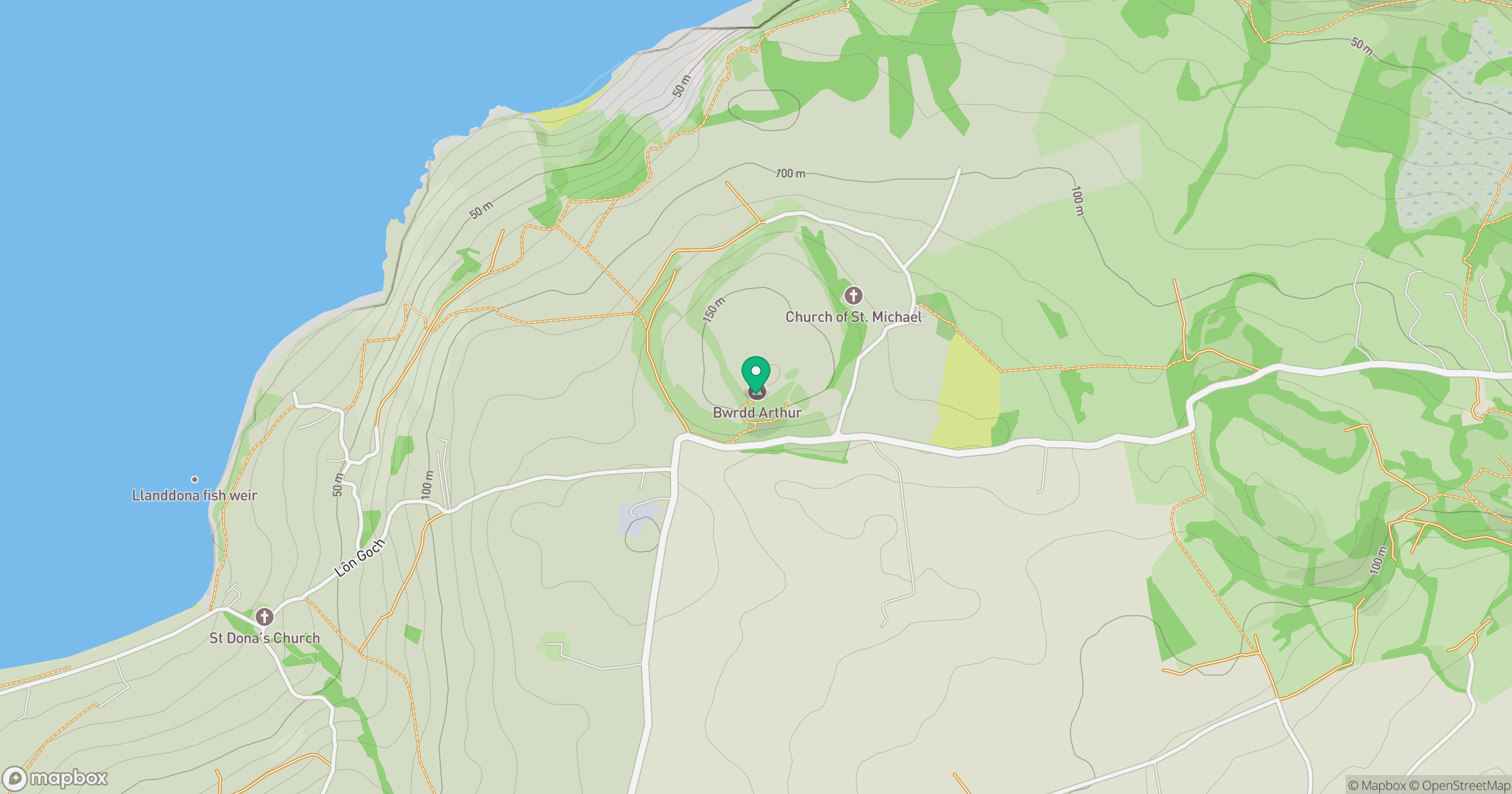
Grid reference: SH585812
View on OpenStreetMapOpens a map in a new tab, centred on the hill.
Hills within 30 km
Straight-line distance, not a walking route or confirmation of access.
No comments yet. Be the first.