

Benarty Hill
Good walks are even better shared.
NT1597 : Track and Wall
Colin Kinnear Photo source
Overview
Benarty Hill: A Hiker's Delight
Overview
Benarty Hill, rising to an elevation of 391 meters, is a prominent Marilyn in the charming Fife region of Scotland. With its rocky outcrops and grassy slopes, it presents a perfect playground for those eager to explore Scotland's natural landscapes.
Geology
Benarty's rocky composition primarily consists of ancient volcanic basalt. These geological features tell tales of the Earth’s fiery past, leaving curious minds eager to learn more about the processes that shaped this hill.
Routes
One of the most favoured routes is the Benarty Hill Loop from Ballingry. This moderate hike spans approximately 7.5 km and typically takes about 2.5 hours to complete. It’s a wonderful way to immerse yourself in nature while enjoying panoramic views. Take your time and relish every moment!
Summit Features
Upon reaching the summit, you'll be greeted by a wonderful vista and a humble trig point marking your achievement. It's the perfect spot for a group photo or to simply sit back and enjoy the view while grabbing a well-earned snack (we recommend a biscuit for energy!).
Terrain Type
The terrain is generally grassy, with the occasional rocky section that could catch you off guard. Perfect for a good pair of hiking boots!
Views
The views from the top are truly spectacular. On a clear day, soak in the breathtaking sights of Loch Leven and distant hills that extend into the horizon. For the best views, visit during spring or autumn when the landscapes are alive with colour. Don’t forget your camera—after all, memories are made of this!
Hazards
Be mindful of the weather conditions and take great care on the trail, especially after rain as it might become slippery. And those sneaky gorse bushes? They’re best admired from a distance, lest they get too friendly!
Access
Getting to Benarty Hill is convenient. The nearest parking can be found in Ballingry, where a modest car park awaits. If you prefer public transport, local buses run from Kirkcaldy to Ballingry. The nearest town, Lochgelly, provides additional amenities should you need them.
Facilities
Facilities are limited on the hill itself, so plan accordingly and consider hitting up a local cafe in Lochgelly after your hike to refuel.
History
The name Benarty has its roots in Gaelic, translating to 'hill of the freemen', a nod to its historical significance. This hill has long served as a natural landmark within the Fife landscape.
So strap on those boots and enjoy the beauty that Benarty Hill has to offer. Happy hiking!
Explore routes near Benarty Hill
Walks starting near this hill. Open a route to check its map, distance and full itinerary.
Loch Leven: Kinross Pier to RSPB Loch Leven Heritage Trail
View route
Devilla Forest: Bordie Loch, Moor Loch and Peppermill Dam Circuit
View route
Club outing: Crianlarich and West Highland Way (coach departure)
View route
Club outing: Glen Ogle and Killin (coach departure)
View route
Route planning notes
These notes describe possible approaches. Check a route's map and access information when planning your walk.
Benarty Hill Loop from Ballingry
A popular circular route starting from the village of Ballingry. The path winds through lush woodlands and offers views of Lochore Meadows.
Make a day of it, together
Find someone to share the walk with, or organise a day out along a route you like.
Photo Gallery
View all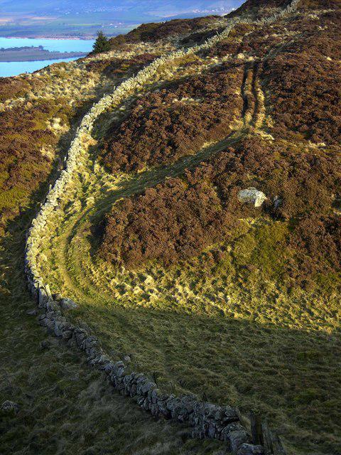 Photo could not load
NT1597 : Track and Wall
Colin Kinnear
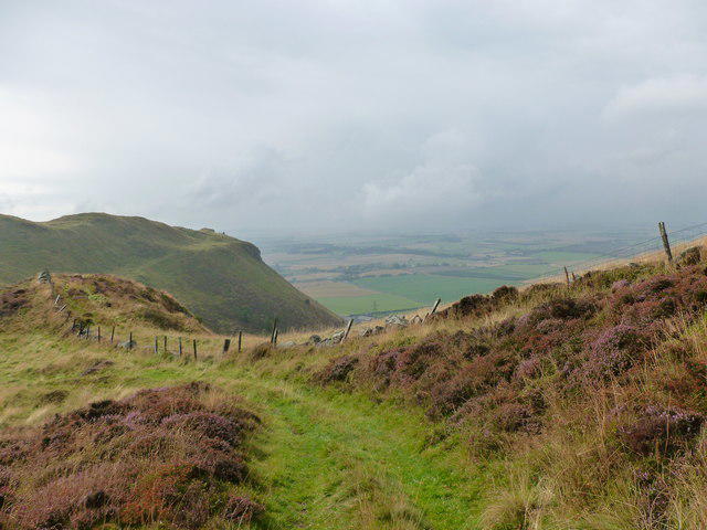 Photo could not load
NT1597 : County march, Benarty Hill
Alan O'Dowd
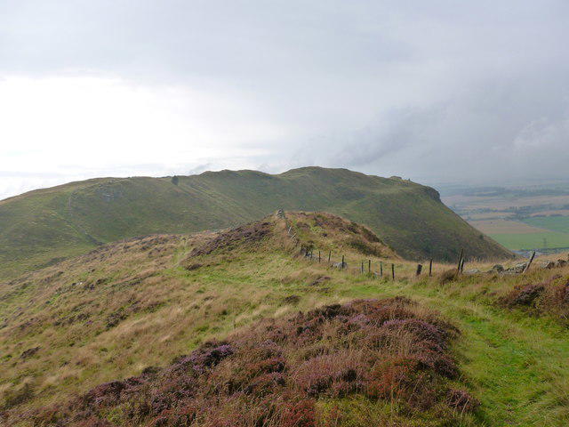 Photo could not load
NT1597 : View towards Castle Craig
Alan O'Dowd
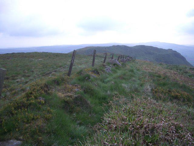 Photo could not load
NT1597 : Benarty Hill
Callum Black
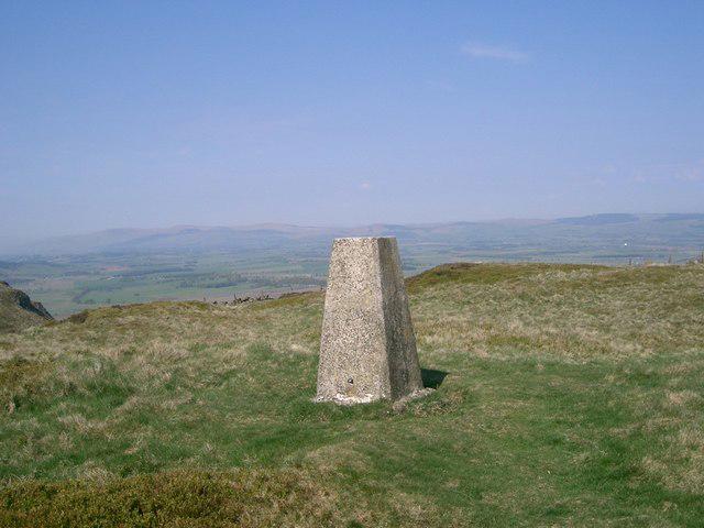 Photo could not load
NT1597 : Trig Point
Paul McIlroy
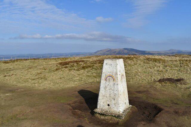 Photo could not load
NT1597 : Benarty Hill Trig Point
Robert Struthers
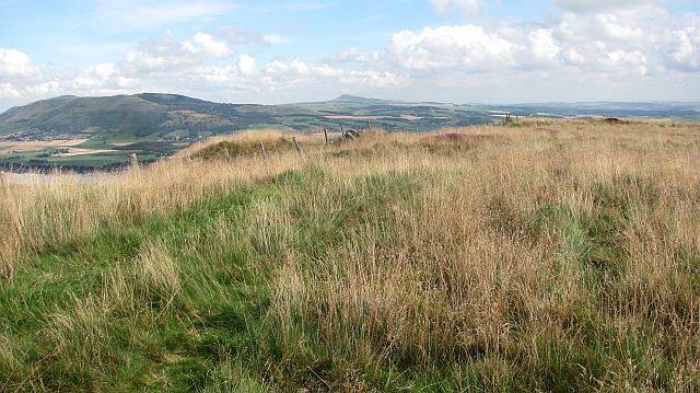 Photo could not load
NT1597 : The summit, Benarty Hill
Richard Webb
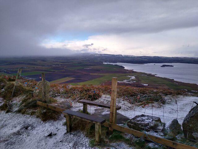 Photo could not load
NT1597 : Stile at Benarty Hill
Aleks Scholz
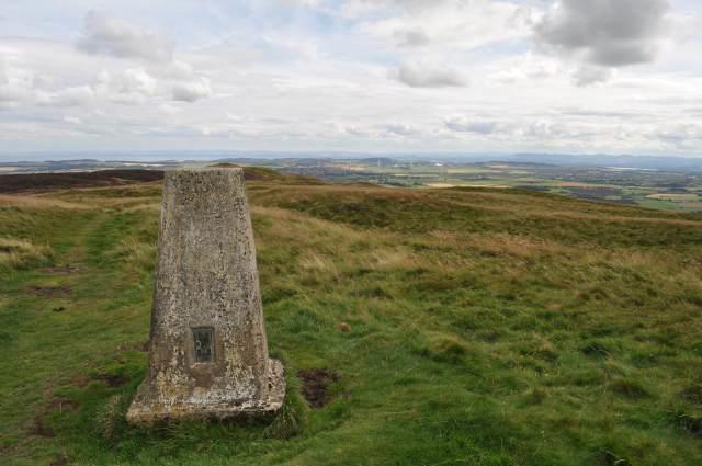 Photo could not load
NT1597 : Benarty Trig Point
Robert Struthers
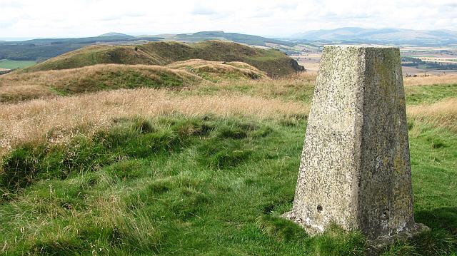
NT1597 : Triangulation pillar, Benarty Hill
Richard Webb
Hill facts and local notes
Classifications
Elevation
356m
1,168 ft
Prominence
228m
Coordinates
56.1661, -3.3642
NT153978
OS Map
58
Explorer: 367W
At the Summit
The summit is marked by a craggy outcrop and a modest cairn, offering a sense of accomplishment as you stand atop. There's also a trig point for those who enjoy ticking things off their list!
Terrain & Geology
Benarty Hill is composed mainly of volcanic rock, primarily basalt, which has weathered into delightful slopes for hikers. Its formation dates back to the Carboniferous period, making it a fascinating site for geology enthusiasts.
Views & Scenery
From the summit, you can catch sights of Loch Leven, the distant Ochil Hills, and on clear days, the Firth of Forth. It’s a panoramic feast for the eyes!
History & Heritage
Name Origin
The name 'Benarty' is thought to derive from Gaelic, meaning 'hill of the freemen'.
Historical Significance
Historically, this hill has been a landmark for locals in Fife, contributing to both the geographical identity and cultural folklore of the area.
Getting There & Facilities
Parking
There is a small car park at the base of the hill in Ballingry, with space for approximately 10 cars. Arrive early to secure a spot, especially during weekends.
Public Transport
You can take a bus to Ballingry from Kirkcaldy; check local schedules for the latest information.
Nearby Facilities
There are no public toilets on the hill itself, but you can find facilities in Lochgelly, including a few cafes to refuel after your adventure.
Safety Information
Known Hazards
- Watch out for slippery sections after rainfall, as well as prickly gorse bushes that might try to hug you in all the wrong ways.
General Safety Tips
- Check weather conditions before setting out
- Carry appropriate clothing and equipment
- Let someone know your planned route
- Take a map, compass, and GPS device
- Carry emergency supplies: food, water, first aid kit, torch
Hills
Some common questions about the hills answered
Are there group walks up Benarty Hill?
Many walkers use Walkmates to join or organise walks with others. You can check for group walks around Benarty Hill through the maps
Are there other walkers around Benarty Hill?
Activity varies by location and time, but Walkmates lets you see whether others have shared walks or shown interest in this area. Find other people through the walking friends search walking friends for Benarty Hill search or of course create your own walk for Benarty Hill
Can I organise a walk to Benarty Hill?
Yes. If there aren’t any walks listed already, you can create a walk and make it available for others to join.
If you're signed up to Walkmates, you can create a walk to Benarty Hill.
How do I find a walk up this hill?
There are often multiple ways to walk this hill, depending on experience and route preference. Walkmates helps you explore walks and routes that others have shared.
Can I suggest a new route up Benarty Hill?
Yes. You can suggest or create routes to share with others. Walkmates focuses on the social side of walking, so routes are used to help people organise walks and explore areas together, rather than as detailed navigation tools or route libraries.
Other uses really appreciate knowledgeable walkers sharing their routes. Share your favourite route to Benarty Hill here
The is an error or something incorrect about this hill. How do I let you know?
We always strive to keep the information on Walkmates as accurate as possible. If you find an error, please let us know through the contact form and we'll aim to correct it as quickly as possible
Community Discussion
Comments
Location
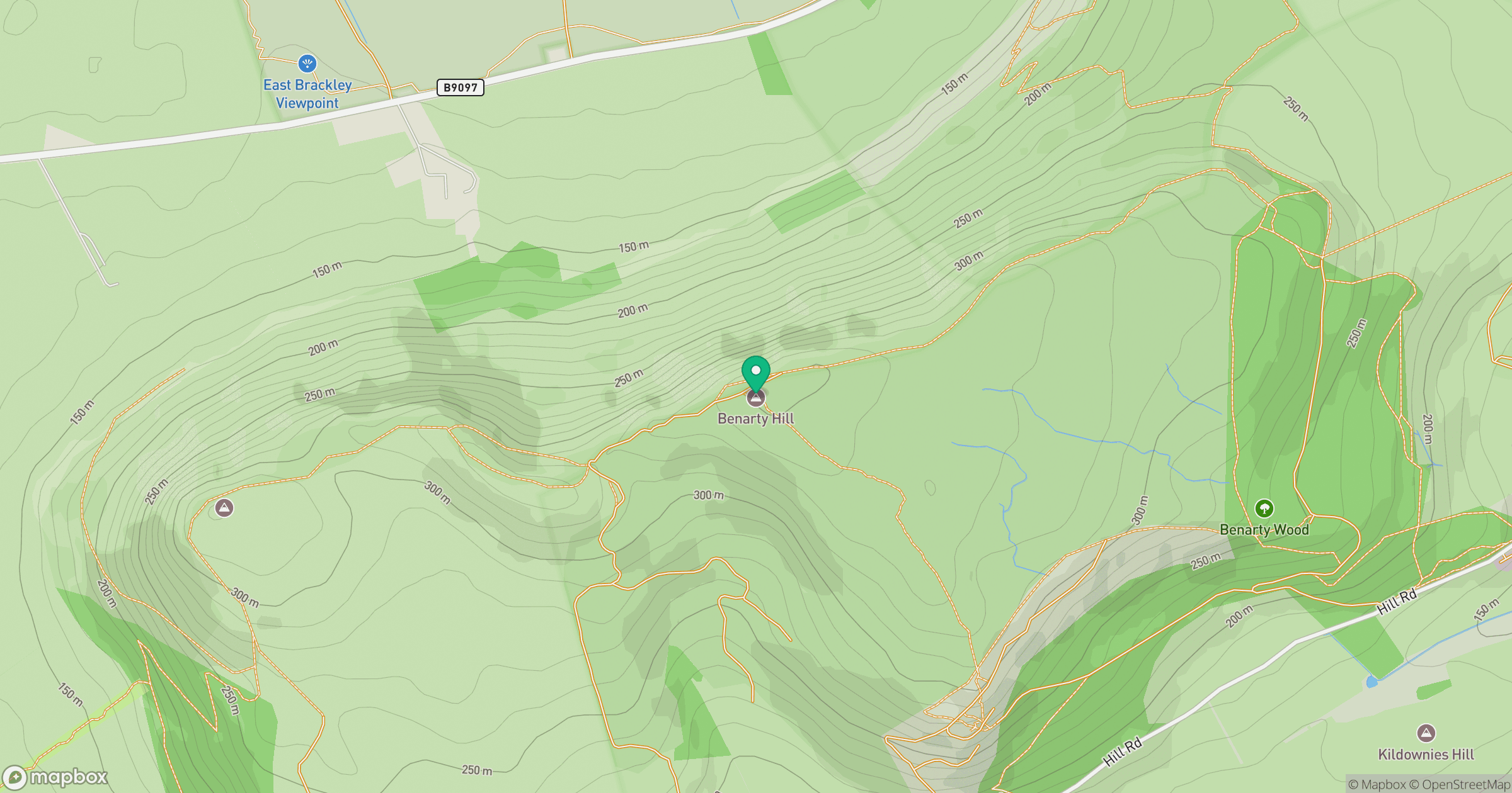
Grid reference: NT153978
View on OpenStreetMapOpens a map in a new tab, centred on the hill.


No comments yet. Be the first.