
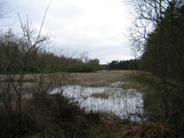
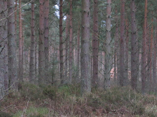
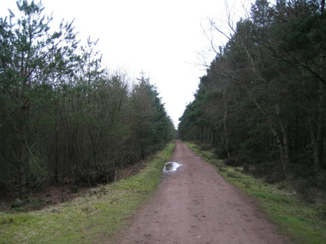
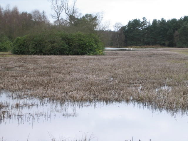
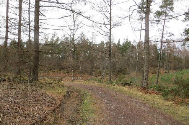
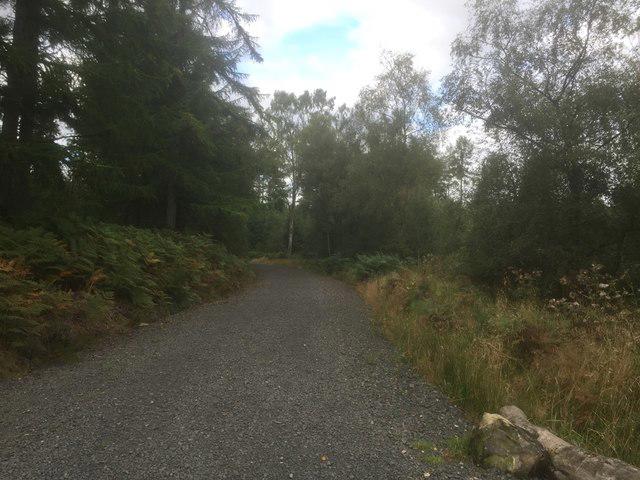
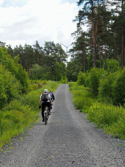
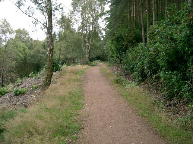
Image shared for Devilla Forest: Bordie Loch, Moor Loch and Peppermill Dam Circuit
Countryside Circular

Devilla Forest: Bordie Loch, Moor Loch and Peppermill Dam Circuit

Fife

Distance
5.7 mi
Est. time
3h
Difficulty
Medium
PaulWalkmates Route by PaulWalkmates

About this walk

Start at the public Devilla Forest car park on the north side of the A985, east of Kincardine. Take the Red Squirrel Trail into the pinewoods and follow the northern side of Bordie Loch. Leave the short waymarked loop for the woodland path west, then use the forest tracks towards Moor Loch. The route rounds the western and northern sides of the loch before climbing gently to the southern shore of Peppermill Dam.

Continue east along the forest road beside Peppermill Dam, then turn south through the inland track network and return to the car park on the eastern forest roads. This longer circuit uses three lochs and does not follow the rough Keir Dam outflow crossing. Only the first part is waymarked as the Red Squirrel Trail. Use the route map at the frequent track junctions.

Allow about three hours for roughly nine kilometres, including time beside the lochs. Much of the walk is on gravel forest roads, with narrower earth paths between Bordie Loch and Moor Loch that can be muddy or uneven. There are modest slopes rather than a hill ascent. Wear footwear with grip, keep clear of water edges and follow any forestry signs or temporary closures.

FLS lists free parking and picnic facilities here. There are no toilets at the start; the nearest public toilets are in Culross. Check Forestry and Land Scotland's Devilla local alerts before travelling, especially after strong winds. Route information: the current FLS Devilla forest map and visitor guidance, with the established three-loch approach described by Walkhighlands.

Walk details

County
Fife
Walk type
Circular
Category
Countryside
Distance
5.7 mi (9.2 km)
Est. time
3h
Explorer
Yes, off the beaten track

Route map

Use the route details to plan your walk

If the map image does not load, the route description and starting-point details are still on this page.

The interactive map will load when you reach this section.

Where to start

Directions to start

Walking on your own?

Start when you're ready and add the walk to your history. No group date needed.

This walk is waiting for a date

Not ready to pick a date? Follow it and you'll hear when somebody else does.

No commitment. You can follow it now and pick a date later.

Joining a walk

A few things to know before you make plans.

Can I join if no one else is going?

You can be the first to join a scheduled walk. A suggested date is an idea for a group walk; choose Set this date up to organise it. Check the participant list and meeting details before setting off.

What if there is no date yet?

Choose Put a date on this walk to organise a group walk. Not ready to choose a day? Follow the route for scheduling updates, or save it for later.

What does the organiser do?

The organiser sets the date and meeting details and helps the group get started. They are a fellow walker and may be new to the route too.

Each walker is responsible for their own safety and navigation. Check the route, weather, equipment and whether the walk suits your experience and fitness.

Can I walk this route on my own?

Yes. Choose Walk this route on your own to open the start screen, then start when you are ready. Finish the walk to add it to your walking history. You do not need a group date.

What happens after I join?

Use the walk page to check meeting details, updates and who is going. Check in from 24 hours before the start to let the group know you still plan to come.

How do I confirm plans with the group?

Check the participant list and check-ins, and message the organiser or other walkers to confirm where to meet and who is coming. This is especially useful when the group is small.
