A full day across inland Fife, linking Markinch with Ceres by village streets, working farmland, woodland and the Clatto Reservoir countryside. This 21.3 km linear Fife Pilgrim Way stage needs time, suitable footwear and attention to waymarkers: parts of the path across open land are less distinct. Allow about seven hours plus breaks. The route passes through Kennoway and Bonnybank before the longer climb and rural approach to Ceres. Arrange your return journey before starting; this is not a circuit or a short station-to-station stroll.
Start and finish
Start on Kirk Street in Markinch beside the church approach, 56.2056668,-3.1347320. Use the pavement beside the mapped street corridor. The walk does not start at Markinch railway station; reaching this point from the station is extra.
Finish on the path by the Fife Pilgrim Way information-board/public-car-park area at the south end of Ceres, 56.2914912,-2.9709742. The board is a few metres beside the plotted path.
Leaving Markinch
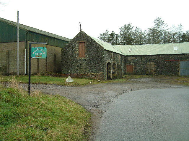
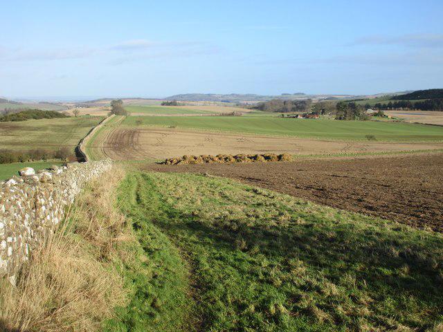
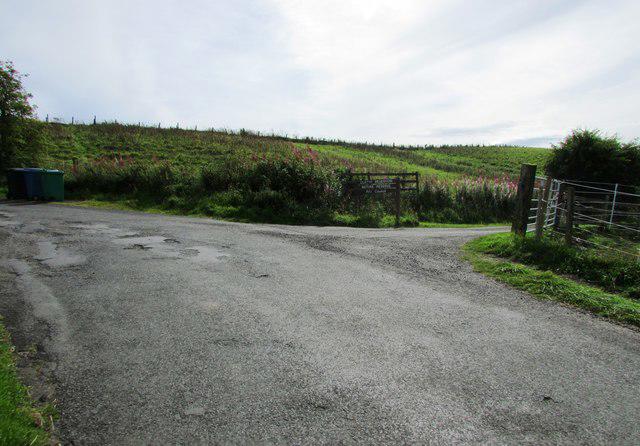
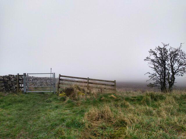
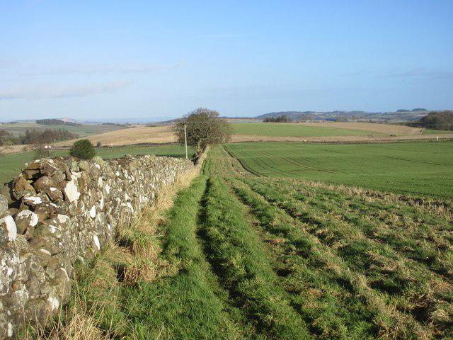
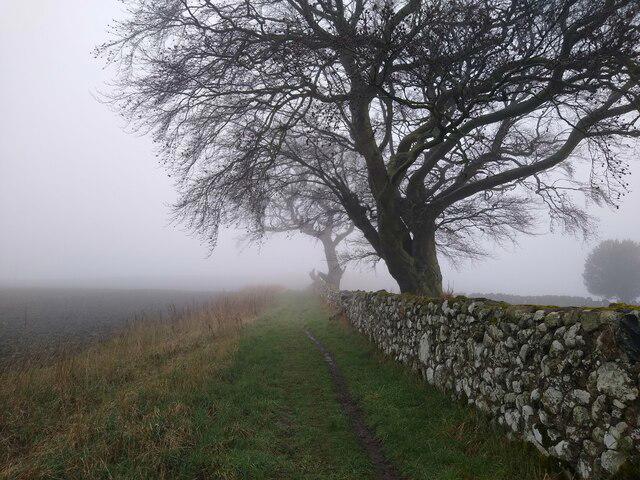
Begin on Kirk Street by the church approach, following the plotted streets out towards Dalginch. Keep an eye on the waymarkers as the route moves into open farmland. The trail can be less obvious between Dalginch and Balcurvie Muir, so this is not a place to assume that the most prominent vehicle track must be your route.
The line skirts Windygates and continues through Kennoway and Bonnybank. Road-centreline plotting represents the walking corridor: use pavements wherever they are provided and take care at crossings. Do not follow a saved line into traffic. Local streets and junctions break up the country sections, and concentration matters here as much as on a muddy field path.
The longer country section
Beyond Bonnybank, the route climbs towards Devon Wood and Clatto Hill before passing the eastern end of Clatto Reservoir. Stick to the mapped trail rather than making a shoreline circuit or wandering onto angling access. Reservoir views do not imply permission to swim, boat or fish.
From the reservoir area, continue towards Ceres along the established trail. Keep time and daylight in hand: reaching an attractive stopping place does not mean the day is almost over. Finish at the information-board area by the village’s southern car park, not at a railway station or a guaranteed onward bus connection.
Plan for distance and conditions
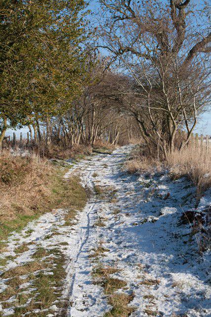
Carry food, drinking water, waterproofs and an offline map. Shoes or boots with grip are useful on rough ground, wet grass and mud. Rough paths, slopes and road sections mean the whole route should not be assumed suitable for wheelchairs or pushchairs.
Arrange a date-specific bus, taxi or lift plan before leaving. A rail arrival at Markinch still requires a separate approach to the mapped start. Check parking restrictions, transport times and facility opening hours for your travel date. Shops and cafes may be useful when open, but take enough supplies to avoid depending on them.
Keep dogs under close control, leave farm access clear and follow local signs around livestock and working land. Respect temporary closures and turn back if flooding, fallen trees or another obstruction makes the way unsafe. Check the trail manager’s current information before travelling.
Route information: https://fifecoastandcountrysidetrust.co.uk/walks/fife-pilgrim-way/markinch-to-ceres/
Map data: © OpenStreetMap contributors, licensed under the Open Database Licence (ODbL). https://www.openstreetmap.org/copyright