
Beinn Mheadhonach
Good walks are even better shared.
Overview
Beinn Mheadhonach: The Middle Mountain
Overview
Nestled in the Scottish Highlands, Beinn Mheadhonach rises to an impressive 1029 meters, making it a celebrated Munro among hikers looking for both challenge and spectacular scenery.
Geology
This mountain is primarily composed of granitic rocks, characteristic of the region’s glacial history. Evidence of ancient glacial activity is evident in the rugged cliffs and valleys carved by the ice. The dramatic landscape can be enjoyed along the route, rewarding climbers with a close-up view of the Highland's geological charm.
Route Information
The most popular route for ascending Beinn Mheadhonach begins at the car park near Loch Awe. Known as the Inveruglas Route, it is approximately 14.5 km in total and usually takes around 5 hours to complete. The path is well-marked and provides a moderate challenge, perfect for intermediate hikers. Along the way, keep an eye out for the wildlife that calls this rugged landscape home!
Summit Features
Upon reaching the summit, you’ll be greeted by a substantial cairn that stands as a testament to many adventurers who have trod this path. The views are nothing short of breathtaking.
Terrain
Expect a mix of rocky and grassy terrain with occasional boggy patches, particularly in the wetter months. A sturdy pair of boots and gaiters are recommended—your feet will thank you later!
Views
From the summit, the panorama is at its finest. You can catch sight of Loch Awe glittering below you, as well as the imposing peaks of the Southern Highlands in the distance. If you happen to be there at dawn, the rising sun casts a magical glow over the landscape, offering the kind of views that are worth a thousand words—though the experienced hiker knows some views are best taken in silence.
Hazards
Be aware that the weather can turn quicker than a Scottish summer's day; bring appropriate clothing and be prepared for a range of conditions. The rocky terrain can become slippery, especially on descent, so take care as you negotiate the slopes.
Access and Facilities
Starting your journey from Inveruglas, you can easily find parking at a designated area near the A82 road. Inveraray is the nearest town, offering amenities such as cafés and public toilets. It is advisable to refuel after your adventure and perhaps enjoy a slice of homemade cake—after all, you’ve earned it!
History
Beinn Mheadhonach translates to 'the middle mountain' in Gaelic, aptly reflecting its position within the highland range. Historically, it's woven into the fabric of Clan Campbell's territory, embodying rich stories and local lore.
In conclusion, whether you’re a seasoned Munro-bagger or just looking for a good excuse to stretch your legs, Beinn Mheadhonach has something special to offer. Make sure to pack out more than you pack in—this stunning area deserves a hearty respect, and a clean, green space is a happy space!
Explore routes near Beinn Mheadhonach
Walks starting near this hill. Open a route to check its map, distance and full itinerary.
Ben Nevis via Mountain Path
View route
Banavie to Glen Loy Aqueduct: Neptune’s Staircase Canal Towpath
View route
Beinn Ime from Succoth
View route
The Cobbler from Succoth Carpark
View route
Route planning notes
These notes describe possible approaches. Check a route's map and access information when planning your walk.
Inveruglas Route
Beginning from the car park at the head of Loch Lomond, this route follows well-defined paths with gentle gradients, allowing for a pleasant ascent.
Make a day of it, together
Find someone to share the walk with, or organise a day out along a route you like.
Hill facts and local notes
Classifications
Elevation
589m
1,932 ft
Prominence
193m
Coordinates
56.5434, -5.1504
NN064434
OS Map
50
Explorer: 377W
At the Summit
The summit features a prominent cairn, which is a fine monument to the efforts of previous walkers who have undertaken this adventure.
Terrain & Geology
Composed primarily of granitic rocks, Beinn Mheadhonach exhibits typical features of Highland geology, including glacially carved valleys and rugged terrain, perfect for those who relish rocky landscapes and panoramic views.
Views & Scenery
The views from the summit encompass the stunning expanse of Loch Awe and the distant peaks of the Southern Highlands, as well as glimpses of Ben Nevis to the north.
History & Heritage
Name Origin
The name Beinn Mheadhonach translates to 'the middle mountain' in Gaelic, perhaps reflecting its central location among the surrounding landscapes.
Historical Significance
The mountain is part of the traditional territory of Clan Campbell and is steeped in local folklore and history.
Getting There & Facilities
Parking
There is a designated car park at the start of the Inveruglas route, near the A82 road, which can accommodate several vehicles, though it can fill up quickly on sunny weekends.
Public Transport
Buses operate from various cities to Inveraray, with services running several times a day; check local timetables for current routes.
Nearby Facilities
Inveraray boasts several cafes and shops, as well as public toilets, ideal for a bit of refuelling before the adventure.
Safety Information
Known Hazards
- Variable weather conditions can lead to sudden changes; be prepared for rain at any time. The terrain can be slippery, especially on descent.
General Safety Tips
- Check weather conditions before setting out
- Carry appropriate clothing and equipment
- Let someone know your planned route
- Take a map, compass, and GPS device
- Carry emergency supplies: food, water, first aid kit, torch
Hills
Some common questions about the hills answered
Are there group walks up Beinn Mheadhonach?
Many walkers use Walkmates to join or organise walks with others. You can check for group walks around Beinn Mheadhonach through the maps
Are there other walkers around Beinn Mheadhonach?
Activity varies by location and time, but Walkmates lets you see whether others have shared walks or shown interest in this area. Find other people through the walking friends search walking friends for Beinn Mheadhonach search or of course create your own walk for Beinn Mheadhonach
Can I organise a walk to Beinn Mheadhonach?
Yes. If there aren’t any walks listed already, you can create a walk and make it available for others to join.
If you're signed up to Walkmates, you can create a walk to Beinn Mheadhonach.
How do I find a walk up this hill?
There are often multiple ways to walk this hill, depending on experience and route preference. Walkmates helps you explore walks and routes that others have shared.
Can I suggest a new route up Beinn Mheadhonach?
Yes. You can suggest or create routes to share with others. Walkmates focuses on the social side of walking, so routes are used to help people organise walks and explore areas together, rather than as detailed navigation tools or route libraries.
Other uses really appreciate knowledgeable walkers sharing their routes. Share your favourite route to Beinn Mheadhonach here
The is an error or something incorrect about this hill. How do I let you know?
We always strive to keep the information on Walkmates as accurate as possible. If you find an error, please let us know through the contact form and we'll aim to correct it as quickly as possible
Community Discussion
Comments
Location
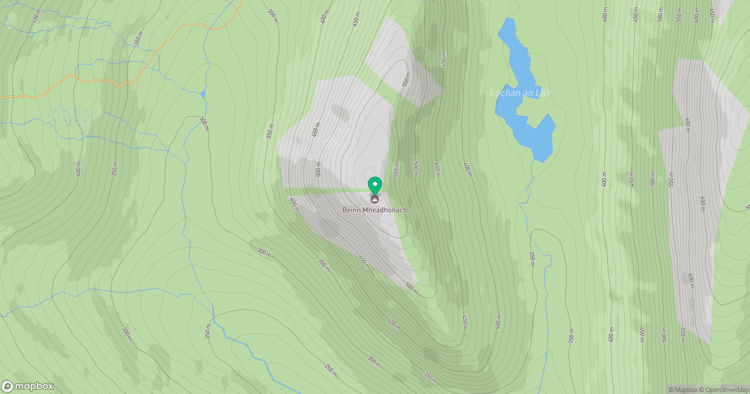
Grid reference: NN064434
View on OpenStreetMapOpens a map in a new tab, centred on the hill.
Nearby Hills
Ben Starav
1,080m
Sgurr na h-Ulaidh [Sgor na h-Ulaidh]
994m
Beinn a' Bheithir - Sgorr Dhearg
1,024m
Beinn a' Bheithir - Sgorr Dhonuill
1,002m
Ben Cruachan
1,127m
No comments yet. Be the first.