

Beinn Fhada
Good walks are even better shared.
NM5334 : Beinn Fhada
Richard Webb Photo source
Overview
Beinn Fhada: A Munro Worth Scaling!
Overview
Beinn Fhada, standing tall at 887 meters, is a classic Munro located in the scenic Scottish Highlands. With its stunning vistas and relatively moderate routes, it attracts walkers of various skill levels eager to conquer this magnificent peak.
Geology
This geological marvel primarily consists of ancient gneiss and schist, a testament to the intense pressures and tectonic activity of the region. Encased by glacial carvings, the summit emerges with steep cliffs, revealing layers of geological history that tell a story of the Earth’s evolution.
Routes
Most walkers will start their journey from the little village of Inverinate. This route takes you through tranquil woodlands and then gradually ups the ante as the terrain gets steeper. You’ll find that this gradual ascent allows you to appreciate nature's beauty while warming up those legs!
Summit Features
Upon reaching the summit, you’ll be greeted by a grand cairn, perfect for resting and reflecting on your achievement while enjoying the expansive views. It's a great spot for getting your hiking buddies to take that all-important group photo - just make sure someone is holding the sandwiches!
Terrain
Expect a mix of rocky trails and grassy patches. Don't be surprised if you find a few boggy spots that could make you question your footwear choices - quite the adventure!
Views
The summit offers panoramic views of Loch Duich and the majestic Five Sisters of Kintail. Keep your camera ready to capture the sweeping landscapes that seem almost too beautiful to be real. The best views are typically enjoyed during late spring to early autumn, though there’s beauty in each season.
Hazards
While Beinn Fhada is accessible for most hikers, be sure to check the weather prior to your ascent. Conditions can change rapidly, and high winds or rain could pose challenges. Be cautious, and never underestimate the unpredictable nature of the Highlands.
Nearby Summits
Beinn Fhada is pleasantly surrounded by other summits to explore. Nearby, you’ll find Beinn Sgritheall, a higher peak, and the impressive Sgurr na Ciche, providing more options for adventurous hikers!
Access
Accessing Beinn Fhada can be done from Inverinate, where parking facilities can be found. For those keen on public transport, bus routes to Kyle of Lochalsh make it feasible to reach the trailhead.
Conclusion
As you can see, Beinn Fhada is not just another hill; it’s a gateway to incredible experiences amidst Scotland’s rugged wilderness. Whether you’re a seasoned climber or a weekend explorer, Beinn Fhada promises a fulfilling adventure.
Get your boots on, pack your waterproofs, and hit the trail!
Explore routes near Beinn Fhada
Walks starting near this hill. Open a route to check its map, distance and full itinerary.
Crinan Canal: Bellanoch and Dunardry towpath return
View route
Ben Nevis via Mountain Path
View route
Banavie to Glen Loy Aqueduct: Neptune’s Staircase Canal Towpath
View route
Route planning notes
These notes describe possible approaches. Check a route's map and access information when planning your walk.
Start from Inverinate
A popular route starting from the village of Inverinate, gradually ascending through pleasant woodland before tackling the steeper sections leading to the summit.
Make a day of it, together
Find someone to share the walk with, or organise a day out along a route you like.
Photo Gallery
View all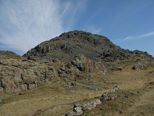 Photo could not load
NM5334 : Beinn Fhada
Richard Webb
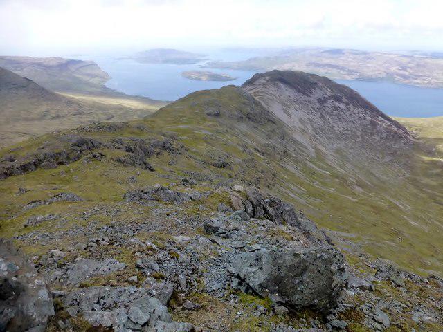 Photo could not load
NM5334 : A View Down The Beinn Fhada Ridge
Rude Health
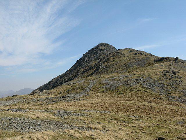 Photo could not load
NM5334 : Beinn Fhada
Richard Webb
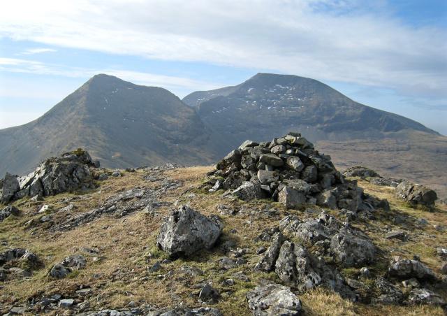 Photo could not load
NM5434 : Beinn Fhada - Summit Cairn
Hill Walker
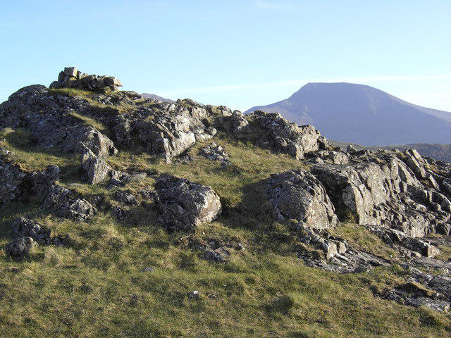 Photo could not load
NM5434 : Beinn Fhada Summit
Colin Kinnear
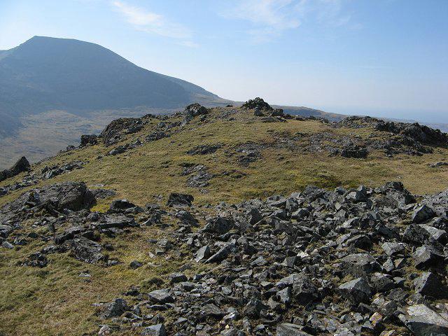 Photo could not load
NM5434 : Beinn Fhada, the summit
Richard Webb
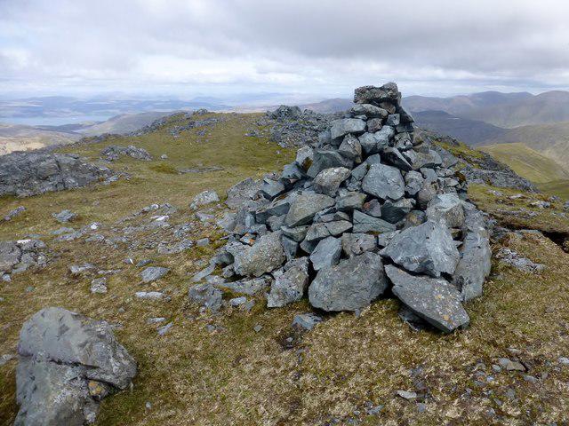 Photo could not load
NM5434 : Beinn Fhada
Rude Health
Hill facts and local notes
Classifications
Elevation
702m
2,303 ft
Prominence
174m
Coordinates
56.4420, -5.9925
NM540349
OS Map
47 48
Explorer: 375W
At the Summit
The summit of Beinn Fhada is marked by a substantial cairn, an ideal perch for a well-deserved sandwich and a scenic backdrop for that obligatory summit selfie.
Terrain & Geology
Beinn Fhada is predominantly composed of gneiss and schist, showcasing classic Highland metamorphic geology. Its rugged terrain is shaped by glacial activity, leaving behind striking cliffs and delicate corries.
Views & Scenery
From the summit, enjoy breathtaking views of Loch Duich, the Five Sisters of Kintail, and the expansive landscapes of the northern Highlands. On clear days, you may even catch a glimpse of Skye shimmering on the horizon.
History & Heritage
Name Origin
The name 'Beinn Fhada' translates to 'Long Hill' in Gaelic, a fitting description for its elongated shape.
Historical Significance
Like many Munros in the Highlands, Beinn Fhada has connections to local folklore and history, often referenced in tales of clan battles and nature's beauty.
Getting There & Facilities
Parking
Parking is available at the Inverinate Hotel with spaces for several vehicles. Early arrivals might get a better spot!
Public Transport
Regular bus services connect to Kyle of Lochalsh, and from there, local taxis are available to the start of the hike.
Nearby Facilities
While there are limited facilities near the parking area, Kyle of Lochalsh offers cafes, restaurants, and public toilets. Bring snacks – not everything is open after dark!
Safety Information
Known Hazards
- Be aware of rapidly changing weather conditions. Winds can be brisk, and the terrain may be slippery, especially in rainy conditions. Low visibility can occur with fog and should be planned for.
General Safety Tips
- Check weather conditions before setting out
- Carry appropriate clothing and equipment
- Let someone know your planned route
- Take a map, compass, and GPS device
- Carry emergency supplies: food, water, first aid kit, torch
Hills
Some common questions about the hills answered
Are there group walks up Beinn Fhada?
Many walkers use Walkmates to join or organise walks with others. You can check for group walks around Beinn Fhada through the maps
Are there other walkers around Beinn Fhada?
Activity varies by location and time, but Walkmates lets you see whether others have shared walks or shown interest in this area. Find other people through the walking friends search walking friends for Beinn Fhada search or of course create your own walk for Beinn Fhada
Can I organise a walk to Beinn Fhada?
Yes. If there aren’t any walks listed already, you can create a walk and make it available for others to join.
If you're signed up to Walkmates, you can create a walk to Beinn Fhada.
How do I find a walk up this hill?
There are often multiple ways to walk this hill, depending on experience and route preference. Walkmates helps you explore walks and routes that others have shared.
Can I suggest a new route up Beinn Fhada?
Yes. You can suggest or create routes to share with others. Walkmates focuses on the social side of walking, so routes are used to help people organise walks and explore areas together, rather than as detailed navigation tools or route libraries.
Other uses really appreciate knowledgeable walkers sharing their routes. Share your favourite route to Beinn Fhada here
The is an error or something incorrect about this hill. How do I let you know?
We always strive to keep the information on Walkmates as accurate as possible. If you find an error, please let us know through the contact form and we'll aim to correct it as quickly as possible
Community Discussion
Comments
Location
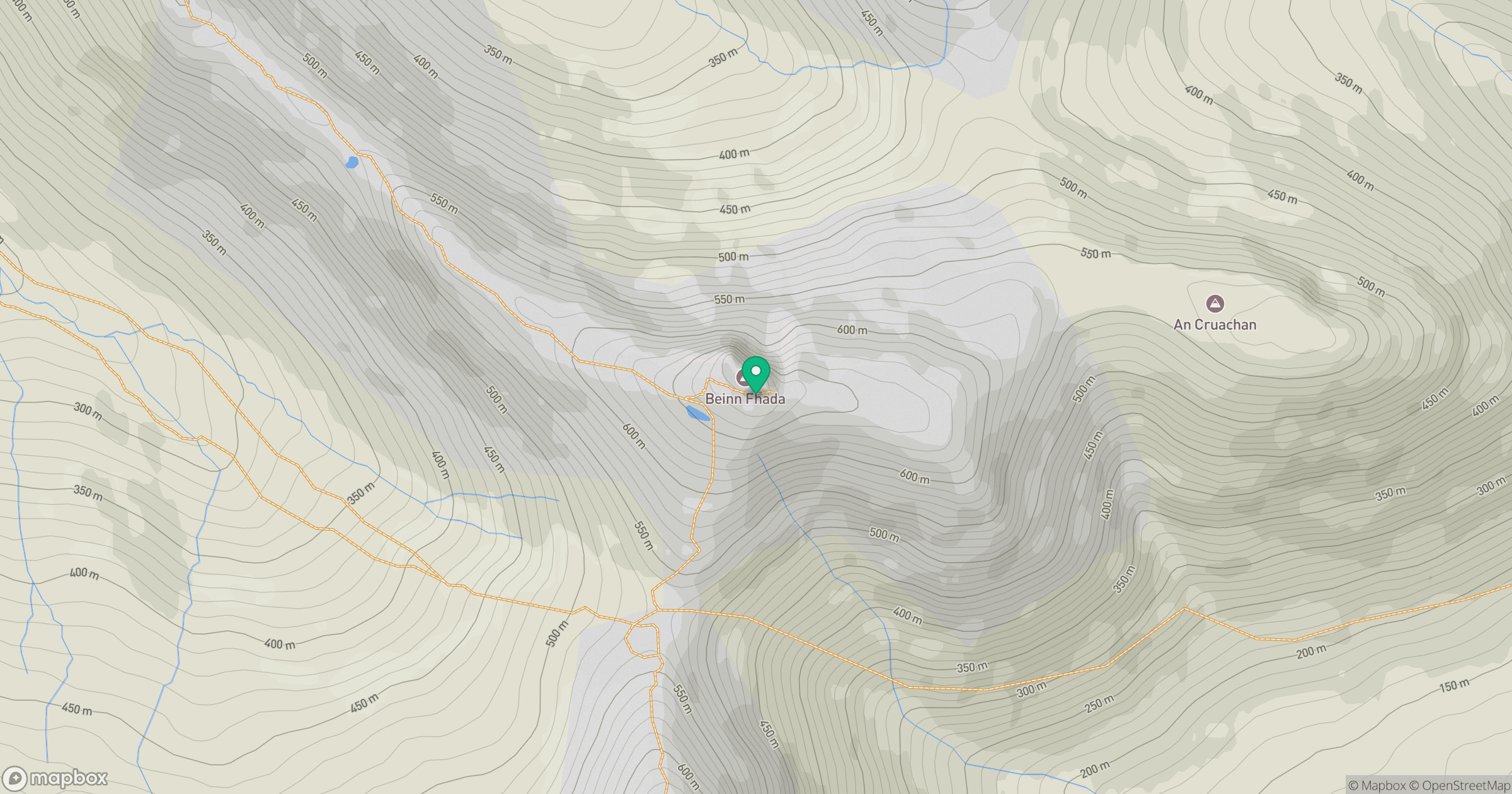
Grid reference: NM540349
View on OpenStreetMapOpens a map in a new tab, centred on the hill.
No comments yet. Be the first.