

Beinn an Leathaid
Good walks are even better shared.
Overview
Beinn an Leathaid: A Peaks of Adventure
Nestled in the stunning Scottish Highlands, Beinn an Leathaid stands as a proud Munro, attracting hikers from all corners seeking to embrace the rugged beauty of Scotland. With an elevation of 706 meters, this mountain isn’t just another pretty face in the skyline; it offers an array of experiences for the avid adventurer.
Geology
The mountain's ancient Lewisian gneiss rocks tell tales of geological history that date back millions of years. These formidable formations are not just resilient; they also present hikers with a taste of Scotland’s storied past, if you care to listen closely as the wind whispers through the crags.
Routes
A popular route begins from the A85 B road, leading you through green glens with stunning views of tranquil lochs. Spanning around 14 km, this moderate hike is manageable for most and certainly rewarding with every upward step.
Summit Features
As you reach the summit, you’ll be greeted by a majestic cairn, a standing ovation for all who have made the ascent. It’s a great spot for selfies, though keep an eye on the background—those towering peaks won’t wait for anyone!
Terrain Type
Expect a mix of grassy slopes interspersed with rocky areas and a good splash of bog—don’t worry, it’s just nature's way of making sure you really earned that summit!
Views
The views from Beinn an Leathaid are nothing short of spectacular. On a clear day, you’ll be treated to a panorama of surrounding Munros and the shimmering blue of Loch Awe. Spring and summer are your best bets for unobstructed vistas, while autumn’s hues add a delightful twist.
Hazards
While the path is generally well-trodden, caution is needed for loose rocks and sudden weather changes—a reminder that the mountains can be fickle.
Explore routes near Beinn an Leathaid
Public walks starting within 80 km of this hill. Nearby does not mean a route reaches the summit; check its map and access before setting out.
Banavie to Glen Loy Aqueduct: Neptune’s Staircase Canal Towpath
View route
Ben Nevis via Mountain Path
View route
Crinan Canal: Bellanoch and Dunardry towpath return
View route
Route planning notes
These notes describe possible approaches, not verified navigable routes or permission to cross land. Check current paths, local access rules and conditions before setting out.
From the A85 B road
A popular approach with an ascent starting from the A85, through beautiful glens and past stunning loch views before tackling the summit.
Make a day of it, together
Find someone to share the walk with, or organise a day out along a route you like.
Photo Gallery
View all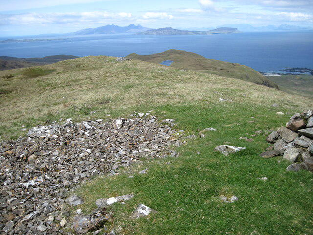 Photo could not load
NM5167 : Top of Beinn an Leathaid
Chris Wimbush
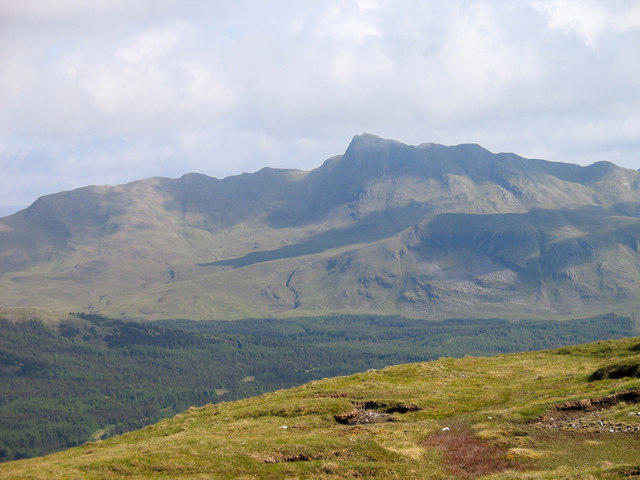 Photo could not load
NM5167 : Southern slope of Beinn an Leathaid
Trevor Littlewood
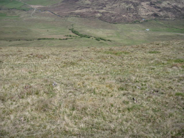 Photo could not load
NM5167 : Hillside of Beinn an Leathaid towards Allt Loisgte
Chris Wimbush
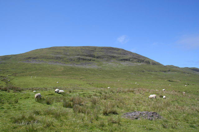 Photo could not load
NM5167 : Beinn an Leathaid
Keith Duncan
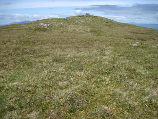 Photo could not load
NM5167 : Towards the top of Beinn an Leathaid
Chris Wimbush
Hill facts and local notes
Classifications
Elevation
401m
1,316 ft
Prominence
115m
Coordinates
56.7345, -6.0608
NM517676
OS Map
47
Explorer: 390W
At the Summit
At the summit, you'll be greeted by a majestic cairn—a stone tribute to the many adventurers who've dared to conquer this fine hill.
Terrain & Geology
The mountain is primarily composed of ancient Lewisian gneiss, which is among the oldest rock formations in Europe. These hard and resilient rocks have withstood the test of time, making them a solid foundation for adventurous spirits.
Views & Scenery
From the top, you can see an array of stunning landmarks, including the wild peaks of the surrounding Munros and the sparkly waters of nearby Loch Awe.
History & Heritage
Name Origin
The name 'Beinn an Leathaid' translates to 'The Hill of the Slopes', aptly describing its inviting yet challenging features.
Historical Significance
This mountain is a favourite among hillwalkers, having gained its Munro status not just for its height but also for the charm of its surroundings.
Getting There & Facilities
Check current local access restrictions, parking rules and transport timetables before travelling. These notes do not confirm public access to the summit.
Parking
Parking is available at the layby on the A85 B road, approximately 5 km from the hamlet of Dalmally. It's best to arrive early, as spaces fill up quickly on fine days.
Public Transport
The closest railway station is Dalmally, which has regular services to and from Glasgow. From the station, the layby parking is about a 5 km walk.
Nearby Facilities
While facilities are quite sparse in the immediate area, Dalmally boasts a couple of cafes and a small shop for those post-hike treats.
Safety Information
Known Hazards
- Beware of unstable rocks in some areas and keep an eye out for sudden weather changes—because in the Scottish Highlands, if you don't like the weather, just wait five minutes!
General Safety Tips
- Check weather conditions before setting out
- Carry appropriate clothing and equipment
- Let someone know your planned route
- Take a map, compass, and GPS device
- Carry emergency supplies: food, water, first aid kit, torch
Hills
Some common questions about the hills answered
Are there group walks up Beinn an Leathaid?
Many walkers use Walkmates to join or organise walks with others. You can check for group walks around Beinn an Leathaid through the maps
Are there other walkers around Beinn an Leathaid?
Activity varies by location and time, but Walkmates lets you see whether others have shared walks or shown interest in this area. Find other people through the walking friends search walking friends for Beinn an Leathaid search or of course create your own walk for Beinn an Leathaid
Can I organise a walk to Beinn an Leathaid?
Yes. If there aren’t any walks listed already, you can create a walk and make it available for others to join.
If you're signed up to Walkmates, you can create a walk to Beinn an Leathaid.
How do I find a walk up this hill?
There are often multiple ways to walk this hill, depending on experience and route preference. Walkmates helps you explore walks and routes that others have shared.
Can I suggest a new route up Beinn an Leathaid?
Yes. You can suggest or create routes to share with others. Walkmates focuses on the social side of walking, so routes are used to help people organise walks and explore areas together, rather than as detailed navigation tools or route libraries.
Other uses really appreciate knowledgeable walkers sharing their routes. Share your favourite route to Beinn an Leathaid here
The is an error or something incorrect about this hill. How do I let you know?
We always strive to keep the information on Walkmates as accurate as possible. If you find an error, please let us know through the contact form and we'll aim to correct it as quickly as possible
Community Discussion
Comments
Location
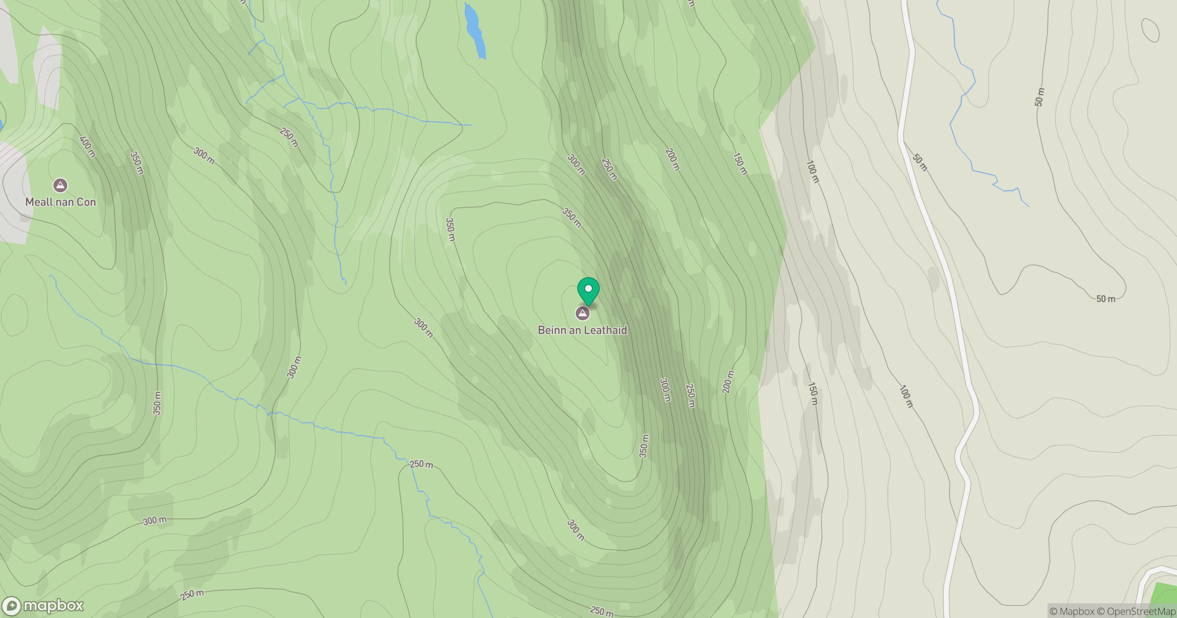
Grid reference: NM517676
View on OpenStreetMapOpens a map in a new tab, centred on the hill.
Hills within 30 km
Straight-line distance, not a walking route or confirmation of access.
Meall nan Con
437m
Beinn nan Losgann
315m
Meall an Tarmachain
405m
Ben Hiant
528m
Beinn Bhuidhe
282m
No comments yet. Be the first.