

Bangor Mountain
Good walks are even better shared.
SH5871 : Rivet benchmark on roadside wall, Bangor
Meirion Photo source
Overview
Bangor Mountain
Bangor Mountain, standing proudly at 370 meters above sea level, is a delightful gem nestled in the heart of Snowdonia National Park. Known as a 'Marilyn', it is defined by its prominence, making it an ideal target for both seasoned hikers and newcomers to the outdoor scene.
Geology
The rich geological history of Bangor Mountain is a striking feature. Mostly made up of volcanic rock, adventurers will discover ancient lava flows and sedimentary formations that are a testament to the geological chaos that shaped the area millions of years ago. Remember, each rock tells a story, and these ones are positively bursting with tales of fire and eruption!
Routes
The popular Bangor Mountain Circular Walk offers a delightful 6.5 km loop that is best enjoyed over approximately 2.5 hours. This moderate route starts from the quaint village of Bangor and meanders through scenic landscapes and stunning panoramas. Perfect for those looking to stretch their legs while soaking in views that’ll make you want to reach for your camera every five minutes!
Summit Features
When you reach the summit, you'll be greeted by a sizable stone cairn and the unmistakable trig point that marks your achievement. It’s the perfect spot to plant your flag (metaphorically speaking, of course) before descending to the less demanding heights of the nearest tea shop.
Terrain Type
Expect rugged grassland interspersed with rocky outcrops. Be warned, however; some patches may resemble a bog more than solid ground. It’s all part of the adventure!
Views
The views from the top are absolutely breathtaking, showcasing prominent landmarks such as the mighty Snowdon massif, glimpses of Anglesey to the north, and even the Brecon Beacons on exceptionally clear days. Spring and early summer boast vibrant wildflowers, while autumn is a feast of colours that sights will simply love to savour.
Hazards
Always remember, Mother Nature can be a tad cheeky! Be vigilant about the potential for changing weather conditions that can roll in faster than a freight train. Slippery rocks and bogs are also common; tread carefully — it's a great place for a soggy shoe!
Access
The nearest parking is a stone's throw from Bangor village, but do get there bright and early to secure your spot. For those relying on public transport, bus services from nearby towns like Caernarfon are readily available. So, no need to hitch a ride on a runaway sheep!
Facilities
Who doesn't love a good cuppa post-hike? The cafes and pubs in Bangor are well-equipped to cater to tired legs and grumbly tummies. A stop here is highly recommended!
History
The name 'Bangor' connects back to its roots in Welsh folklore and ecclesiastical significance, with 'bancor' essentially meaning 'the place of the choir'. A delightful nod to its long-standing importance in the area.
So, if you're looking for a mountain that checks all the boxes — great views, interesting geology, and a hearty piece of history — then Bangor Mountain might just be your next weekend adventure!
Explore routes near Bangor Mountain
Walks starting near this hill. Open a route to check its map, distance and full itinerary.
Snowdon Pyg Track returning by Miner's Track
View route
Llyn Crafnant: Lakeside Circuit from the NRW Car Park
View route
Beddgelert Forest: Derwen Circuit and Llyn Llywelyn
View route
Beddgelert Forest: Llyn Llywelyn Woodland Circuit
View route
Route planning notes
These notes describe possible approaches. Check a route's map and access information when planning your walk.
Bangor Mountain Circular Walk
A scenic loop starting from the nearby village, offering panoramic views of the surrounding mountains and countryside.
Make a day of it, together
Find someone to share the walk with, or organise a day out along a route you like.
Photo Gallery
View all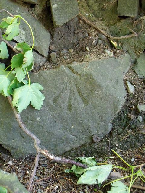 Photo could not load
SH5871 : Rivet benchmark on roadside wall, Bangor
Meirion
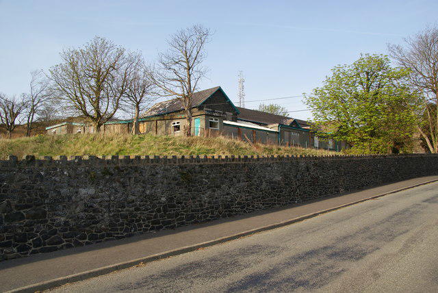 Photo could not load
SH5770 : Part of the former Minffordd Hospital
Bill Boaden
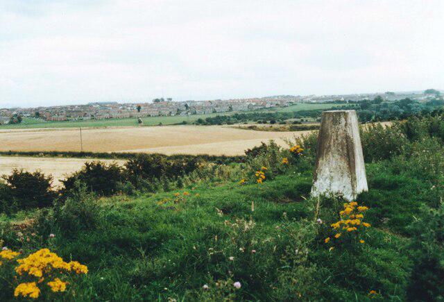 Photo could not load
SH5771 : Small hill with Ordnance Survey triangulation pillar southeast of Bangor
Roger Templeman
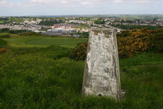 Photo could not load
SH5771 : Bryniau trig
Iain Macaulay
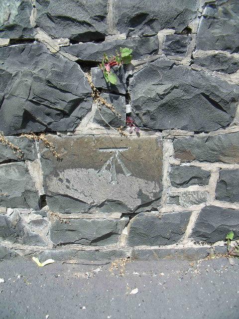 Photo could not load
SH5771 : Benchmark on the boundary wall of Minffordd Hospital, Bangor
Meirion
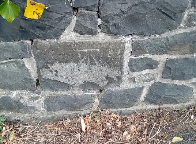 Photo could not load
SH5771 : Ordnance Survey Cut Mark
Adrian Dust
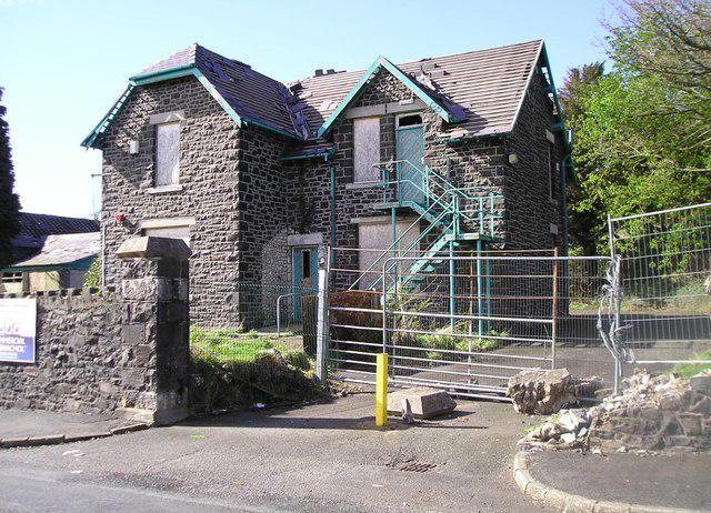 Photo could not load
SH5771 : Lodge, Minffordd Hospital
Chris Andrews
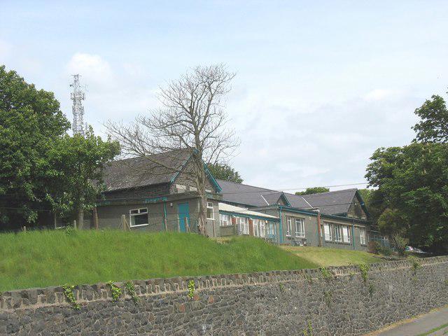 Photo could not load
SH5771 : Ysbyty Minffordd Hospital
Eric Jones
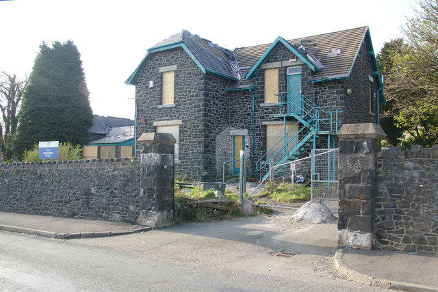 Photo could not load
SH5771 : Minffordd Hospital
Bill Boaden
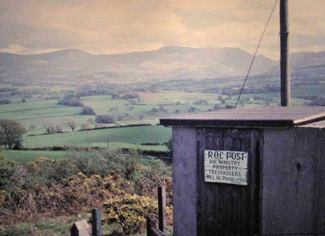
SH5871 : Bangor Mountain Looking East
Angus McCulloch
Hill facts and local notes
Classifications
Elevation
118m
387 ft
Prominence
31m
Coordinates
53.2188, -4.1287
SH579711
OS Map
114 115
Explorer: OL17W 263S
At the Summit
The summit is marked by a large stone cairn and boasts a stunning trig point that makes for a perfect photo opportunity.
Terrain & Geology
Bangor Mountain is primarily composed of volcanic rock, offering fascinating geological features, including ancient lava formations and sedimentary layers that tell the tale of the area's volcanic past.
Views & Scenery
From the summit, you can see the Snowdon massif, Anglesey to the north, and on a clear day, as far as the Brecon Beacons.
History & Heritage
Name Origin
The name 'Bangor' originates from the Welsh word 'bancor', meaning 'a place of the choir', likely linking to the historical importance of the area’s ecclesiastical heritage.
Historical Significance
The region around Bangor Mountain holds considerable archeological interest with reminders of Britain's prehistoric past.
Getting There & Facilities
Parking
The nearest parking is in the village of Bangor, around 1.5 km from the trailhead. It's a small car park, so arrive early to avoid disappointment.
Public Transport
Regular buses run from nearby towns such as Caernarfon and Conwy to Bangor. Check local schedules for current times.
Nearby Facilities
Several cafes and pubs in Bangor offer food, drink, and toilets. Perfect for a post-hike celebration or a cuppa!
Safety Information
Known Hazards
- Beware of changing weather conditions, which can turn from sunny to drizzly faster than you can say 'scone'. Watch out for slippery rocks and bogs.
General Safety Tips
- Check weather conditions before setting out
- Carry appropriate clothing and equipment
- Let someone know your planned route
- Take a map, compass, and GPS device
- Carry emergency supplies: food, water, first aid kit, torch
Hills
Some common questions about the hills answered
Are there group walks up Bangor Mountain?
Many walkers use Walkmates to join or organise walks with others. You can check for group walks around Bangor Mountain through the maps
Are there other walkers around Bangor Mountain?
Activity varies by location and time, but Walkmates lets you see whether others have shared walks or shown interest in this area. Find other people through the walking friends search walking friends for Bangor Mountain search or of course create your own walk for Bangor Mountain
Can I organise a walk to Bangor Mountain?
Yes. If there aren’t any walks listed already, you can create a walk and make it available for others to join.
If you're signed up to Walkmates, you can create a walk to Bangor Mountain.
How do I find a walk up this hill?
There are often multiple ways to walk this hill, depending on experience and route preference. Walkmates helps you explore walks and routes that others have shared.
Can I suggest a new route up Bangor Mountain?
Yes. You can suggest or create routes to share with others. Walkmates focuses on the social side of walking, so routes are used to help people organise walks and explore areas together, rather than as detailed navigation tools or route libraries.
Other uses really appreciate knowledgeable walkers sharing their routes. Share your favourite route to Bangor Mountain here
The is an error or something incorrect about this hill. How do I let you know?
We always strive to keep the information on Walkmates as accurate as possible. If you find an error, please let us know through the contact form and we'll aim to correct it as quickly as possible
Community Discussion
Comments
Location
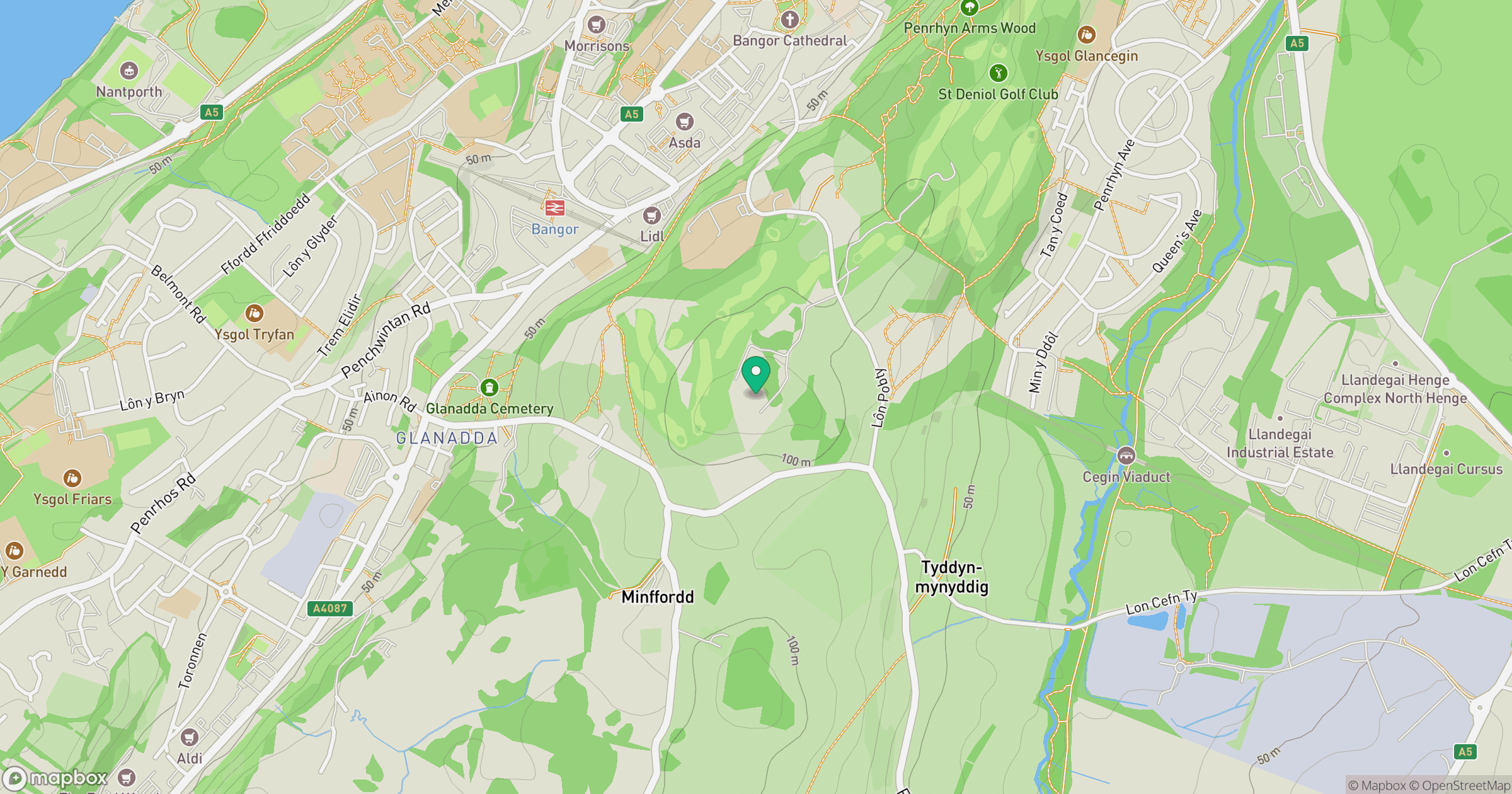
Grid reference: SH579711
View on OpenStreetMapOpens a map in a new tab, centred on the hill.
No comments yet. Be the first.