

Bakestall
Good walks are even better shared.
NY2630 : Descending Bakestall
Michael Graham Photo source
Overview
Bakestall: A Hidden Gem of the Lake District
Nestled in the stunning Lake District, Bakestall may not be the highest peak, but it certainly packs a punch with its picturesque views and rich geological history. Standing tall at 659 meters (2162 feet), it offers both a challenge and a serene escape into nature.
Geology
The mountain is composed primarily of volcanic rocks that tell tales of past eruptions. The varied terrain provides a unique opportunity for geology enthusiasts to explore ancient geological formations along the hiking routes. Remember, though—these rocks might not have the answers to life’s greatest questions; they’re more of a silent witness to time!
Route Description
One of the most popular routes is the Grisedale Pike to Bakestall path. Spanning approximately 5.5 km, this moderately challenging walk will take around three hours to complete. The path follows a ridge, embarking on a journey with stunning panoramic views, especially as you approach the summit. Be sure to keep an eye on the weather—Mother Nature does enjoy a good surprise!
Summit Features
At the summit, hikers are greeted by a modest stone cairn, a traditional marker that signifies your achievement. Don’t forget to snap a selfie to boast about your conquest to your friends! The 360-degree vistas are simply breathtaking, with landmarks such as Skiddaw and the Northern Fells showcasing their magnificence in every direction.
Terrain Type
The terrain includes rocky outcrops intertwined with grassy patches, providing a little variety for your hiking boots. Just a heads up: it can get quite muddy, especially if the rain has decided to pay a visit.
Views and Best Seasons
From Bakestall, your eyes will feast on the sweeping landscapes of the Lake District, offering glorious views, particularly in spring and autumn. Those seasons present the best chances for clear skies and pleasant weather, making your hike that much more enjoyable.
Hazards
As always, be cautious of loose rocks on steeper sections and the unpredictability of Lake District weather. Although the paths are generally well-trodden, avoid the muddy patches if you value your climbing gear.
Access and Facilities
To embark on your Bakestall adventure, park at the Dash Falls Car Park, about 4 km from the trailhead. Public transport options are available, with regular bus services running from Keswick to Braithwaite. Once back in Keswick, treat yourself to a warm drink and perhaps a slice of cake in one of the many charming cafes.
Conclusion
In summary, Bakestall offers an engaging mix of natural beauty, geological wonder, and achievable summiting. Perfect for day hikers or those looking for a leisurely stroll with a view. Just remember—while the mountain can be challenging, the results are always worth it. Plan ahead, tread wisely, and enjoy your time in one of the UK’s most beautiful regions!
Explore routes near Bakestall
Walks starting near this hill. Open a route to check its map, distance and full itinerary.
Brae Fell from Longlands Wainwright
View route
Binsey from Binsey Lodge Direct Out and Back Wainwright
View route
Mungrisdale Common and Bowscale Fell from Mosedale Valley Wainwright
View route
Derwentwater Walk: full lakeside circuit from Keswick
View route
Route planning notes
These notes describe possible approaches. Check a route's map and access information when planning your walk.
Grisedale Pike to Bakestall
A scenic route following the ridge from Grisedale Pike to the summit of Bakestall, offering stunning views along the way.
Make a day of it, together
Find someone to share the walk with, or organise a day out along a route you like.
Photo Gallery
View all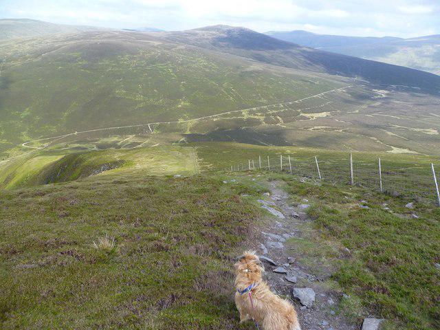 Photo could not load
NY2630 : Descending Bakestall
Michael Graham
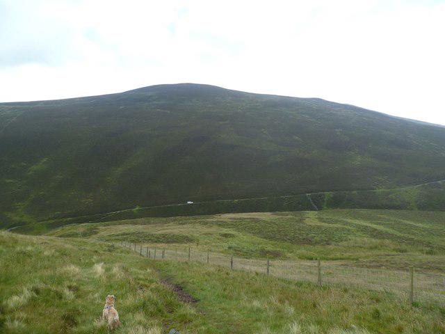 Photo could not load
NY2630 : On Birkett Edge
Michael Graham
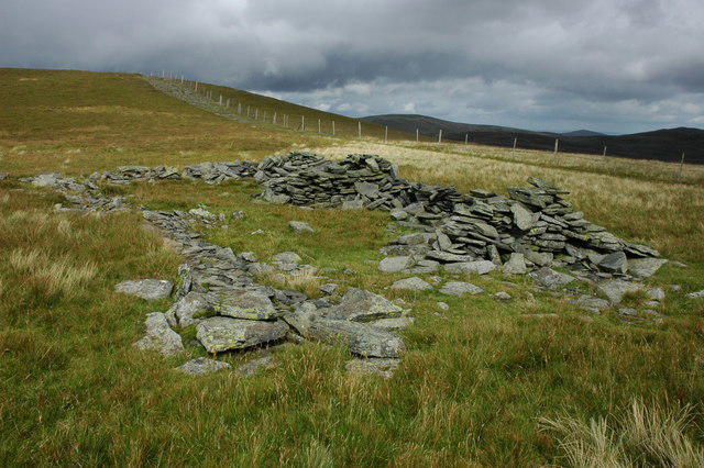 Photo could not load
NY2630 : Sheepfold on Bakestall
Philip Halling
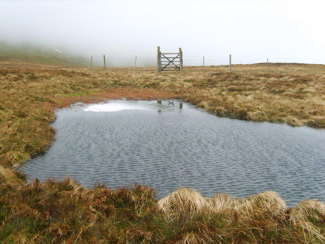 Photo could not load
NY2630 : Small Tarn, Bakestall
Michael Graham
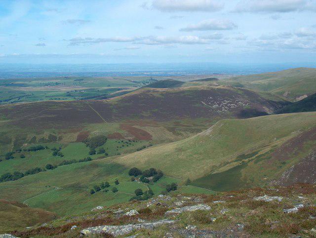 Photo could not load
NY2630 : Above Dead Crags
Bill Boaden
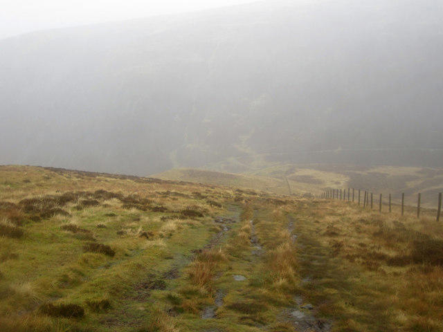 Photo could not load
NY2630 : The path down Birkett Edge
Graham Robson
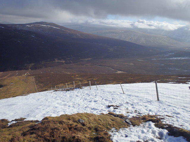 Photo could not load
NY2630 : Birkett Edge
Michael Graham
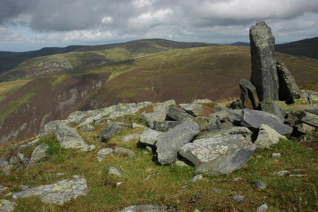 Photo could not load
NY2630 : View from Bakestall
Philip Halling
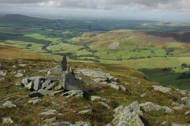 Photo could not load
NY2630 : Dash valley from Bakestall
Philip Halling
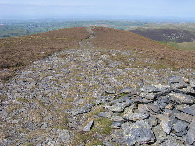
NY2630 : Bakestall Summit
Shaun Ferguson
Hill facts and local notes
Classifications
Elevation
674m
2,210 ft
Prominence
11m
Coordinates
54.6664, -3.1391
NY266307
OS Map
89 90
Explorer: OL4N OL4S
At the Summit
The summit is marked by a modest stone cairn, offering a dramatic 360-degree view of the surrounding peaks, including Skiddaw and the Northern Fells.
Terrain & Geology
Primarily composed of volcanic rocks, Bakestall showcases impressive geological formations that tell the story of ancient eruptions and lava flows.
Views & Scenery
From the summit, one can see the sweeping landscapes of Skiddaw, Blencathra, and the Solway Firth to the north.
History & Heritage
Name Origin
The name 'Bakestall' possibly derives from the local dialect meaning 'baking place', likely referring to the area's volcanic past.
Historical Significance
Bakestall is part of the Lake District's rich heritage, attracting hikers and nature lovers since the early 19th century.
Getting There & Facilities
Parking
Parking is available at the Dash Falls Car Park, located approximately 4 km from the trailhead.
Public Transport
Regular bus services from Keswick to Braithwaite make it easy for hikers using public transport.
Nearby Facilities
Nearby facilities include cafes and shops in Keswick, as well as public toilets located in the town.
Safety Information
Known Hazards
- Loose rocks on steeper sections, changing weather conditions, and muddy paths in wet conditions.
General Safety Tips
- Check weather conditions before setting out
- Carry appropriate clothing and equipment
- Let someone know your planned route
- Take a map, compass, and GPS device
- Carry emergency supplies: food, water, first aid kit, torch
Hills
Some common questions about the hills answered
Are there group walks up Bakestall?
Many walkers use Walkmates to join or organise walks with others. You can check for group walks around Bakestall through the maps
Are there other walkers around Bakestall?
Activity varies by location and time, but Walkmates lets you see whether others have shared walks or shown interest in this area. Find other people through the walking friends search walking friends for Bakestall search or of course create your own walk for Bakestall
Can I organise a walk to Bakestall?
Yes. If there aren’t any walks listed already, you can create a walk and make it available for others to join.
If you're signed up to Walkmates, you can create a walk to Bakestall.
How do I find a walk up this hill?
There are often multiple ways to walk this hill, depending on experience and route preference. Walkmates helps you explore walks and routes that others have shared.
Can I suggest a new route up Bakestall?
Yes. You can suggest or create routes to share with others. Walkmates focuses on the social side of walking, so routes are used to help people organise walks and explore areas together, rather than as detailed navigation tools or route libraries.
Other uses really appreciate knowledgeable walkers sharing their routes. Share your favourite route to Bakestall here
The is an error or something incorrect about this hill. How do I let you know?
We always strive to keep the information on Walkmates as accurate as possible. If you find an error, please let us know through the contact form and we'll aim to correct it as quickly as possible
Community Discussion
Comments
Location
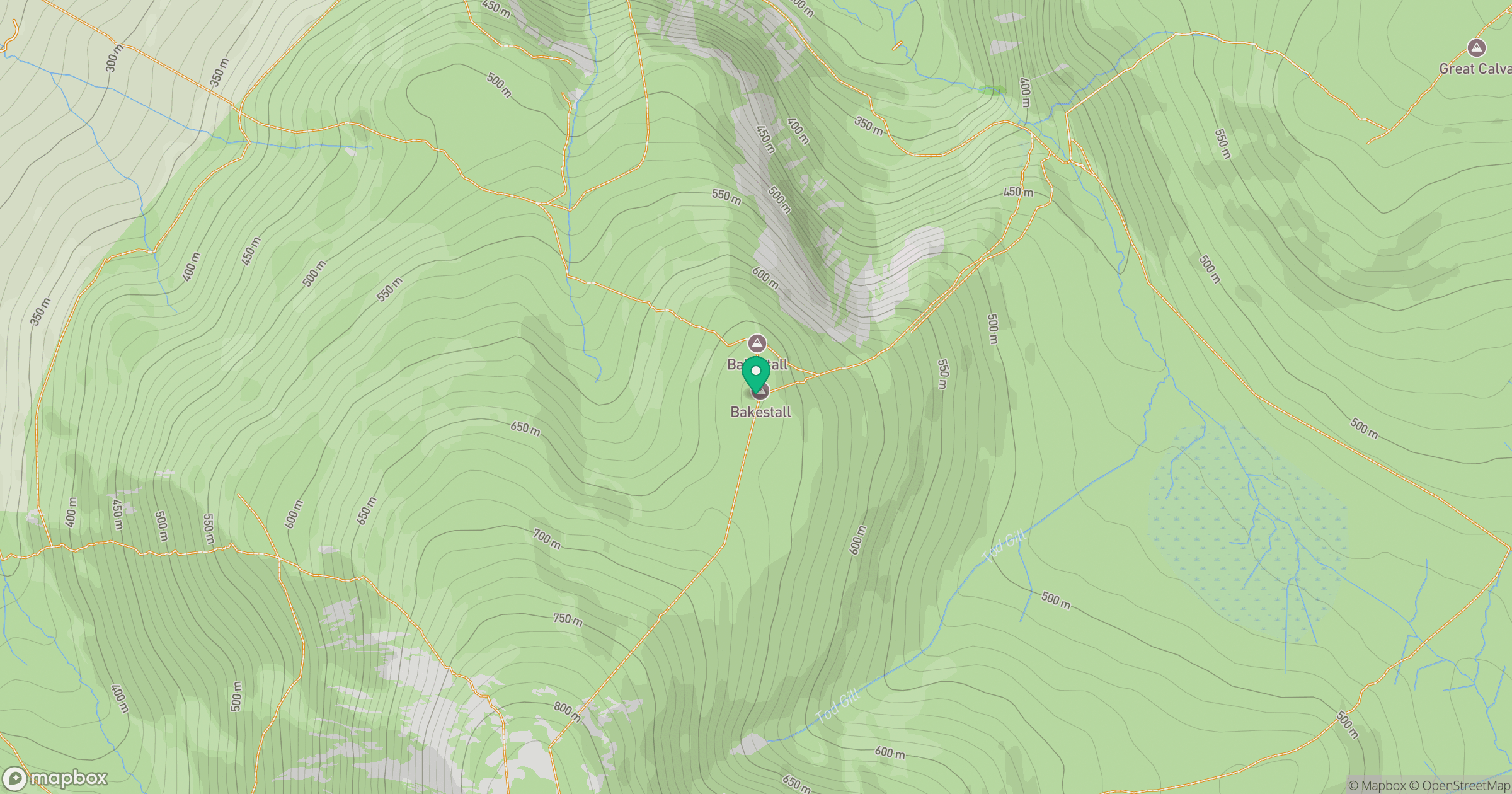
Grid reference: NY266307
View on OpenStreetMapOpens a map in a new tab, centred on the hill.
Nearby Hills
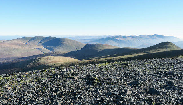
Skiddaw
930m

Blencathra - Hallsfell Top
868m
Grisedale Pike
790m
Crag Hill [Eel Crag]
839m
Grasmoor
852m
No comments yet. Be the first.