

An Sleaghach
Good walks are even better shared.
Overview
Overview
An Sleaghach stands proudly among the Scottish Highlands, boasting an elevation of 626 meters. This Marilyn gives you a taste of the Scottish wilderness, with stunning views and a rich geological tapestry.
Geology
The mountain's composition is mostly granite, offering a sturdy base that has withstood millennia of weathering. The mixture of schist and sedimentary rocks at its base tells a tale of the Earth’s history, making it a fascinating study for geology enthusiasts.
Route Information
The most popular route to summit An Sleaghach is via the West Highland Way. It's perfect for those looking to escape the hustle and bustle while still taking in some of the finest landscapes Scotland has to offer.
The distance is around 8.5 km from the West Highland Way approach, and it will take about 3.5 hours to reach the summit at a moderate pace. Don't forget to take some time to enjoy your break at the summit; you earned it!
Summit Features
At the top, you'll find a classic stone cairn, providing not only a practical function as a navigational aid but also a great spot for some photos. Watch your friends pretend to pull off a mountain pose—classic!
Terrain Type
You can expect a rugged hiking experience with some rocky outcrops and grassy patches. Just be wary of the boggy areas; they can be a bit of a wet blanket —literally!
Views
Once you reach the top, prepare for panoramic views that might just take your breath away—ideal for that Instagram post. On clear days, the sight of Loch Awe stretching out below is simply fantastic, and you'll be sure that your camera will be working overtime.
Hazards
As with many Highland hikes, the terrain can be deceptive. Watch for loosened rocks on the path, particularly on steeper sections. Also, weather in the Highlands can change quicker than you can say 'raincoat', so pack accordingly!
Nearby Summits
If you're feeling adventurous, consider extending your hike to include nearby summits such as Ben Lui and Beinn Dubh. Both provide additional peaks to conquer, as well as more chances to marvel at those breathtaking Highland vistas.
Access
Parking is available in a convenient lay-by on the B8077 road, though spaces fill up quicker than you can brew a pot of tea—arrive early! For those relying on public transport, regular buses run from Glasgow to Inveraray, but be prepared for a bit of a walk.
Inveraray itself offers a lovely experience with its cozy cafes and shops, making it the perfect place to refuel after your adventure.
Conclusion
In summary, An Sleaghach is a delightful mountain offering a perfect mix of challenge, beauty, and Scottish charm. Whether you’re an experienced mountaineer or just looking to stretch your legs, it’s a hike that will deliver in droves. Just remember your camera and sense of adventure!
Happy hiking!
Explore routes near An Sleaghach
Public walks starting within 80 km of this hill. Nearby does not mean a route reaches the summit; check its map and access before setting out.
Ben Nevis via Mountain Path
View route
Banavie to Glen Loy Aqueduct: Neptune’s Staircase Canal Towpath
View route
Crinan Canal: Bellanoch and Dunardry towpath return
View route
West Highland Way: Tyndrum to Bridge of Orchy
View route
Route planning notes
These notes describe possible approaches, not verified navigable routes or permission to cross land. Check current paths, local access rules and conditions before setting out.
West Highland Way Approach
A scenic route from the West Highland Way that offers a mixture of forest paths and open fields leading up to the mountain.
Make a day of it, together
Find someone to share the walk with, or organise a day out along a route you like.
Photo Gallery
View all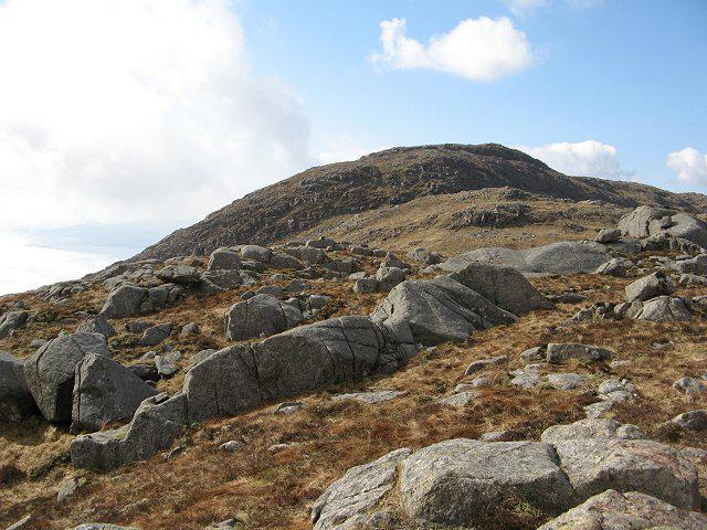 Photo could not load
NM7643 : An Sleaghach
Richard Webb
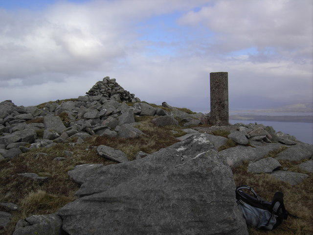 Photo could not load
NM7643 : An Sleaghach summit
Colin Kinnear
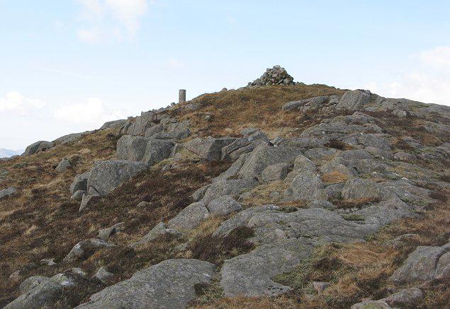 Photo could not load
NM7643 : An Sleaghach
Richard Webb
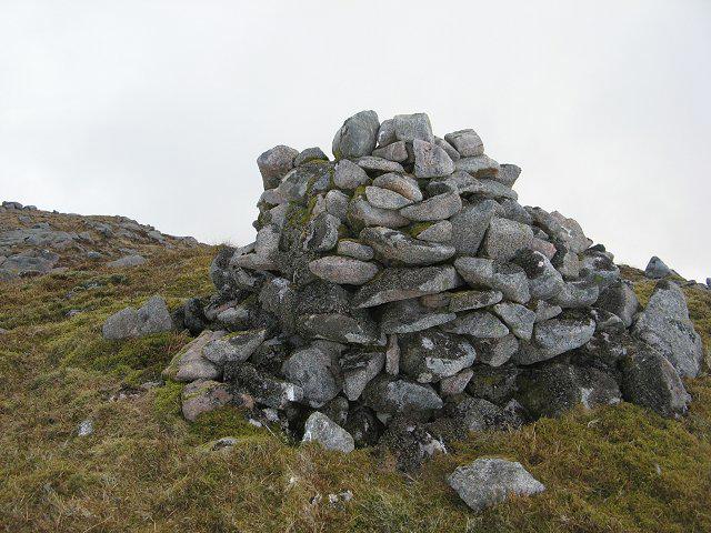 Photo could not load
NM7643 : An Sleaghach
Richard Webb
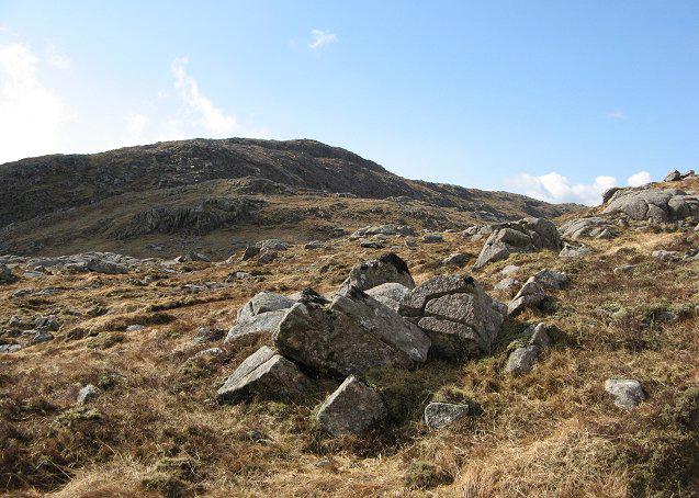 Photo could not load
NM7643 : An Sleaghach
Richard Webb
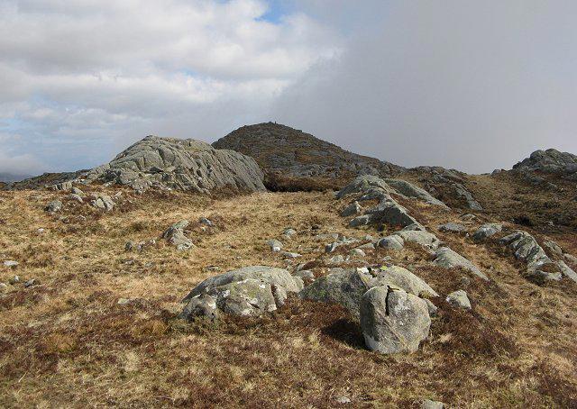 Photo could not load
NM7643 : An Sleaghach
Richard Webb
Hill facts and local notes
Classifications
Elevation
515m
1,690 ft
Prominence
310m
Coordinates
56.5294, -5.6361
NM764434
OS Map
49
Explorer: 383E 383W
At the Summit
The summit features a prominent cairn, providing a perfect spot for a rest stop—or for a selfie with that 'I conquered the mountain' face.
Terrain & Geology
An Sleaghach is largely composed of granite with some schist and sedimentary rock formations, showcasing the rugged beauty and ancient geological history of the area.
Views & Scenery
On a clear day, enjoy breathtaking vistas of Loch Awe, the surrounding peaks of the Highlands, and the sprawling green valleys below.
History & Heritage
Name Origin
An Sleaghach translates to 'The Sluggish One' in Gaelic, possibly referencing the landscape's boggy terrain.
Historical Significance
Historically, this region was significant for its agricultural land and remains a vital area for local wildlife.
Getting There & Facilities
Check current local access restrictions, parking rules and transport timetables before travelling. These notes do not confirm public access to the summit.
Parking
A small lay-by on the B8077 road, about 2 km from the trailhead, suitable for 2-3 vehicles.
Public Transport
Buses operate from Glasgow to nearby villages, with a further 5 km walk required to reach the starting point.
Nearby Facilities
Inveraray has several cafes and local shops, with toilets available in the town centre.
Safety Information
Known Hazards
- Looser rocks on the ascent may cause slips; also, be mindful of sudden weather changes common in the Highlands.
General Safety Tips
- Check weather conditions before setting out
- Carry appropriate clothing and equipment
- Let someone know your planned route
- Take a map, compass, and GPS device
- Carry emergency supplies: food, water, first aid kit, torch
Hills
Some common questions about the hills answered
Are there group walks up An Sleaghach?
Many walkers use Walkmates to join or organise walks with others. You can check for group walks around An Sleaghach through the maps
Are there other walkers around An Sleaghach?
Activity varies by location and time, but Walkmates lets you see whether others have shared walks or shown interest in this area. Find other people through the walking friends search walking friends for An Sleaghach search or of course create your own walk for An Sleaghach
Can I organise a walk to An Sleaghach?
Yes. If there aren’t any walks listed already, you can create a walk and make it available for others to join.
If you're signed up to Walkmates, you can create a walk to An Sleaghach.
How do I find a walk up this hill?
There are often multiple ways to walk this hill, depending on experience and route preference. Walkmates helps you explore walks and routes that others have shared.
Can I suggest a new route up An Sleaghach?
Yes. You can suggest or create routes to share with others. Walkmates focuses on the social side of walking, so routes are used to help people organise walks and explore areas together, rather than as detailed navigation tools or route libraries.
Other uses really appreciate knowledgeable walkers sharing their routes. Share your favourite route to An Sleaghach here
The is an error or something incorrect about this hill. How do I let you know?
We always strive to keep the information on Walkmates as accurate as possible. If you find an error, please let us know through the contact form and we'll aim to correct it as quickly as possible
Community Discussion
Comments
Location
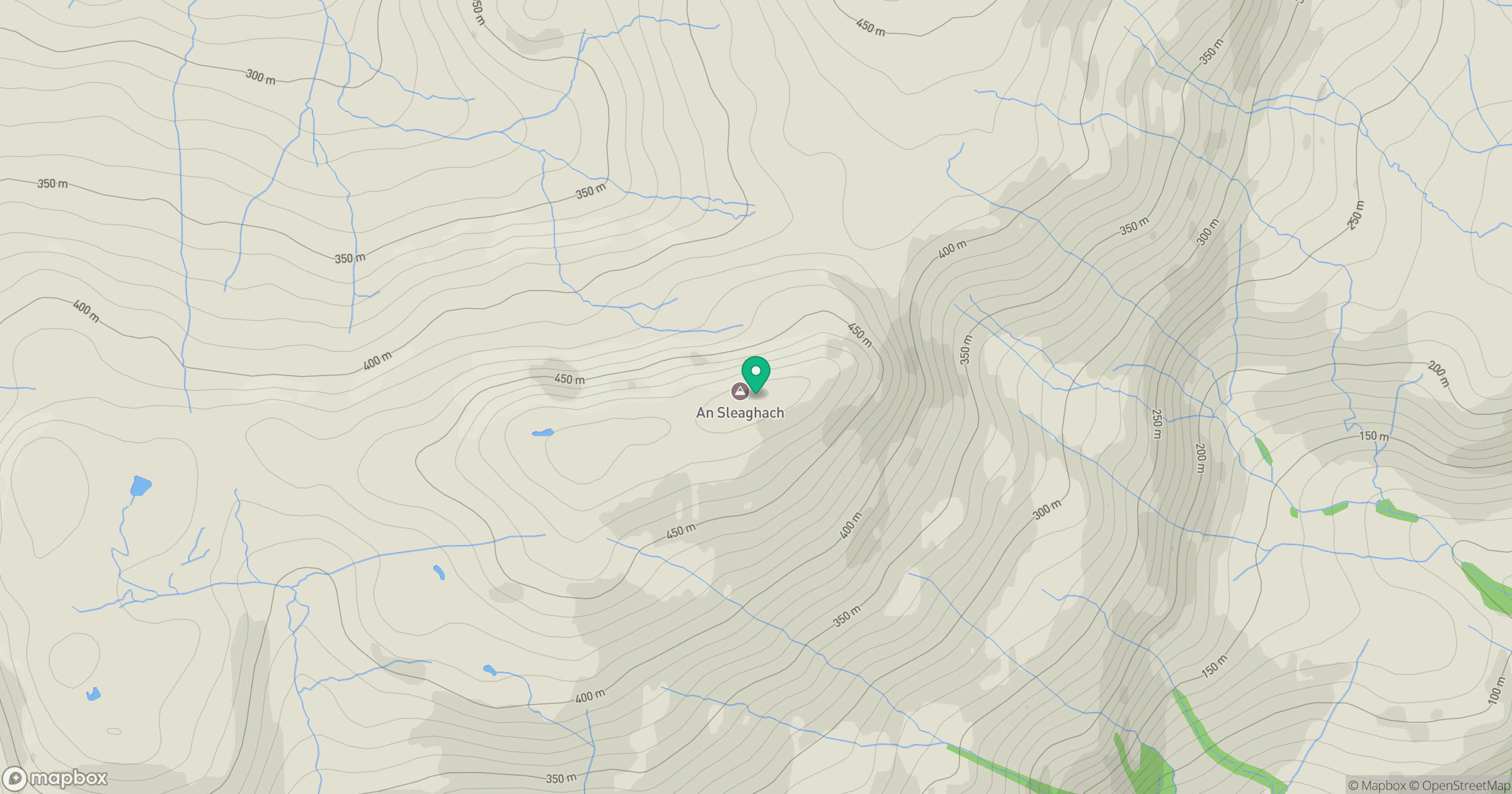
Grid reference: NM764434
View on OpenStreetMapOpens a map in a new tab, centred on the hill.
Hills within 30 km
Straight-line distance, not a walking route or confirmation of access.
No comments yet. Be the first.