

Allt-fawr
Good walks are even better shared.
SH6847 : A small island of peat on Allt Fawr
David Medcalf Photo source
Overview
Introduction
Allt-fawr towers over the stunning landscapes of Snowdonia National Park at an elevation of 718 meters. This often-overlooked gem offers a rewarding hike away from the bustle, with views that are nothing short of spectacular.
Geology
The volcanic origins of Allt-fawr contribute not only to its impressive cliffs but also to the rich biodiversity found in the region. Take a moment to appreciate the unique geological formations that tell tales of ancient eruptions and glacial movements.
Hiking Routes
Allt-fawr from Cwm Caseg
A popular route among locals, this path meanders through a beautiful mixture of forest trails and open fields, ensuring that your quads get a good workout without being too punishing. About 7.5 km long, it's a great half-day hike with an average ascent.
Old Drovers' Path from Nant Gwynant
Following in the footsteps of drovers is not only a delightful nod to history but also provides a gentle approach to the summit, making it suitable for families or less experienced hikers.
Summit Features
Upon reaching the summit, you'll find a quaint cairn waiting to welcome you. This is the perfect spot to rest and take in the surrounding scenery.
Terrain Type
Expect a varied terrain that includes rocky paths and grassy slopes. Keep an eye on your footing—it's not uncommon to find patches of heather and bracken that might surprise the unwary!
Views
The summit rewards those who trek up with jaw-dropping views of the nearby peaks, particularly Snowdon, and the picturesque Llyn Gwynant below. The best time to enjoy these vistas is undoubtedly in the clear days of spring and summer.
Access
Accessing Allt-fawr is straightforward, with a small car park at Cwm Caseg. As with any popular hiking spot, don’t be too late, or you might find yourself parking a tad too far away! Beddgelert is the nearest town, providing everything from maps to meals.
Conclusion
So, whether you're a seasoned hiker or just looking to stretch your legs and enjoy nature, Allt-fawr offers an inviting experience that showcases the beauty of Snowdonia without the crowds. Lace up your boots, grab your shades, and prepare for an adventure!
Don’t forget your camera—these views are worth remembering!
Explore routes near Allt-fawr
Walks starting near this hill. Open a route to check its map, distance and full itinerary.
Snowdon Pyg Track returning by Miner's Track
View route
Beddgelert Forest: Derwen Circuit and Llyn Llywelyn
View route
Beddgelert Forest: Llyn Llywelyn Woodland Circuit
View route
Carnedd Circular from Ogwen Valley
View route
Route planning notes
These notes describe possible approaches. Check a route's map and access information when planning your walk.
Allt-fawr from Cwm Caseg
This route starts from Cwm Caseg and winds its way up through scenic valleys, providing a lovely mix of woodland and open hillside, delivering a steady climb to the summit.
Old drovers' path from Nant Gwynant
A historic route that follows an old drovers' path, offering a gentle approach with stunning views of Llyn Gwynant.
Make a day of it, together
Find someone to share the walk with, or organise a day out along a route you like.
Photo Gallery
View all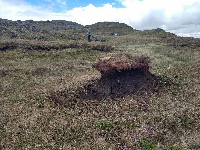 Photo could not load
SH6847 : A small island of peat on Allt Fawr
David Medcalf
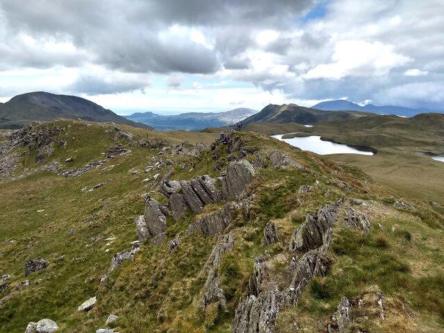 Photo could not load
SH6847 : Looking along the escarpment towards Moelwyn Mawr
David Medcalf
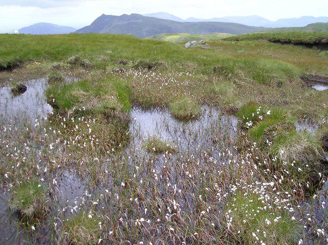 Photo could not load
SH6847 : Cotton Grass, Allt Fawr
Chris Andrews
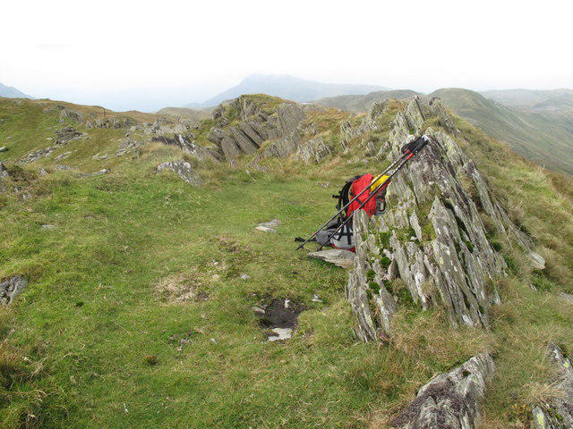 Photo could not load
SH6847 : Allt Fawr
Rude Health
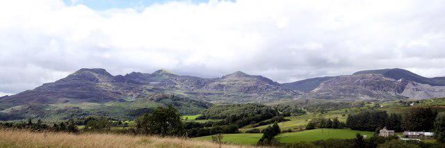 Photo could not load
SH6847 : Y Moelwynion
Phil Brandon Hunter
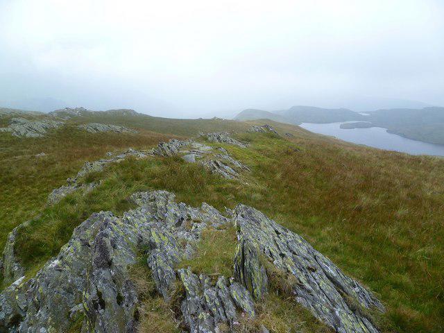 Photo could not load
SH6847 : On Allt Fawr
Michael Graham
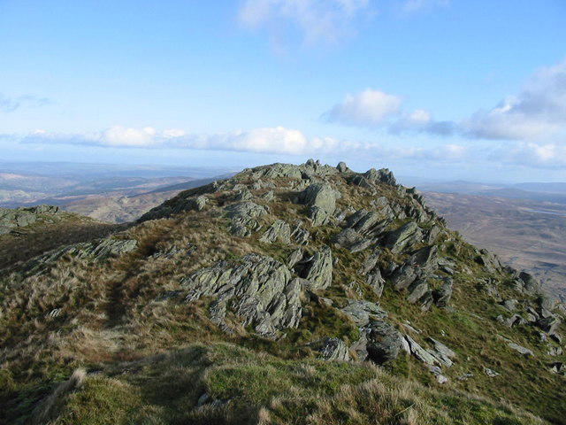 Photo could not load
SH6847 : Summit rocks, Allt Fawr.
Dewi
Hill facts and local notes
Classifications
Elevation
698m
2,290 ft
Prominence
246m
Coordinates
53.0082, -3.9662
SH681474
OS Map
115
Explorer: OL17W
At the Summit
The summit features a modest cairn marking the highest point, offering ample space for hikers to enjoy the views.
Terrain & Geology
Allt-fawr is primarily formed of volcanic rock, specifically rhyolitic and andesitic lavas, making for a rugged and attractive landscape. The area features glacial landforms, such as U-shaped valleys, indicating significant glacial activity in the past.
Views & Scenery
From the summit, hikers can enjoy breathtaking panoramas of Snowdon, Llyn Gwynant, and the surrounding hills of the Snowdonia range.
History & Heritage
Name Origin
The name 'Allt-fawr' translates to 'Great Slope' in Welsh, aptly describing the steep nature of the terrain.
Historical Significance
Allt-fawr has been a part of local culture and community, historically serving as a landmark for shepherds and drovers.
Getting There & Facilities
Parking
There is a small car park near Cwm Caseg, ideal for starting your hike. Arrive early during weekends or holiday seasons as spaces may fill up quickly.
Public Transport
The nearest bus service runs from Caernarfon to Beddgelert, with stops at Nant Gwynant. Welsh train services also provide access to the nearby areas.
Nearby Facilities
Cafes in Beddgelert offer refreshments, with public toilets available at several points in the village.
Safety Information
Known Hazards
- Be cautious of slippery rocks, especially after rain, and watch out for sudden changes in weather which are common in the area.
General Safety Tips
- Check weather conditions before setting out
- Carry appropriate clothing and equipment
- Let someone know your planned route
- Take a map, compass, and GPS device
- Carry emergency supplies: food, water, first aid kit, torch
Hills
Some common questions about the hills answered
Are there group walks up Allt-fawr?
Many walkers use Walkmates to join or organise walks with others. You can check for group walks around Allt-fawr through the maps
Are there other walkers around Allt-fawr?
Activity varies by location and time, but Walkmates lets you see whether others have shared walks or shown interest in this area. Find other people through the walking friends search walking friends for Allt-fawr search or of course create your own walk for Allt-fawr
Can I organise a walk to Allt-fawr?
Yes. If there aren’t any walks listed already, you can create a walk and make it available for others to join.
If you're signed up to Walkmates, you can create a walk to Allt-fawr.
How do I find a walk up this hill?
There are often multiple ways to walk this hill, depending on experience and route preference. Walkmates helps you explore walks and routes that others have shared.
Can I suggest a new route up Allt-fawr?
Yes. You can suggest or create routes to share with others. Walkmates focuses on the social side of walking, so routes are used to help people organise walks and explore areas together, rather than as detailed navigation tools or route libraries.
Other uses really appreciate knowledgeable walkers sharing their routes. Share your favourite route to Allt-fawr here
The is an error or something incorrect about this hill. How do I let you know?
We always strive to keep the information on Walkmates as accurate as possible. If you find an error, please let us know through the contact form and we'll aim to correct it as quickly as possible
Community Discussion
Comments
Location
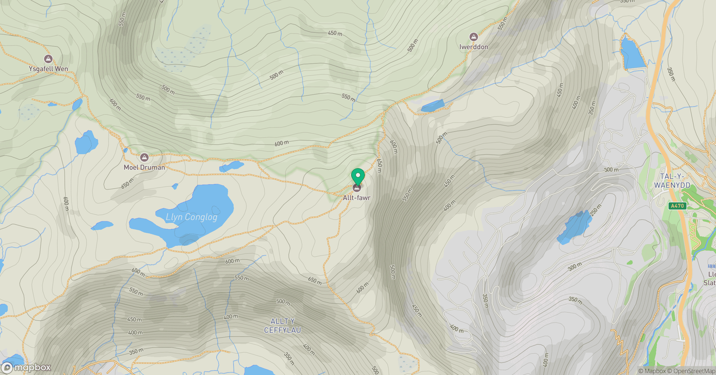
Grid reference: SH681474
View on OpenStreetMapOpens a map in a new tab, centred on the hill.
No comments yet. Be the first.